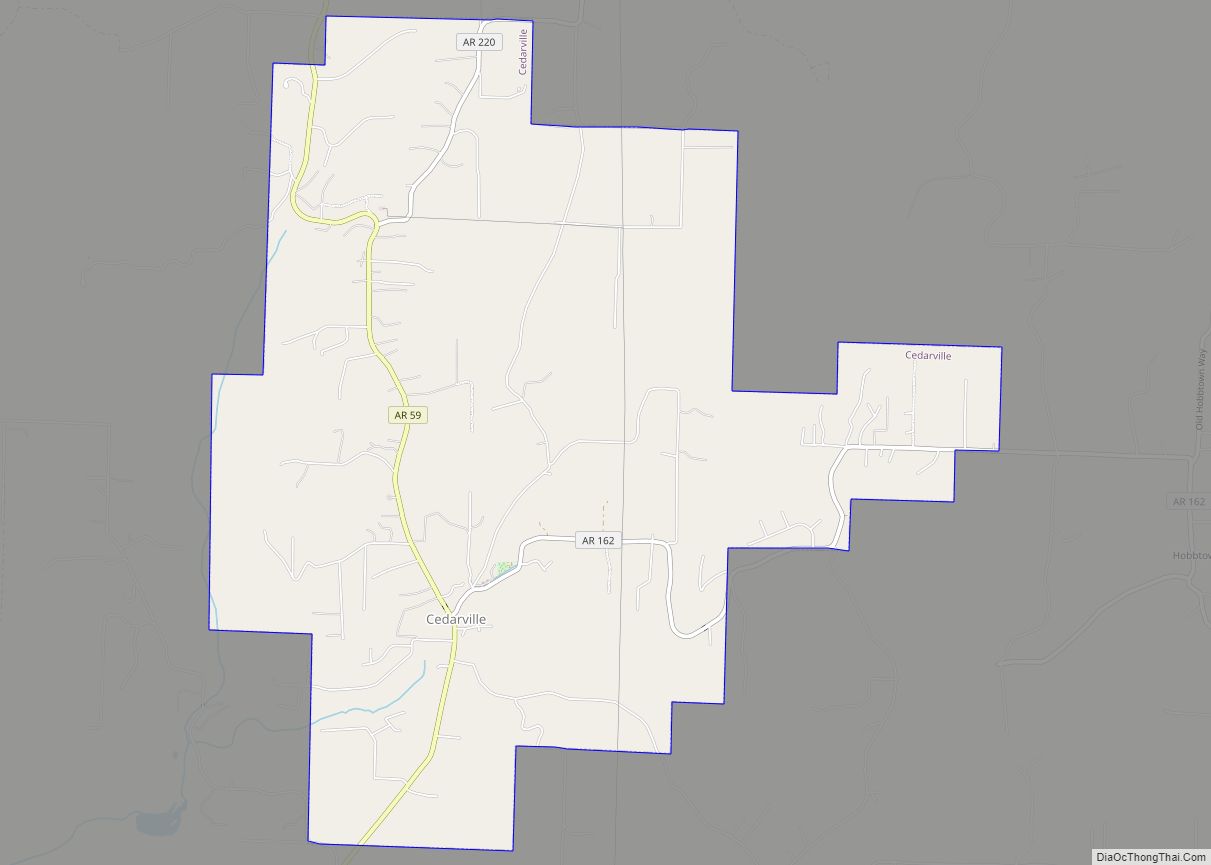
Map of Cave Springs city
Cave Springs is a city in Benton County, Arkansas. The population was 5,495 at the time of the 2020 census, up from 1,729 in 2010 census. It is part of the Northwest Arkansas metropolitan area. In June 2022, Cave Springs was named the 3rd highest average home values in the state of Arkansas. Cave Springs ... Read more
Map of Cave Springs city
Map of Cave City, Arkansas
Cave City is a city in Independence and Sharp counties in the U.S. state of Arkansas. The population was 1,904 at the 2010 census. The city was named for a large cave underneath the Crystal River Tourist Camp, which is the oldest motor court in Arkansas. Cave City is known for its award-winning “world’s sweetest” ... Read more
Map of Cave City, Arkansas
Map of Central City town, Arkansas
Central City is a city in Sebastian County, Arkansas, United States. It is part of the Fort Smith, Arkansas–Oklahoma Metropolitan Statistical Area. At the 2010 Census, the population of Central City was 502. According to the 2018 US Census Bureau estimates, Central City had a population of 497. Central City town overview: Name: Central City ... Read more
Map of Central City town, Arkansas
Map of Centerton city
Centerton is a city in Benton County, Arkansas, United States. Located west of Bentonville on Highway 102, Centerton has grown from a railroad stop and fruit orchard community in the early 20th century into a suburban bedroom community within the rapidly growing Northwest Arkansas (NWA) region. The city’s population has grown from 491 in 1990 ... Read more
Map of Centerton city
Map of Center Ridge CDP
Center Ridge is an unincorporated census-designated place in Conway County, Arkansas, United States. Per the 2020 census, the population was 2,235. Center Ridge CDP overview: Name: Center Ridge CDP LSAD Code: 57 LSAD Description: CDP (suffix) State: Arkansas County: Conway County Elevation: 728 ft (222 m) Total Area: 9.52 sq mi (24.67 km²) Land Area: 9.47 sq mi (24.53 km²) Water Area: 0.05 sq mi ... Read more
Map of Center Ridge CDP
Map of Cherokee Village city
Cherokee Village is a city in Fulton and Sharp counties in the U.S. state of Arkansas. The population was 4,671 at the 2010 census, with an estimated population of 4,661 in 2019. Cherokee Village city overview: Name: Cherokee Village city LSAD Code: 25 LSAD Description: city (suffix) State: Arkansas County: Fulton County, Sharp County Elevation: ... Read more
Map of Cherokee Village city
Map of Cherokee City CDP
Cherokee City is an unincorporated census-designated place (CDP) in Benton County, Arkansas, United States. Per the 2020 census, the population was 73. It is the location of (or is the nearest community to) Coon Creek Bridge, which is located on Cty Rd. 24 and is listed on the National Register of Historic Places. The community ... Read more
Map of Cherokee City CDP
Map of Charleston city, Arkansas
Charleston is a city in Franklin County, Arkansas, United States, and along with Ozark is one of the two county seats of Franklin County. It is part of the Fort Smith, Arkansas–Oklahoma Metropolitan Statistical Area. The population was 2,494 at the 2010 census, down from 2,965 in 2000. Charleston city overview: Name: Charleston city LSAD ... Read more
Map of Charleston city, Arkansas
Map of Chidester city
Chidester is a city in Ouachita County, Arkansas, United States. The population was 335 at the 2000 census. It is part of the Camden Micropolitan Statistical Area. Chidester city overview: Name: Chidester city LSAD Code: 25 LSAD Description: city (suffix) State: Arkansas County: Ouachita County Elevation: 236 ft (72 m) Total Area: 5.31 sq mi (13.76 km²) Land Area: 5.31 sq mi ... Read more
Map of Chidester city
Map of Chester town, Arkansas
Chester is a town in Crawford County, Arkansas, United States. It is part of the Fort Smith, Arkansas–Oklahoma Metropolitan Statistical Area. As of the 2020 Census the population was 144. Chester town overview: Name: Chester town LSAD Code: 43 LSAD Description: town (suffix) State: Arkansas County: Crawford County Elevation: 883 ft (269 m) Total Area: 0.51 sq mi (1.32 km²) ... Read more
Map of Chester town, Arkansas
Map of Cherry Valley city, Arkansas
Cherry Valley is a city in Cross County, Arkansas, United States. The population was 651 at the 2010 census. Cherry Valley city overview: Name: Cherry Valley city LSAD Code: 25 LSAD Description: city (suffix) State: Arkansas County: Cross County Elevation: 282 ft (86 m) Total Area: 0.77 sq mi (1.98 km²) Land Area: 0.77 sq mi (1.98 km²) Water Area: 0.00 sq mi (0.00 km²) Total ... Read more
Map of Cherry Valley city, Arkansas
Map of Clarksville city, Arkansas
Clarksville is a city in Johnson County, Arkansas, United States. As of the 2010 census the population was 9,178, up from 7,719 in 2000. As of 2018, the estimated population was 9,743. The city is the county seat of Johnson County. It is nestled between the Arkansas River and the foothills of the Ozark Mountains, ... Read more
Map of Clarksville city, Arkansas