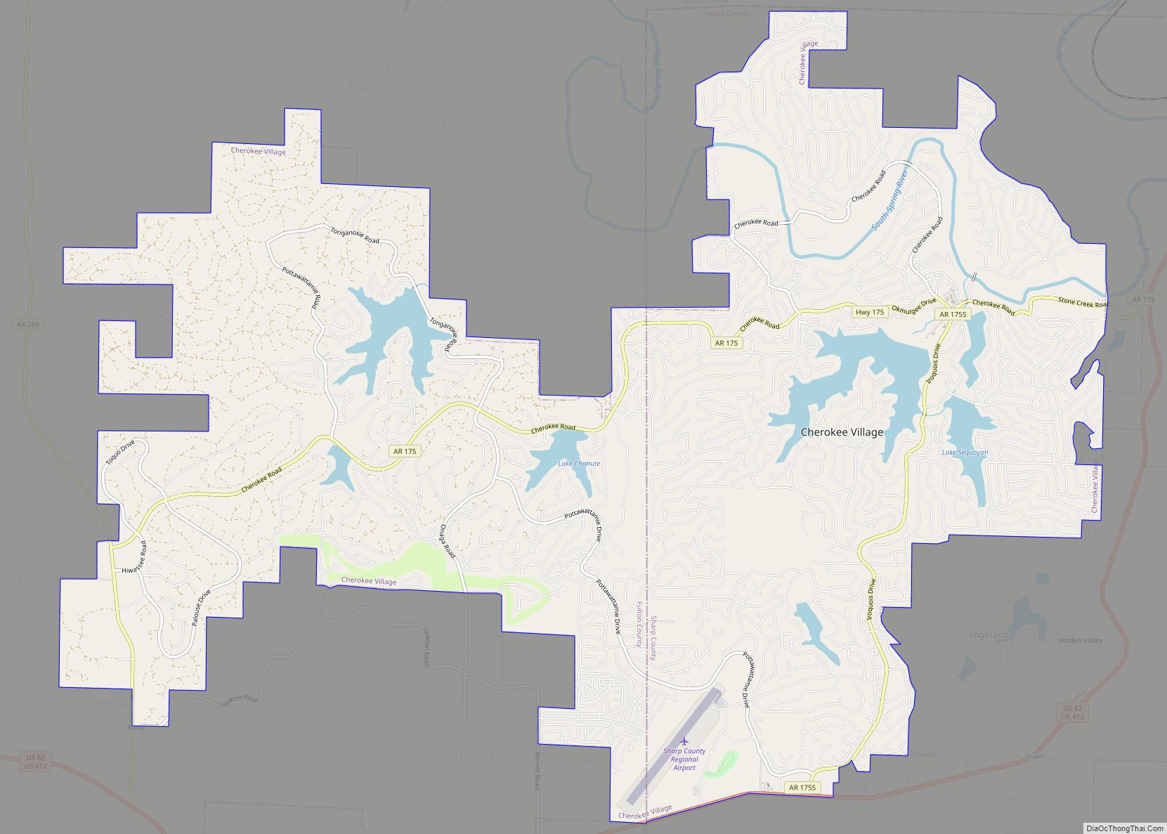
Cherokee Village is a city in Fulton and Sharp counties in the U.S. state of Arkansas. The population was 4,671 at the 2010 census, with an estimated population of 4,661 in 2019.
| Name: | Cherokee Village city |
|---|---|
| LSAD Code: | 25 |
| LSAD Description: | city (suffix) |
| State: | Arkansas |
| County: | Fulton County, Sharp County |
| Elevation: | 692 ft (211 m) |
| Total Area: | 21.31 sq mi (55.19 km²) |
| Land Area: | 20.43 sq mi (52.91 km²) |
| Water Area: | 0.88 sq mi (2.28 km²) |
| Total Population: | 4,780 |
| Population Density: | 234.00/sq mi (90.35/km²) |
| ZIP code: | 72525, 72529 |
| Area code: | 870 |
| FIPS code: | 0513450 |
| GNISfeature ID: | 2404038 |
| Website: | www.cherokeevillage.org |
Online Interactive Map
Click on ![]() to view map in "full screen" mode.
to view map in "full screen" mode.
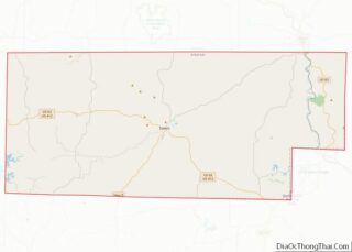
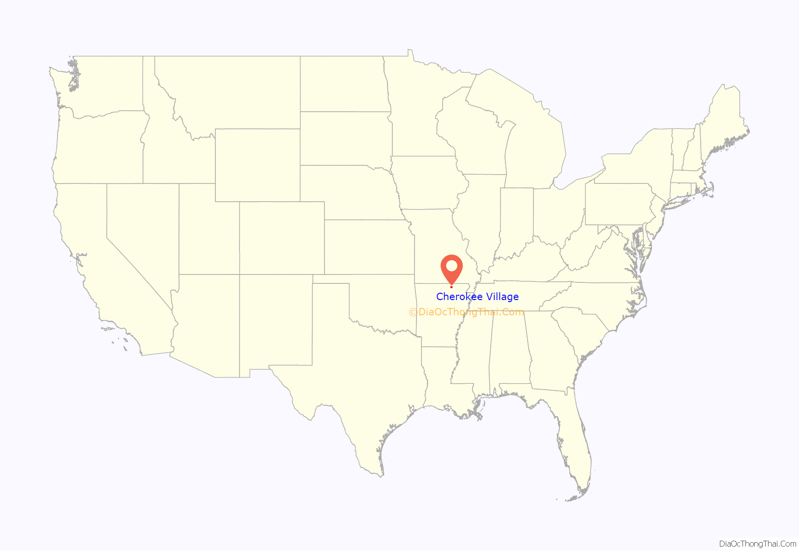
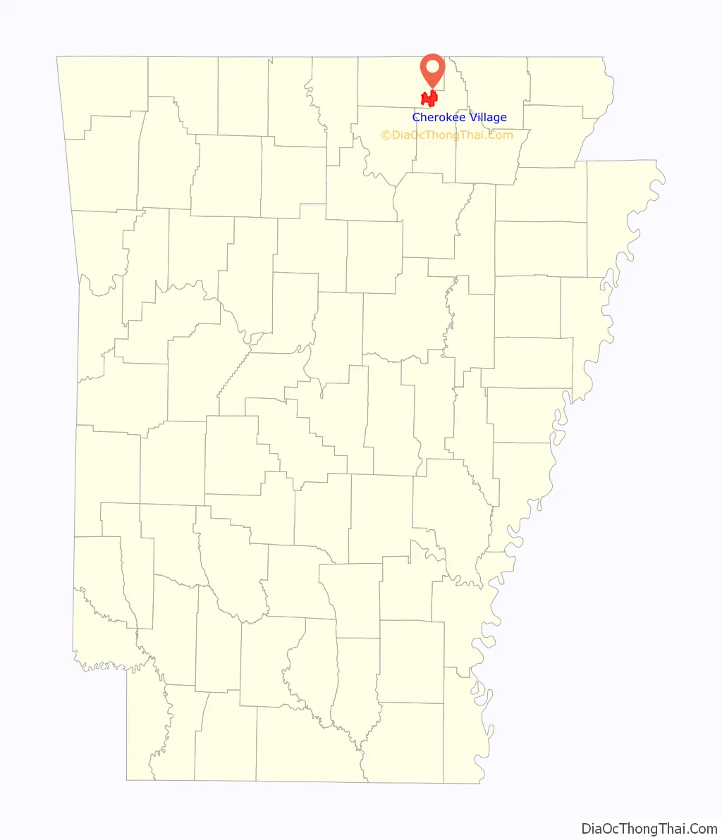
Cherokee Village location map. Where is Cherokee Village city?
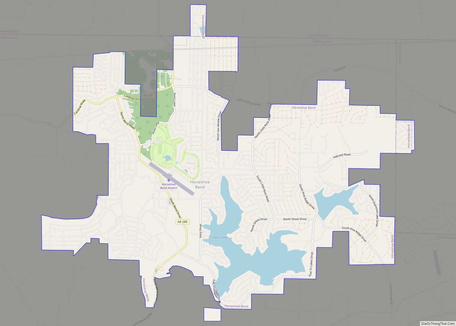
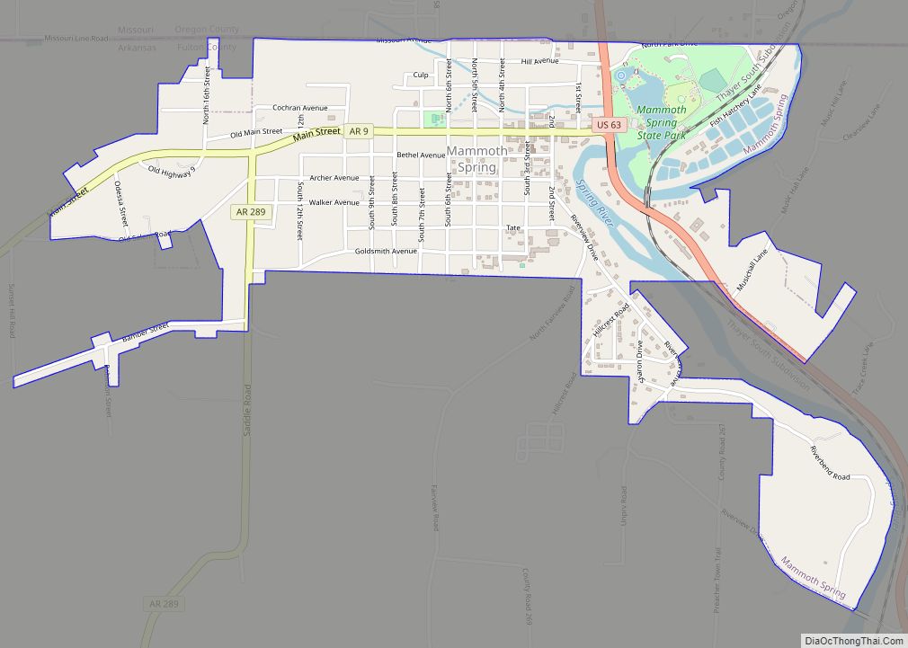
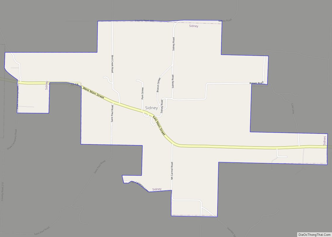
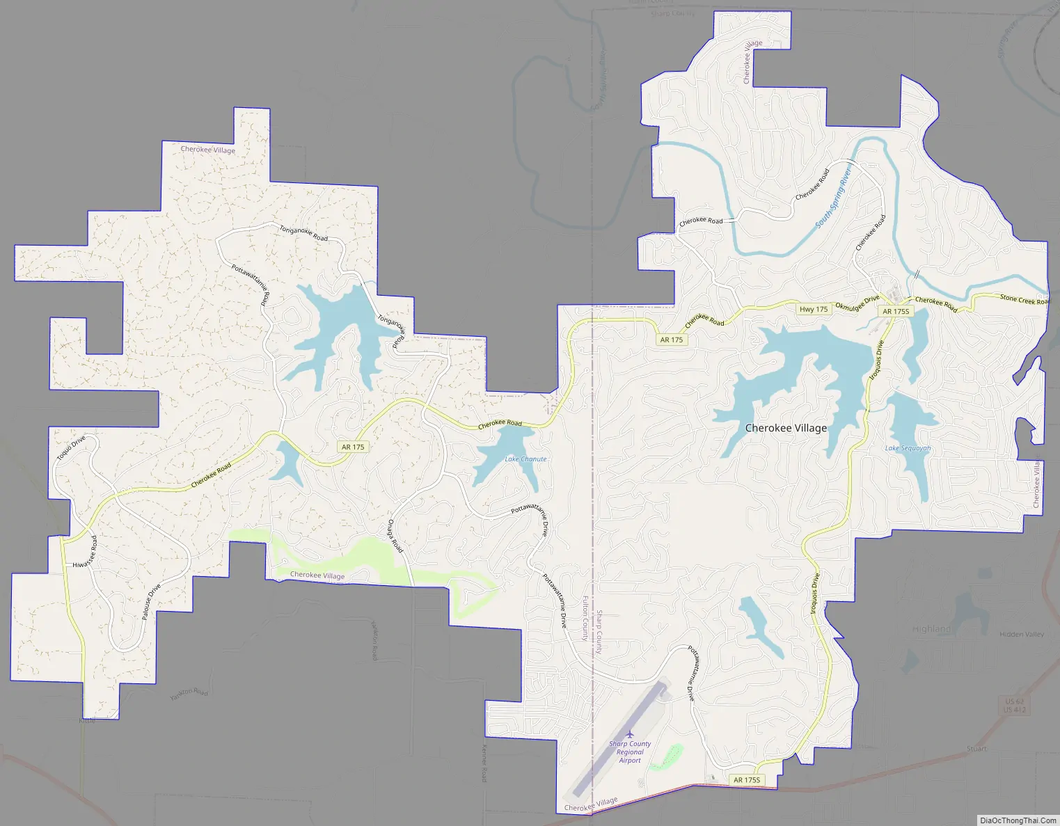
Cherokee Village Road Map
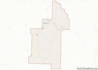
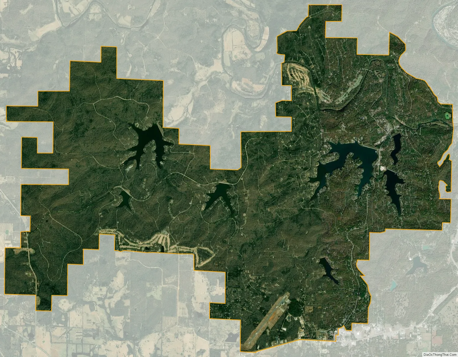
Cherokee Village city Satellite Map
Geography
Cherokee Village is located at 36°17′36″N 91°34′20″W / 36.29333°N 91.57222°W / 36.29333; -91.57222 (36.293289, -91.572336).
According to the United States Census Bureau, the city has a total area of 20.8 square miles (54 km), of which 19.9 square miles (52 km) is land and 0.9 square miles (2.3 km) (4.19%) is water.
The city limits include seven lakes and two marinas. The largest is Lake Thunderbird with over seven miles of shoreline. The area has become popular with vacation home owners and with those who want to rent a property for a week or two.
See also
Map of Arkansas State and its subdivision:- Arkansas
- Ashley
- Baxter
- Benton
- Boone
- Bradley
- Calhoun
- Carroll
- Chicot
- Clark
- Clay
- Cleburne
- Cleveland
- Columbia
- Conway
- Craighead
- Crawford
- Crittenden
- Cross
- Dallas
- Desha
- Drew
- Faulkner
- Franklin
- Fulton
- Garland
- Grant
- Greene
- Hempstead
- Hot Spring
- Howard
- Independence
- Izard
- Jackson
- Jefferson
- Johnson
- Lafayette
- Lawrence
- Lee
- Lincoln
- Little River
- Logan
- Lonoke
- Madison
- Marion
- Miller
- Mississippi
- Monroe
- Montgomery
- Nevada
- Newton
- Ouachita
- Perry
- Phillips
- Pike
- Poinsett
- Polk
- Pope
- Prairie
- Pulaski
- Randolph
- Saint Francis
- Saline
- Scott
- Searcy
- Sebastian
- Sevier
- Sharp
- Stone
- Union
- Van Buren
- Washington
- White
- Woodruff
- Yell
- Alabama
- Alaska
- Arizona
- Arkansas
- California
- Colorado
- Connecticut
- Delaware
- District of Columbia
- Florida
- Georgia
- Hawaii
- Idaho
- Illinois
- Indiana
- Iowa
- Kansas
- Kentucky
- Louisiana
- Maine
- Maryland
- Massachusetts
- Michigan
- Minnesota
- Mississippi
- Missouri
- Montana
- Nebraska
- Nevada
- New Hampshire
- New Jersey
- New Mexico
- New York
- North Carolina
- North Dakota
- Ohio
- Oklahoma
- Oregon
- Pennsylvania
- Rhode Island
- South Carolina
- South Dakota
- Tennessee
- Texas
- Utah
- Vermont
- Virginia
- Washington
- West Virginia
- Wisconsin
- Wyoming