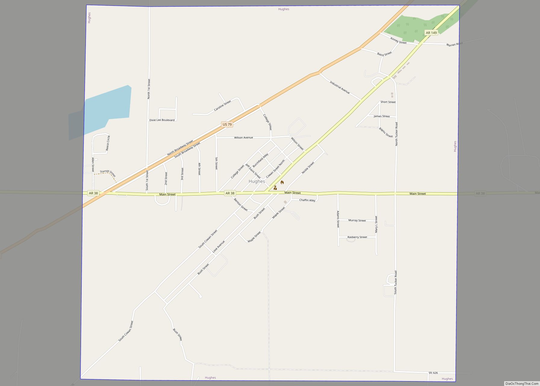
Map of Hoxie city, Arkansas
Hoxie is a city in Lawrence County, Arkansas, United States. It lies immediately south of Walnut Ridge. The population was 2,780 at the 2010 census. Hoxie city overview: Name: Hoxie city LSAD Code: 25 LSAD Description: city (suffix) State: Arkansas County: Lawrence County Elevation: 266 ft (81 m) Total Area: 6.67 sq mi (17.26 km²) Land Area: 6.67 sq mi (17.26 km²) Water ... Read more
Map of Hoxie city, Arkansas
Map of Houston town, Arkansas
Houston is a town in Perry County, Arkansas, United States. The population was 143 at the 2020 census. It is part of the Little Rock–North Little Rock–Conway Metropolitan Statistical Area. Houston town overview: Name: Houston town LSAD Code: 43 LSAD Description: town (suffix) State: Arkansas County: Perry County Elevation: 295 ft (90 m) Total Area: 1.01 sq mi (2.62 km²) ... Read more
Map of Houston town, Arkansas
Map of Hunter town, Arkansas
Hunter is a town in southeast Woodruff County, Arkansas, United States. The population was 152 at the 2000 census. Gilbert G. Collier, awarded the Medal of Honor for his action in the Korean War, was born in Hunter. Hunter town overview: Name: Hunter town LSAD Code: 43 LSAD Description: town (suffix) State: Arkansas County: Woodruff ... Read more
Map of Hunter town, Arkansas
Map of Humphrey city, Arkansas
Humphrey is a city in Arkansas and Jefferson counties in the U.S. state of Arkansas. Its population was 557 at the 2010 census. It is included in the Pine Bluff Metropolitan Statistical Area. Humphrey city overview: Name: Humphrey city LSAD Code: 25 LSAD Description: city (suffix) State: Arkansas County: Arkansas County, Jefferson County Elevation: 190 ft ... Read more
Map of Humphrey city, Arkansas
Map of Humnoke city
Humnoke is a city in Lonoke County, Arkansas, United States. The population was 284 at the 2010 census. It is part of the Little Rock–North Little Rock–Conway Metropolitan Statistical Area. Humnoke city overview: Name: Humnoke city LSAD Code: 25 LSAD Description: city (suffix) State: Arkansas County: Lonoke County Elevation: 197 ft (60 m) Total Area: 0.31 sq mi (0.81 km²) ... Read more
Map of Humnoke city
Map of Huttig city
Huttig is a city in Union County, Arkansas, United States. The population was 597 at the 2010 census. Huttig city overview: Name: Huttig city LSAD Code: 25 LSAD Description: city (suffix) State: Arkansas County: Union County Elevation: 102 ft (31 m) Total Area: 3.08 sq mi (7.98 km²) Land Area: 2.98 sq mi (7.72 km²) Water Area: 0.10 sq mi (0.26 km²) Total Population: 448 Population ... Read more
Map of Huttig city
Map of Huntsville city, Arkansas
Huntsville is a city in and county seat of Madison County, Arkansas, United States. The population was 2,879 at the 2020 census, up from 2,346 in 2010. During the American Civil War in 1862, it was the site of what became known as the Huntsville Massacre. Huntsville is part of the Northwest Arkansas region. Huntsville ... Read more
Map of Huntsville city, Arkansas
Map of Huntington city, Arkansas
Huntington is a city in Sebastian County, Arkansas, United States. It is part of the Fort Smith, Arkansas–Oklahoma Metropolitan Statistical Area. As of the 2010 Census the population was 635. Huntington city overview: Name: Huntington city LSAD Code: 25 LSAD Description: city (suffix) State: Arkansas County: Sebastian County Elevation: 636 ft (194 m) Total Area: 0.68 sq mi (1.75 km²) ... Read more
Map of Huntington city, Arkansas
Map of Jacksonville city, Arkansas
Jacksonville is a city in Pulaski County, Arkansas, United States, and a suburb of Little Rock. As of the 2010 census, the population of the city was 28,364. It is part of the Little Rock–North Little Rock–Conway Metropolitan Statistical Area with 729,135 people as of 2014. The city is named for Nicholas Jackson, a landowner ... Read more
Map of Jacksonville city, Arkansas
Map of Jacksonport town
Jacksonport is a town in Jackson County, Arkansas, United States, along the White River at its confluence with the Black River. The population was 212 at the 2010 census. Jacksonport town overview: Name: Jacksonport town LSAD Code: 43 LSAD Description: town (suffix) State: Arkansas County: Jackson County Elevation: 223 ft (68 m) Total Area: 0.38 sq mi (0.97 km²) Land ... Read more
Map of Jacksonport town
Map of Imboden town
Imboden is a city in Lawrence County, Arkansas, United States. The population was 677 at the 2010 census. It is named after a family of settlers. Imboden town overview: Name: Imboden town LSAD Code: 43 LSAD Description: town (suffix) State: Arkansas County: Lawrence County Elevation: 315 ft (96 m) Total Area: 1.27 sq mi (3.30 km²) Land Area: 1.27 sq mi (3.30 km²) ... Read more
Map of Imboden town
Map of Jennette town
Jennette is a town in Crittenden and St. Francis counties, Arkansas, United States. The population was 118 at the 2020 census. Jennette town overview: Name: Jennette town LSAD Code: 43 LSAD Description: town (suffix) State: Arkansas County: Crittenden County, St. Francis County Elevation: 207 ft (63 m) Total Area: 2.27 sq mi (5.88 km²) Land Area: 2.27 sq mi (5.87 km²) Water Area: ... Read more
Map of Jennette town