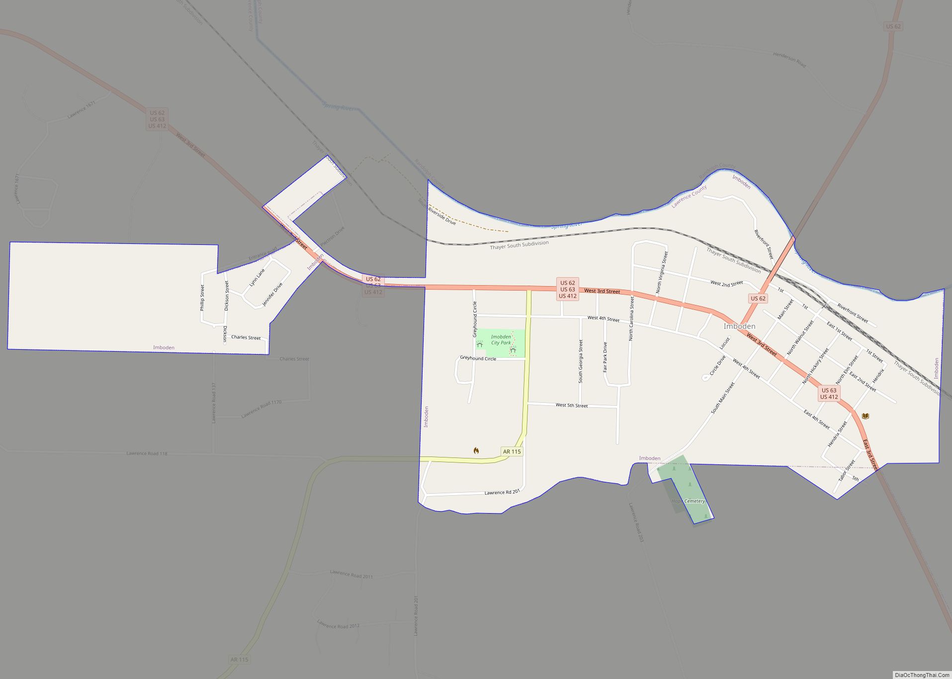
Imboden is a city in Lawrence County, Arkansas, United States. The population was 677 at the 2010 census. It is named after a family of settlers.
| Name: | Imboden town |
|---|---|
| LSAD Code: | 43 |
| LSAD Description: | town (suffix) |
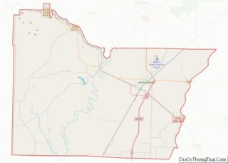
| State: | Arkansas |
| County: | Lawrence County |
| Elevation: | 315 ft (96 m) |
| Total Area: | 1.27 sq mi (3.30 km²) |
| Land Area: | 1.27 sq mi (3.30 km²) |
| Water Area: | 0.00 sq mi (0.00 km²) |
| Total Population: | 640 |
| Population Density: | 502.75/sq mi (194.16/km²) |
| ZIP code: | 72434 |
| Area code: | 870 |
| FIPS code: | 0534150 |
| GNISfeature ID: | 0057965 |
| Website: | www.imbodenarkansas.com |
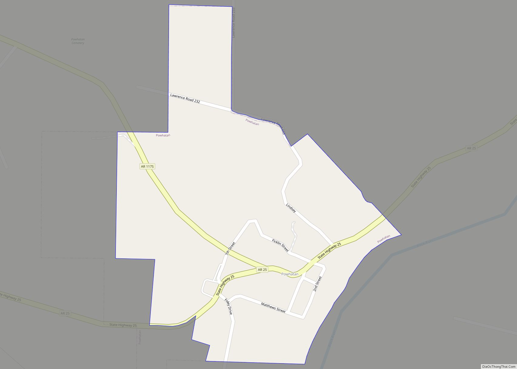
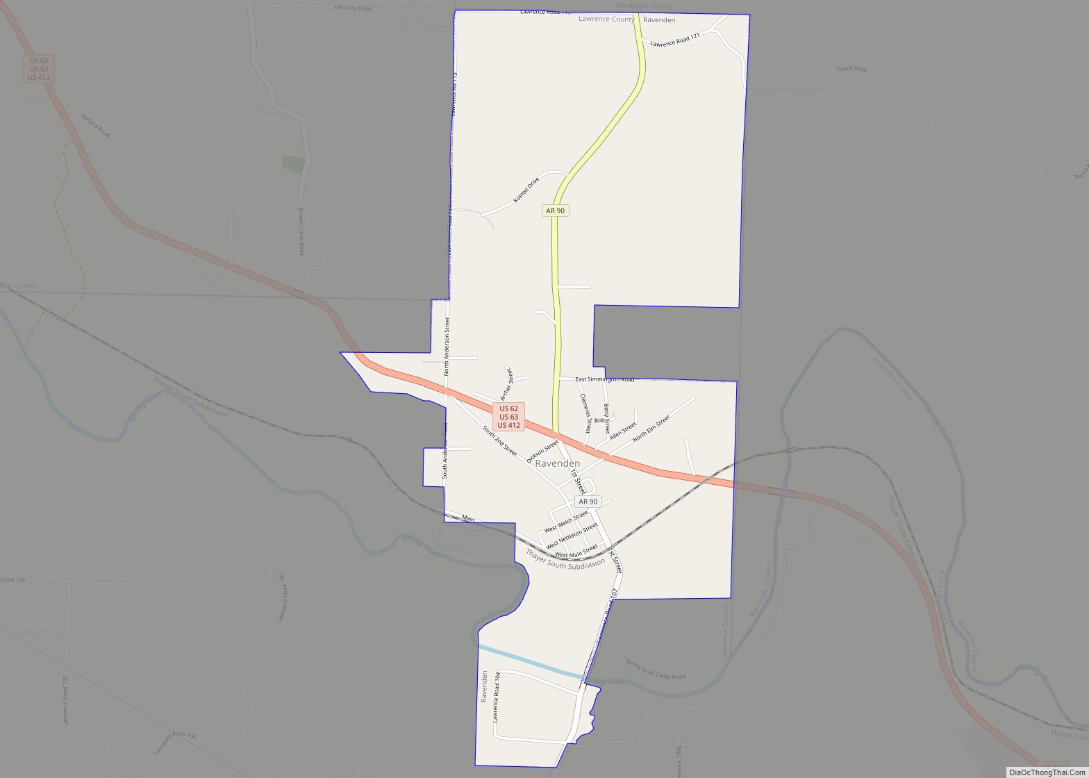
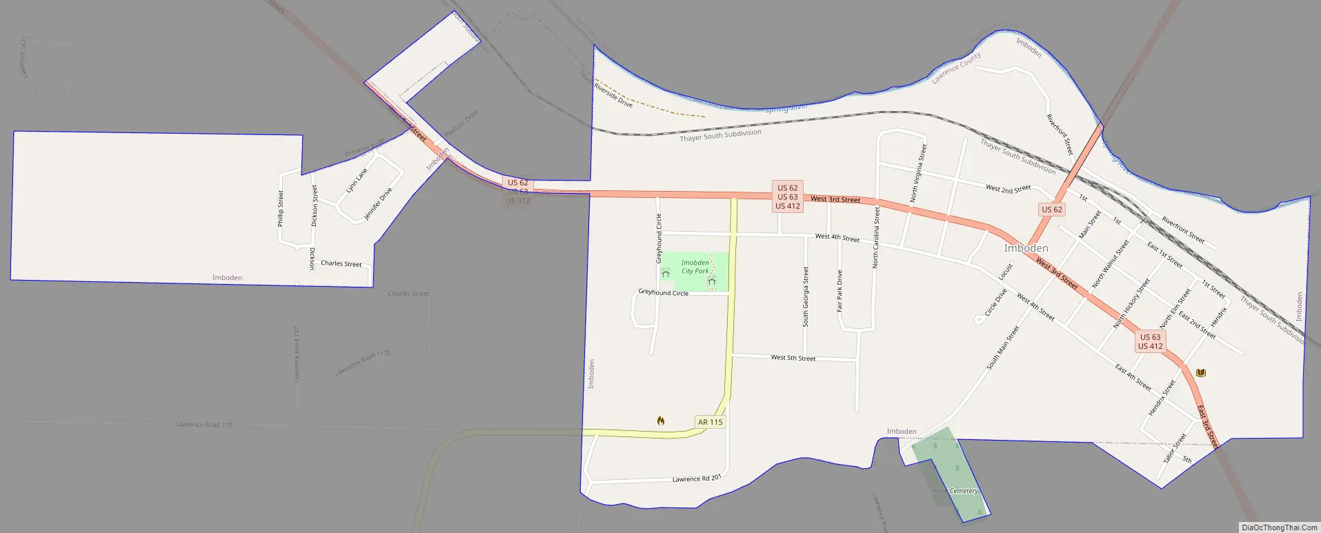
Online Interactive Map
Click on ![]() to view map in "full screen" mode.
to view map in "full screen" mode.
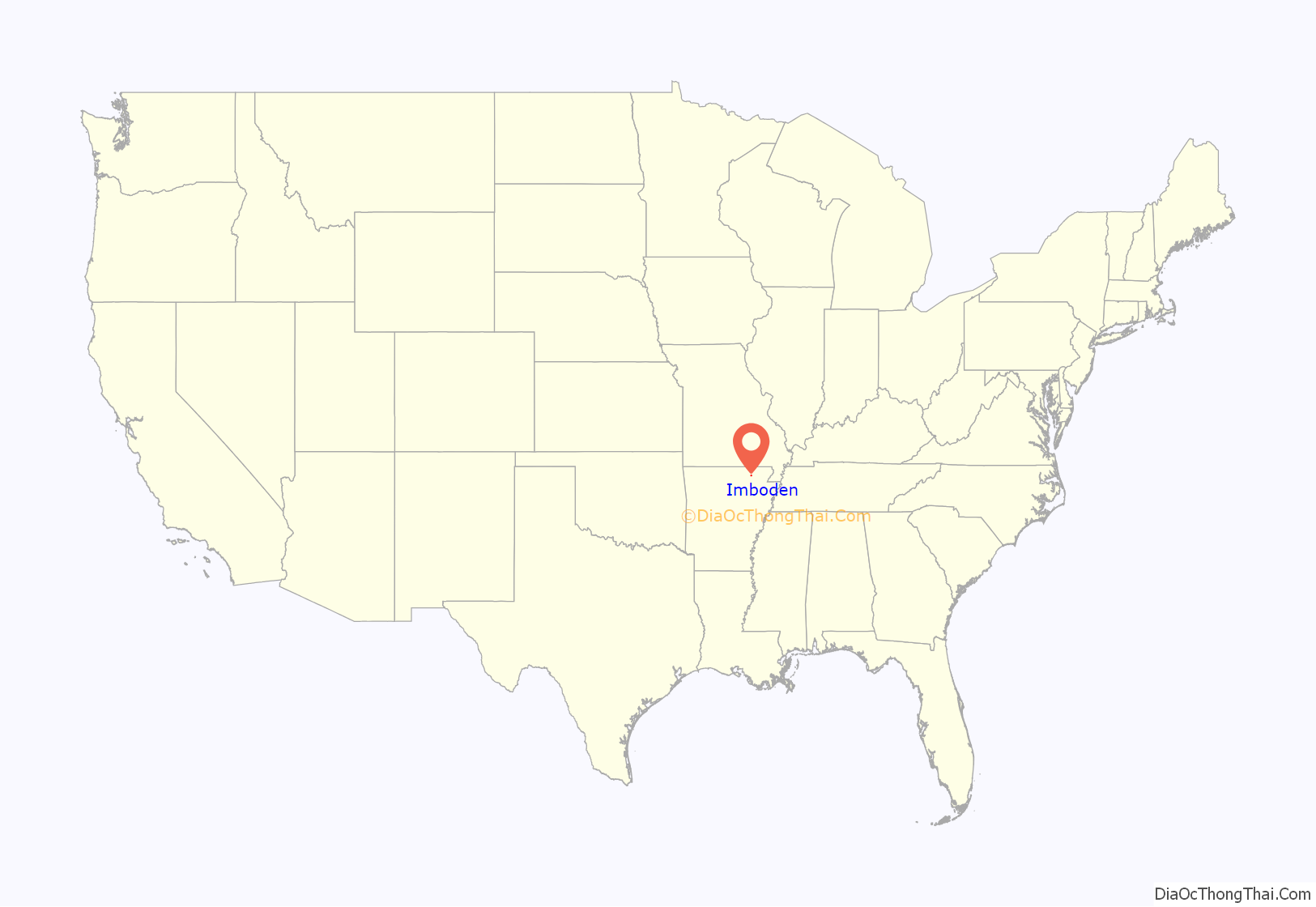
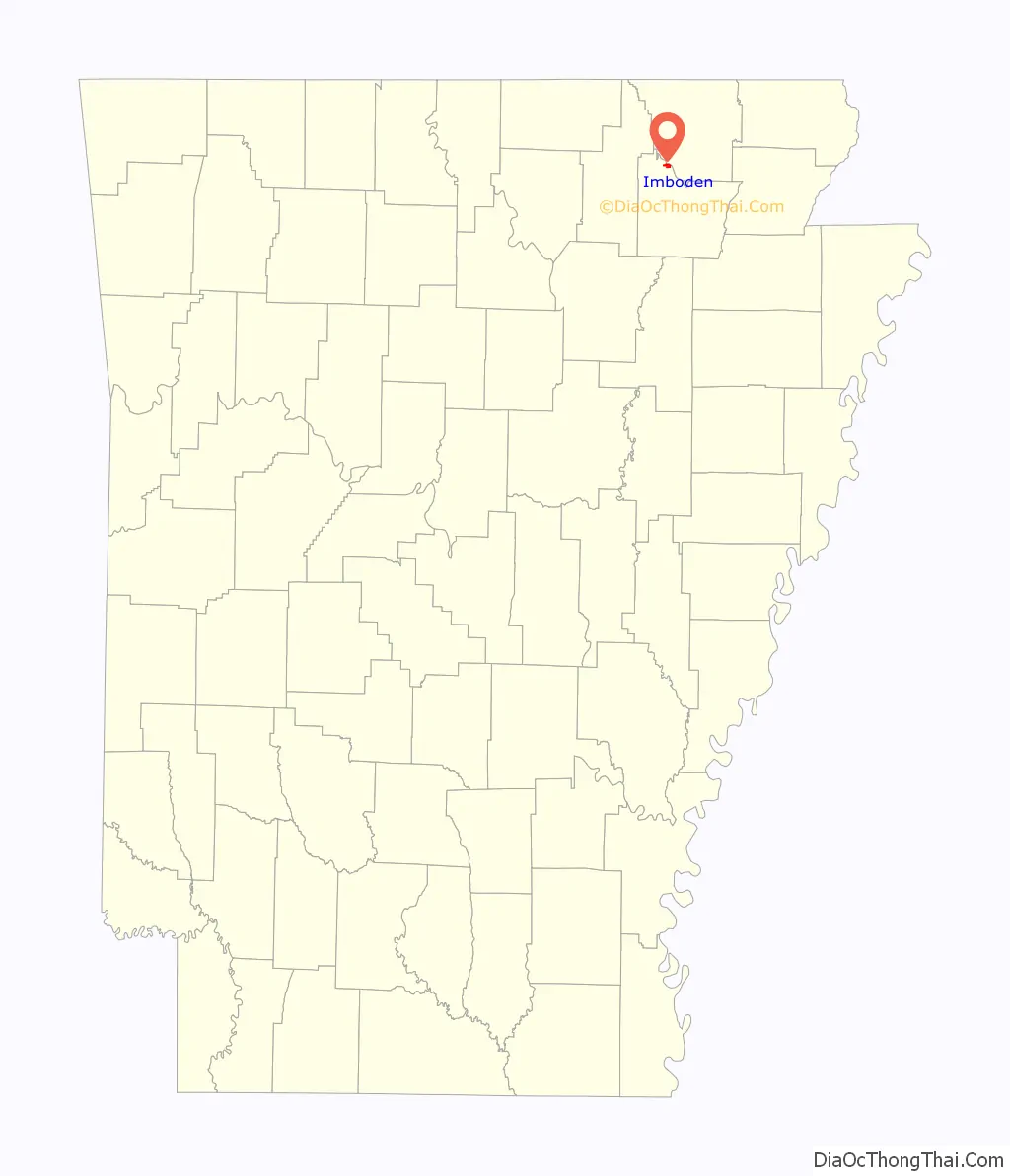
Imboden location map. Where is Imboden town?
History
The community was first settled around 1828 and was incorporated in 1887.
In 1912, Imboden elected Joe Sullivan as the youngest elected mayor in the United States of that period. He was 21 years old and paralyzed, so relied on a goat-driven cart. He left the town in 1914 to pursue further education.
Imboden has two public schools. Sloan-Hendrix School was established in 1899 as Sloan-Hendrix Academy, a private school affiliated with Hendrix College in Conway. It later became a public school. Imboden Area Charter School, an open-enrollment public charter school, opened in 2002.
Imboden Road Map
Imboden city Satellite Map

Geography
Imboden is located in northwestern Lawrence County at 36°12′6″N 91°10′48″W / 36.20167°N 91.18000°W / 36.20167; -91.18000 (36.201766, -91.179899). It is on the south side of the Spring River, a southeast-flowing tributary of the Black River. In October 2008 a modern boat launch was opened with a 20-by-210-foot (6.1 by 64.0 m) parking area. To the north of Imboden, across the Spring River, is Randolph County.
According to the United States Census Bureau, the town has a total area of 0.97 square miles (2.5 km), all land.
See also
Map of Arkansas State and its subdivision:- Arkansas
- Ashley
- Baxter
- Benton
- Boone
- Bradley
- Calhoun
- Carroll
- Chicot
- Clark
- Clay
- Cleburne
- Cleveland
- Columbia
- Conway
- Craighead
- Crawford
- Crittenden
- Cross
- Dallas
- Desha
- Drew
- Faulkner
- Franklin
- Fulton
- Garland
- Grant
- Greene
- Hempstead
- Hot Spring
- Howard
- Independence
- Izard
- Jackson
- Jefferson
- Johnson
- Lafayette
- Lawrence
- Lee
- Lincoln
- Little River
- Logan
- Lonoke
- Madison
- Marion
- Miller
- Mississippi
- Monroe
- Montgomery
- Nevada
- Newton
- Ouachita
- Perry
- Phillips
- Pike
- Poinsett
- Polk
- Pope
- Prairie
- Pulaski
- Randolph
- Saint Francis
- Saline
- Scott
- Searcy
- Sebastian
- Sevier
- Sharp
- Stone
- Union
- Van Buren
- Washington
- White
- Woodruff
- Yell
- Alabama
- Alaska
- Arizona
- Arkansas
- California
- Colorado
- Connecticut
- Delaware
- District of Columbia
- Florida
- Georgia
- Hawaii
- Idaho
- Illinois
- Indiana
- Iowa
- Kansas
- Kentucky
- Louisiana
- Maine
- Maryland
- Massachusetts
- Michigan
- Minnesota
- Mississippi
- Missouri
- Montana
- Nebraska
- Nevada
- New Hampshire
- New Jersey
- New Mexico
- New York
- North Carolina
- North Dakota
- Ohio
- Oklahoma
- Oregon
- Pennsylvania
- Rhode Island
- South Carolina
- South Dakota
- Tennessee
- Texas
- Utah
- Vermont
- Virginia
- Washington
- West Virginia
- Wisconsin
- Wyoming