Huntsville is a city in and county seat of Madison County, Arkansas, United States. The population was 2,879 at the 2020 census, up from 2,346 in 2010. During the American Civil War in 1862, it was the site of what became known as the Huntsville Massacre. Huntsville is part of the Northwest Arkansas region.
| Name: | Huntsville city |
|---|---|
| LSAD Code: | 25 |
| LSAD Description: | city (suffix) |
| State: | Arkansas |
| County: | Madison County |
| Elevation: | 1,486 ft (453 m) |
| Total Area: | 5.40 sq mi (13.98 km²) |
| Land Area: | 5.38 sq mi (13.94 km²) |
| Water Area: | 0.02 sq mi (0.05 km²) |
| Total Population: | 2,879 |
| Population Density: | 534.93/sq mi (206.55/km²) |
| ZIP code: | 72740 |
| Area code: | 479 |
| FIPS code: | 0533970 |
| GNISfeature ID: | 2404747 |
| Website: | www.huntsvillearkansas.org |
Online Interactive Map
Click on ![]() to view map in "full screen" mode.
to view map in "full screen" mode.
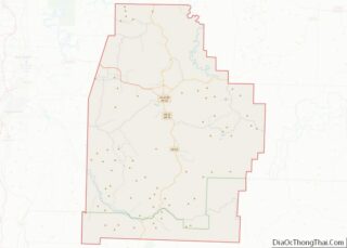
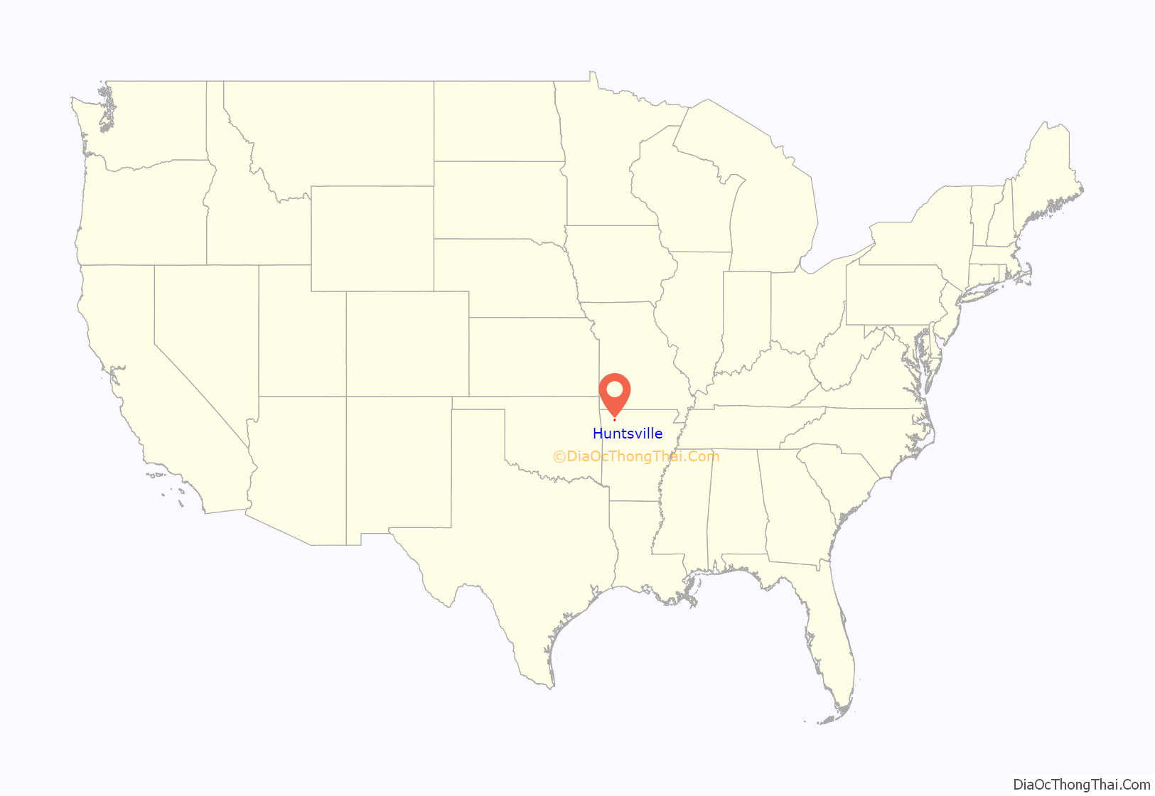
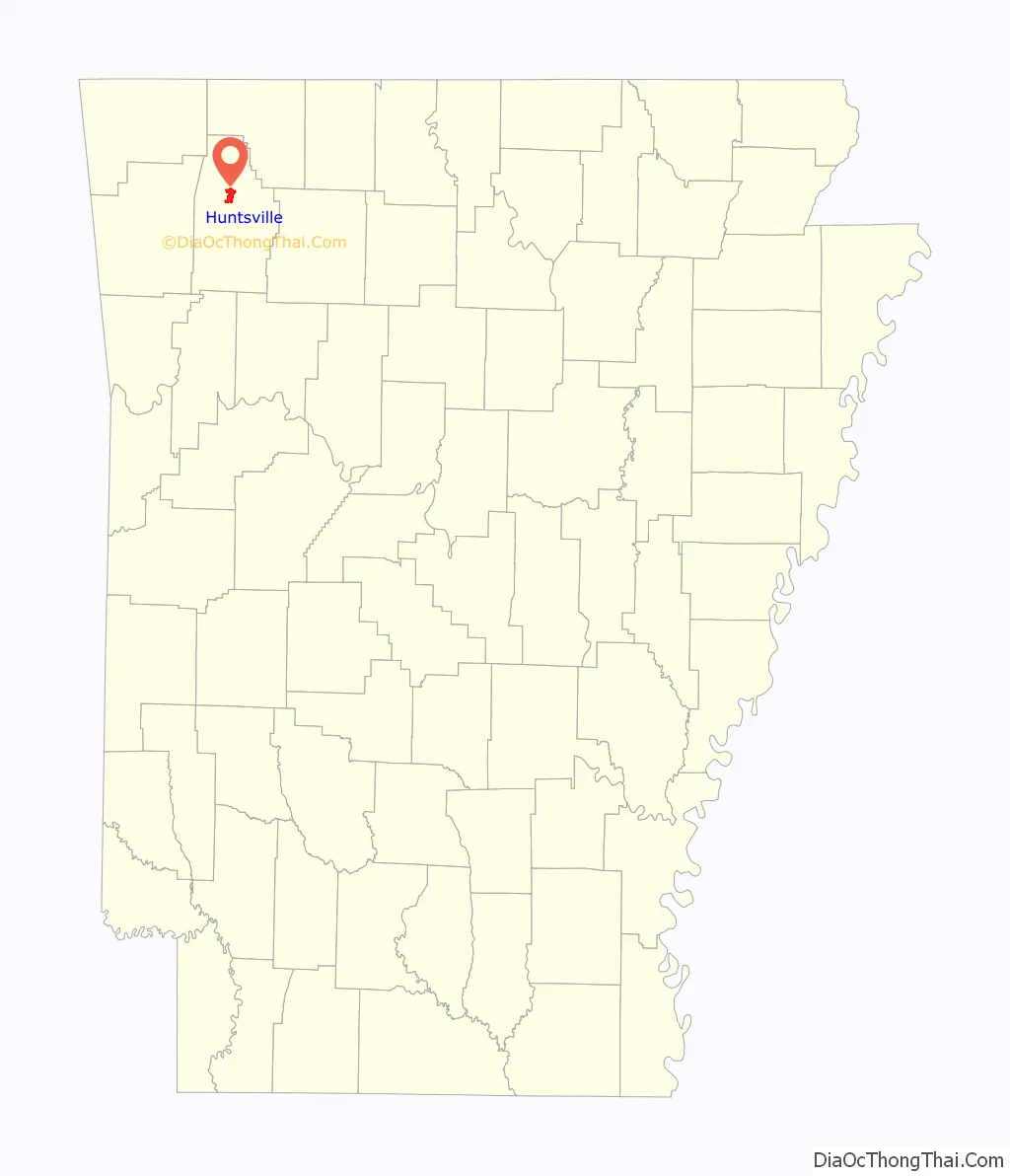
Huntsville location map. Where is Huntsville city?
History
The city is named after Huntsville, Alabama, the hometown of some early settlers. Huntsville incorporated as a town after the Civil War in 1877. The community was incorporated as a city on July 16, 1925.
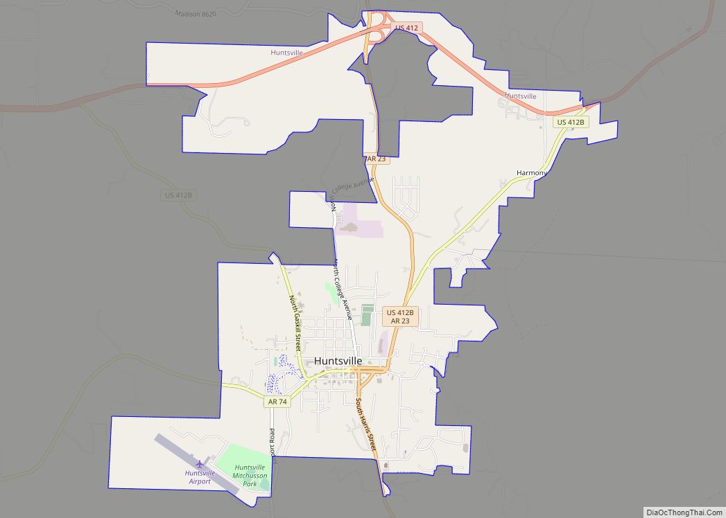
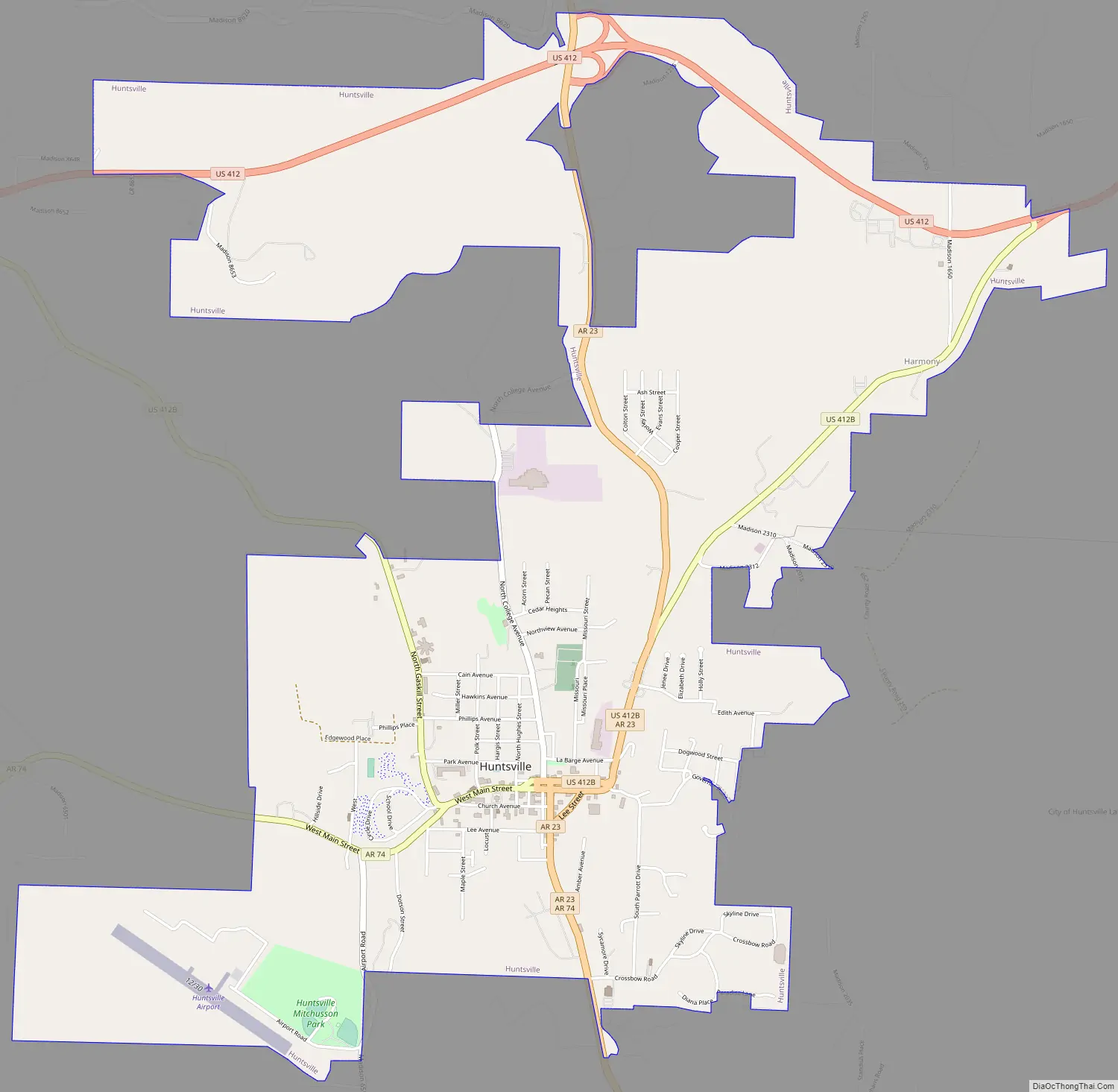
Huntsville Road Map
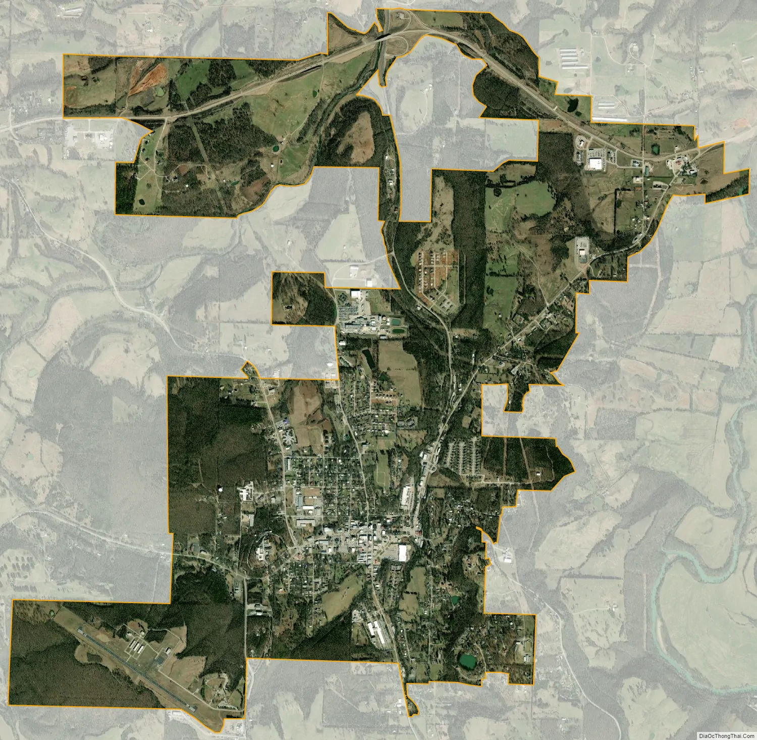
Huntsville city Satellite Map
Geography
Huntsville is located north of the center of Madison County in the northwest part of the Arkansas Ozarks. Via U.S. Route 412 it is 28 miles (45 km) east of Springdale and 47 miles (76 km) west of Harrison.
According to the United States Census Bureau, the city has a total area of 5.4 square miles (14 km), of which 0.02 square miles (0.05 km), or 0.33%, are water. Town Branch flows northward through the east side of the city, ending at Holman Creek in the northern part of the city. Holman Creek flows north into War Eagle Creek, which continues northwest to the White River east of Springdale.
See also
Map of Arkansas State and its subdivision:- Arkansas
- Ashley
- Baxter
- Benton
- Boone
- Bradley
- Calhoun
- Carroll
- Chicot
- Clark
- Clay
- Cleburne
- Cleveland
- Columbia
- Conway
- Craighead
- Crawford
- Crittenden
- Cross
- Dallas
- Desha
- Drew
- Faulkner
- Franklin
- Fulton
- Garland
- Grant
- Greene
- Hempstead
- Hot Spring
- Howard
- Independence
- Izard
- Jackson
- Jefferson
- Johnson
- Lafayette
- Lawrence
- Lee
- Lincoln
- Little River
- Logan
- Lonoke
- Madison
- Marion
- Miller
- Mississippi
- Monroe
- Montgomery
- Nevada
- Newton
- Ouachita
- Perry
- Phillips
- Pike
- Poinsett
- Polk
- Pope
- Prairie
- Pulaski
- Randolph
- Saint Francis
- Saline
- Scott
- Searcy
- Sebastian
- Sevier
- Sharp
- Stone
- Union
- Van Buren
- Washington
- White
- Woodruff
- Yell
- Alabama
- Alaska
- Arizona
- Arkansas
- California
- Colorado
- Connecticut
- Delaware
- District of Columbia
- Florida
- Georgia
- Hawaii
- Idaho
- Illinois
- Indiana
- Iowa
- Kansas
- Kentucky
- Louisiana
- Maine
- Maryland
- Massachusetts
- Michigan
- Minnesota
- Mississippi
- Missouri
- Montana
- Nebraska
- Nevada
- New Hampshire
- New Jersey
- New Mexico
- New York
- North Carolina
- North Dakota
- Ohio
- Oklahoma
- Oregon
- Pennsylvania
- Rhode Island
- South Carolina
- South Dakota
- Tennessee
- Texas
- Utah
- Vermont
- Virginia
- Washington
- West Virginia
- Wisconsin
- Wyoming