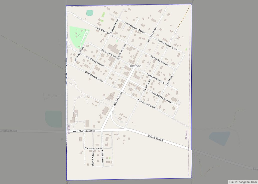
Binford is a city in Griggs County, North Dakota, United States. The population was 170 at the 2020 census. Binford was founded in 1899. Binford city overview: Name: Binford city LSAD Code: 25 LSAD Description: city (suffix) State: North Dakota County: Griggs County Founded: 1899 Elevation: 1,526 ft (465 m) Total Area: 0.35 sq mi (0.91 km²) Land Area: 0.35 sq mi ... Read more
Map of US Cities and Places
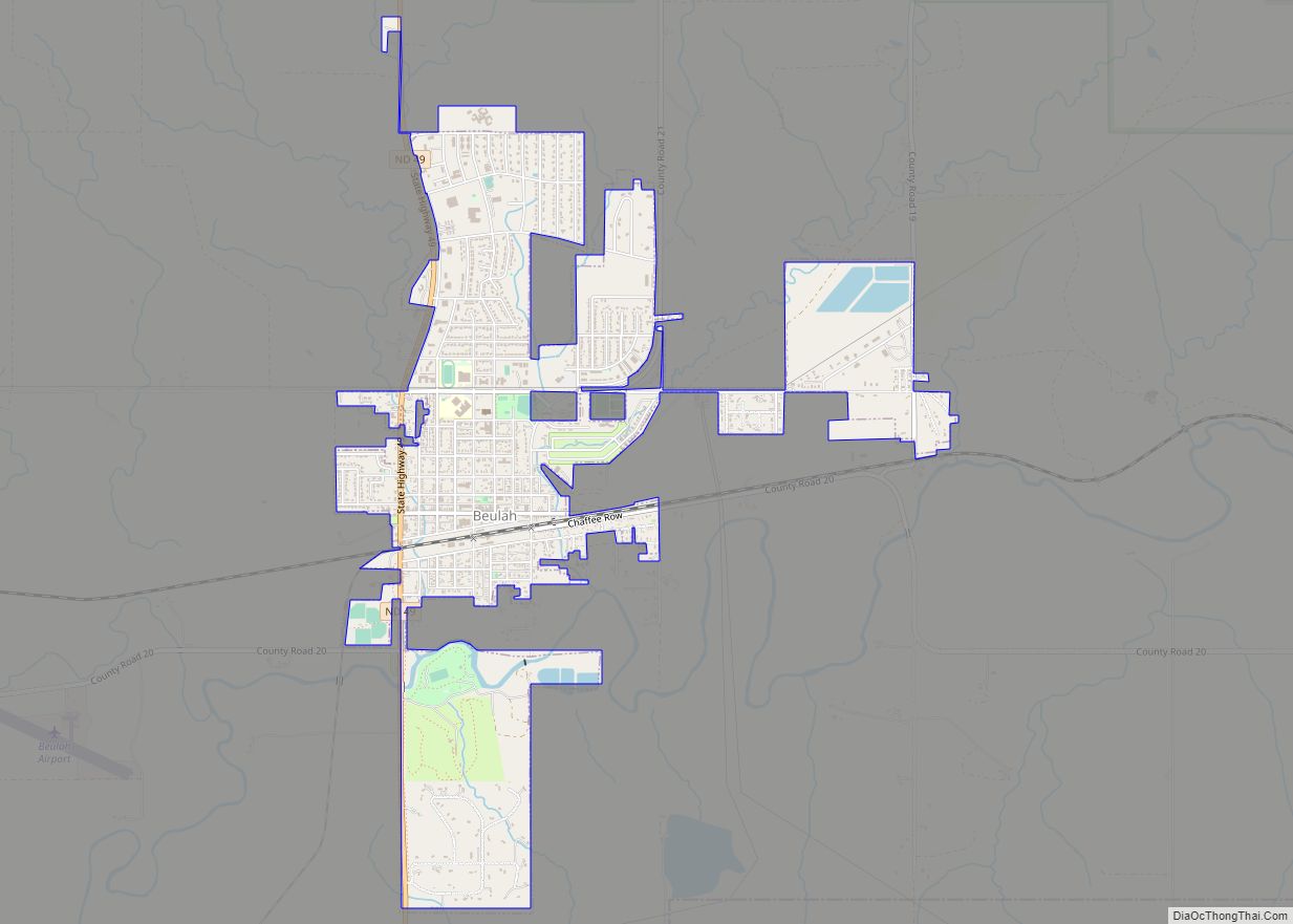
Beulah is a town in Mercer County, North Dakota, United States. The population was 3,058 at the 2020 census. Beulah is home to the Dakota Gasification Company. It is near the largest lignite mine in the United States, owned by North American Coal Corporation. Beulah city overview: Name: Beulah city LSAD Code: 25 LSAD Description: ... Read more
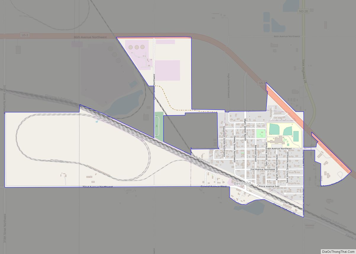
Berthold is a town in Ward County, North Dakota, United States. The population was 490 at the 2020 census. Berthold city overview: Name: Berthold city LSAD Code: 25 LSAD Description: city (suffix) State: North Dakota County: Ward County Founded: 1900 Elevation: 2,090 ft (637 m) Total Area: 1.19 sq mi (3.07 km²) Land Area: 1.19 sq mi (3.07 km²) Water Area: 0.00 sq mi (0.00 km²) ... Read more
Berlin is a city in LaMoure County, North Dakota, United States. The population was 31 at the 2020 census. Berlin was founded in 1887. Berlin city overview: Name: Berlin city LSAD Code: 25 LSAD Description: city (suffix) State: North Dakota County: LaMoure County Founded: 1887 Elevation: 1,467 ft (447 m) Total Area: 0.10 sq mi (0.25 km²) Land Area: 0.10 sq mi ... Read more
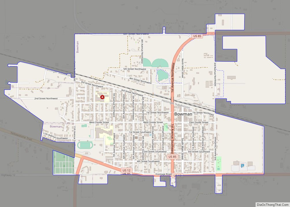
Bowman is a city and county seat of Bowman County, North Dakota, United States. The population was 1,470 at the 2020 census. Bowman city overview: Name: Bowman city LSAD Code: 25 LSAD Description: city (suffix) State: North Dakota County: Bowman County Founded: 1907 Elevation: 2,963 ft (903 m) Total Area: 1.86 sq mi (4.83 km²) Land Area: 1.86 sq mi (4.83 km²) Water ... Read more
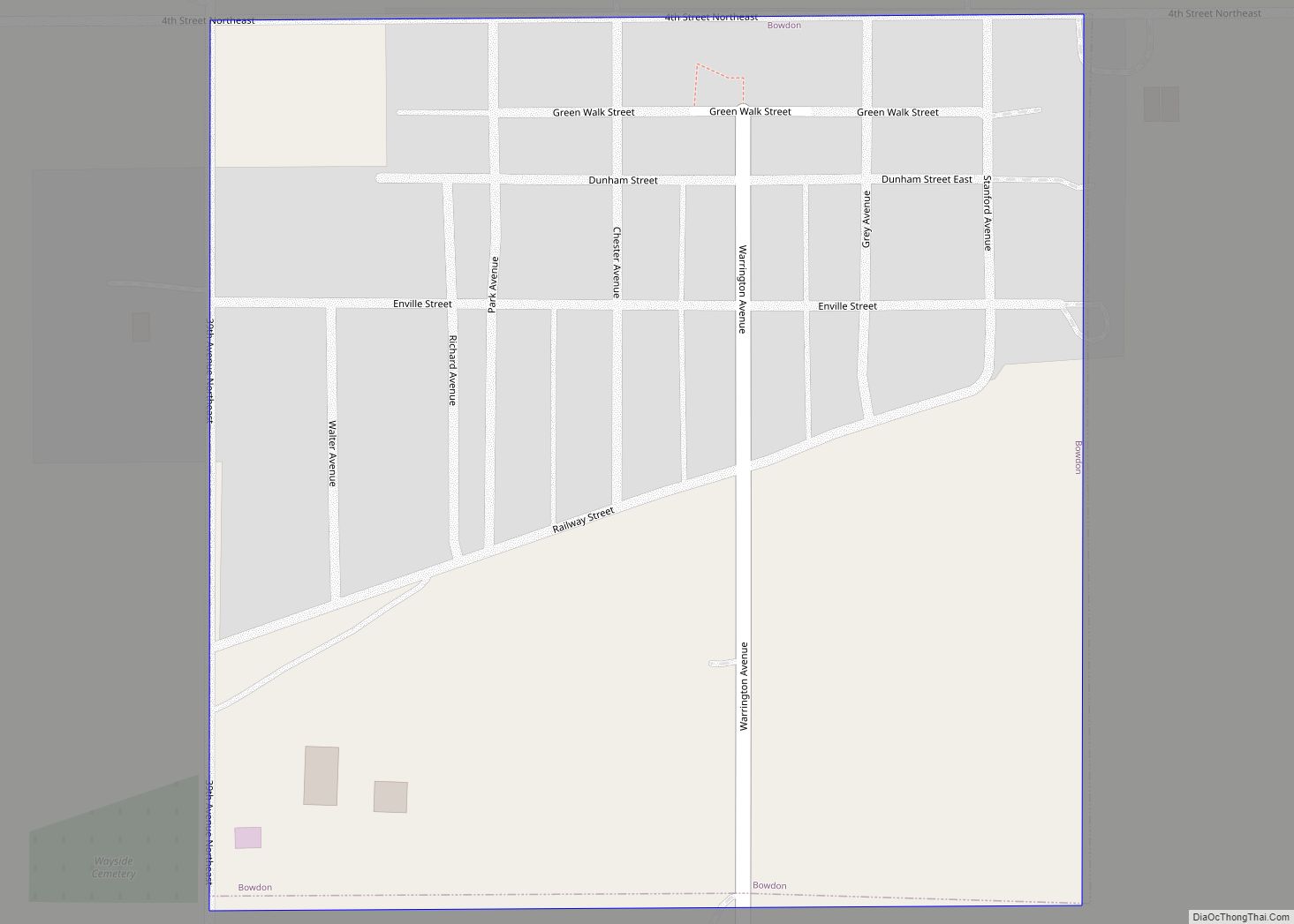
Bowdon is a city in Wells County, North Dakota, United States. The population was 137 at the 2020 census. Bowdon was founded in 1899 by Richard Sykes, a landowner from England who named it after Bowdon, near Manchester where he lived. Bowdon city overview: Name: Bowdon city LSAD Code: 25 LSAD Description: city (suffix) State: ... Read more
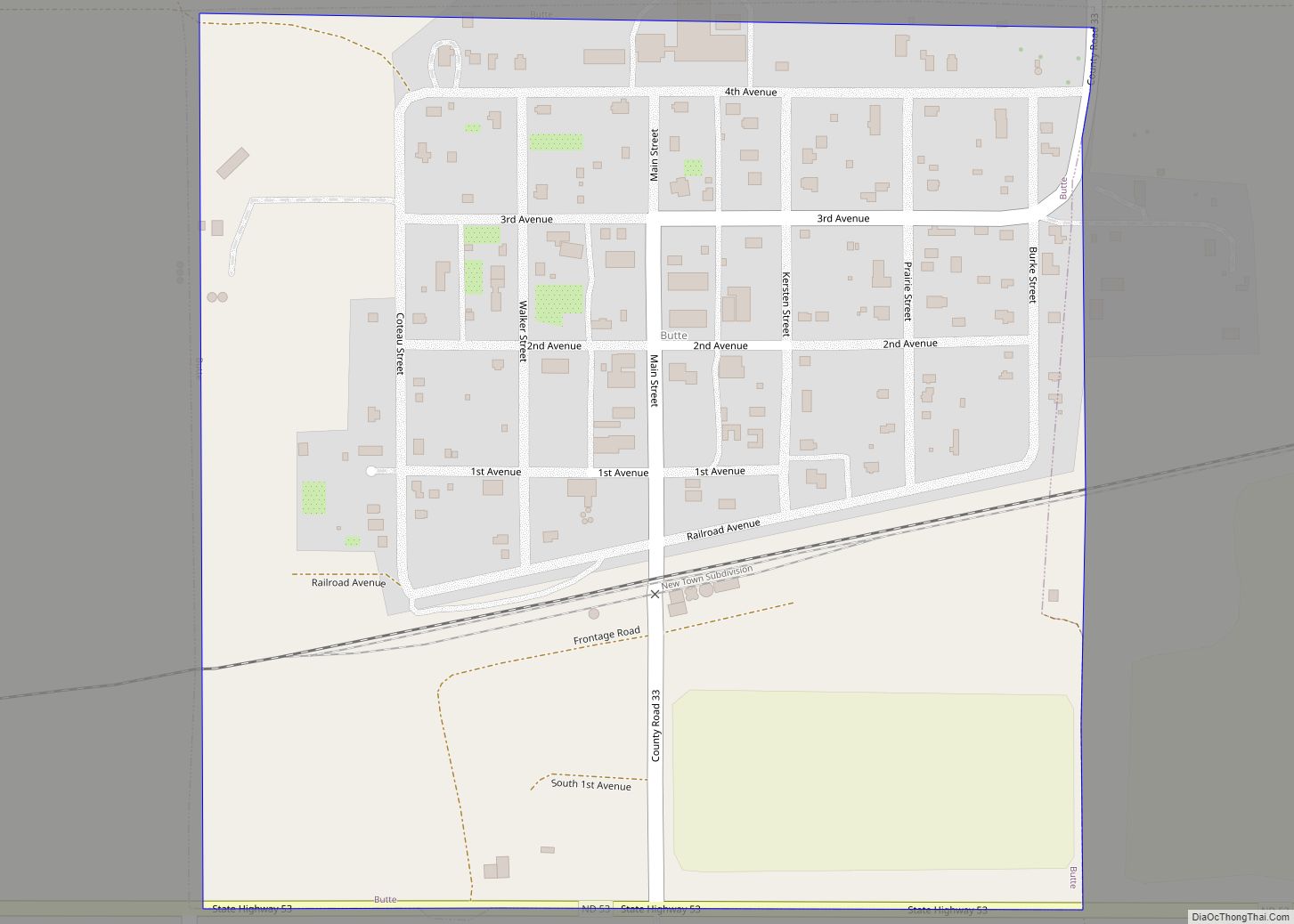
Butte is a city in McLean County, North Dakota, United States. The population was 70 at the 2020 census. Butte was founded in 1906. Butte city overview: Name: Butte city LSAD Code: 25 LSAD Description: city (suffix) State: North Dakota County: McLean County Founded: 1906 Elevation: 1,736 ft (529 m) Total Area: 0.25 sq mi (0.64 km²) Land Area: 0.25 sq mi ... Read more
Burlington is a city in Ward County, North Dakota, United States. It was founded in 1883, the third in a series that included two earlier settlements. Despite this, Burlington is still the oldest city in Ward County, as well as north-western and north central North Dakota. On February 28, 1884, as it was the only ... Read more
Buffalo is a city in Cass County, North Dakota, United States. The population was 195 at the 2020 census. Buffalo was founded in 1878. Buffalo city overview: Name: Buffalo city LSAD Code: 25 LSAD Description: city (suffix) State: North Dakota County: Cass County Elevation: 1,204 ft (367 m) Total Area: 0.48 sq mi (1.25 km²) Land Area: 0.48 sq mi (1.25 km²) Water ... Read more
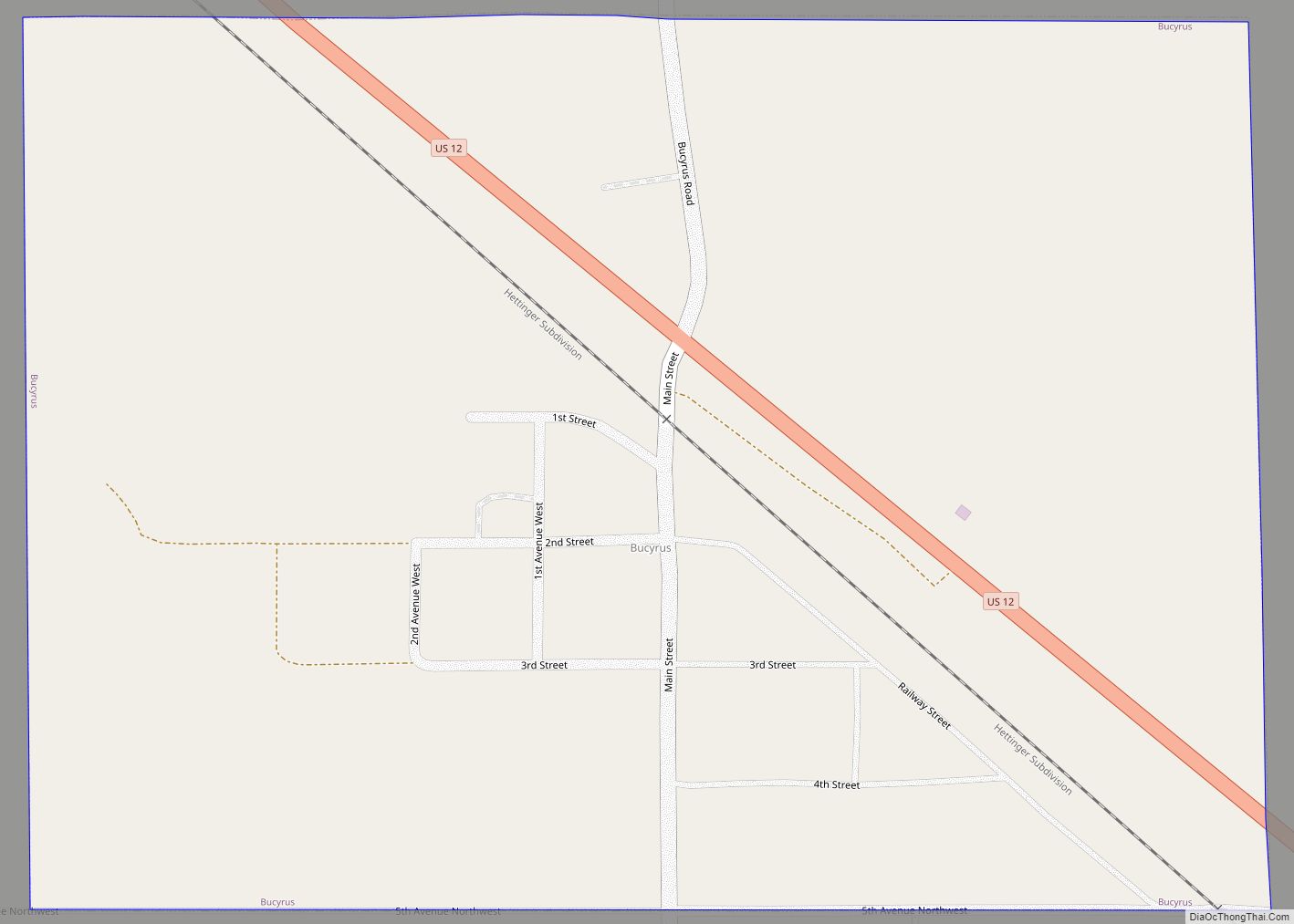
Bucyrus is a city in Adams County, North Dakota, United States. The population was 18 at the 2020 census. The city was founded in 1907 along the Milwaukee Road’s transcontinental rail line known as the Pacific Extension. Before being named Bucyrus in 1908, the city was called first Wolf Butte and then Dolan, which was ... Read more
Buchanan is a city in Stutsman County, North Dakota, United States. The population was 87 at the 2020 census. Buchanan was founded in 1887. Buchanan was once home to Henry Leuhr’s Giant Bull, inspired by the World’s Largest Buffalo in Jamestown, North Dakota, which stood 30 feet (9.1 m) tall and was 50 feet (15 m) long ... Read more
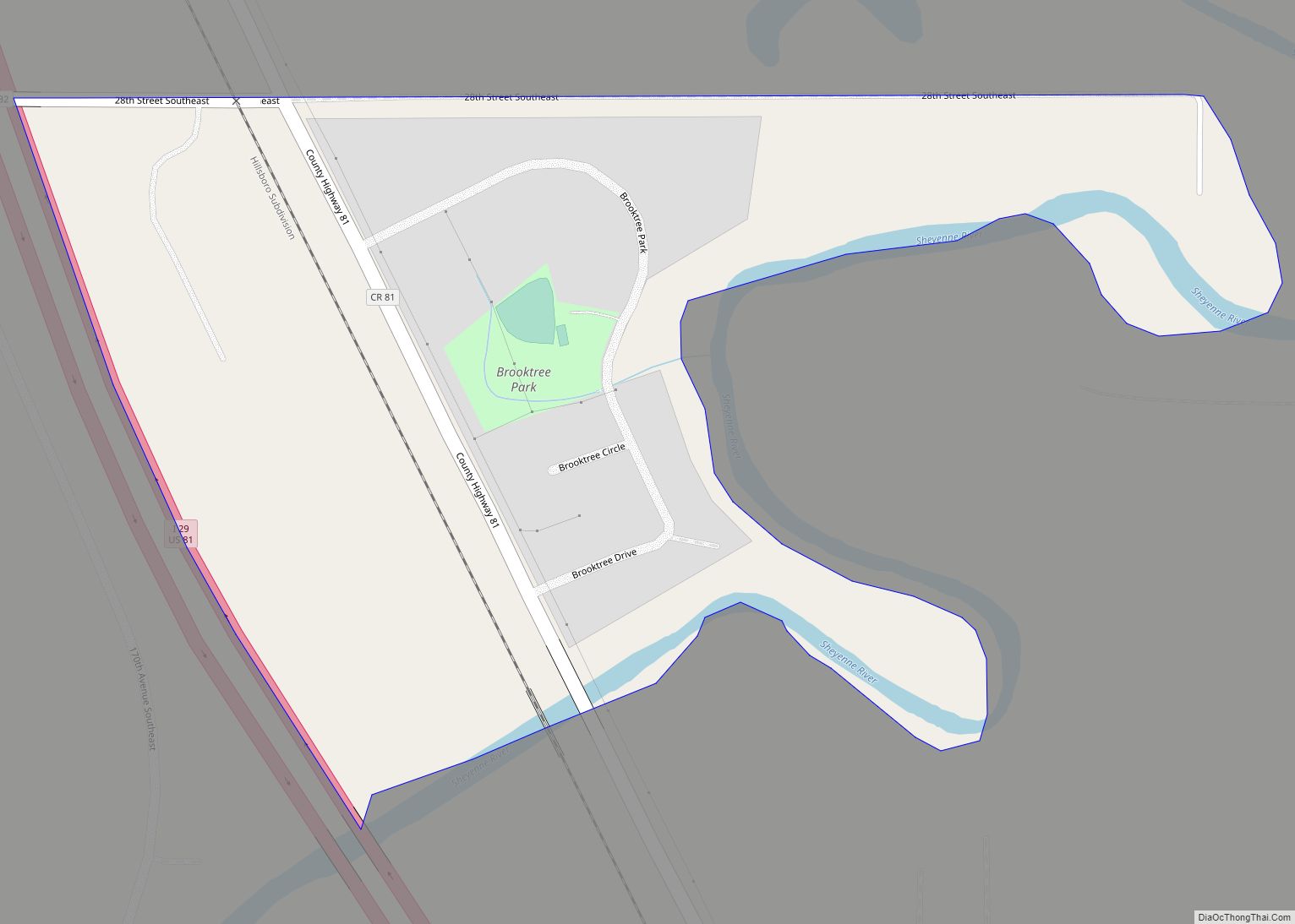
Brooktree Park is a census-designated place and unincorporated community in Cass County, North Dakota, United States. Its population was 80 as of the 2010 census. Brooktree Park CDP overview: Name: Brooktree Park CDP LSAD Code: 57 LSAD Description: CDP (suffix) State: North Dakota County: Cass County Elevation: 889 ft (271 m) Total Area: 0.18 sq mi (0.46 km²) Land Area: ... Read more
