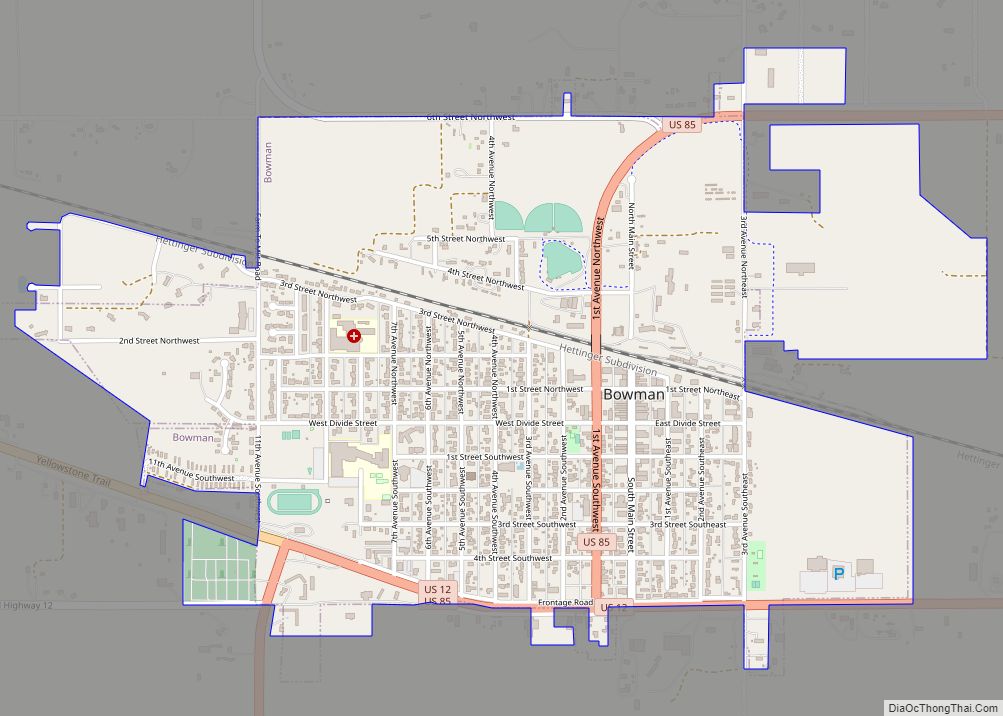
Bowman is a city and county seat of Bowman County, North Dakota, United States. The population was 1,470 at the 2020 census.
| Name: | Bowman city |
|---|---|
| LSAD Code: | 25 |
| LSAD Description: | city (suffix) |
| State: | North Dakota |
| County: | Bowman County |
| Founded: | 1907 |
| Elevation: | 2,963 ft (903 m) |
| Total Area: | 1.86 sq mi (4.83 km²) |
| Land Area: | 1.86 sq mi (4.83 km²) |
| Water Area: | 0.00 sq mi (0.00 km²) |
| Total Population: | 1,470 |
| Population Density: | 788.63/sq mi (304.43/km²) |
| ZIP code: | 58623 |
| Area code: | 701 |
| FIPS code: | 3808700 |
| GNISfeature ID: | 1028099 |
| Website: | bowmannd.com |
Online Interactive Map
Click on ![]() to view map in "full screen" mode.
to view map in "full screen" mode.
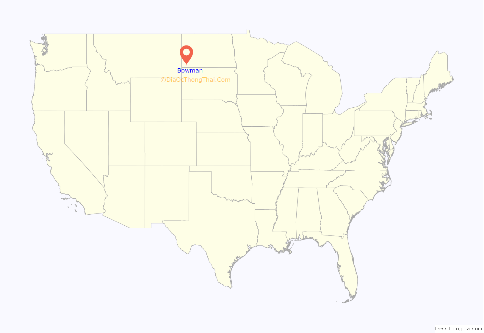
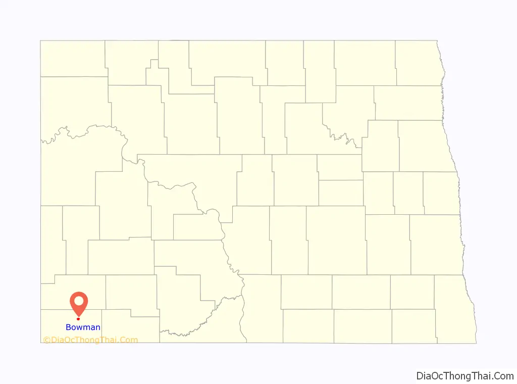
Bowman location map. Where is Bowman city?
History
Bowman was founded in 1907 at about the same time the railroad was extended to that point. The city took its name from Bowman County. A post office has been in operation at Bowman since 1907.
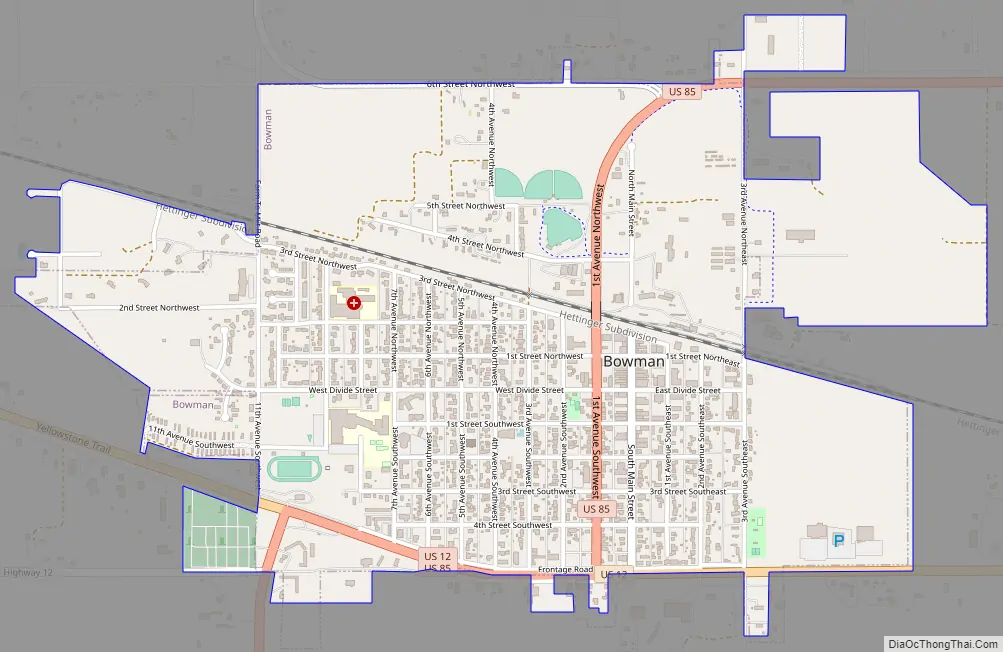
Bowman Road Map
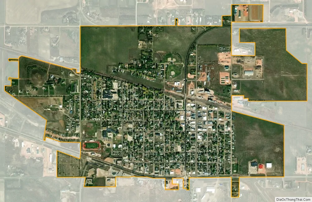
Bowman city Satellite Map
Geography
Bowman is located at 46°10′54″N 103°24′1″W / 46.18167°N 103.40028°W / 46.18167; -103.40028 (46.181791, −103.400211). According to the United States Census Bureau, the city has a total area of 1.53 square miles (3.96 km), all land.
Climate
According to the Köppen Climate Classification system, Bowman has a semi-arid climate, abbreviated BSk on climate maps, although it closely borders the state’s more typical humid continental climate (Dfb).
See also
Map of North Dakota State and its subdivision:- Adams
- Barnes
- Benson
- Billings
- Bottineau
- Bowman
- Burke
- Burleigh
- Cass
- Cavalier
- Dickey
- Divide
- Dunn
- Eddy
- Emmons
- Foster
- Golden Valley
- Grand Forks
- Grant
- Griggs
- Hettinger
- Kidder
- Lamoure
- Logan
- McHenry
- McIntosh
- McKenzie
- McLean
- Mercer
- Morton
- Mountrail
- Nelson
- Oliver
- Pembina
- Pierce
- Ramsey
- Ransom
- Renville
- Richland
- Rolette
- Sargent
- Sheridan
- Sioux
- Slope
- Stark
- Steele
- Stutsman
- Towner
- Traill
- Walsh
- Ward
- Wells
- Williams
- Alabama
- Alaska
- Arizona
- Arkansas
- California
- Colorado
- Connecticut
- Delaware
- District of Columbia
- Florida
- Georgia
- Hawaii
- Idaho
- Illinois
- Indiana
- Iowa
- Kansas
- Kentucky
- Louisiana
- Maine
- Maryland
- Massachusetts
- Michigan
- Minnesota
- Mississippi
- Missouri
- Montana
- Nebraska
- Nevada
- New Hampshire
- New Jersey
- New Mexico
- New York
- North Carolina
- North Dakota
- Ohio
- Oklahoma
- Oregon
- Pennsylvania
- Rhode Island
- South Carolina
- South Dakota
- Tennessee
- Texas
- Utah
- Vermont
- Virginia
- Washington
- West Virginia
- Wisconsin
- Wyoming