Map of San Luis city, Arizona
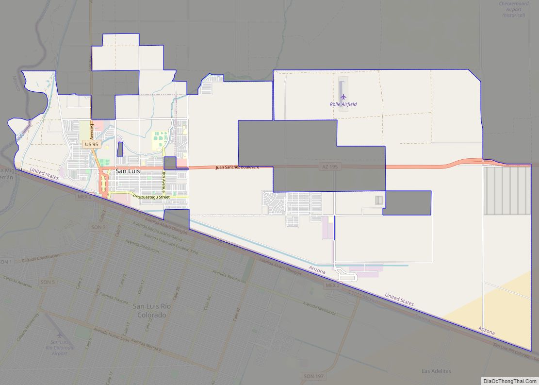
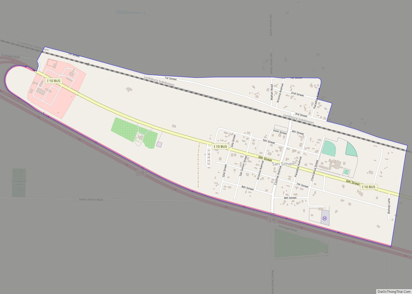
San Luis is a city in Yuma County, Arizona, United States. The population was 25,505 at the 2010 census. It is part of the Yuma Metropolitan Statistical Area. San Luis, located in the southwest corner of the state directly adjacent to Mexico‘s Federal Highway 2 at San Luis Rio Colorado, was the second fastest-growing city ... Read more
Map of San Luis city, Arizona
Map of San Jose CDP, Arizona
San Jose is a census-designated place in Graham County, Arizona, United States. Its population was 467 as of the 2020 census. San Jose CDP overview: Name: San Jose CDP LSAD Code: 57 LSAD Description: CDP (suffix) State: Arizona County: Graham County Elevation: 3,018 ft (920 m) Total Area: 4.21 sq mi (10.91 km²) Land Area: 4.20 sq mi (10.86 km²) Water Area: 0.02 sq mi ... Read more
Map of San Jose CDP, Arizona
Map of San Miguel CDP, Arizona
San Miguel is a census-designated place in Pima County, in the U.S. state of Arizona. The population was 207 as of the 2020 census. San Miguel is located near the border with Mexico on the Tohono O’odham Nation reservation. San Miguel CDP overview: Name: San Miguel CDP LSAD Code: 57 LSAD Description: CDP (suffix) State: ... Read more
Map of San Miguel CDP, Arizona
Map of San Tan Valley CDP
San Tan Valley is an unincorporated community and census-designated place in northern Pinal County, Arizona, United States. With 99,894 residents as of the 2020 census, San Tan Valley is the largest unincorporated municipality in Pinal County. San Tan Valley CDP overview: Name: San Tan Valley CDP LSAD Code: 57 LSAD Description: CDP (suffix) State: Arizona ... Read more
Map of San Tan Valley CDP
Map of San Simon CDP
San Simon is a census-designated place in Cochise County, Arizona, United States. As of the 2010 census, it had a population of 165. San Simon is located along Interstate 10, 40 miles (64 km) east of Willcox. The community has a ZIP code of 85632. San Simon CDP overview: Name: San Simon CDP LSAD Code: 57 ... Read more
Map of San Simon CDP
Map of Santa Rosa CDP, Arizona
Santa Rosa, or Kaij Mek (O’odham) name translates as “Burnt Seeds”, is a census-designated place (CDP) in Pima County, Arizona, United States. The population was 671 as of the 2020 census. This makes Santa Rosa the most populated historical traditional village on the Tohono O’odham Nation reservation. Santa Rosa CDP overview: Name: Santa Rosa CDP ... Read more
Map of Santa Rosa CDP, Arizona
Map of Santa Cruz CDP, Arizona
Santa Cruz (O’odham: Hia-t-ab) is a census-designated place (CDP) in Pinal County, Arizona, United States, located in the Gila River Indian Community. The population was 37 at the 2010 census. Santa Cruz CDP overview: Name: Santa Cruz CDP LSAD Code: 57 LSAD Description: CDP (suffix) State: Arizona County: Pinal County Total Area: 1.63 sq mi (4.22 km²) Land ... Read more
Map of Santa Cruz CDP, Arizona
Map of Sanders CDP, Arizona
Sanders (Navajo: Łichííʼ Deezʼáhí) is a census-designated place (CDP) in Apache County, Arizona, United States. Sanders is located at the junction of U.S. Route 191 and Interstate 40. As of the 2010 census, it had a population of 630. Sanders has the ZIP code 86512. Sanders CDP overview: Name: Sanders CDP LSAD Code: 57 LSAD ... Read more
Map of Sanders CDP, Arizona
Map of Seba Dalkai CDP
Seba Dalkai is a census-designated place (CDP) located in Navajo County, Arizona, United States. The population was 136 at the 2010 census. Seba Dalkai CDP overview: Name: Seba Dalkai CDP LSAD Code: 57 LSAD Description: CDP (suffix) State: Arizona County: Navajo County Elevation: 5,915 ft (1,803 m) Total Area: 15.13 sq mi (39.19 km²) Land Area: 15.13 sq mi (39.19 km²) Water Area: ... Read more
Map of Seba Dalkai CDP
Map of Scenic CDP
Scenic is an unincorporated community and census-designated place (CDP) in Mohave County in extreme northwestern Arizona, United States. As of the 2020 census, its population was 1,321, down from 1,643 in 2010. Scenic is located on the eastern side of the Nevada-Arizona state line from Mesquite, Nevada. The primary road access is from South Scenic ... Read more
Map of Scenic CDP
Map of Sawmill CDP
Sawmill (Navajo: Niʼiijííh Hasání) is a census-designated place (CDP) in Apache County, Arizona, United States. Sawmill is a part of Fort Defiance Agency, which is on the Navajo Nation. The population was 748 at the 2010 census. It is named after and developed around a sawmill. A trading post has been present since 1907. Sawmill ... Read more
Map of Sawmill CDP
Map of Sehili CDP
Sehili is a census-designated place (CDP) in Apache County, Arizona, United States. The population was 135 at the 2010 census. Sehili CDP overview: Name: Sehili CDP LSAD Code: 57 LSAD Description: CDP (suffix) State: Arizona County: Apache County Elevation: 7,150 ft (2,180 m) Total Area: 0.65 sq mi (1.69 km²) Land Area: 0.65 sq mi (1.69 km²) Water Area: 0.00 sq mi (0.00 km²) Total Population: ... Read more
Map of Sehili CDP