Map of Steamboat CDP
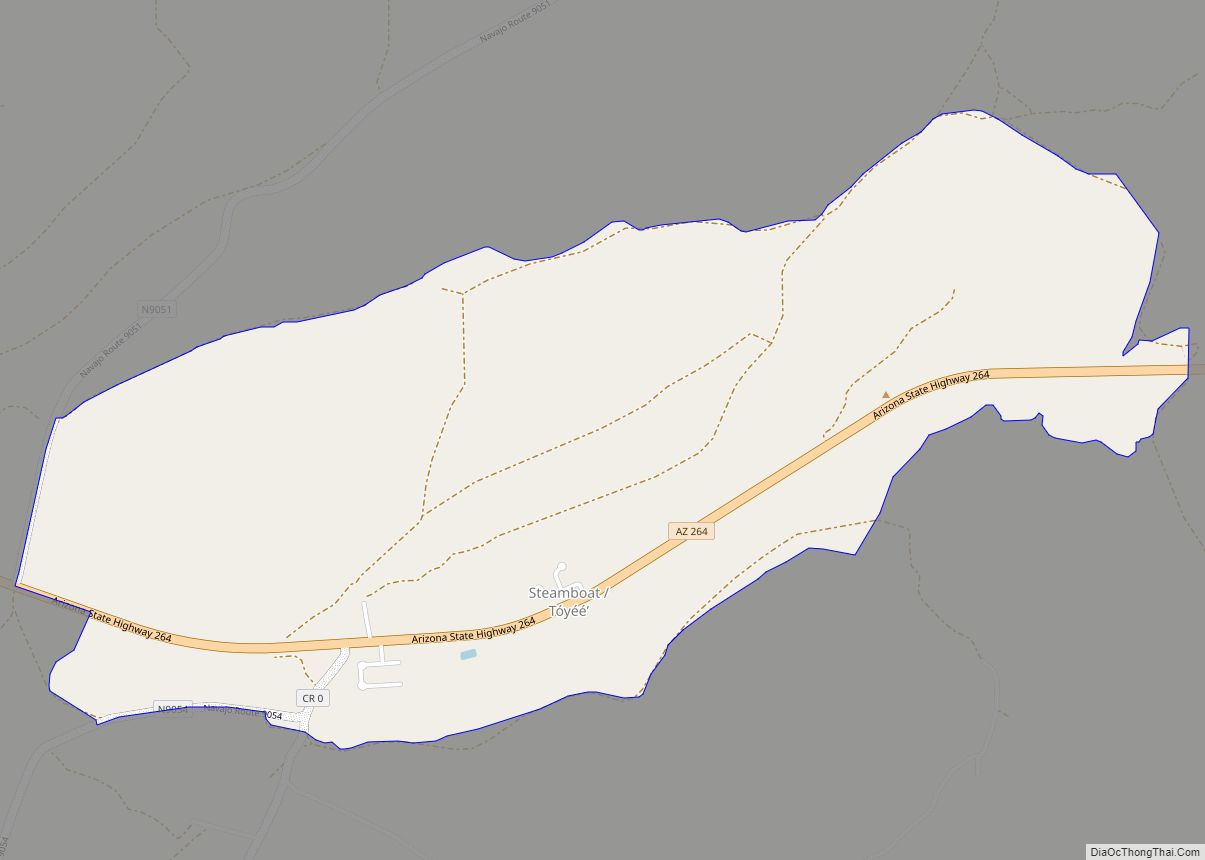
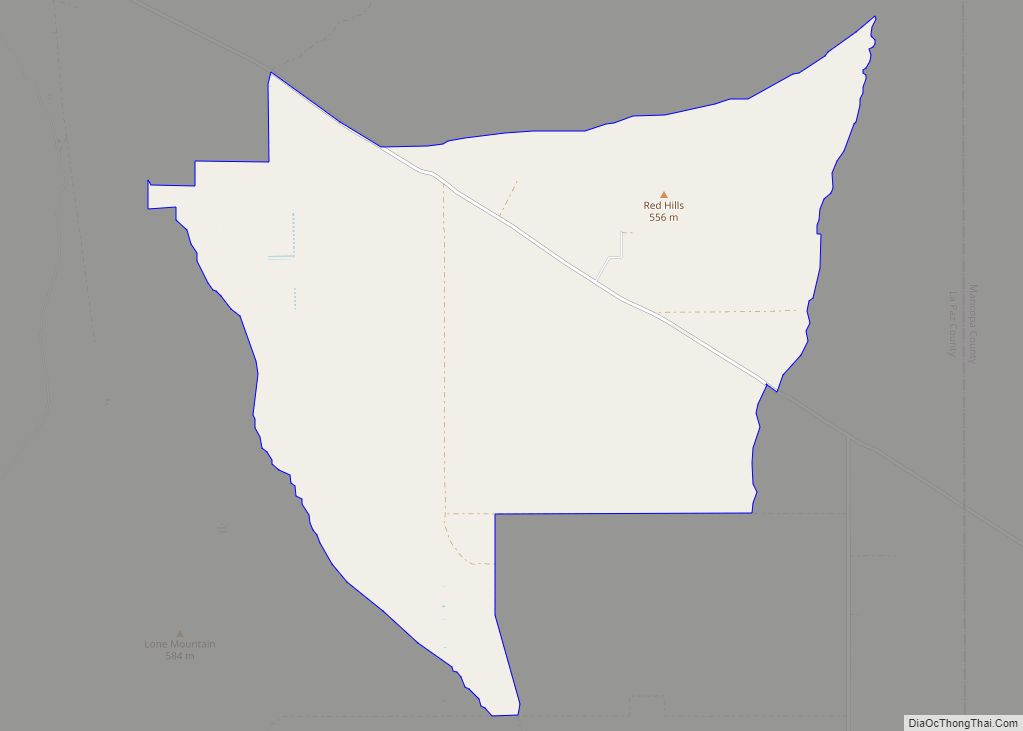
Steamboat (Navajo: Hóyééʼ) is a census-designated place (CDP) in Apache County, Arizona, United States, that includes Steamboat Canyon and Steamboat Trading Post. The population was 284 at the 2010 census. Steamboat CDP overview: Name: Steamboat CDP LSAD Code: 57 LSAD Description: CDP (suffix) State: Arizona County: Apache County Elevation: 6,560 ft (1,999 m) Total Area: 2.43 sq mi (6.29 km²) ... Read more
Map of Steamboat CDP
Map of Star Valley town
Star Valley is a town in Gila County, Arizona, United States, incorporated in 2005. Before incorporation, it was a census-designated place (CDP). As of the 2010 census the population of the town was 2,310. Star Valley town overview: Name: Star Valley town LSAD Code: 43 LSAD Description: town (suffix) State: Arizona County: Gila County Incorporated: ... Read more
Map of Star Valley town
Map of Summit CDP, Arizona
Summit is a census-designated place (CDP) in Pima County, Arizona, United States. The population was 3,702 at the 2000 census. Summit CDP overview: Name: Summit CDP LSAD Code: 57 LSAD Description: CDP (suffix) State: Arizona County: Pima County Elevation: 2,621 ft (799 m) Total Area: 3.66 sq mi (9.48 km²) Land Area: 3.66 sq mi (9.48 km²) Water Area: 0.00 sq mi (0.00 km²) Total Population: ... Read more
Map of Summit CDP, Arizona
Map of Summerhaven CDP
Summerhaven is a small unincorporated community and census-designated place (CDP) on Mount Lemmon in the Santa Catalina Mountains north of Tucson in Pima County, Arizona, United States. As of the 2010 census it had a permanent population of 40. Summerhaven sits at an elevation of approximately 7,600 to 8,200 feet (2,300 to 2,500 m) above sea ... Read more
Map of Summerhaven CDP
Map of Strawberry CDP, Arizona
Strawberry is an unincorporated community and census-designated place (CDP) in Gila County, Arizona, United States. The population was 961 at the 2010 census. Strawberry CDP overview: Name: Strawberry CDP LSAD Code: 57 LSAD Description: CDP (suffix) State: Arizona County: Gila County Elevation: 5,800 ft (1,800 m) Total Area: 11.53 sq mi (29.86 km²) Land Area: 11.52 sq mi (29.84 km²) Water Area: 0.01 sq mi ... Read more
Map of Strawberry CDP, Arizona
Map of Sun Lakes CDP
Sun Lakes is an unincorporated community and census-designated place (CDP) in Maricopa County, Arizona, United States. The population was 14,868 at the 2020 census. Sun Lakes is an active adult community comprising five country club communities in three homeowner associations. These include the gated communities of Oakwood and IronWood (IronOaks), the gated and non-gated communities ... Read more
Map of Sun Lakes CDP
Map of Sun City CDP, Arizona
Sun City is an unincorporated community and census-designated place in Maricopa County, Arizona, United States, that is located within the Phoenix metropolitan area. The population was 39,931 as of the 2020 census. Its adjoining sister city is Sun City West. Both Sun Cities are retirement communities popular with snowbirds. Sun City CDP overview: Name: Sun ... Read more
Map of Sun City CDP, Arizona
Map of Sun City West CDP
Sun City West is an unincorporated community and census-designated place (CDP) in Maricopa County, Arizona, United States. The population was 25,806 at the 2020 census. Sun City West CDP overview: Name: Sun City West CDP LSAD Code: 57 LSAD Description: CDP (suffix) State: Arizona County: Maricopa County Elevation: 1,234 ft (376 m) Total Area: 11.97 sq mi (30.99 km²) Land ... Read more
Map of Sun City West CDP
Map of Sunwest CDP
Sunwest is a census-designated place in La Paz County, Arizona, United States. Its population was 5 as of the 2020 census. Sunwest CDP overview: Name: Sunwest CDP LSAD Code: 57 LSAD Description: CDP (suffix) State: Arizona County: La Paz County Elevation: 1,503 ft (458 m) Total Area: 24.25 sq mi (62.80 km²) Land Area: 24.25 sq mi (62.80 km²) Water Area: 0.00 sq mi (0.00 km²) ... Read more
Map of Sunwest CDP
Map of Sunizona CDP
Sunizona is a census-designated place in the central portion of Cochise County in the state of Arizona, United States. Sunizona is located approximately 10 miles to the east of Pearce along Arizona State Highway 181, near US 191. According to the U.S. Census Bureau, the population of Sunizona was 212 in 2019. The median household ... Read more
Map of Sunizona CDP
Map of Sun Valley CDP, Arizona
Sun Valley is a populated place in Navajo County, Arizona, United States, east of Holbrook along Interstate 40. It is located at 34°58′50″N 110°3′29″W / 34.98056°N 110.05806°W / 34.98056; -110.05806 in the Painted Desert and covers an area of 31.6 square miles. Sun Valley CDP overview: Name: Sun Valley CDP LSAD Code: 57 LSAD Description: ... Read more
Map of Sun Valley CDP, Arizona
Map of Sweet Water Village CDP
Sweet Water Village (O’odham: S-iʼovĭ Shu:dagĭ) is a census-designated place (CDP) in Pinal County, Arizona, United States, located in the Gila River Indian Community. The population was 83 at the 2010 census. Sweet Water Village CDP overview: Name: Sweet Water Village CDP LSAD Code: 57 LSAD Description: CDP (suffix) State: Arizona County: Pinal County Total ... Read more
Map of Sweet Water Village CDP