Sun City is an unincorporated community and census-designated place in Maricopa County, Arizona, United States, that is located within the Phoenix metropolitan area.
The population was 39,931 as of the 2020 census. Its adjoining sister city is Sun City West. Both Sun Cities are retirement communities popular with snowbirds.
| Name: | Sun City CDP |
|---|---|
| LSAD Code: | 57 |
| LSAD Description: | CDP (suffix) |
| State: | Arizona |
| County: | Maricopa County |
| Elevation: | 1,142 ft (348 m) |
| Total Area: | 14.59 sq mi (37.80 km²) |
| Land Area: | 14.42 sq mi (37.35 km²) |
| Water Area: | 0.17 sq mi (0.45 km²) |
| Total Population: | 39,931 |
| Population Density: | 2,769.14/sq mi (1,069.16/km²) |
| ZIP code: | 85300-85399 |
| Area code: | 623 |
| FIPS code: | 0470320 |
| GNISfeature ID: | 11953 |
Online Interactive Map
Click on ![]() to view map in "full screen" mode.
to view map in "full screen" mode.
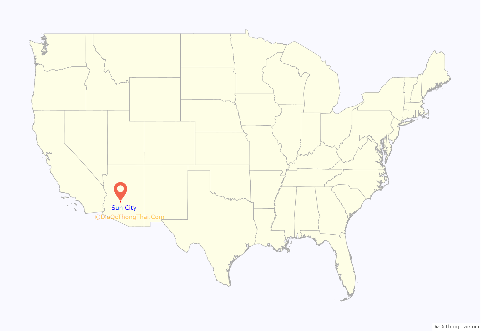
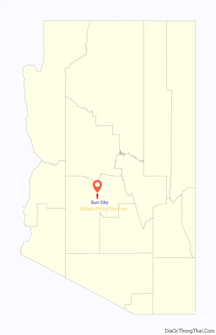
Sun City location map. Where is Sun City CDP?
History
Sun City was opened January 1, 1960, with five home models, a shopping center, a recreation center, and a golf course. The opening weekend drew 100,000 people, ten times more than expected, and resulted in a Time magazine cover story. The future retirement community was built on the site of the former ghost town of Marinette. Developer Del E. Webb expanded Sun City over the years, and his company went on to build other retirement communities in the Sun Belt. Sun City West was built in the late 1970s, Sun City Grand in the late 1990s, Sun City Anthem in 1999, and Sun City Festival in July 2006.
The community is well known to law students, as it is featured in the case Spur Industries, Inc. v. Del E. Webb Development Co., 494 P.2d 700 (Ariz. 1972), commonly used in first-year property law courses to illustrate nuisance law.
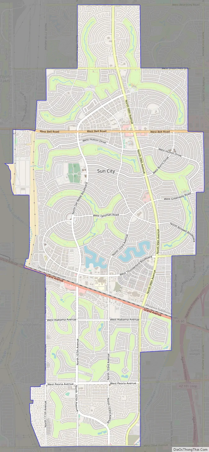
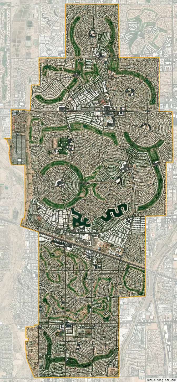
The community’s street network design consists largely of concentric circles in four main pinwheels.
Sun City Road Map
Sun City city Satellite Map
Geography
Sun City is located 16 miles (26 km) northwest of downtown Phoenix at 33°35′31″N 112°16′19″W / 33.59194°N 112.27194°W / 33.59194; -112.27194 (33.597439, −112.272052). It is bordered to the north, east, and south by the city of Peoria, to the southwest by Youngtown, to the west by El Mirage, and to the northwest by Surprise.
According to the United States Census Bureau, the Sun City CDP has a total area of 14.6 square miles (38 km), of which 14.4 square miles (37 km) are land and 0.2 square miles (0.5 km), or 1.19%, are water.
Climate
See also
Map of Arizona State and its subdivision: Map of other states:- Alabama
- Alaska
- Arizona
- Arkansas
- California
- Colorado
- Connecticut
- Delaware
- District of Columbia
- Florida
- Georgia
- Hawaii
- Idaho
- Illinois
- Indiana
- Iowa
- Kansas
- Kentucky
- Louisiana
- Maine
- Maryland
- Massachusetts
- Michigan
- Minnesota
- Mississippi
- Missouri
- Montana
- Nebraska
- Nevada
- New Hampshire
- New Jersey
- New Mexico
- New York
- North Carolina
- North Dakota
- Ohio
- Oklahoma
- Oregon
- Pennsylvania
- Rhode Island
- South Carolina
- South Dakota
- Tennessee
- Texas
- Utah
- Vermont
- Virginia
- Washington
- West Virginia
- Wisconsin
- Wyoming


