Map of Pastoria CDP
Pastoria is a census-designated place (CDP) in Accomack County, Virginia, United States. It was first listed as a CDP in 2010. Per the 2020 census, the population was 627. Pastoria CDP overview: Name: Pastoria CDP LSAD Code: 57 LSAD Description: CDP (suffix) State: Virginia County: Accomack County Elevation: 33 ft (10 m) Total Area: 627 ZIP code: ... Read more
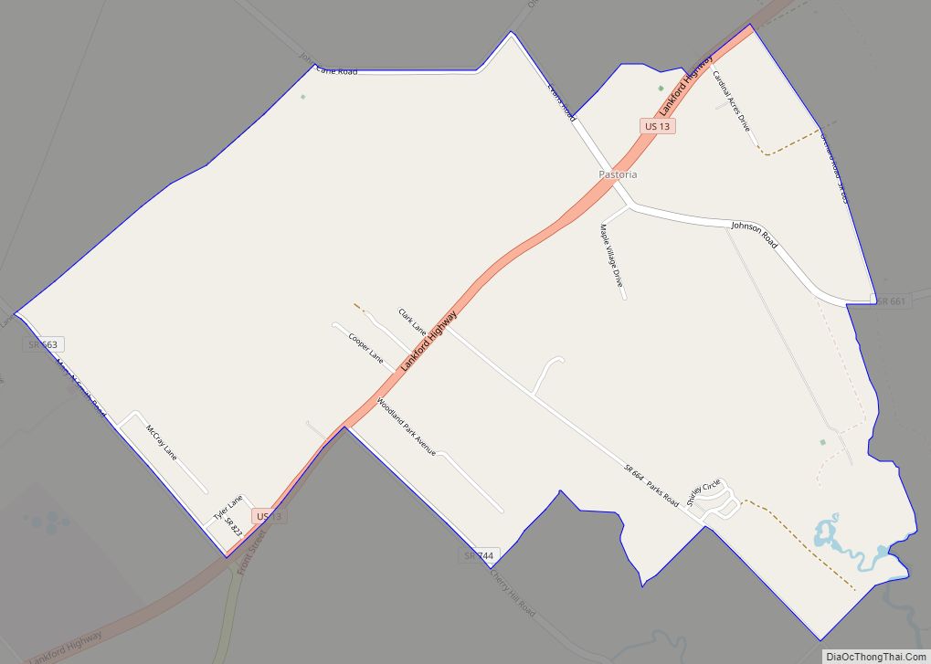
Map of Pastoria CDP
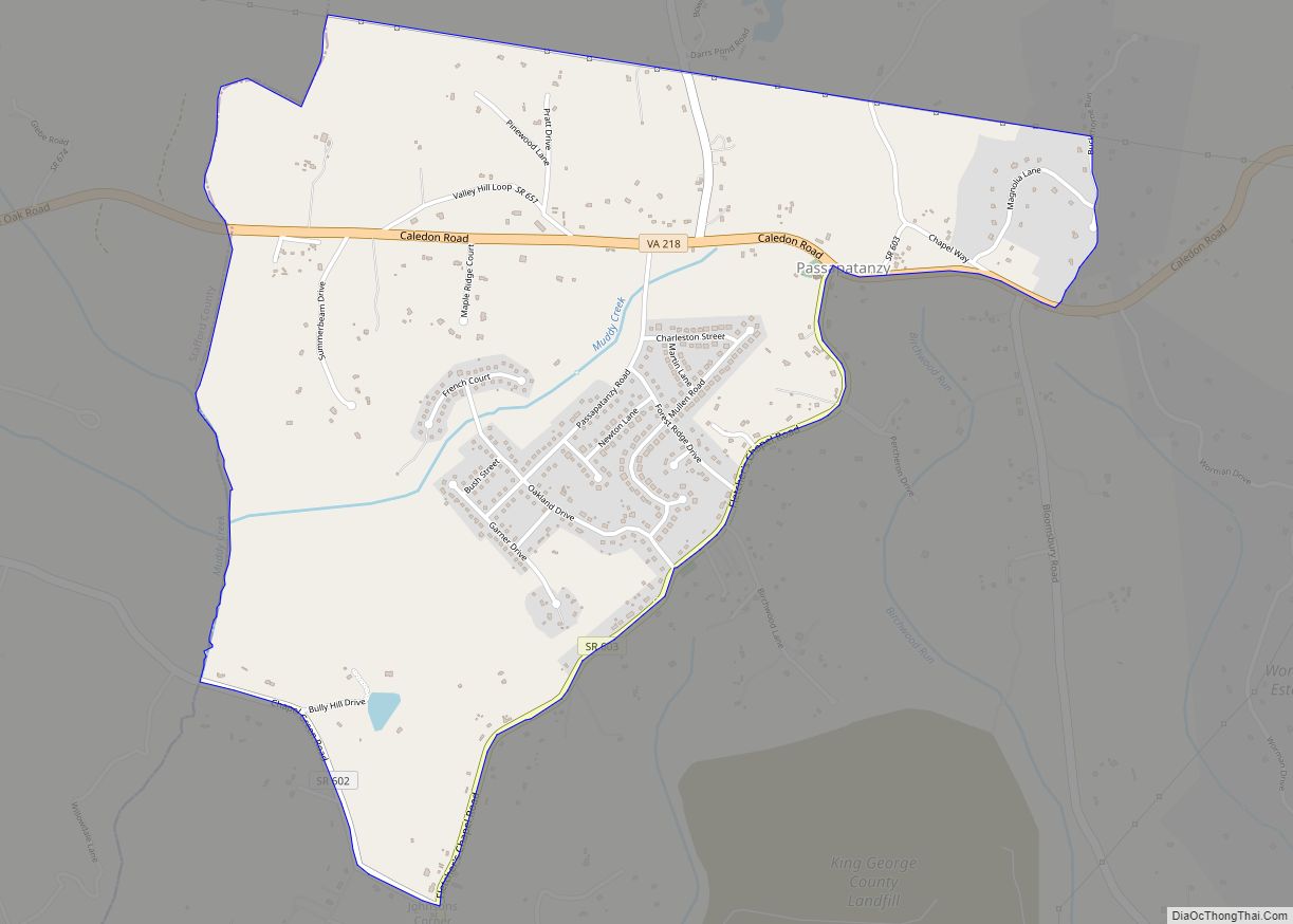
Map of Passapatanzy CDP
Passapatanzy is an unincorporated community and census-designated place (CDP) in King George County, Virginia, United States. The population as of the 2010 census was 1,283. Passapatanzy CDP overview: Name: Passapatanzy CDP LSAD Code: 57 LSAD Description: CDP (suffix) State: Virginia County: King George County Elevation: 214 ft (65 m) Total Area: 2.04 sq mi (5.28 km²) Land Area: 2.03 sq mi (5.27 km²) ... Read more
Map of Passapatanzy CDP
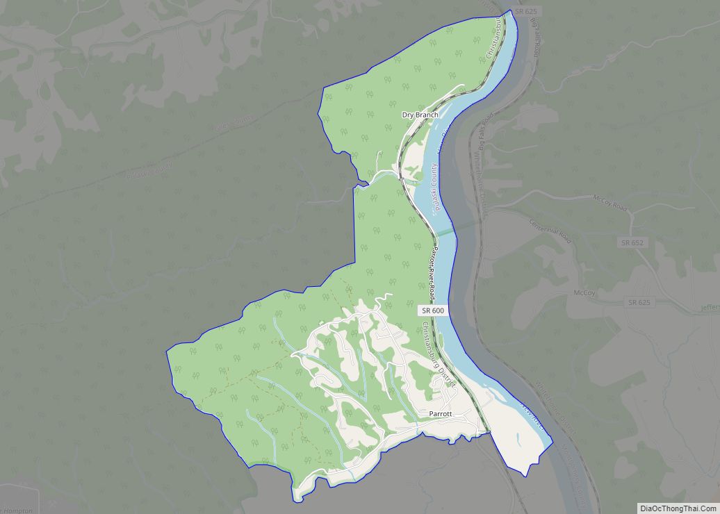
Map of Parrott CDP, Virginia
Parrott is a census-designated place (CDP) in Pulaski County, Virginia, United States. The population as of the United States Census, 2017 was 509 The town was named after John Henry Parrott Jr.(1847-1930). Parrott started the Pulaski Anthracite coal mine in 1902 and was the mine’s general manager and probable shareholder. Parrott is bordered by the ... Read more
Map of Parrott CDP, Virginia
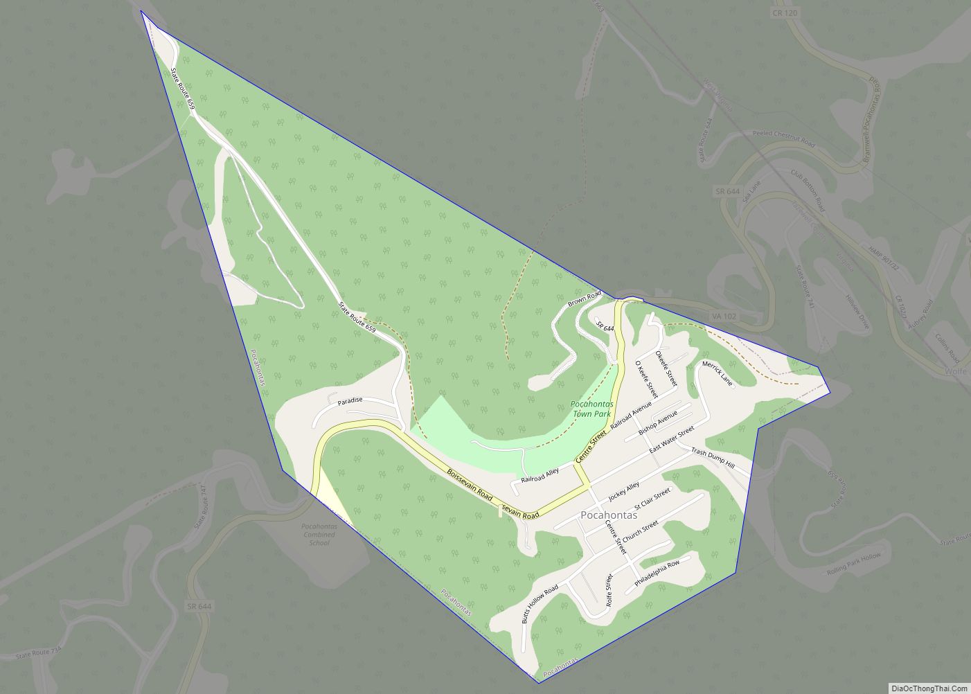
Map of Pocahontas town, Virginia
Pocahontas is a town in Tazewell County, Virginia, United States. It was named for Chief Powhatan’s daughter, Pocahontas, who lived in the 17th-century Jamestown Settlement. The town was founded as a company mining town by the Southwest Virginia Improvement Company in 1881. It was the first company mining town in Virginia. The post office was ... Read more
Map of Pocahontas town, Virginia
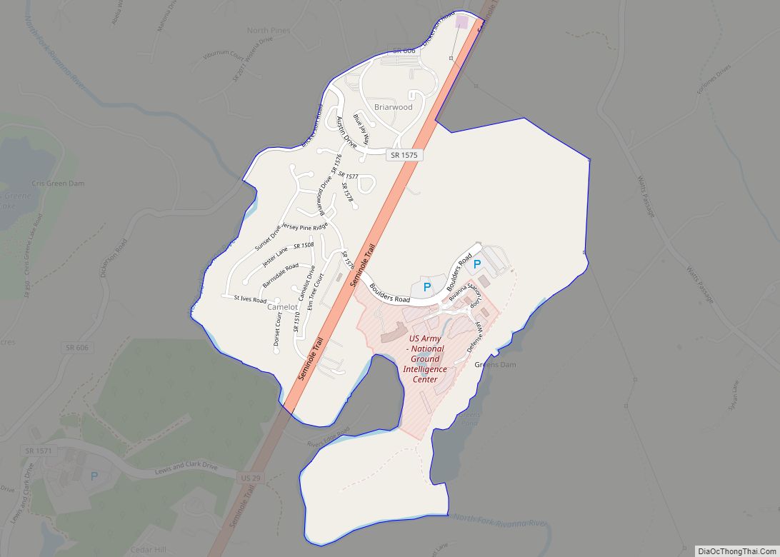
Map of Piney Mountain CDP
Piney Mountain is a census-designated place in Albemarle County, Virginia. The population as of the 2010 Census was 1,130. Piney Mountain CDP overview: Name: Piney Mountain CDP LSAD Code: 57 LSAD Description: CDP (suffix) State: Virginia County: Albemarle County Total Area: 1,880 ZIP code: 22911 FIPS code: 5162738 GNISfeature ID: 2584902 Online Interactive Map Piney ... Read more
Map of Piney Mountain CDP
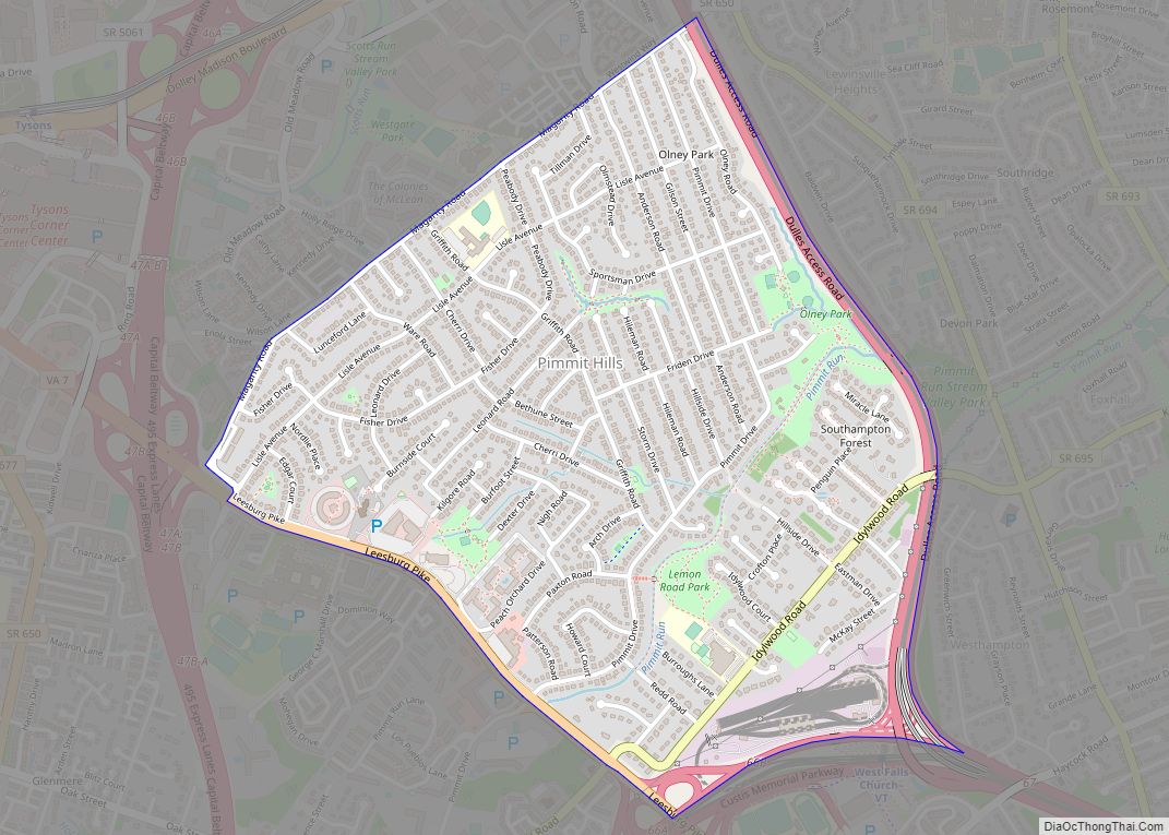
Map of Pimmit Hills CDP
Pimmit Hills is a census-designated place (CDP) in Fairfax County, Virginia, United States. The population was 6,094 at the 2010 census. In practical terms, it is more of a neighborhood within a densely populated urban area than a traditional town. It is found within the triangle made by the intersection of three highways: Interstate 495 ... Read more
Map of Pimmit Hills CDP
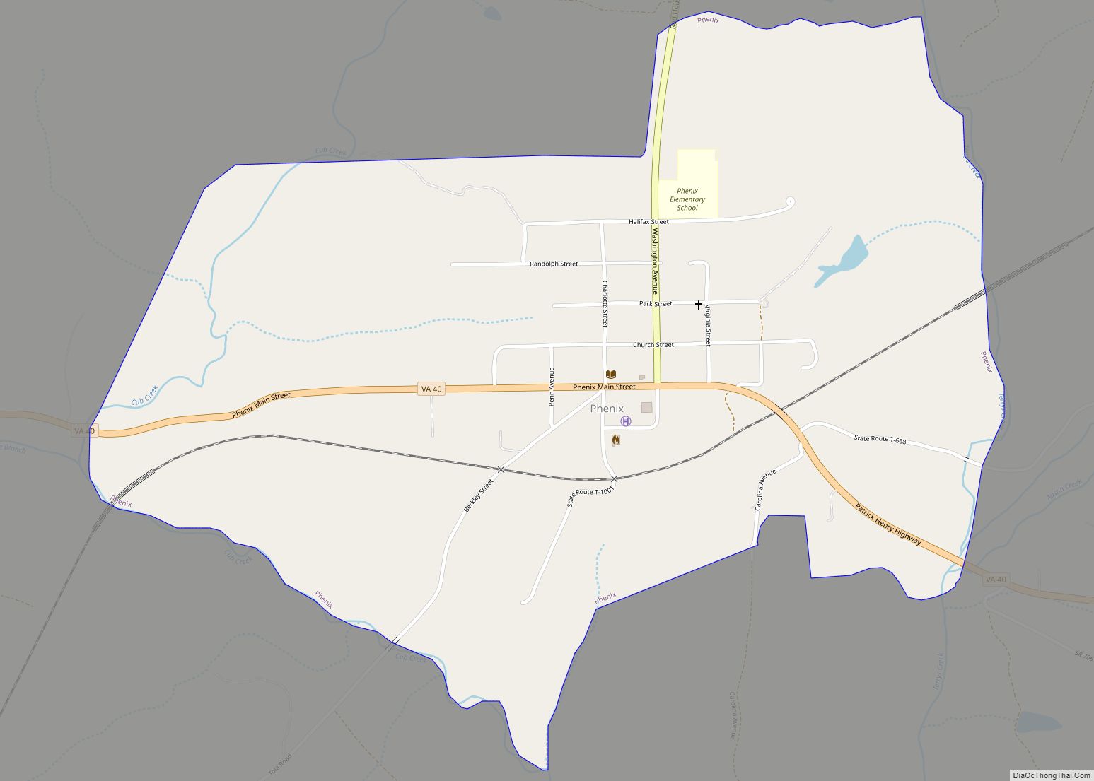
Map of Phenix town
Phenix is a town in Charlotte County, Virginia, United States. The population was 226 at the 2010 census. Phenix town overview: Name: Phenix town LSAD Code: 43 LSAD Description: town (suffix) State: Virginia County: Charlotte County Elevation: 522 ft (159 m) Total Area: 1.15 sq mi (2.99 km²) Land Area: 1.15 sq mi (2.99 km²) Water Area: 0.00 sq mi (0.00 km²) Total Population: 226 Population ... Read more
Map of Phenix town
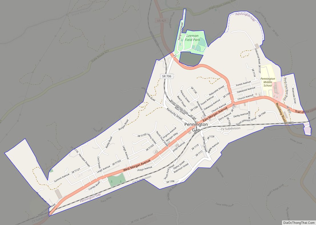
Map of Pennington Gap town
Pennington Gap is the most populous town in Lee County, Virginia, United States. The population was 1,781 at the 2010 census. The Lee Regional Medical Center was in Pennington Gap until it closed in October 2013, and the United States Penitentiary, Lee is nearby. The Pennington Gap post office was established in 1891. Pennington Gap ... Read more
Map of Pennington Gap town
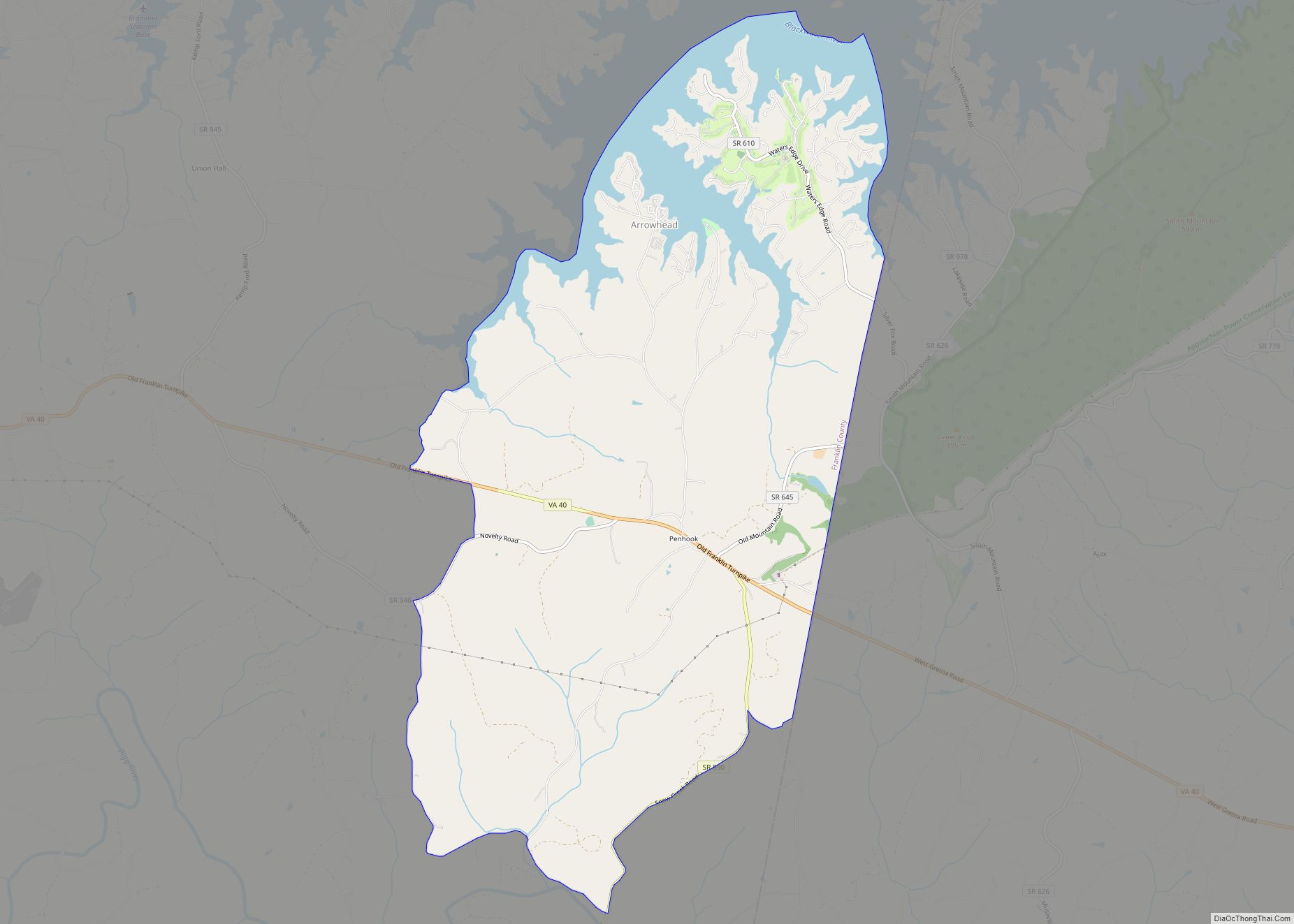
Map of Penhook CDP
Penhook CDP overview: Name: Penhook CDP LSAD Code: 57 LSAD Description: CDP (suffix) State: Virginia County: Franklin County FIPS code: 5161464 Online Interactive Map Penhook online map. Source: Basemap layers from Google Map, Open Street Map (OSM), Arcgisonline, Wmflabs. Boundary Data from Database of Global Administrative Areas. Penhook location map. Where is Penhook CDP? Penhook ... Read more
Map of Penhook CDP
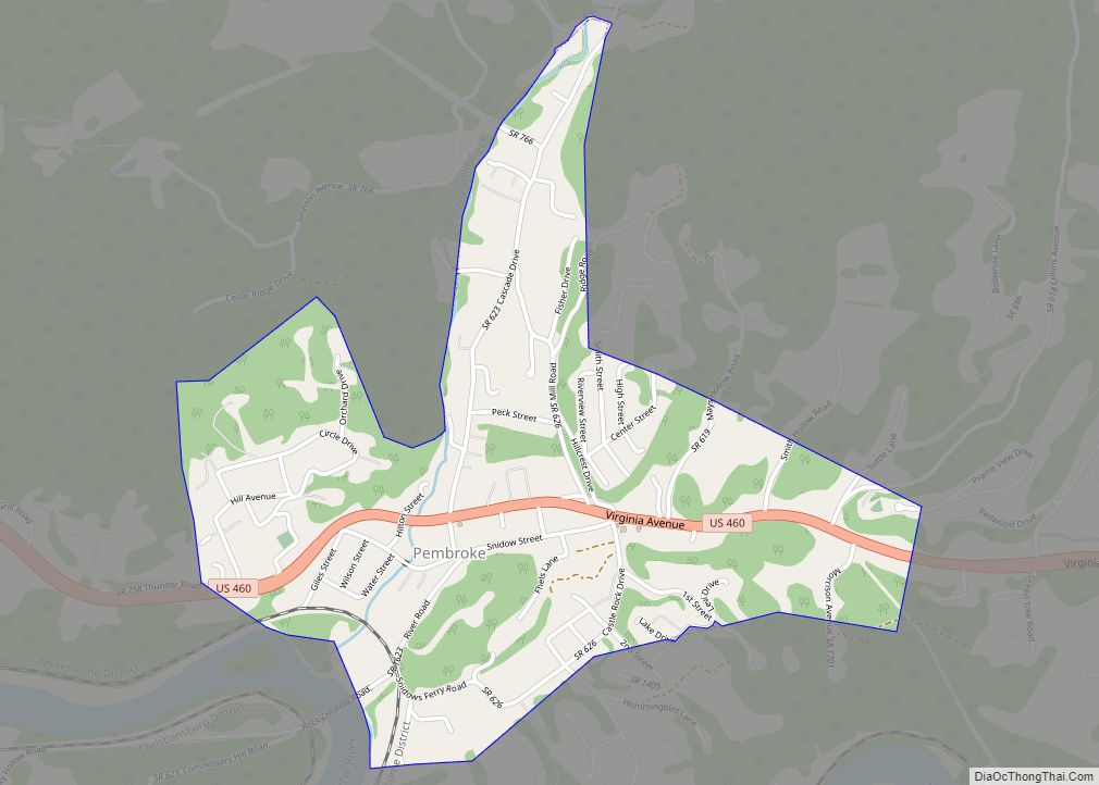
Map of Pembroke town, Virginia
Pembroke ( /ˈpɪmbrʊk/ PIM-bruuk) is a town in Giles County, Virginia, United States. The population was 1,128 at the 2010 census. It is part of the Blacksburg–Christiansburg Metropolitan Statistical Area. Pembroke town overview: Name: Pembroke town LSAD Code: 43 LSAD Description: town (suffix) State: Virginia County: Giles County Elevation: 1,654 ft (504 m) Total Area: 1.09 sq mi (2.81 km²) ... Read more
Map of Pembroke town, Virginia
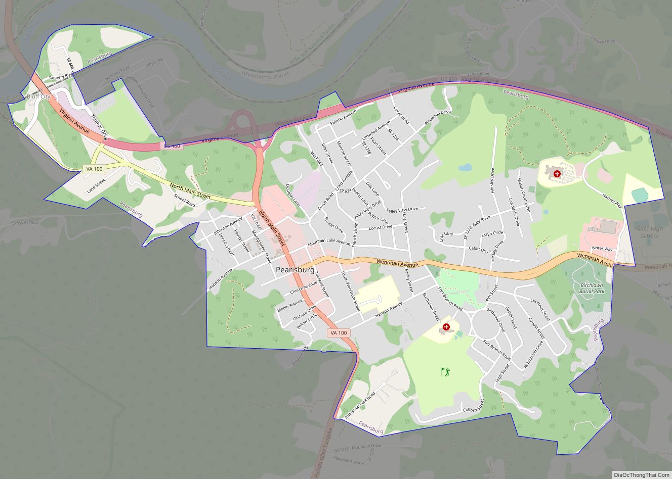
Map of Pearisburg town
Pearisburg is a town in Giles County, Virginia, and the county seat. The population was 2,786 at the time of the 2010 census. Pearisburg is part of the Blacksburg–Christiansburg Metropolitan Statistical Area. Pearisburg town overview: Name: Pearisburg town LSAD Code: 43 LSAD Description: town (suffix) State: Virginia County: Giles County Elevation: 1,808 ft (551 m) Total Area: ... Read more
Map of Pearisburg town
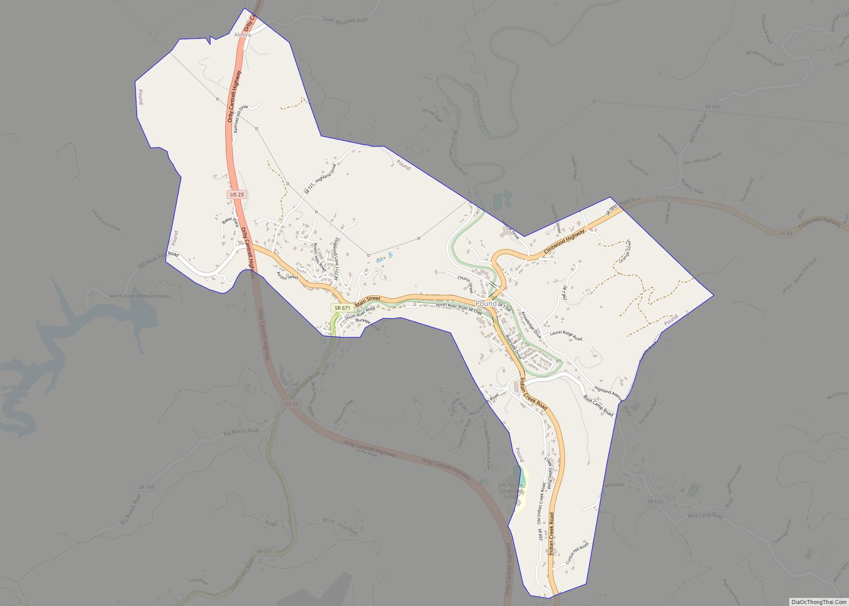
Map of Pound town, Virginia
Pound is a town in Wise County, Virginia, United States. The population was recorded as 1,037 in the 2010 United States Census. Pound town overview: Name: Pound town LSAD Code: 43 LSAD Description: town (suffix) State: Virginia County: Wise County Elevation: 1,565 ft (477 m) Total Area: 2.61 sq mi (6.75 km²) Land Area: 2.60 sq mi (6.75 km²) Water Area: 0.00 sq mi (0.01 km²) ... Read more
Map of Pound town, Virginia