Pearisburg is a town in Giles County, Virginia, and the county seat. The population was 2,786 at the time of the 2010 census. Pearisburg is part of the Blacksburg–Christiansburg Metropolitan Statistical Area.
| Name: | Pearisburg town |
|---|---|
| LSAD Code: | 43 |
| LSAD Description: | town (suffix) |
| State: | Virginia |
| County: | Giles County |
| Elevation: | 1,808 ft (551 m) |
| Total Area: | 3.20 sq mi (8.28 km²) |
| Land Area: | 3.19 sq mi (8.27 km²) |
| Water Area: | 0.00 sq mi (0.01 km²) 0.15% |
| Total Population: | 2,786 |
| Population Density: | 825.81/sq mi (318.81/km²) |
| ZIP code: | 24134 |
| Area code: | 540 |
| FIPS code: | 5161208 |
| GNISfeature ID: | 1498527 |
| Website: | www.pearisburg.org |
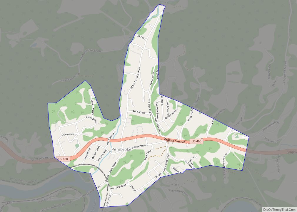
Online Interactive Map
Click on ![]() to view map in "full screen" mode.
to view map in "full screen" mode.
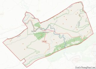
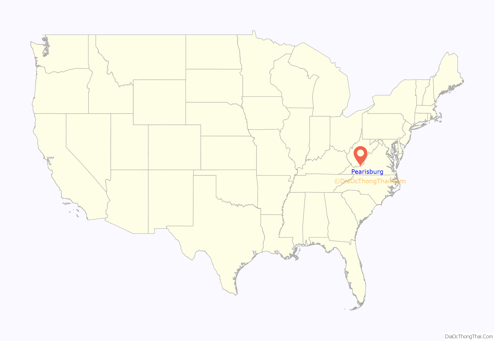
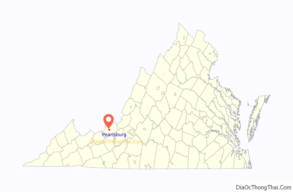
Pearisburg location map. Where is Pearisburg town?
History
Pearisburg was founded in 1808 when Giles County was established. It was named after George Pearis, a local landowner who donated a 50-acre (20 ha) tract to be used for a town that would grow up around the county court house. Pearis had operated a ferry on the New River at a settlement called “Bluff City”, which is incorporated into the present boundaries of the town of Pearisburg.
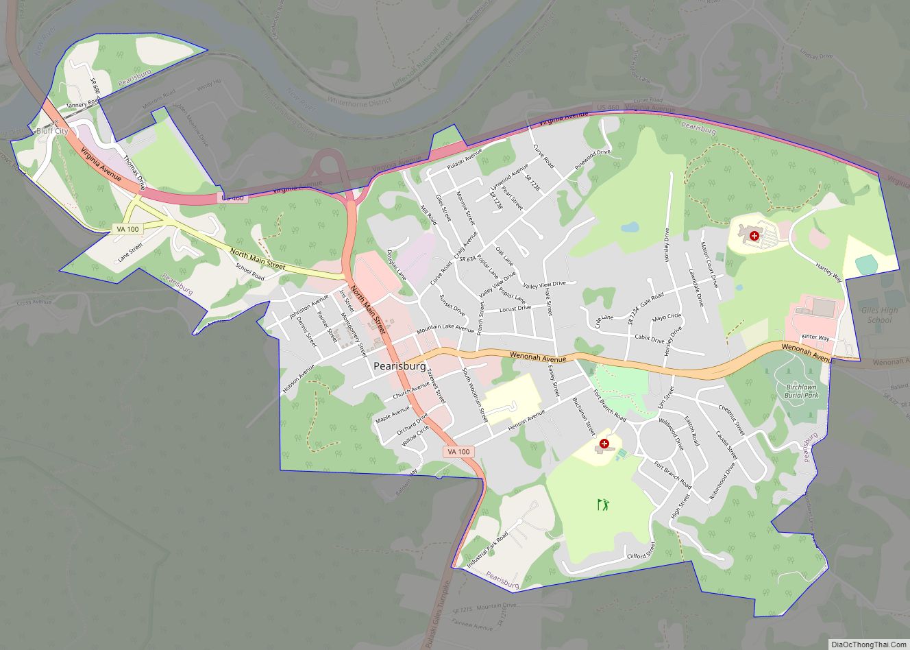
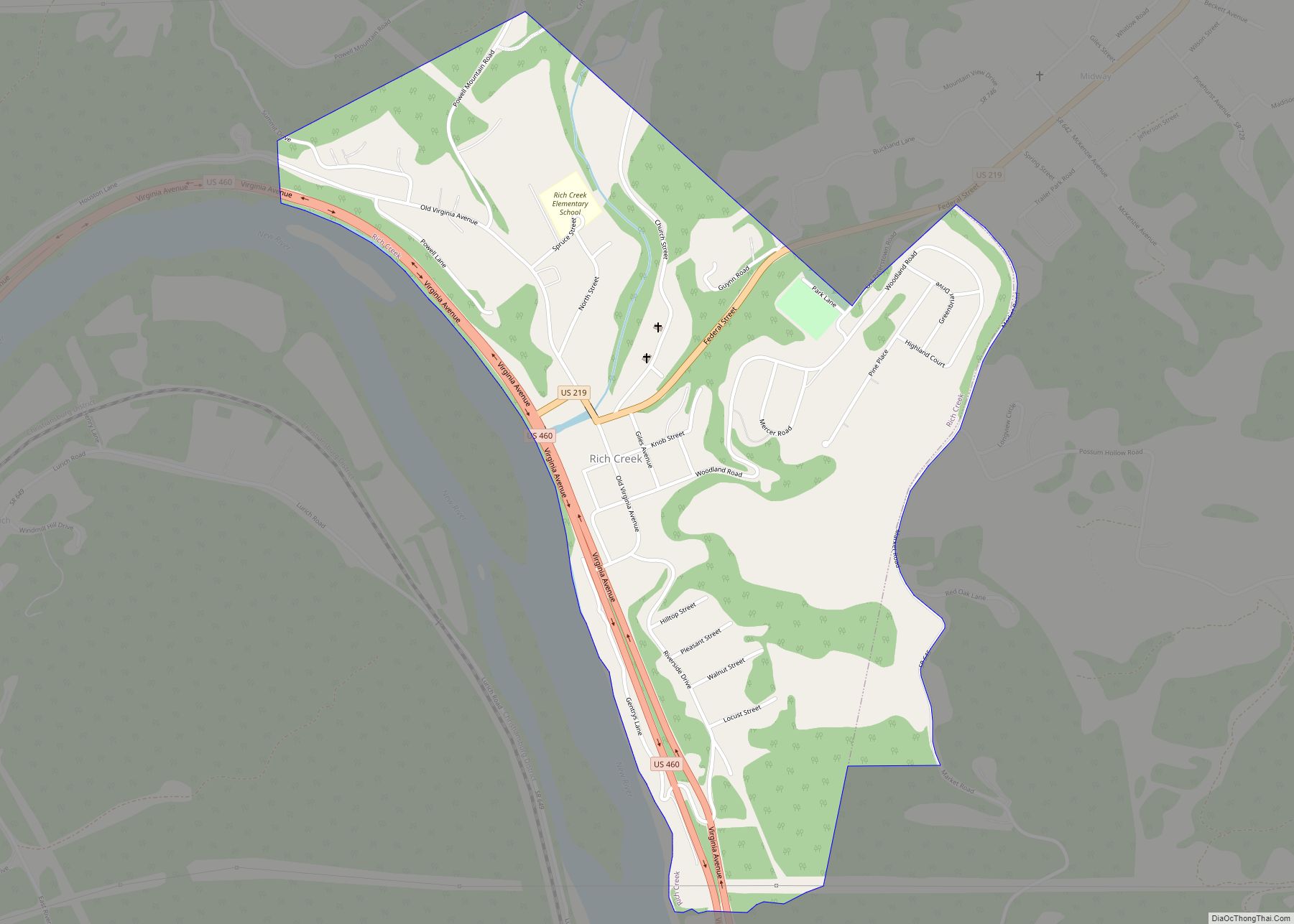
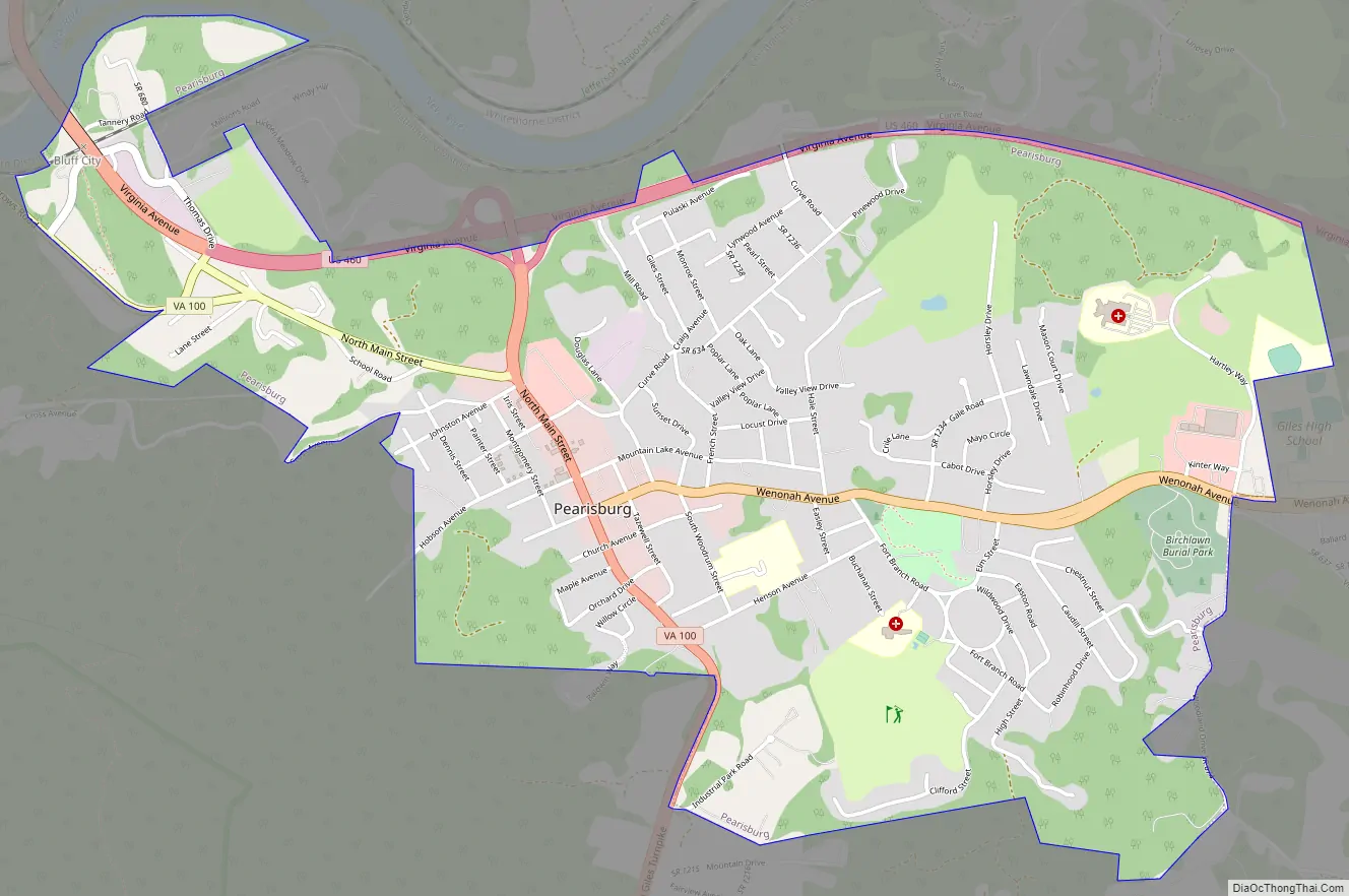
Pearisburg Road Map
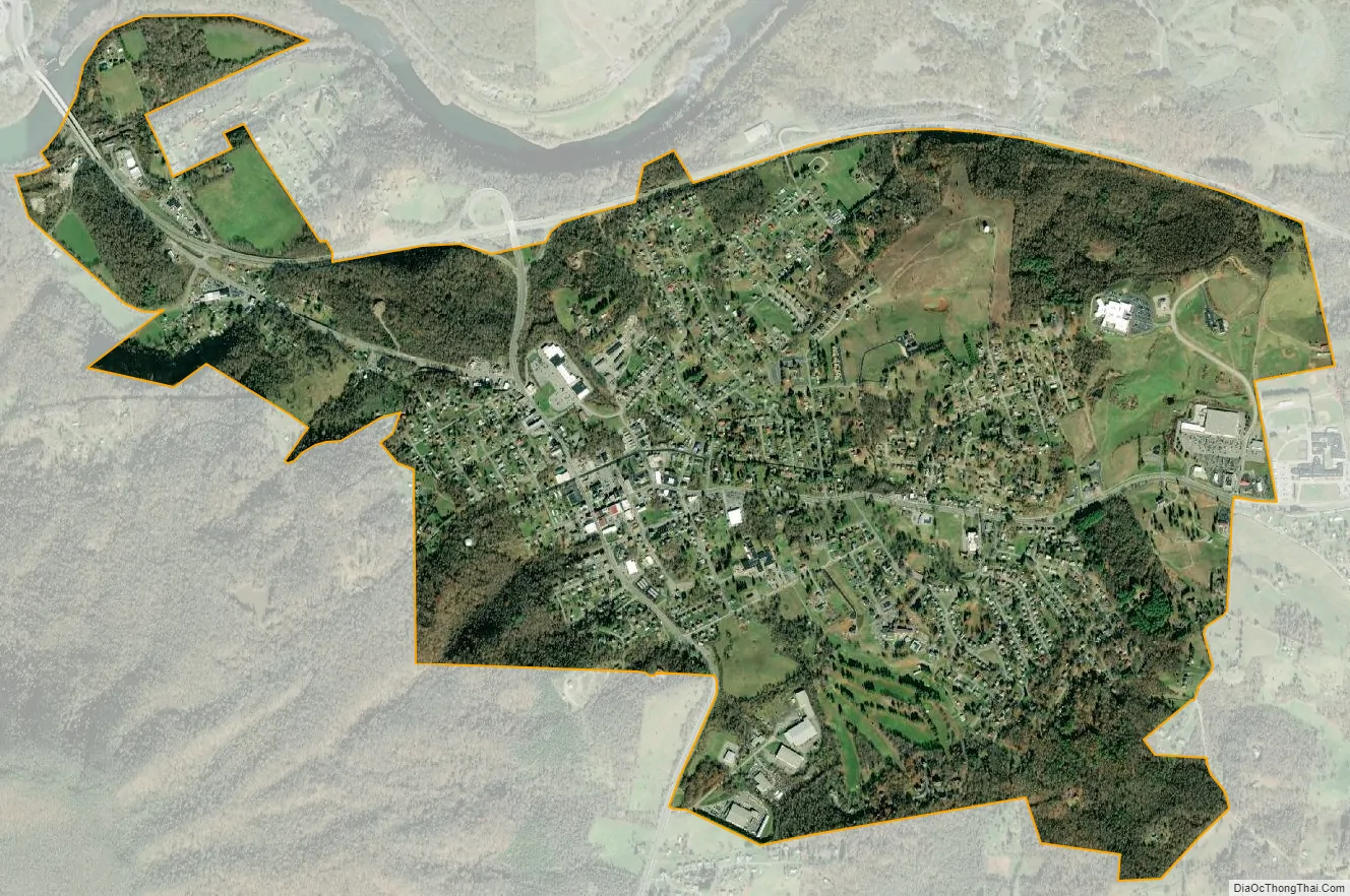
Pearisburg city Satellite Map
Geography
Pearisburg is located slightly west of the center of Giles County at 37°19′45″N 80°43′57″W / 37.32917°N 80.73250°W / 37.32917; -80.73250 (37.329184, −80.732490). It is south of the New River at the foot of Pearis Mountain, which rises to 3,700 feet (1,100 m) to the southwest of town. The Appalachian Trail descends Pearis Mountain and passes through the western limit of the town before crossing the New River.
U.S. Route 460 passes through the north side of town, leading southeast 24 miles (39 km) to Blacksburg and west 27 miles (43 km) to Princeton, West Virginia. Virginia Route 100 passes through the center of Pearisburg, leading south 20 miles (32 km) to Dublin near Interstate 81.
According to the United States Census Bureau, Pearisburg has a total area of 3.2 square miles (8.2 km), of which 0.004 square miles (0.01 km), or 0.15%, are water.
See also
Map of Virginia State and its subdivision:- Accomack
- Albemarle
- Alexandria
- Alleghany
- Amelia
- Amherst
- Appomattox
- Arlington
- Augusta
- Bath
- Bedford
- Bedford City
- Bland
- Botetourt
- Bristol
- Brunswick
- Buchanan
- Buckingham
- Buena Vista
- Campbell
- Caroline
- Carroll
- Charles City
- Charlotte
- Charlottesville
- Chesapeake
- Chesterfield
- Clarke
- Clifton Forge City
- Colonial Heights
- Covington
- Craig
- Culpeper
- Cumberland
- Danville
- Dickenson
- Dinwiddie
- Emporia
- Essex
- Fairfax
- Fairfax City
- Falls Church
- Fauquier
- Floyd
- Fluvanna
- Franklin
- Frederick
- Fredericksburg
- Galax
- Giles
- Gloucester
- Goochland
- Grayson
- Greene
- Greensville
- Halifax
- Hampton
- Hanover
- Harrisonburg
- Henrico
- Henry
- Highland
- Hopewell
- Isle of Wight
- James City
- King and Queen
- King George
- King William
- Lancaster
- Lee
- Lexington
- Loudoun
- Louisa
- Lunenburg
- Lynchburg
- Madison
- Manassas
- Manassas Park
- Martinsville
- Mathews
- Mecklenburg
- Middlesex
- Montgomery
- Nelson
- New Kent
- Newport News
- Norfolk
- Northampton
- Northumberland
- Norton
- Nottoway
- Orange
- Page
- Patrick
- Petersburg
- Pittsylvania
- Poquoson
- Portsmouth
- Powhatan
- Prince Edward
- Prince George
- Prince William
- Pulaski
- Radford
- Rappahannock
- Richmond
- Roanoke
- Roanoke City
- Rockbridge
- Rockingham
- Russell
- Salem
- Scott
- Shenandoah
- Smyth
- Southampton
- Spotsylvania
- Stafford
- Staunton
- Suffolk
- Surry
- Sussex
- Tazewell
- Virginia Beach
- Warren
- Washington
- Waynesboro
- Westmoreland
- Williamsburg
- Winchester
- Wise
- Wythe
- York
- Alabama
- Alaska
- Arizona
- Arkansas
- California
- Colorado
- Connecticut
- Delaware
- District of Columbia
- Florida
- Georgia
- Hawaii
- Idaho
- Illinois
- Indiana
- Iowa
- Kansas
- Kentucky
- Louisiana
- Maine
- Maryland
- Massachusetts
- Michigan
- Minnesota
- Mississippi
- Missouri
- Montana
- Nebraska
- Nevada
- New Hampshire
- New Jersey
- New Mexico
- New York
- North Carolina
- North Dakota
- Ohio
- Oklahoma
- Oregon
- Pennsylvania
- Rhode Island
- South Carolina
- South Dakota
- Tennessee
- Texas
- Utah
- Vermont
- Virginia
- Washington
- West Virginia
- Wisconsin
- Wyoming