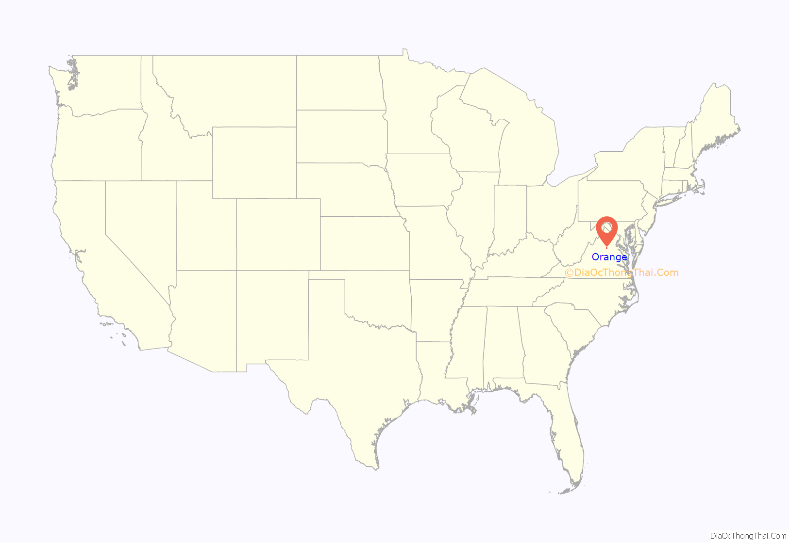
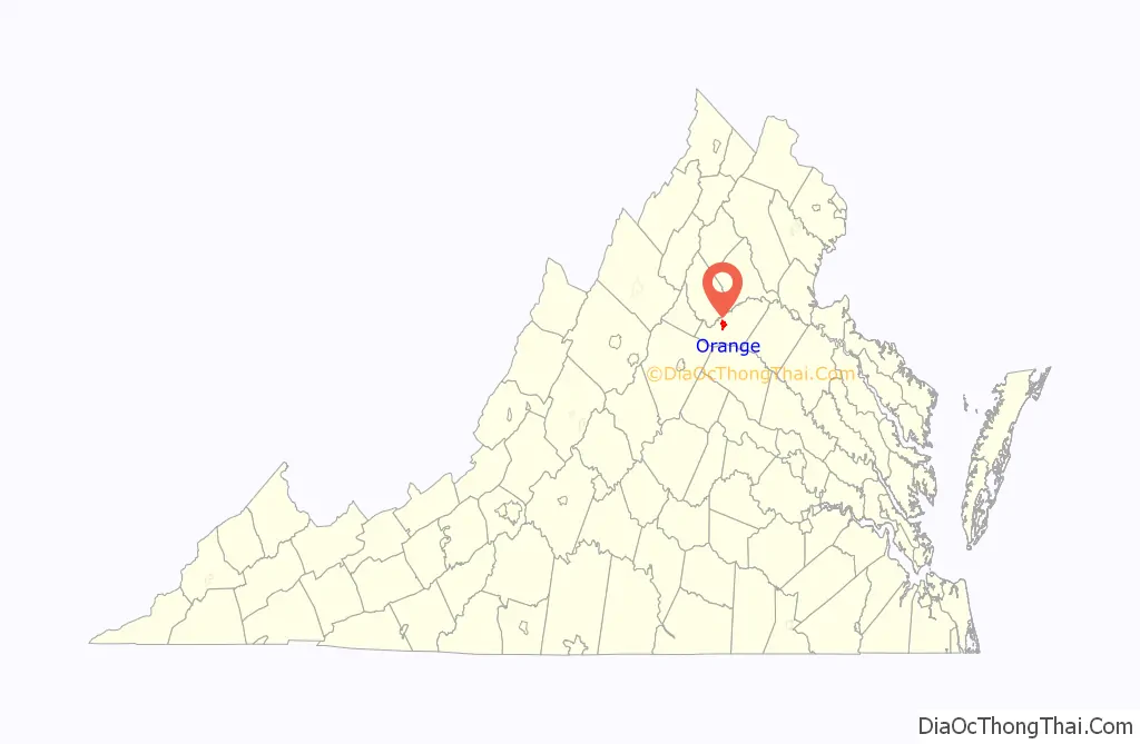
Orange is a town and the county seat of Orange County, Virginia. The population was 5,062 at the 2020 census, representing a 7.2% increase since the 2010 census. Orange is 28 miles (45 km) northeast of Charlottesville, 88 miles (142 km) southwest of Washington, D.C., and 4 miles (6 km) east of Founding Father and fourth U.S. president James Madison’s plantation of Montpelier.
| Name: | Orange town |
|---|---|
| LSAD Code: | 43 |
| LSAD Description: | town (suffix) |
| State: | Virginia |
| County: | Orange County |
| Incorporated: | 1834; Officially in 1872 |
| Elevation: | 522 ft (159 m) |
| Total Area: | 3.38 sq mi (8.75 km²) |
| Land Area: | 3.36 sq mi (8.71 km²) |
| Water Area: | 0.02 sq mi (0.04 km²) |
| Total Population: | 5,062 |
| Population Density: | 1,516.22/sq mi (585.36/km²) |
| ZIP code: | 22960 |
| Area code: | 540 |
| FIPS code: | 5159496 |
| GNISfeature ID: | 1498525 |
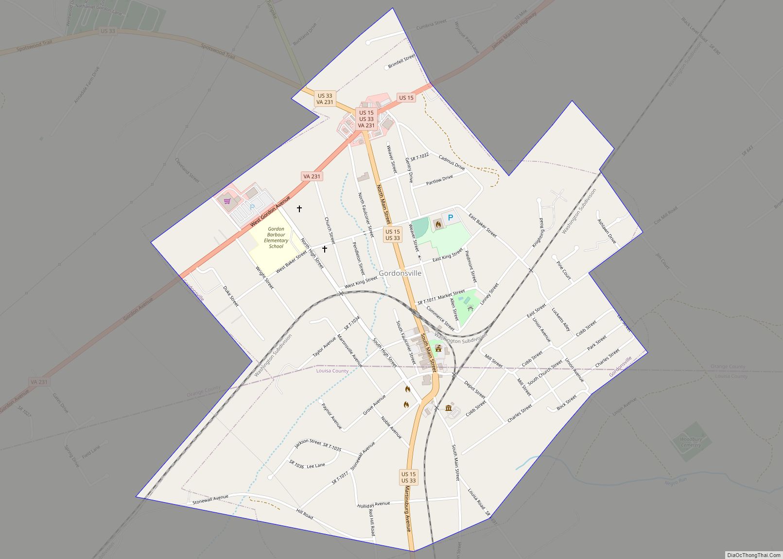
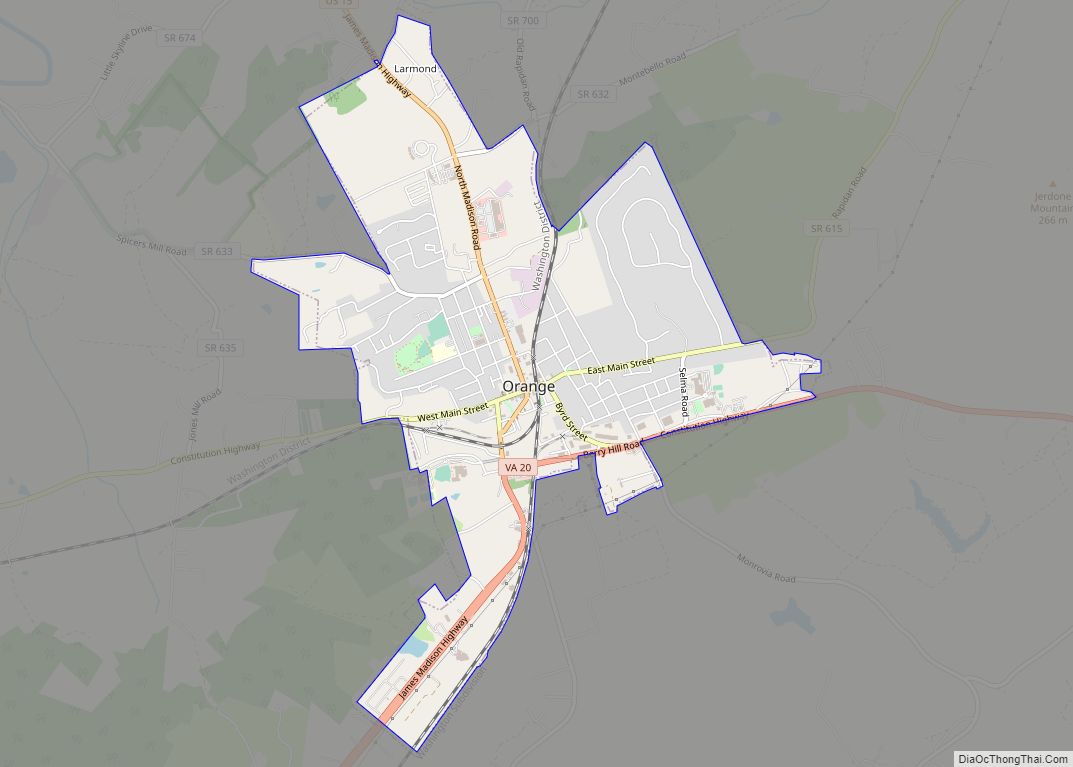
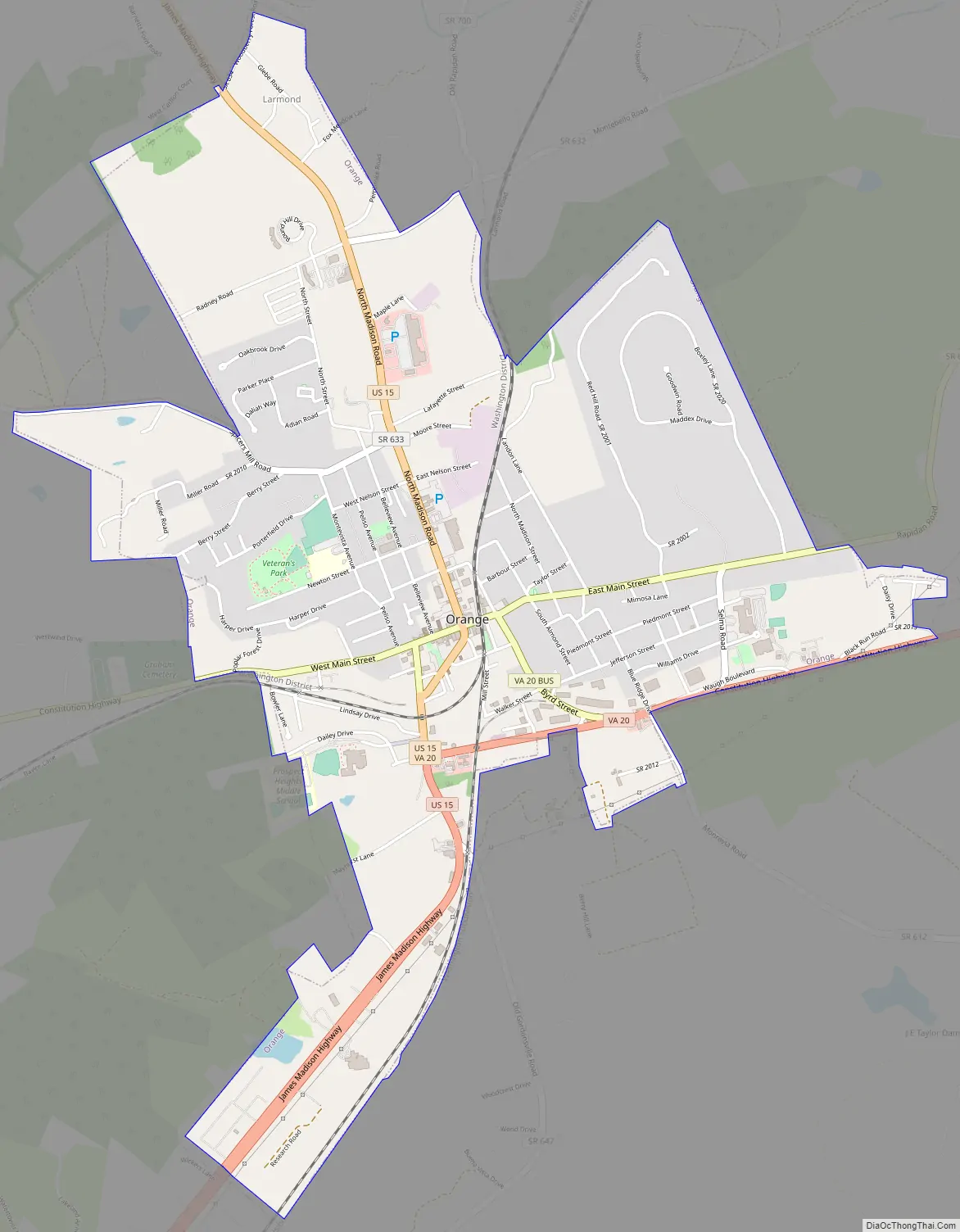
Online Interactive Map
Click on ![]() to view map in "full screen" mode.
to view map in "full screen" mode.
Orange location map. Where is Orange town?
History
This area of the Piedmont was occupied by Siouan-speaking peoples at the time of European encounter. Tribes located in coastal areas generally spoke Algonquian languages.
Pre-Civil War
The present-day Town of Orange was known as the Town of Orange Court House prior to the late 19th century. Following the establishment of Culpeper County from a part of Orange County in 1749, the courthouse was relocated to Orange Court House from elsewhere in the county. The court convened in the house of a man named Timothy Crosthwait until 1752; after Crosthwait deeded the two acres to the county, a new courthouse was constructed on the property. The town at that time consisted of the courthouse and its related public buildings, a few houses and stores, a tavern and little else. The first U.S. Post Office was constructed in the town in 1796. From 1801 to 1804, the courthouse was replaced with a new building, clerk’s office and, later, a new jail.
In 1799, Paul Verdier purchased the property of William Bell, an 18th-century farm that included much of the modern-day Town of Orange adjacent to Main Street, near present-day Bellevue and Peliso avenues. Verdier divided the land into lots, which helped shape the town’s pattern of development. His house, which he named Montpeliso, still stands on the land. Growth continued into the 19th century as new roadways were constructed through the town. Along with expanding agricultural markets, the roads helped transform Orange Court House into a regional center. In 1834, the Virginia General Assembly passed an act allowing the incorporation of the Town of Orange Court House, but the act did not have implementing legislation.
Orange Court House continued growing, with several significant downtown buildings being constructed from this point up to the Civil War, including the Sparks Building (1829) the Holladay House (1830), and the St. Thomas Episcopal Church (1833). These buildings still stand as part of the Orange Commercial Historic District. In 1847, the Orange and Alexandria Railroad chose to route their new railway from Alexandria to Gordonsville through Orange. The county court granted the railroad right-of-way through the courthouse property, which required the courthouse to be moved to another location.
The fourth and current courthouse was completed in 1859 in the Italian Villa architectural style and stands today on the corner of Madison Road and Main Street. It was added to the National Register of Historic Places in 1979. The General Assembly passed an act in 1855 which officially incorporated the Town of Orange Court House, but it did not take effect until a majority of citizens qualified to vote consented, which did not occur until after the Civil War.
Orange was a strategically important location during the American Civil War. Just north of town, the Rapidan River was effectively the northern border of the Confederacy from March 1862 to May 1864. Consequently, the area witnessed countless troop movements, patrols, skirmishes, and encampments. In addition, the Town of Orange served as General Robert E. Lee’s headquarters during that time. General Lee worshipped at the St. Thomas Episcopal Church. This church is also significant as it served as a hospital for Confederate wounded after the Battle of Chancellorsville and the Battle of the Wilderness. Lee passed by this church many times during his stay in Orange. Mort Künstler, an artist of American historical subjects, immortalized this scene in his painting Soldier of Faith. County records dating back to its founding in 1734 were protected by a clerk of court removing them to “a place of safety” as Federal troops were moving through Orange and towards Richmond.
Post-Civil War
Numerous buildings constructed soon after the Civil War stand in the downtown historic district. Following Virginia’s readmission to the Union in 1870, Orange Court House officially became a town in 1872 when the petition (required by the 1855 General Assembly act) for an election of town trustees was filed in the court. The first town council meeting was held on June 28, 1872. In 1890, the village changed its name officially to the current-day Town of Orange.
The economy and population continued to grow up until the time of a fire in 1909, which destroyed most of the eastern portion of town. Like nearby Gordonsville, Orange’s importance as a railroad hub began declining in the early 20th century. Because of its location at the confluence of two major roadways and the establishment of the Orange Automobile Club in 1910, the town became a regional center for automobile sales and services. Its accessibility allowed it to maintain a relatively healthy economy through the Great Depression.
A notable company in Orange during that period was American Silk Mills, Inc., which was established in 1929 and processed raw silk into a finished material. During World War II, the mill was awarded a presidential citation for its production of parachutes for Allied troops. Although much of the mid-20th-century industry moved to other locations, the population of Orange has grown steadily up through the 2010 census.
As of September 2013, Orange County contained 33 places listed on the National Register of Historic Places, seven of which are within the Town of Orange.
Orange Road Map
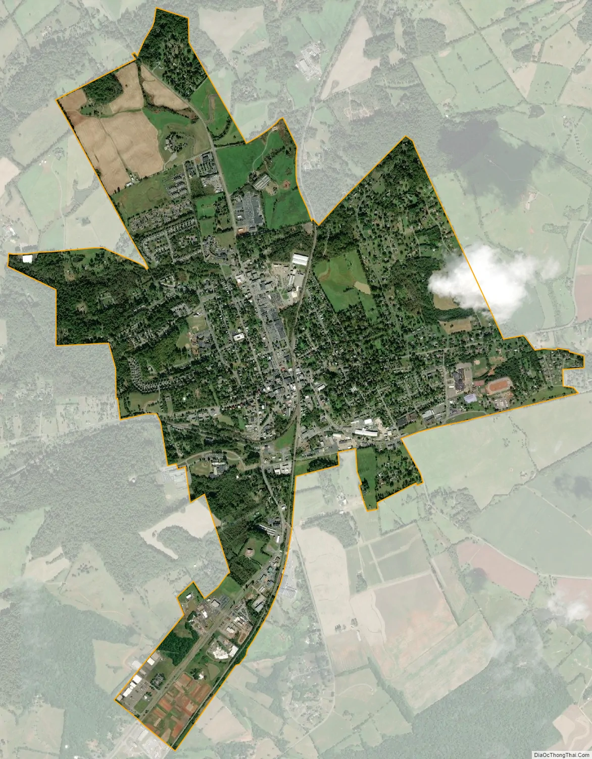
Orange city Satellite Map
Geography
Orange is located at 38°14′45″N 78°6′35″W / 38.24583°N 78.10972°W / 38.24583; -78.10972 (38.245894, −78.109786).
According to the United States Census Bureau, the town has a total area of 3.32 square miles (8.60 km), of which 3.31 square miles (8.56 km) is land and 0.02 square miles (0.04 km), or 0.49%, is water.
Climate
See also
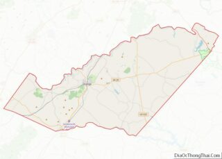
Map of Virginia State and its subdivision:- Accomack
- Albemarle
- Alexandria
- Alleghany
- Amelia
- Amherst
- Appomattox
- Arlington
- Augusta
- Bath
- Bedford
- Bedford City
- Bland
- Botetourt
- Bristol
- Brunswick
- Buchanan
- Buckingham
- Buena Vista
- Campbell
- Caroline
- Carroll
- Charles City
- Charlotte
- Charlottesville
- Chesapeake
- Chesterfield
- Clarke
- Clifton Forge City
- Colonial Heights
- Covington
- Craig
- Culpeper
- Cumberland
- Danville
- Dickenson
- Dinwiddie
- Emporia
- Essex
- Fairfax
- Fairfax City
- Falls Church
- Fauquier
- Floyd
- Fluvanna
- Franklin
- Frederick
- Fredericksburg
- Galax
- Giles
- Gloucester
- Goochland
- Grayson
- Greene
- Greensville
- Halifax
- Hampton
- Hanover
- Harrisonburg
- Henrico
- Henry
- Highland
- Hopewell
- Isle of Wight
- James City
- King and Queen
- King George
- King William
- Lancaster
- Lee
- Lexington
- Loudoun
- Louisa
- Lunenburg
- Lynchburg
- Madison
- Manassas
- Manassas Park
- Martinsville
- Mathews
- Mecklenburg
- Middlesex
- Montgomery
- Nelson
- New Kent
- Newport News
- Norfolk
- Northampton
- Northumberland
- Norton
- Nottoway
- Orange
- Page
- Patrick
- Petersburg
- Pittsylvania
- Poquoson
- Portsmouth
- Powhatan
- Prince Edward
- Prince George
- Prince William
- Pulaski
- Radford
- Rappahannock
- Richmond
- Roanoke
- Roanoke City
- Rockbridge
- Rockingham
- Russell
- Salem
- Scott
- Shenandoah
- Smyth
- Southampton
- Spotsylvania
- Stafford
- Staunton
- Suffolk
- Surry
- Sussex
- Tazewell
- Virginia Beach
- Warren
- Washington
- Waynesboro
- Westmoreland
- Williamsburg
- Winchester
- Wise
- Wythe
- York
- Alabama
- Alaska
- Arizona
- Arkansas
- California
- Colorado
- Connecticut
- Delaware
- District of Columbia
- Florida
- Georgia
- Hawaii
- Idaho
- Illinois
- Indiana
- Iowa
- Kansas
- Kentucky
- Louisiana
- Maine
- Maryland
- Massachusetts
- Michigan
- Minnesota
- Mississippi
- Missouri
- Montana
- Nebraska
- Nevada
- New Hampshire
- New Jersey
- New Mexico
- New York
- North Carolina
- North Dakota
- Ohio
- Oklahoma
- Oregon
- Pennsylvania
- Rhode Island
- South Carolina
- South Dakota
- Tennessee
- Texas
- Utah
- Vermont
- Virginia
- Washington
- West Virginia
- Wisconsin
- Wyoming