Map of Albany village, Vermont
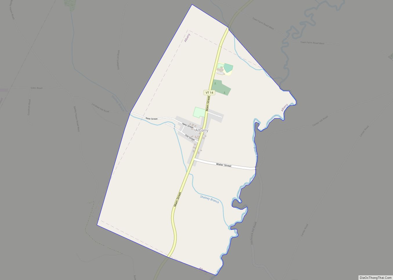
Albany is a town in Orleans County, Vermont, United States. The population was 976 at the 2020 census. Albany contains four villages: the incorporated village of Albany, and the unincorporated villages of Albany Center, East Albany and South Albany. Albany village overview: Name: Albany village LSAD Code: 47 LSAD Description: village (suffix) State: Vermont County: ... Read more
Map of Albany village, Vermont
Map of Tutu CDP
Tutu CDP overview: Name: Tutu CDP LSAD Code: 57 LSAD Description: CDP (suffix) FIPS code: 7878300 Online Interactive Map Tutu online map. Source: Basemap layers from Google Map, Open Street Map (OSM), Arcgisonline, Wmflabs. Boundary Data from Database of Global Administrative Areas. Tutu location map. Where is Tutu CDP? Tutu Road Map Tutu city Satellite ... Read more
Map of Tutu CDP
Map of Red Hook CDP, Virgin Islands
Red Hook CDP overview: Name: Red Hook CDP LSAD Code: 57 LSAD Description: CDP (suffix) FIPS code: 7865530 Online Interactive Map Red Hook online map. Source: Basemap layers from Google Map, Open Street Map (OSM), Arcgisonline, Wmflabs. Boundary Data from Database of Global Administrative Areas. Red Hook location map. Where is Red Hook CDP? Red ... Read more
Map of Red Hook CDP, Virgin Islands
Map of Frederiksted town
Frederiksted town overview: Name: Frederiksted town LSAD Code: 43 LSAD Description: town (suffix) FIPS code: 7837900 Online Interactive Map Frederiksted online map. Source: Basemap layers from Google Map, Open Street Map (OSM), Arcgisonline, Wmflabs. Boundary Data from Database of Global Administrative Areas. Frederiksted location map. Where is Frederiksted town? Frederiksted Road Map Frederiksted city Satellite ... Read more
Map of Frederiksted town
Map of Frederiksted Southeast CDP
Frederiksted Southeast CDP overview: Name: Frederiksted Southeast CDP LSAD Code: 57 LSAD Description: CDP (suffix) FIPS code: 7839700 Online Interactive Map Frederiksted Southeast online map. Source: Basemap layers from Google Map, Open Street Map (OSM), Arcgisonline, Wmflabs. Boundary Data from Database of Global Administrative Areas. Frederiksted Southeast location map. Where is Frederiksted Southeast CDP? Frederiksted ... Read more
Map of Frederiksted Southeast CDP
Map of Cruz Bay CDP
Cruz Bay CDP overview: Name: Cruz Bay CDP LSAD Code: 57 LSAD Description: CDP (suffix) FIPS code: 7828000 Online Interactive Map Cruz Bay online map. Source: Basemap layers from Google Map, Open Street Map (OSM), Arcgisonline, Wmflabs. Boundary Data from Database of Global Administrative Areas. Cruz Bay location map. Where is Cruz Bay CDP? Cruz ... Read more
Map of Cruz Bay CDP
Map of Coral Bay CDP
Coral Bay CDP overview: Name: Coral Bay CDP LSAD Code: 57 LSAD Description: CDP (suffix) FIPS code: 7827000 Online Interactive Map Coral Bay online map. Source: Basemap layers from Google Map, Open Street Map (OSM), Arcgisonline, Wmflabs. Boundary Data from Database of Global Administrative Areas. Coral Bay location map. Where is Coral Bay CDP? Coral ... Read more
Map of Coral Bay CDP
Map of Bellows Falls village
Bellows Falls village overview: Name: Bellows Falls village LSAD Code: 47 LSAD Description: village (suffix) State: Vermont County: Windham County FIPS code: 5004225 Online Interactive Map Bellows Falls online map. Source: Basemap layers from Google Map, Open Street Map (OSM), Arcgisonline, Wmflabs. Boundary Data from Database of Global Administrative Areas. Bellows Falls location map. Where ... Read more
Map of Bellows Falls village
Map of Beecher Falls CDP
Beecher Falls is a census-designated place in the town of Canaan, Essex County, Vermont, United States. Beecher Falls is located on the Connecticut River across from Stewartstown, New Hampshire, in the northeast corner of Vermont. Its population was 177 as of the 2010 census. Beecher Falls CDP overview: Name: Beecher Falls CDP LSAD Code: 57 ... Read more
Map of Beecher Falls CDP
Map of Barton village, Vermont
Barton is a town in Orleans County, Vermont, United States. The population was 2,872 at the 2020 census. The town includes two incorporated villages, Barton and Orleans. Approximately a quarter of the town’s population lives in each of the villages, and approximately half lives outside the villages. Only four other towns in the state contain ... Read more
Map of Barton village, Vermont
Map of Barre city, Vermont
Barre (/ˈbæri/ BARR-ee) is a town in Washington County, Vermont, United States. The population was 7,923 at the 2020 census, making it the 3rd largest municipality in Washington County and the 16th largest municipality in Vermont. Popularly referred to as “Barre Town”, the town of Barre almost completely surrounds “Barre City”, which is a separate ... Read more
Map of Barre city, Vermont
Map of Barnet CDP
Barnet is the primary village and a census-designated place (CDP) in the town of Barnet, Caledonia County, Vermont, United States. As of the 2020 census, the CDP had a population of 127, out of 1,663 in the entire town of Barnet. The village is in southeastern Caledonia County, along the southeast edge of the town ... Read more
Map of Barnet CDP