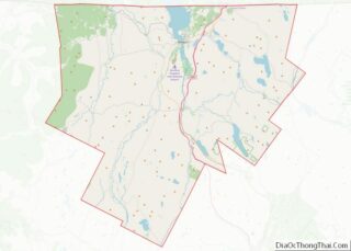
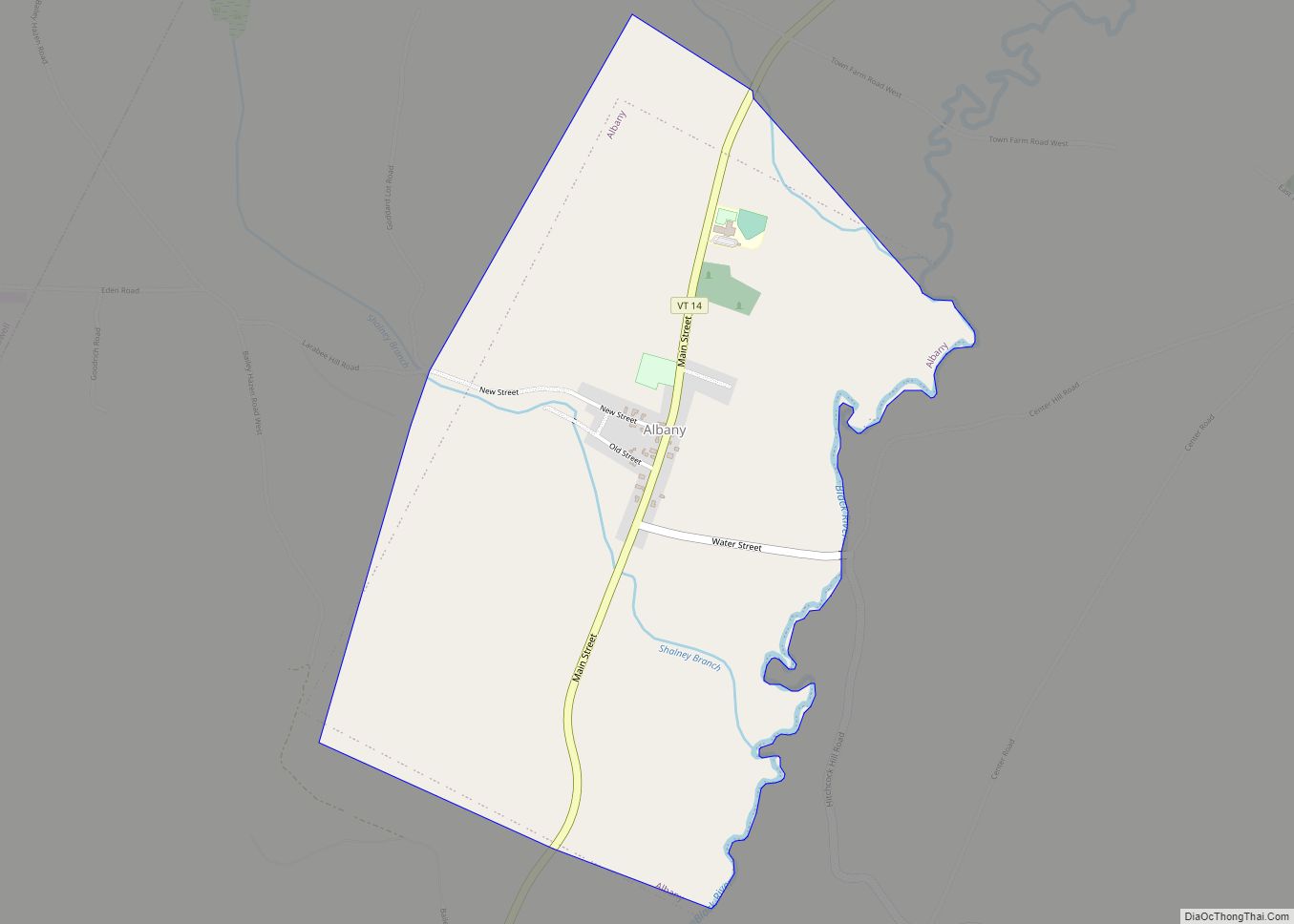
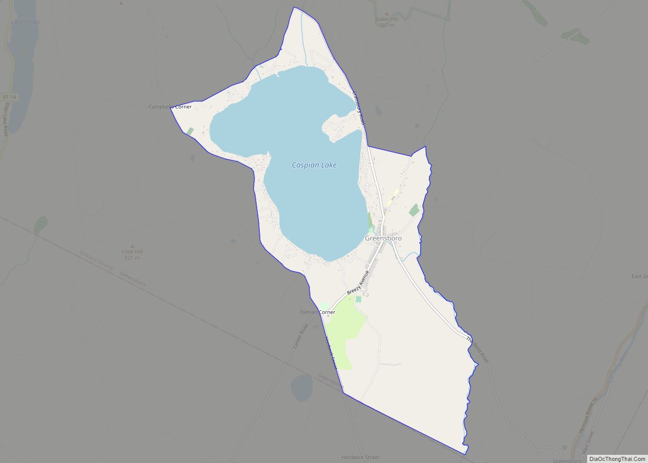
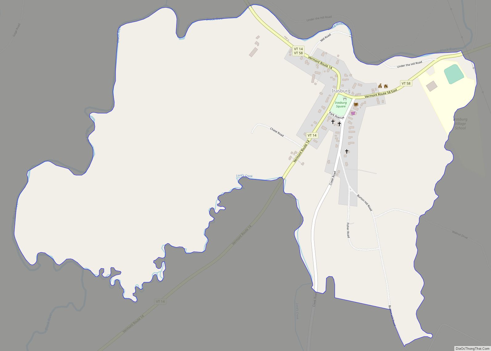
Albany is a town in Orleans County, Vermont, United States. The population was 976 at the 2020 census. Albany contains four villages: the incorporated village of Albany, and the unincorporated villages of Albany Center, East Albany and South Albany.
| Name: | Albany village |
|---|---|
| LSAD Code: | 47 |
| LSAD Description: | village (suffix) |
| State: | Vermont |
| County: | Orleans County |
| Elevation: | 956 ft (371 m) |
| Total Area: | 38.7 sq mi (100.2 km²) |
| Land Area: | 38.5 sq mi (99.7 km²) |
| Water Area: | 0.2 sq mi (0.5 km²) |
| Total Population: | 976 |
| Population Density: | 25/sq mi (9.8/km²) |
| ZIP code: | 05820 |
| Area code: | 802 |
| FIPS code: | 5000400 |
| GNISfeature ID: | 1462024 |
Online Interactive Map
Click on ![]() to view map in "full screen" mode.
to view map in "full screen" mode.
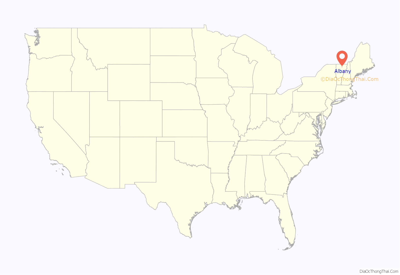
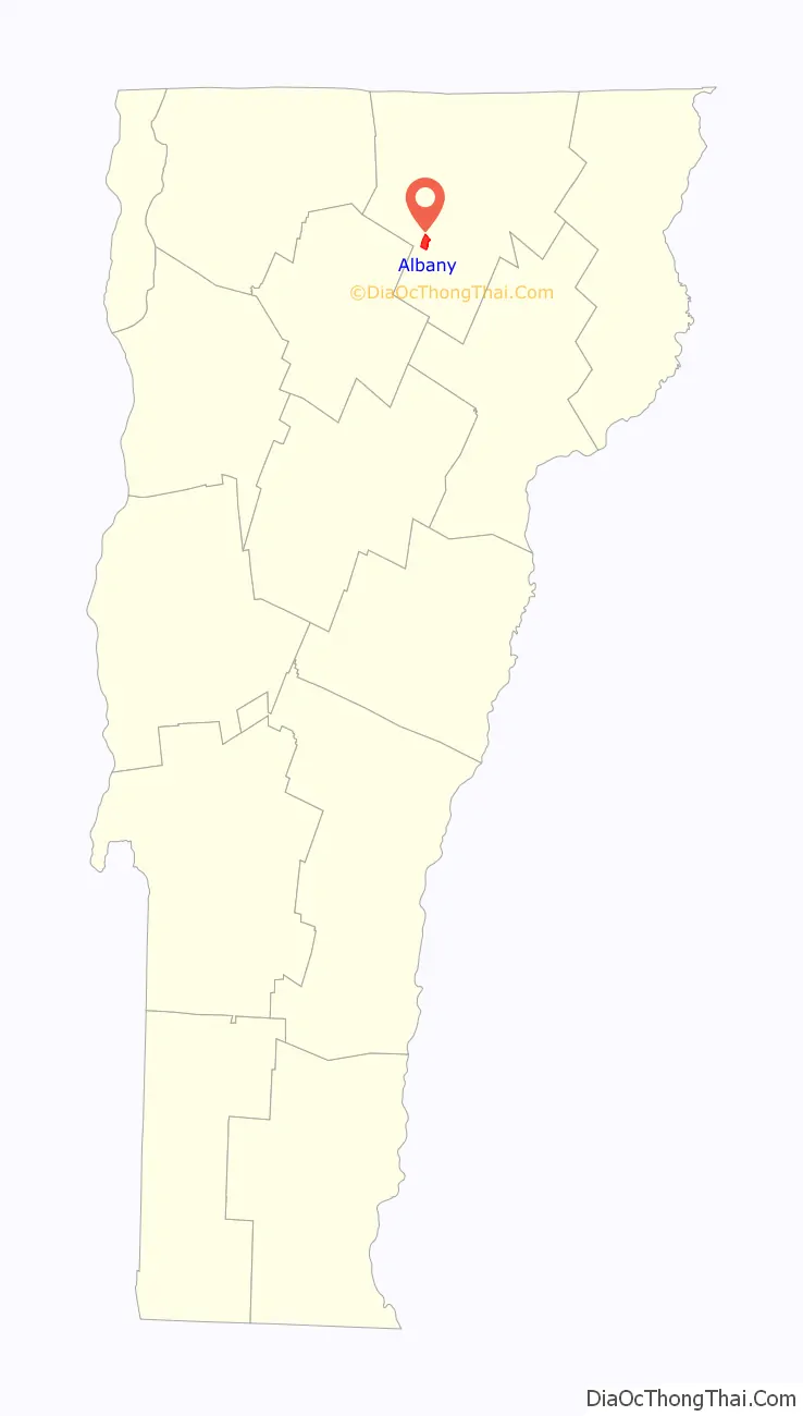
Albany location map. Where is Albany village?
History
The original land grant was given to Col. Antipas Gilman and associates on June 26, 1782 and was named “Lutterloh.” In 1815, the name of the town was changed to “Albany.”
Albany resident Rev. George Putnam was an Underground Railroad agent before the Civil War.
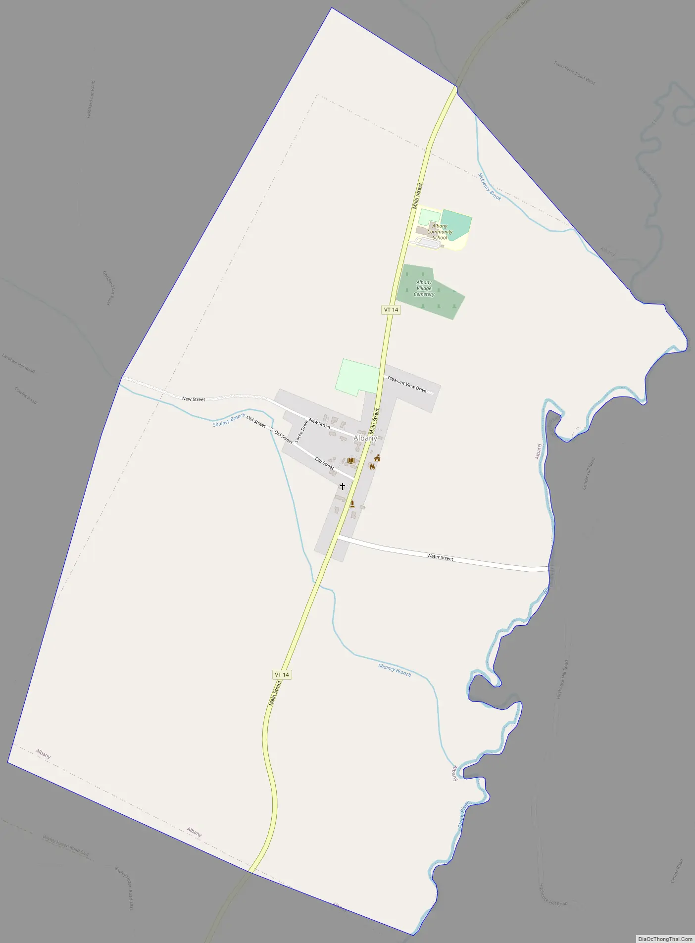
Albany Road Map
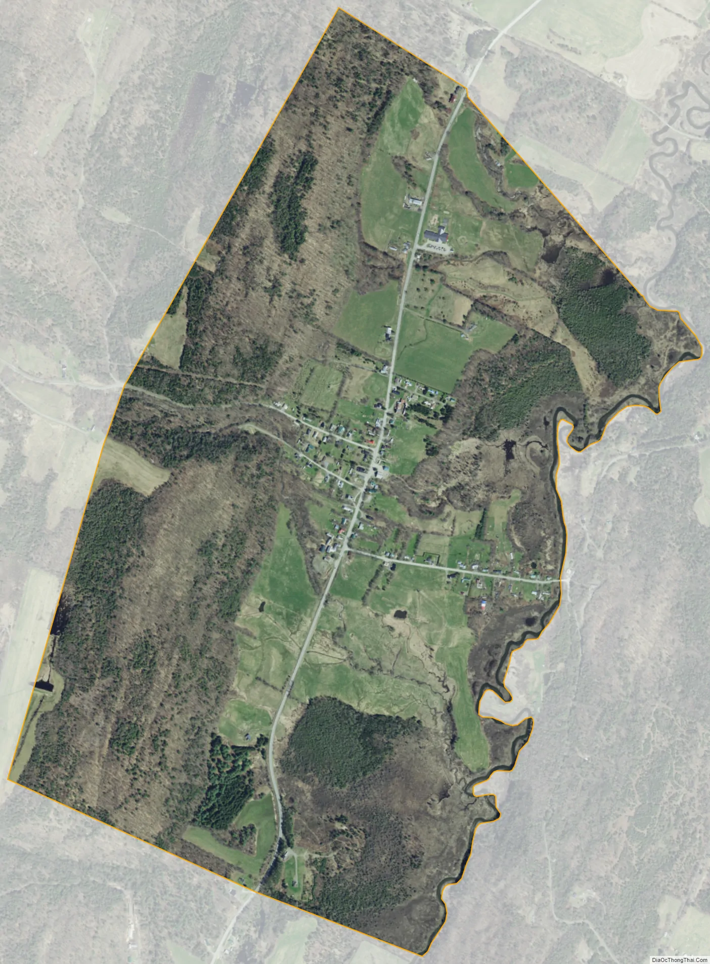
Albany city Satellite Map
Geography
According to the United States Census Bureau, the town has a total area of 38.7 square miles (100.2 km), of which 38.5 square miles (99.7 km) is land and 0.2 square mile (0.5 km) (0.52%) is water.
The town is hilly and uneven. The highest point in town is in the northwestern part of the township, which is cut off from the main chain of the Green Mountains by a brook. Lord’s Creek flows north through the eastern part of the township, having several tributaries. There are other minor streams in town. There are also several ponds, the principal of which are Great Hosmer, Hartwell, Page, Heart, and Duck ponds.
The Black River flows north through Albany Village, crosses under the Water Street Bridge before emptying into Lake Memphremagog near Newport, Vermont, which is part of the St. Lawrence River Basin.
The rocks entering into the geological formation of the town are disposed in parallel ranges extending north and south. The westernmost of these contains a bed of talcose schist. Next is a narrow range of Upper Helderberg limestone, followed by a vein of clay slate, the residue of the territory being calciferous mica schist. In the central and eastern parts of the town there are several rich beds of muck and shell marl. There are also some ledges of granite rocks.
See also
Map of Vermont State and its subdivision: Map of other states:- Alabama
- Alaska
- Arizona
- Arkansas
- California
- Colorado
- Connecticut
- Delaware
- District of Columbia
- Florida
- Georgia
- Hawaii
- Idaho
- Illinois
- Indiana
- Iowa
- Kansas
- Kentucky
- Louisiana
- Maine
- Maryland
- Massachusetts
- Michigan
- Minnesota
- Mississippi
- Missouri
- Montana
- Nebraska
- Nevada
- New Hampshire
- New Jersey
- New Mexico
- New York
- North Carolina
- North Dakota
- Ohio
- Oklahoma
- Oregon
- Pennsylvania
- Rhode Island
- South Carolina
- South Dakota
- Tennessee
- Texas
- Utah
- Vermont
- Virginia
- Washington
- West Virginia
- Wisconsin
- Wyoming