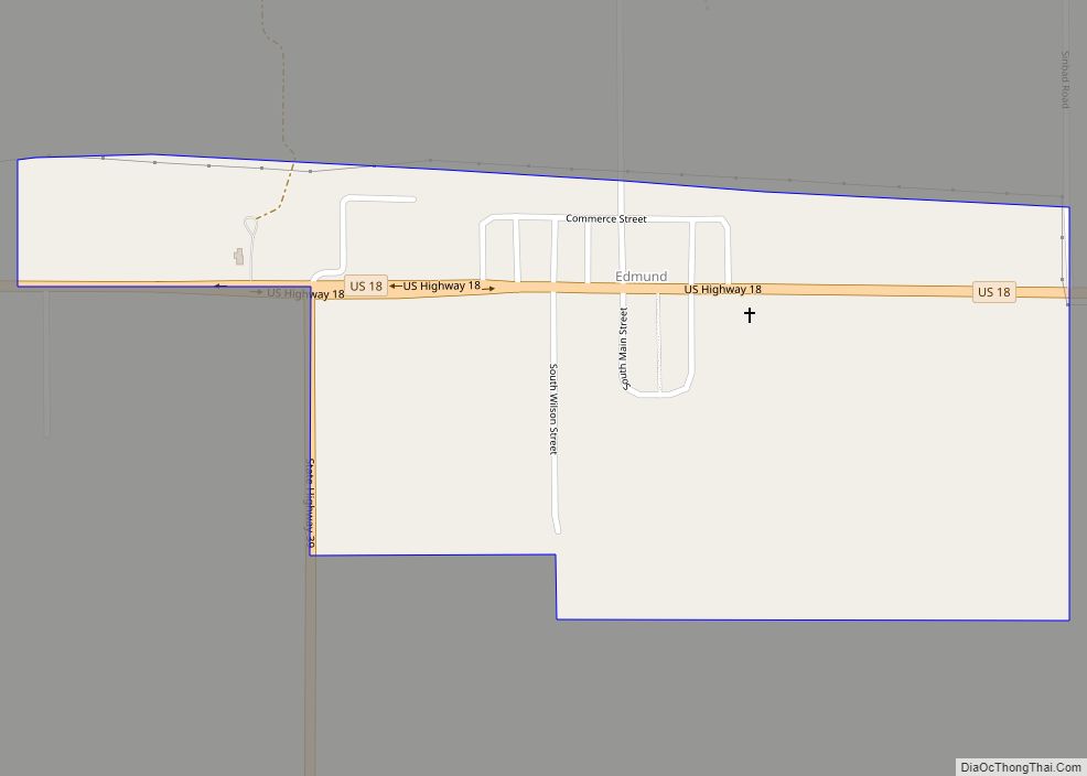
Edmund is a census-designated place (CDP) in the Town of Linden in Iowa County, Wisconsin, United States. Edmund CDP overview: Name: Edmund CDP LSAD Code: 57 LSAD Description: CDP (suffix) State: Wisconsin County: Iowa County Elevation: 1,204 ft (367 m) Total Area: 0.342 sq mi (0.89 km²) Land Area: 0.342 sq mi (0.89 km²) Water Area: 0 sq mi (0 km²) Total Population: 173 Population Density: ... Read more
Map of US Cities and Places
Florence is a census-designated place in and the county seat of Florence County, Wisconsin, United States. Florence is located in northern Florence County, in the town of Florence. Florence has a post office with ZIP code 54121. The community was named a census-designated place in 2010. As of the 2010 census, its population was 592. ... Read more
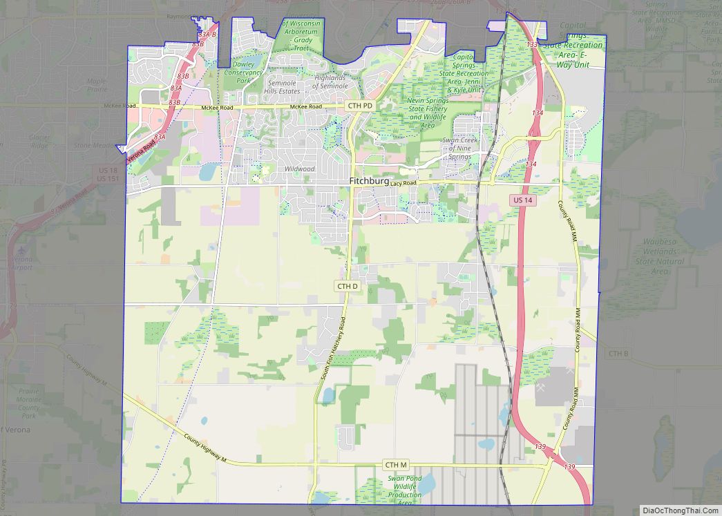
Fitchburg is a city in Dane County, Wisconsin, United States. The population was 29,609 at the 2020 census. Fitchburg is a suburb of Madison and is part of the Madison Metropolitan Statistical Area. Fitchburg consists of a mix of suburban neighborhoods closer to the border with the city of Madison, commercial and industrial properties, and ... Read more
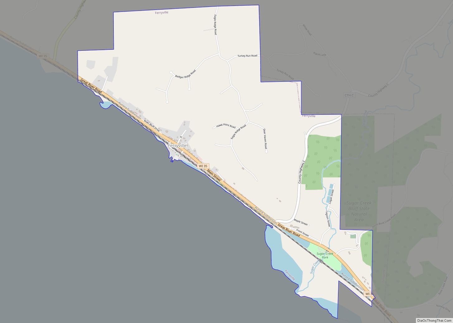
Ferryville is a village in Crawford County, Wisconsin, United States. The population was 176 at the 2010 census. It is located on Wisconsin Highway 35 along the Great River Road. Ferryville village overview: Name: Ferryville village LSAD Code: 47 LSAD Description: village (suffix) State: Wisconsin County: Crawford County Elevation: 646 ft (197 m) Total Area: 1.99 sq mi (5.15 km²) ... Read more
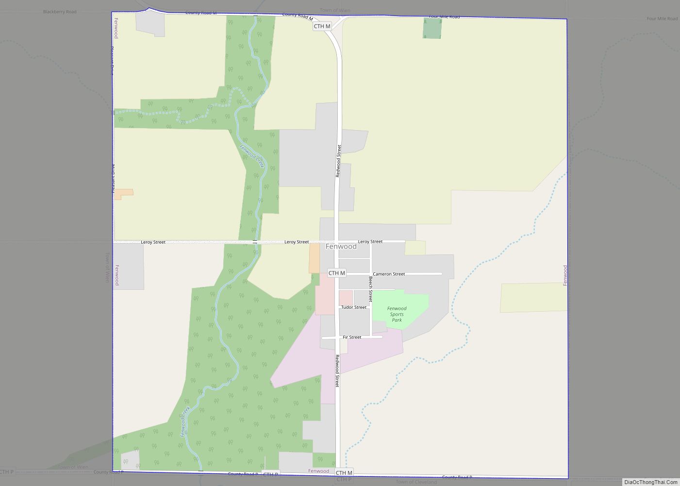
Fenwood is a village in Marathon County, Wisconsin, United States. It is part of the Wausau, Wisconsin Metropolitan Statistical Area. The population was 152 at the 2010 census. Fenwood village overview: Name: Fenwood village LSAD Code: 47 LSAD Description: village (suffix) State: Wisconsin County: Marathon County Elevation: 1,296 ft (395 m) Total Area: 0.98 sq mi (2.55 km²) Land Area: ... Read more
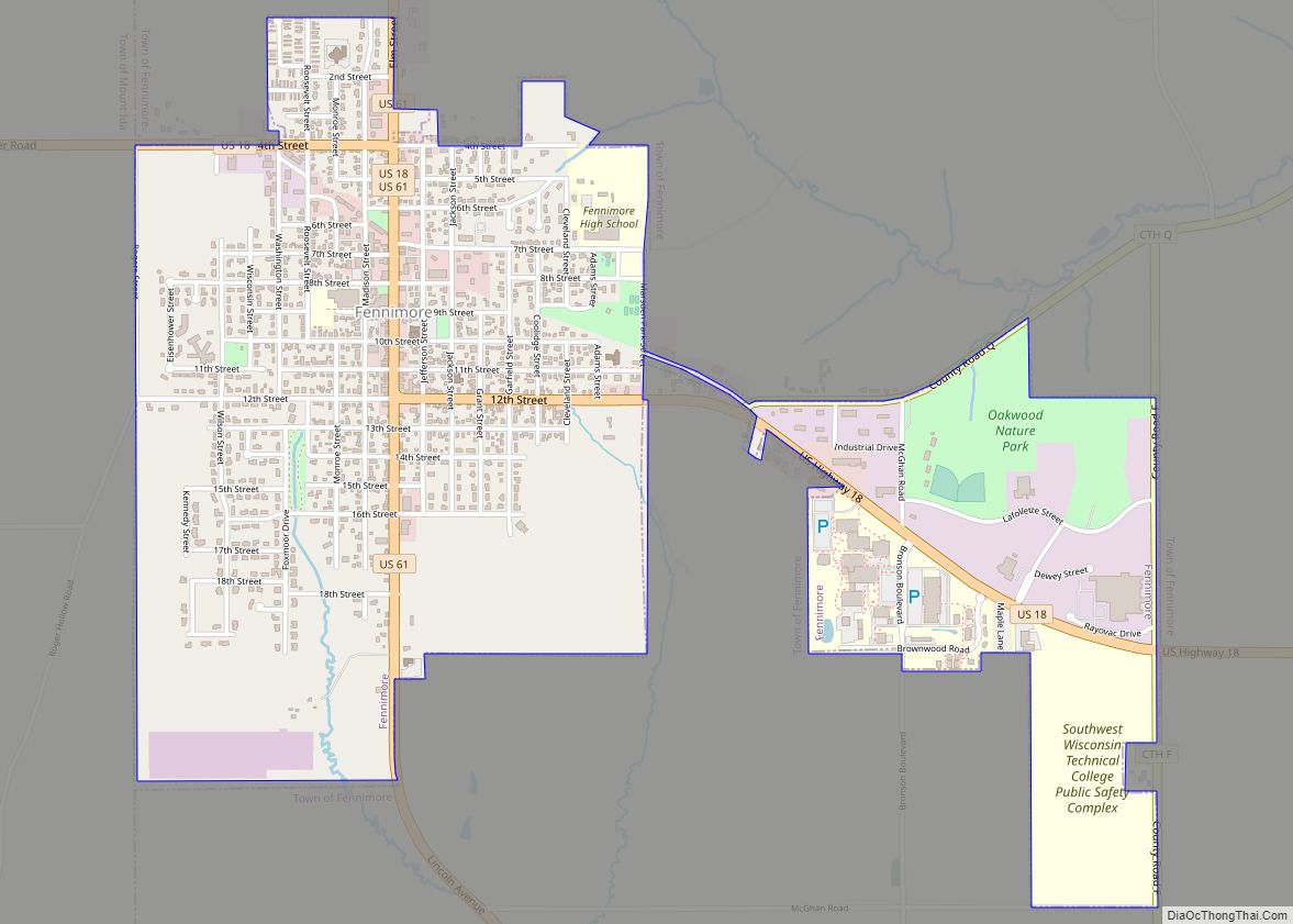
Fennimore is a city in Grant County, Wisconsin, United States. The population was 2,497 at the 2010 census. The city’s area was separated from the Town of Fennimore, which remains as an adjacent rural area. Fennimore city overview: Name: Fennimore city LSAD Code: 25 LSAD Description: city (suffix) State: Wisconsin County: Grant County Elevation: 1,194 ft ... Read more
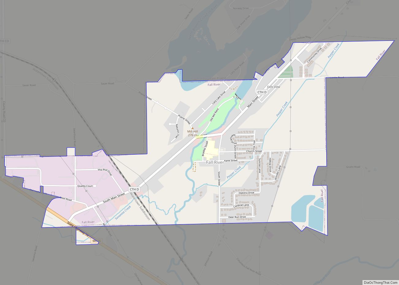
Fall River is a village in Columbia County, Wisconsin, United States, along the North Fork of the Crawfish River. The population was 1,712 at the 2010 census. It is part of the Madison Metropolitan Statistical Area. Fall River village overview: Name: Fall River village LSAD Code: 47 LSAD Description: village (suffix) State: Wisconsin County: Columbia ... Read more
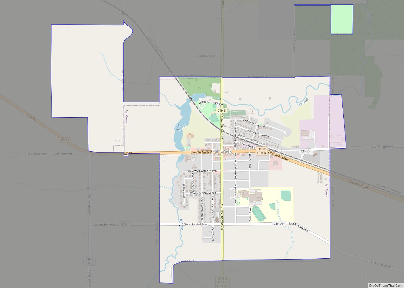
Fall Creek is a village in Eau Claire County, Wisconsin, United States. The population was 1,315 at the 2010 census. The village is bordered by the Town of Lincoln. Fall Creek village overview: Name: Fall Creek village LSAD Code: 47 LSAD Description: village (suffix) State: Wisconsin County: Eau Claire County Elevation: 938 ft (286 m) Total Area: ... Read more
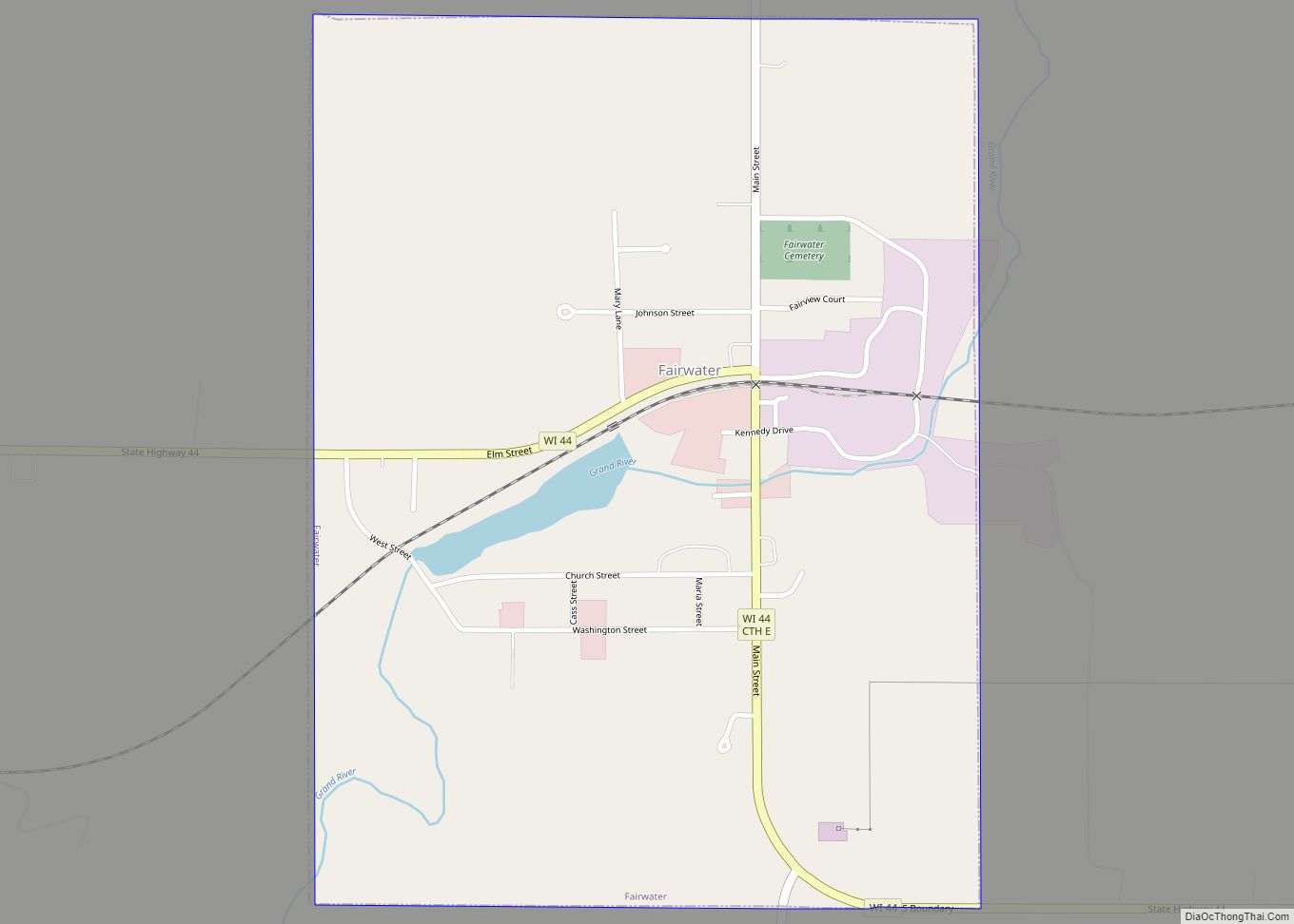
Fairwater is a village in Fond du Lac County, Wisconsin, United States. The population was 371 at the 2010 census. The town of Metomen surrounds the village. Fairwater village overview: Name: Fairwater village LSAD Code: 47 LSAD Description: village (suffix) State: Wisconsin County: Fond du Lac County Elevation: 948 ft (289 m) Total Area: 0.75 sq mi (1.95 km²) Land ... Read more
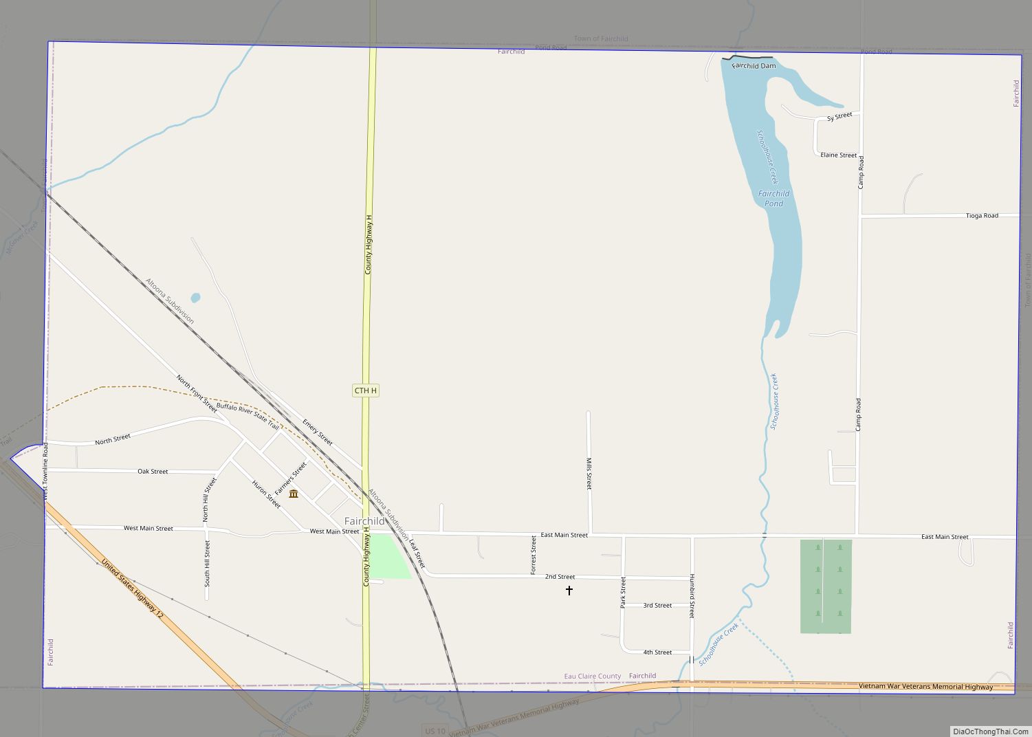
Fairchild is a town in Eau Claire County, Wisconsin, United States. The population was 351 at the 2000 census. The Village of Fairchild is located within the town. Fairchild village overview: Name: Fairchild village LSAD Code: 47 LSAD Description: village (suffix) State: Wisconsin County: Eau Claire County FIPS code: 5524825 Online Interactive Map Fairchild online ... Read more
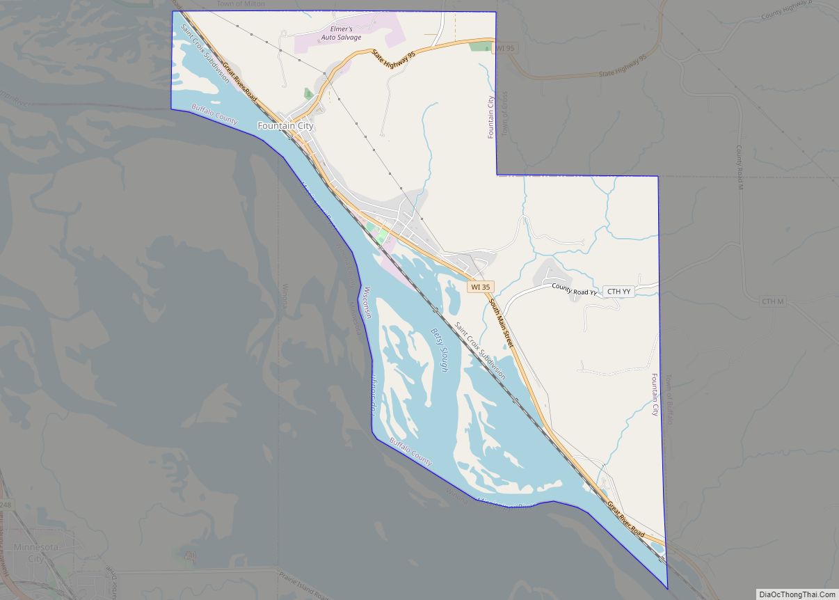
Fountain City is a small city bordering the Mississippi River in Buffalo County, Wisconsin, United States. The population was 859 at the 2010 census. Fountain City city overview: Name: Fountain City city LSAD Code: 25 LSAD Description: city (suffix) State: Wisconsin County: Buffalo County Elevation: 669 ft (204 m) Total Area: 5.52 sq mi (14.30 km²) Land Area: 4.38 sq mi (11.33 km²) ... Read more
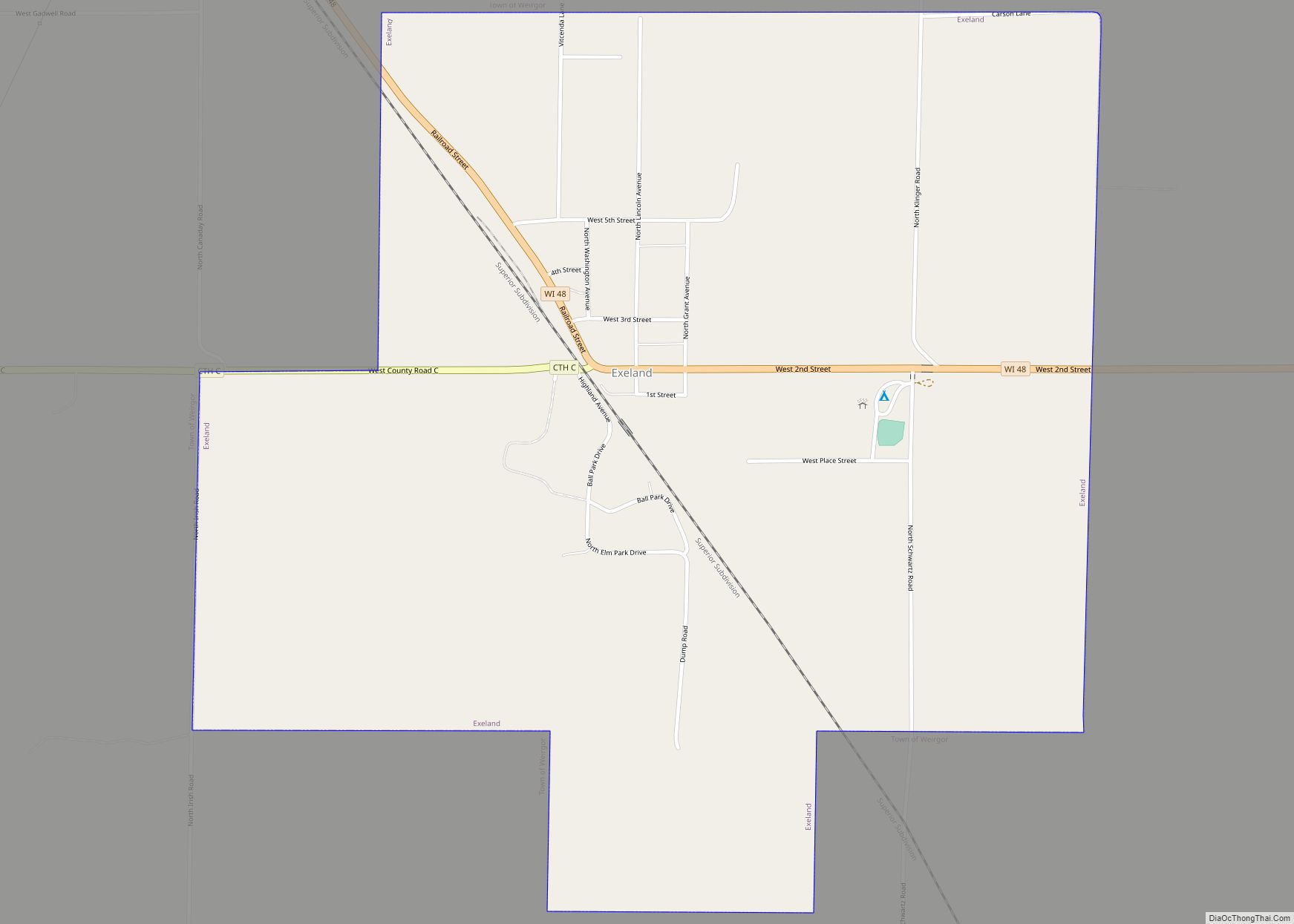
Exeland is a village in Sawyer County, Wisconsin, United States. The population was 196 at the 2010 census. Exeland village overview: Name: Exeland village LSAD Code: 47 LSAD Description: village (suffix) State: Wisconsin County: Sawyer County Elevation: 1,198 ft (365 m) Total Area: 1.22 sq mi (3.17 km²) Land Area: 1.20 sq mi (3.11 km²) Water Area: 0.02 sq mi (0.06 km²) Total Population: 196 Population ... Read more
