Fitchburg is a city in Dane County, Wisconsin, United States. The population was 29,609 at the 2020 census. Fitchburg is a suburb of Madison and is part of the Madison Metropolitan Statistical Area. Fitchburg consists of a mix of suburban neighborhoods closer to the border with the city of Madison, commercial and industrial properties, and more rural properties in the southern portion of the city. Despite its status as an incorporated city, some rural parts of Fitchburg still lack certain municipal services such as sewer, water, and natural gas.
| Name: | Fitchburg city |
|---|---|
| LSAD Code: | 25 |
| LSAD Description: | city (suffix) |
| State: | Wisconsin |
| County: | Dane County |
| Total Area: | 35.16 sq mi (91.06 km²) |
| Land Area: | 34.92 sq mi (90.44 km²) |
| Water Area: | 0.24 sq mi (0.62 km²) |
| Total Population: | 29,609 |
| Population Density: | 881.79/sq mi (340.46/km²) |
| Area code: | 608 |
| FIPS code: | 5525950 |
| Website: | fitchburgwi.gov |
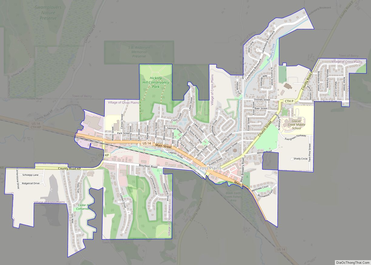
Online Interactive Map
Click on ![]() to view map in "full screen" mode.
to view map in "full screen" mode.
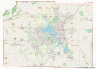
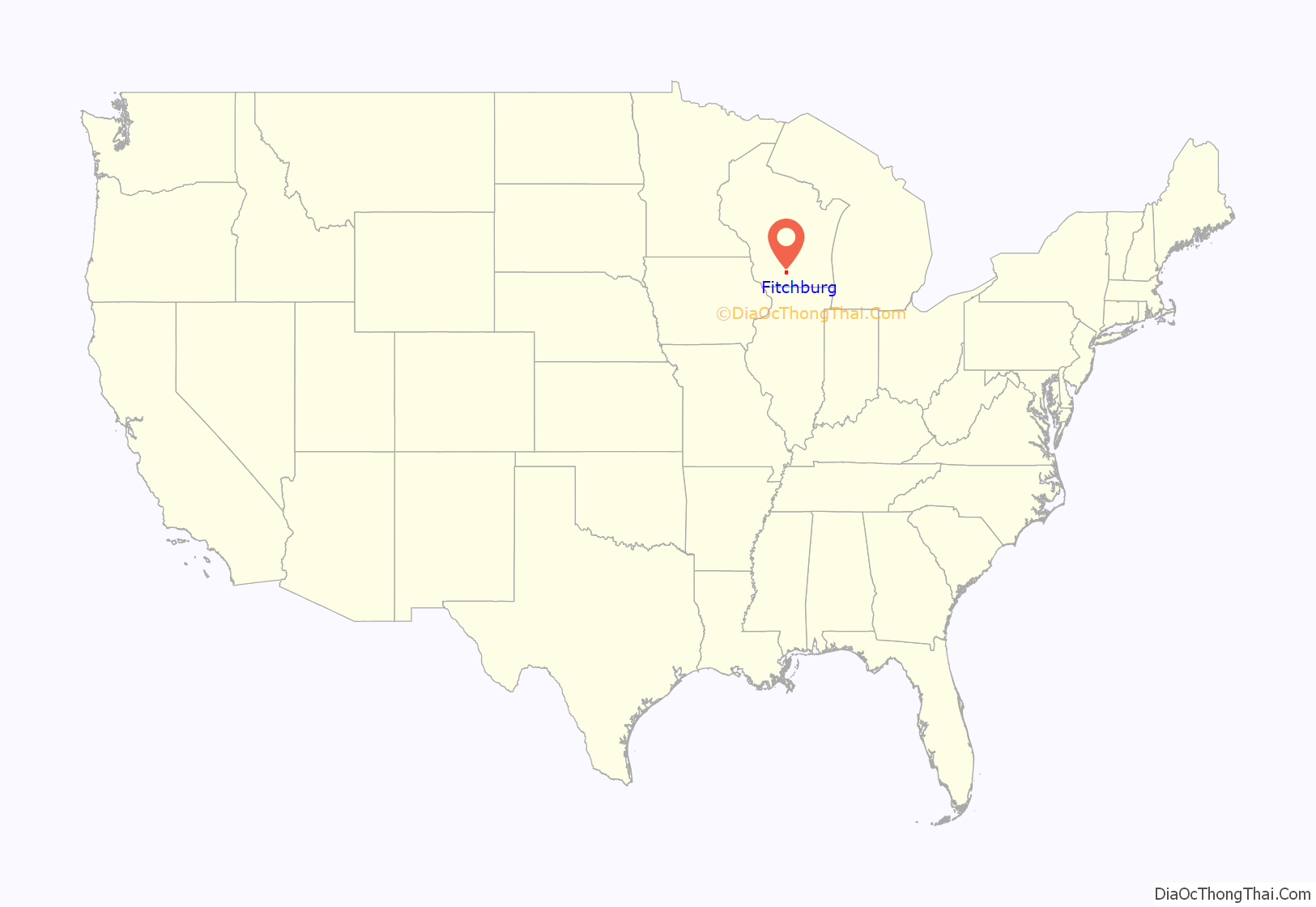
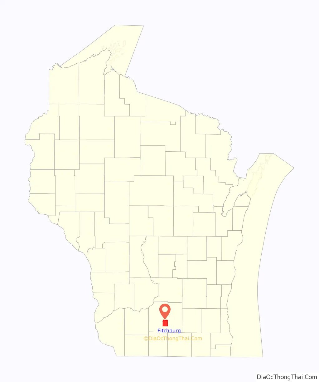
Fitchburg location map. Where is Fitchburg city?
History
Fitchburg was a town until its incorporation as a city on April 26, 1983. Dutch immigrant brothers Vroman are claimed to be the first permanent settlers of Greenfield, then changed to Fitchburg to avoid confusion with Greenfield, Milwaukee county. A significant number of Irish families settled in Fitchburg as well. As the city of Madison began to encroach upon the town of Fitchburg via annexation, the town pursued incorporation as a city to halt Madison’s expansion into the town. The fight to allow incorporation ultimately went to the Wisconsin State Supreme Court, which ruled that Fitchburg could incorporate as a city.
Former unincorporated communities
- Fitchburg Center
- Oak Hall
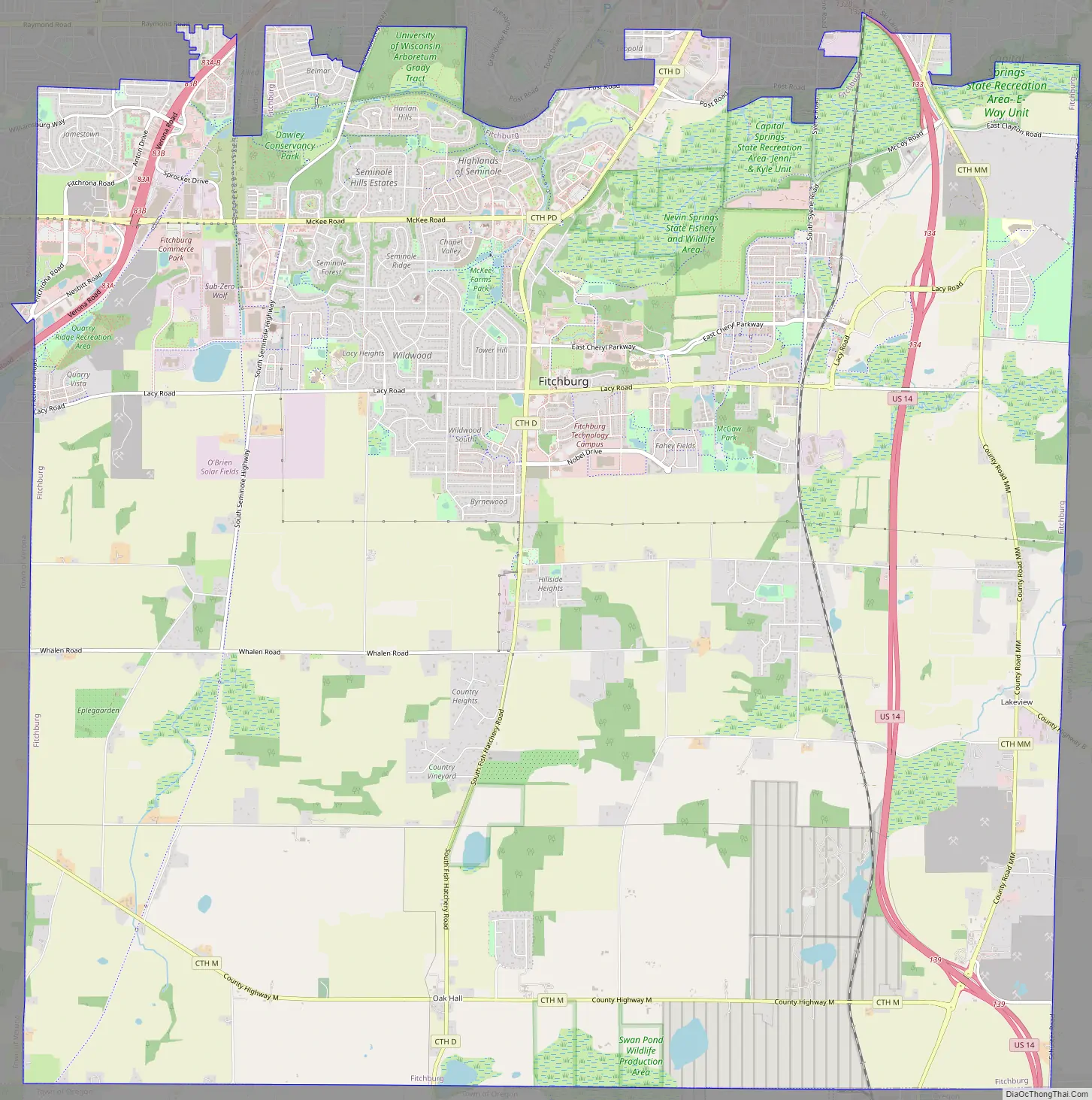
Fitchburg Road Map
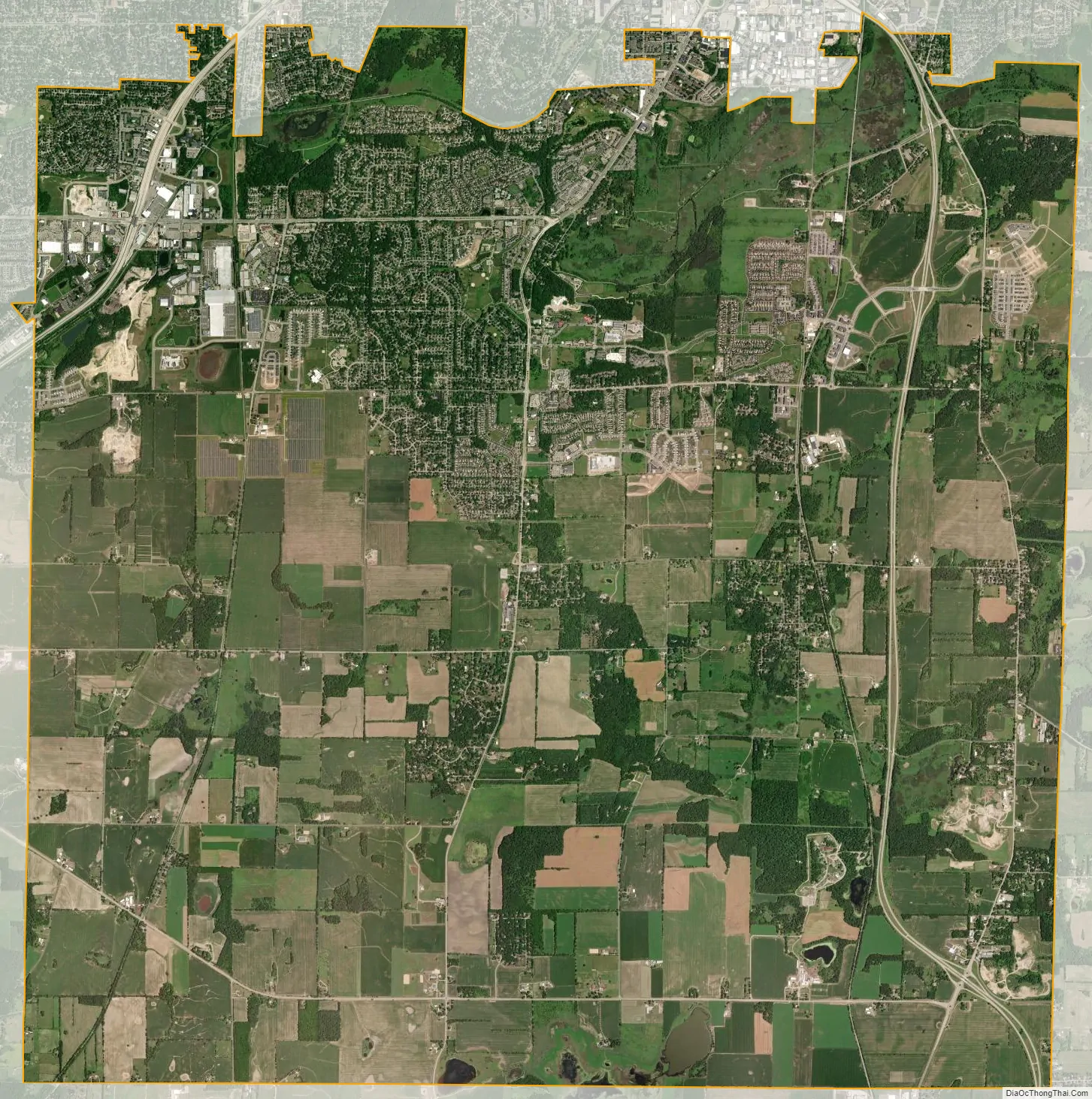
Fitchburg city Satellite Map
Geography
According to the United States Census Bureau, the city has a total area of 35.21 square miles (91.19 km), of which, 34.97 square miles (90.57 km) is land and 0.24 square miles (0.62 km) is water.
See also
Map of Wisconsin State and its subdivision:- Adams
- Ashland
- Barron
- Bayfield
- Brown
- Buffalo
- Burnett
- Calumet
- Chippewa
- Clark
- Columbia
- Crawford
- Dane
- Dodge
- Door
- Douglas
- Dunn
- Eau Claire
- Florence
- Fond du Lac
- Forest
- Grant
- Green
- Green Lake
- Iowa
- Iron
- Jackson
- Jefferson
- Juneau
- Kenosha
- Kewaunee
- La Crosse
- Lafayette
- Lake Michigan
- Lake Superior
- Langlade
- Lincoln
- Manitowoc
- Marathon
- Marinette
- Marquette
- Menominee
- Milwaukee
- Monroe
- Oconto
- Oneida
- Outagamie
- Ozaukee
- Pepin
- Pierce
- Polk
- Portage
- Price
- Racine
- Richland
- Rock
- Rusk
- Saint Croix
- Sauk
- Sawyer
- Shawano
- Sheboygan
- Taylor
- Trempealeau
- Vernon
- Vilas
- Walworth
- Washburn
- Washington
- Waukesha
- Waupaca
- Waushara
- Winnebago
- Wood
- Alabama
- Alaska
- Arizona
- Arkansas
- California
- Colorado
- Connecticut
- Delaware
- District of Columbia
- Florida
- Georgia
- Hawaii
- Idaho
- Illinois
- Indiana
- Iowa
- Kansas
- Kentucky
- Louisiana
- Maine
- Maryland
- Massachusetts
- Michigan
- Minnesota
- Mississippi
- Missouri
- Montana
- Nebraska
- Nevada
- New Hampshire
- New Jersey
- New Mexico
- New York
- North Carolina
- North Dakota
- Ohio
- Oklahoma
- Oregon
- Pennsylvania
- Rhode Island
- South Carolina
- South Dakota
- Tennessee
- Texas
- Utah
- Vermont
- Virginia
- Washington
- West Virginia
- Wisconsin
- Wyoming