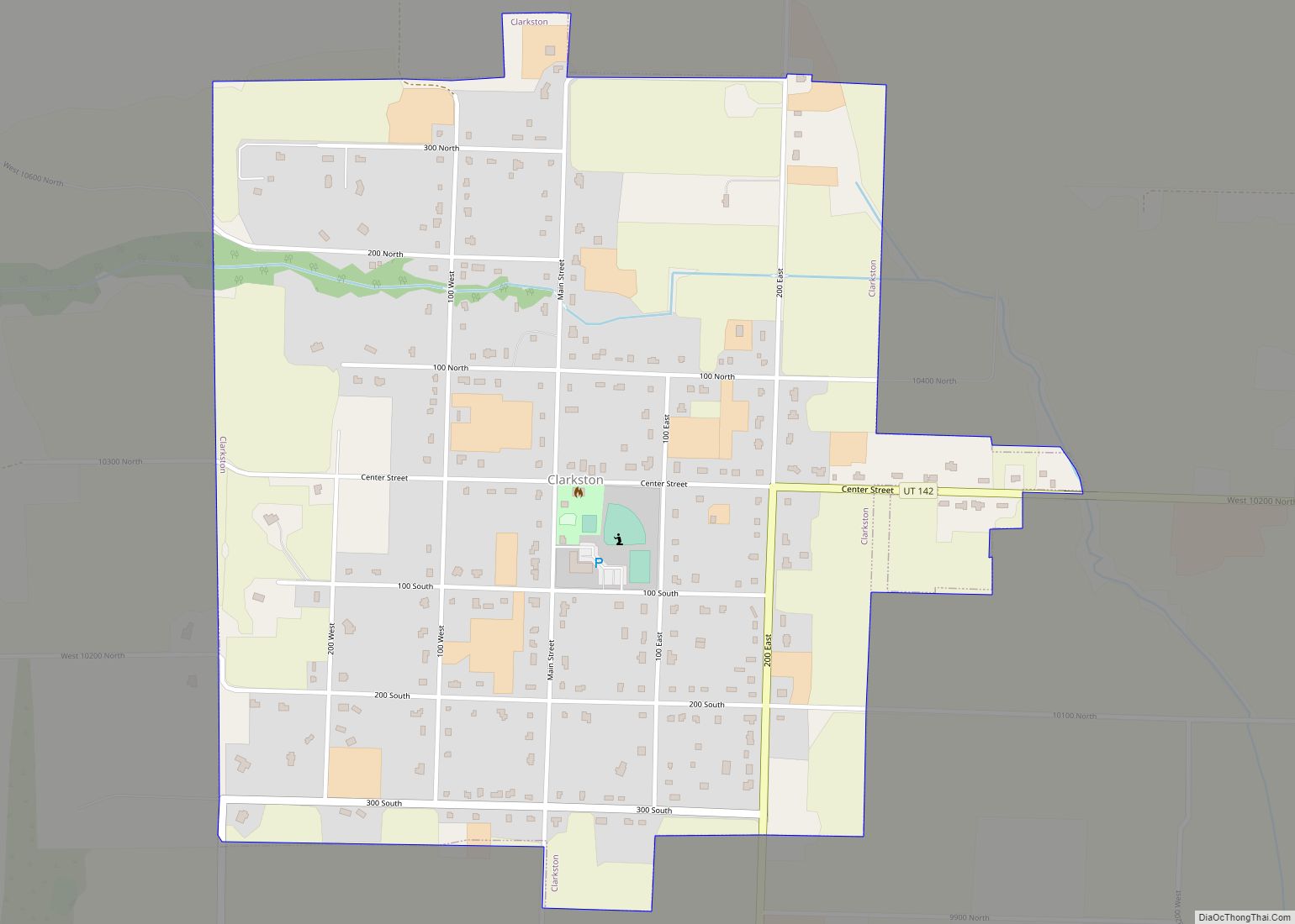
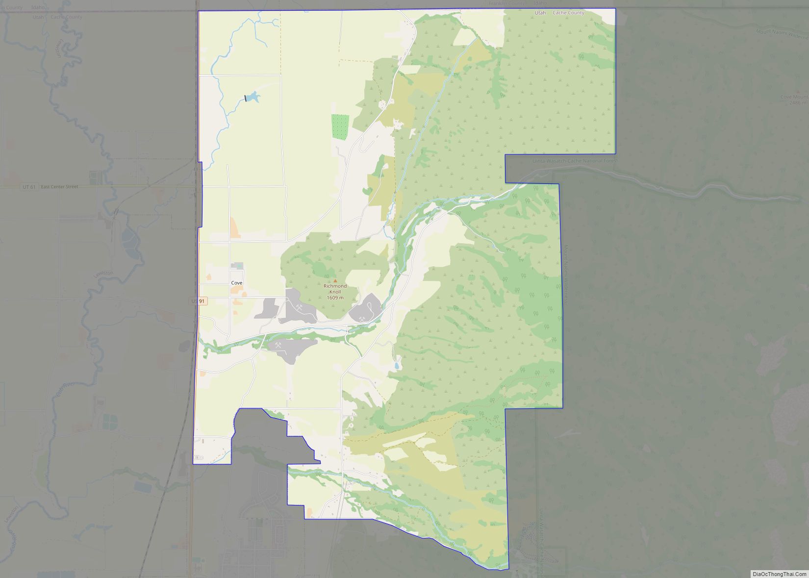
Map of Circleville town, Utah
Circleville is a town in Piute County, Utah, United States. The population was 547 at the 2010 census. Circleville town overview: Name: Circleville town LSAD Code: 43 LSAD Description: town (suffix) State: Utah County: Piute County Founded: 1864 Incorporated: August 24, 1921 Elevation: 6,066 ft (1,849 m) Total Area: 11.04 sq mi (28.60 km²) Land Area: 11.04 sq mi (28.60 km²) Water Area: ... Read more
Map of Circleville town, Utah
Map of Draper city, Utah
Draper is a city in Salt Lake and Utah counties in the U.S. state of Utah, about 20 miles (32 km) south of Salt Lake City along the Wasatch Front. As of the 2020 census, the population is 51,017, up from 7,143 in 1990. Draper is part of two metropolitan areas; the Salt Lake County portion ... Read more
Map of Draper city, Utah
Map of Deweyville town, Utah
Deweyville is a town in Box Elder County, Utah, United States. The population was 417 at the 2020 census, up from the 2010 figure of 332. Deweyville town overview: Name: Deweyville town LSAD Code: 43 LSAD Description: town (suffix) State: Utah County: Box Elder County Founded: 1864 Incorporated: March 7, 1939 Elevation: 4,337 ft (1,322 m) Total ... Read more
Map of Deweyville town, Utah
Map of Dammeron Valley CDP
Dammeron Valley is a census-designated place in central Washington County, Utah, United States. The population was 803 at the 2010 census. Although Dammeron Valley is unincorporated, it has its own ZIP code of 84783. Dammeron Valley CDP overview: Name: Dammeron Valley CDP LSAD Code: 57 LSAD Description: CDP (suffix) State: Utah County: Washington County Elevation: ... Read more
Map of Dammeron Valley CDP
Map of Cove CDP, Utah
Cove is a census-designated place (CDP) in Cache County, Utah, United States. The population was 460 at the 2010 census. It is included in the Logan, Utah–Idaho Metropolitan Statistical Area. Cove CDP overview: Name: Cove CDP LSAD Code: 57 LSAD Description: CDP (suffix) State: Utah County: Cache County Elevation: 4,557 ft (1,389 m) Total Area: 14.6 sq mi (37.8 km²) ... Read more
Map of Cove CDP, Utah
Map of Cottonwood Heights city
Cottonwood Heights is a city located in Salt Lake County, Utah, United States, along the east bench of the Salt Lake Valley. It lies south of the cities of Holladay and Murray, east of Midvale, and north of Sandy within the Salt Lake City, Utah Metropolitan Statistical Area. Originally a census-designated place (CDP), following a ... Read more
Map of Cottonwood Heights city
Map of Cornish town, Utah
Cornish is a town in Cache County, Utah, United States. The population was 288 at the 2010 census. It is included in the Logan, Utah–Idaho (partial) Metropolitan Statistical Area. Cornish town overview: Name: Cornish town LSAD Code: 43 LSAD Description: town (suffix) State: Utah County: Cache County Incorporated: 1937 Elevation: 4,485 ft (1,367 m) Total Area: 5.39 sq mi ... Read more
Map of Cornish town, Utah
Map of Corinne city, Utah
Corinne (/kəˈrɪn/ kə-RIN) is a city in Box Elder County, Utah, United States. The population was 809 at the 2020 census, up from the 2010 figure of 685. Corinne city overview: Name: Corinne city LSAD Code: 25 LSAD Description: city (suffix) State: Utah County: Box Elder County Founded: 1869 Incorporated: February 18, 1870 Elevation: 4,226 ft ... Read more
Map of Corinne city, Utah
Map of East Carbon city
East Carbon is a city in Carbon County, Utah, United States. The population was 1,301 at the 2010 census. East Carbon was incorporated on July 23, 1973, from the merger of the two struggling mining towns of Dragerton and Columbia. On January 1, 2014, the city annexed the neighboring city of Sunnyside. East Carbon city ... Read more
Map of East Carbon city
Map of Eagle Mountain city
Eagle Mountain is a city in Utah County, Utah. It is part of the Provo–Orem metropolitan area. The city is located to the west as well as north of the Lake Mountains, which are west of Utah Lake. It was incorporated on 3 December 1996 and had been rapidly growing. The population was 43,623 at ... Read more
Map of Eagle Mountain city
Map of Elk Ridge city
Elk Ridge is a city in Utah County, Utah, United States. Named for a herd of elk that wintered in the area, it is part of the Provo–Orem, Utah Metropolitan Statistical Area. The population was 4,687 at the time of the 2020 census. Elk Ridge became a fifth-class city by state law in November 2000. ... Read more
Map of Elk Ridge city
Map of Eden CDP, Utah
Eden is a census-designated place in Weber County, Utah, United States. It is home to Powder Mountain ski resort. It lies between the North and Middle Fork of the Ogden River, north of Pineview Reservoir, in the Ogden Valley. The elevation is 4,941 feet (1,506 m). The population was 600 at the 2010 census. It has ... Read more
Map of Eden CDP, Utah