Circleville is a town in Piute County, Utah, United States. The population was 547 at the 2010 census.
| Name: | Circleville town |
|---|---|
| LSAD Code: | 43 |
| LSAD Description: | town (suffix) |
| State: | Utah |
| County: | Piute County |
| Founded: | 1864 |
| Incorporated: | August 24, 1921 |
| Elevation: | 6,066 ft (1,849 m) |
| Total Area: | 11.04 sq mi (28.60 km²) |
| Land Area: | 11.04 sq mi (28.60 km²) |
| Water Area: | 0.00 sq mi (0.00 km²) |
| Total Population: | 547 |
| Population Density: | 44.29/sq mi (17.10/km²) |
| ZIP code: | 84723 |
| Area code: | 435 |
| FIPS code: | 4912970 |
| GNISfeature ID: | 1439749 |
| Website: | www.circlevilleutah.org |
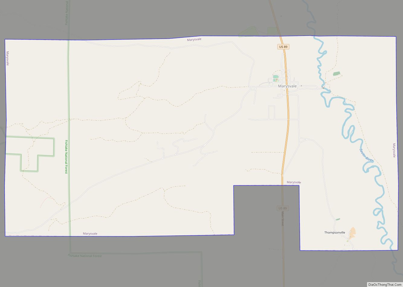
Online Interactive Map
Click on ![]() to view map in "full screen" mode.
to view map in "full screen" mode.
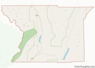
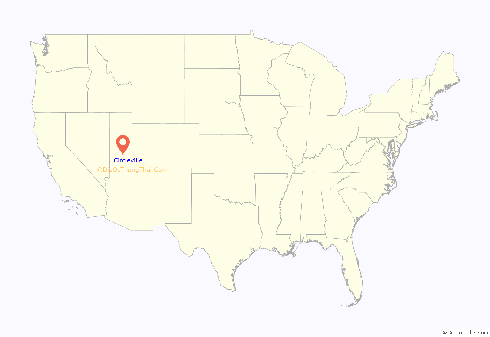
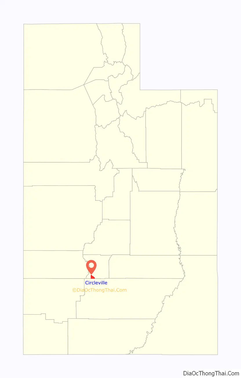
Circleville location map. Where is Circleville town?
History
In the area that became Circleville, the first European colonizers arrived in 1864. They were Mormon settlers from Mormonism’s largest denomination the Church of Jesus Christ of Latter-day Saints (LDS Church). The town is located within Circle Valley which gets its name from its circular shape. The valley is completely encircled by mountains except where the Sevier River (pronounced “severe”) enters and exits the valley in the north and south.
In April 1866, the settlement was the site of the Circleville Massacre, a lynching of 27 Southern Paiute men, women, and children by LDS settlers during the Black Hawk War. In 2016, a monument was dedicated in the town park to remember the Native American people murdered during the massacre.
On June 28, 1866, the town was abandoned by the original settlers due to the war. A few settlers began to trickle back into the area in 1873 and the town was re-established in 1874 when Charles Wakeman Dalton crossed the mountain from Beaver with two of his wives and family.
Circleville became an incorporated community on August 24, 1921. Local residents were interested in facilitating the public services which municipal government provides, and they were particularly interested in building a culinary water system.
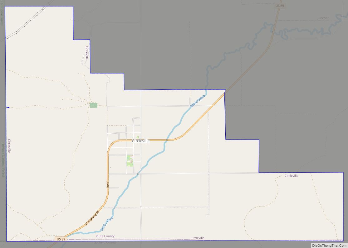
Circleville Road Map
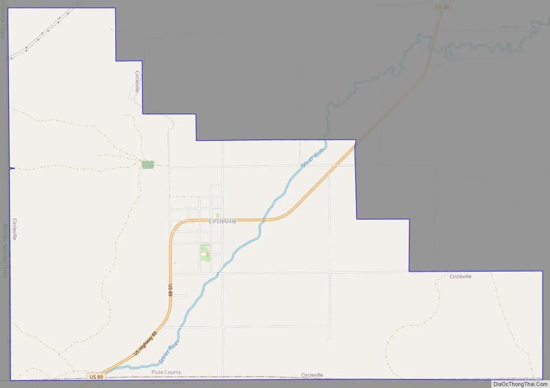
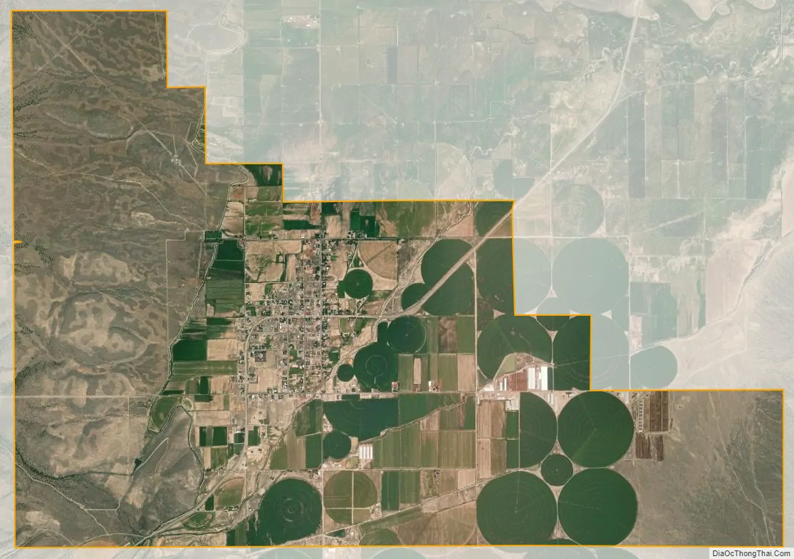
Circleville city Satellite Map
Geography
According to the United States Census Bureau, the town has a total area of 9.1 square miles (23.5 km), all land.
The American Discovery Trail runs through Circleville.
Climate
The Köppen Climate Classification subtype for this climate is “Dfb” (Warm Summer Continental Climate).
See also
Map of Utah State and its subdivision: Map of other states:- Alabama
- Alaska
- Arizona
- Arkansas
- California
- Colorado
- Connecticut
- Delaware
- District of Columbia
- Florida
- Georgia
- Hawaii
- Idaho
- Illinois
- Indiana
- Iowa
- Kansas
- Kentucky
- Louisiana
- Maine
- Maryland
- Massachusetts
- Michigan
- Minnesota
- Mississippi
- Missouri
- Montana
- Nebraska
- Nevada
- New Hampshire
- New Jersey
- New Mexico
- New York
- North Carolina
- North Dakota
- Ohio
- Oklahoma
- Oregon
- Pennsylvania
- Rhode Island
- South Carolina
- South Dakota
- Tennessee
- Texas
- Utah
- Vermont
- Virginia
- Washington
- West Virginia
- Wisconsin
- Wyoming