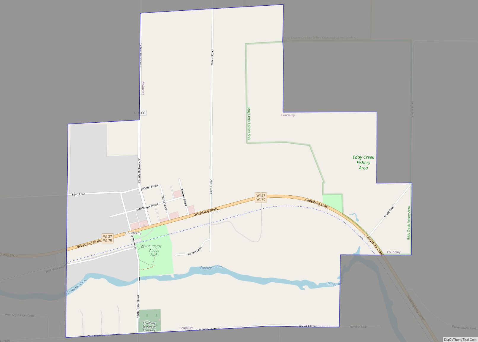
Map of De Pere city
De Pere (/di ˈpɪər/ dee-PEER) is a city in Brown County, Wisconsin, United States. The population was 25,410 at the 2020 census. De Pere is part of the Green Bay Metropolitan Statistical Area. De Pere city overview: Name: De Pere city LSAD Code: 25 LSAD Description: city (suffix) State: Wisconsin County: Brown County Incorporated: 1857 ... Read more
Map of De Pere city
Map of Darlington city, Wisconsin
Darlington is a city in and the county seat of Lafayette County in the U.S. state of Wisconsin. The population was 2,462 at the 2020 census. The city is surrounded by the Town of Darlington. Darlington city overview: Name: Darlington city LSAD Code: 25 LSAD Description: city (suffix) State: Wisconsin County: Lafayette County Elevation: 869 ft ... Read more
Map of Darlington city, Wisconsin
Map of Dane village
Dane is a town in Dane County, Wisconsin, United States. The population was 968 at the 2000 census. The unincorporated community of Lutheran Hill is located partially in the town. Dane village overview: Name: Dane village LSAD Code: 47 LSAD Description: village (suffix) State: Wisconsin County: Dane County FIPS code: 5518700 Online Interactive Map Dane ... Read more
Map of Dane village
Map of Dalton CDP, Wisconsin
Dalton is an unincorporated census-designated place in the town of Kingston located in the southwestern corner of Green Lake County, Wisconsin, United States. It is located on Wisconsin Highway 44. It uses ZIP code 53926. As of the 2010 census, its population was 206. The surrounding countryside is mainly occupied by dairy farmers and an ... Read more
Map of Dalton CDP, Wisconsin
Map of Diamond Bluff CDP
Diamond Bluff is a census-designated place in the town of Diamond Bluff, Pierce County, Wisconsin, United States. Its population was 194 as of the 2010 census. Diamond Bluff CDP overview: Name: Diamond Bluff CDP LSAD Code: 57 LSAD Description: CDP (suffix) State: Wisconsin County: Pierce County Elevation: 735 ft (224 m) Total Area: 1.750 sq mi (4.53 km²) Land Area: ... Read more
Map of Diamond Bluff CDP
Map of Dallas village, Wisconsin
Dallas is a town in Barron County in the U.S. state of Wisconsin. As of the 2010 census, the town had a population of 565. The Village of Dallas is within the town. Dallas village overview: Name: Dallas village LSAD Code: 47 LSAD Description: village (suffix) State: Wisconsin County: Barron County FIPS code: 5518575 Online ... Read more
Map of Dallas village, Wisconsin
Map of Dale CDP, Wisconsin
Dale is an unincorporated census-designated place in the town of Dale in Outagamie County, Wisconsin, United States. It is located at the intersection of Wisconsin Highway 96 and County T. As of the 2010 census, its population was 528. Dale CDP overview: Name: Dale CDP LSAD Code: 57 LSAD Description: CDP (suffix) State: Wisconsin County: ... Read more
Map of Dale CDP, Wisconsin
Map of Curtiss village
Curtiss is a village in Clark County in the U.S. state of Wisconsin. The population was 216 at the 2010 census. Curtiss village overview: Name: Curtiss village LSAD Code: 47 LSAD Description: village (suffix) State: Wisconsin County: Clark County Elevation: 1,365 ft (416 m) Total Area: 0.69 sq mi (1.78 km²) Land Area: 0.69 sq mi (1.78 km²) Water Area: 0.00 sq mi (0.00 km²) Total ... Read more
Map of Curtiss village
Map of Delavan city, Wisconsin
Delavan is a city in Walworth County, Wisconsin, United States. The population was 8,505 at the 2020 census. It is located 45 miles (72 km) southwest of Milwaukee. The city is located partially within the Town of Delavan, but the two entities are politically independent. Delavan is home to Delavan Lake which brings in a large ... Read more
Map of Delavan city, Wisconsin
Map of Delavan Lake CDP
Delavan Lake is a census-designated place (CDP) in the towns of Delavan and Walworth, Walworth County, Wisconsin, United States. The population was 2,803 at the 2020 census. It is located near the shore of Delavan Lake. Delavan Lake CDP overview: Name: Delavan Lake CDP LSAD Code: 57 LSAD Description: CDP (suffix) State: Wisconsin County: Walworth ... Read more
Map of Delavan Lake CDP
Map of Delafield city
Delafield is a city in Waukesha County, Wisconsin, along the Bark River. The population was 7,085 at the 2010 census. The city of Delafield is a separate municipality from the Town of Delafield, both of which are situated in township 7 North Range 18 East. Delafield city overview: Name: Delafield city LSAD Code: 25 LSAD ... Read more
Map of Delafield city
Map of Deerfield village, Wisconsin
Deerfield is a town in Dane County, Wisconsin, United States. The population was 1,470 at the 2000 census. The Village of Deerfield is located within the town. The unincorporated communities of London and Old Deerfield are located in the town. Deerfield village overview: Name: Deerfield village LSAD Code: 47 LSAD Description: village (suffix) State: Wisconsin ... Read more
Map of Deerfield village, Wisconsin