Delafield is a city in Waukesha County, Wisconsin, along the Bark River. The population was 7,085 at the 2010 census.
The city of Delafield is a separate municipality from the Town of Delafield, both of which are situated in township 7 North Range 18 East.
| Name: | Delafield city |
|---|---|
| LSAD Code: | 25 |
| LSAD Description: | city (suffix) |
| State: | Wisconsin |
| County: | Waukesha County |
| Total Area: | 11.04 sq mi (28.60 km²) |
| Land Area: | 9.39 sq mi (24.31 km²) |
| Water Area: | 1.66 sq mi (4.29 km²) 14.92% |
| Total Population: | 7,085 |
| Population Density: | 802.81/sq mi (309.98/km²) |
| ZIP code: | 53018 |
| Area code: | 262 |
| FIPS code: | 5519400 |
| Website: | www.cityofdelafield.com |
Online Interactive Map
Click on ![]() to view map in "full screen" mode.
to view map in "full screen" mode.
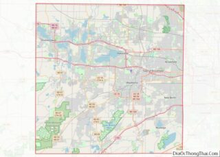
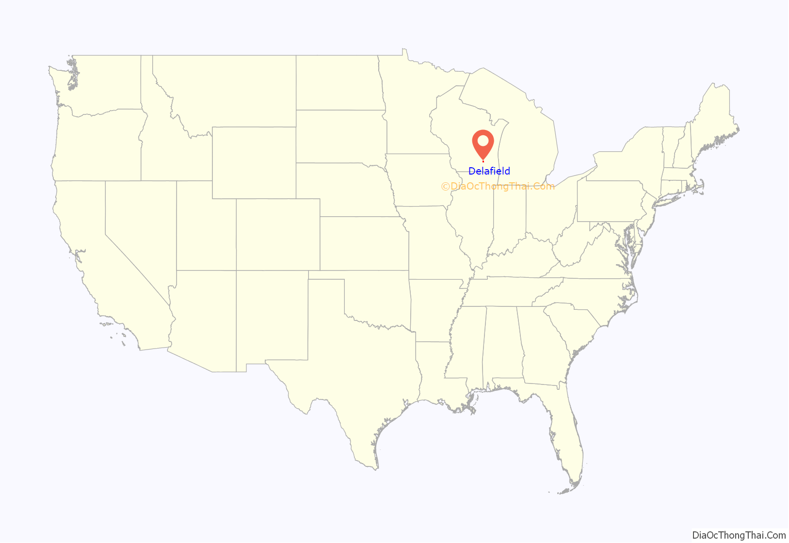
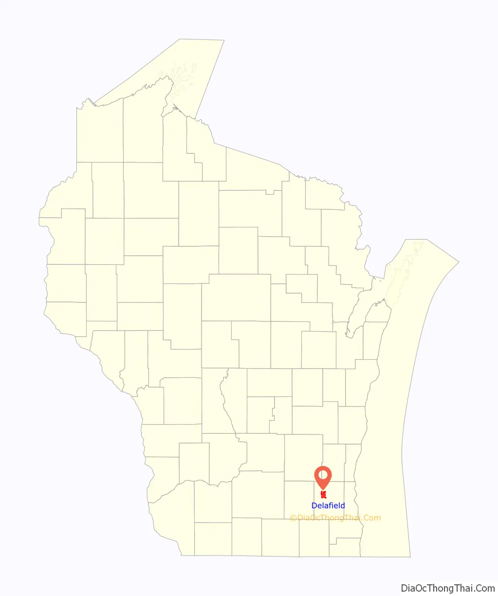
Delafield location map. Where is Delafield city?
History
Delafield was established in 1837, named after Dr. Charles Delafield of Milwaukee. It was the hometown of the Cushing brothers, who served the Union cause during the American Civil War—Alonzo (killed during Pickett’s Charge at Gettysburg), William (led the raid on CSS Albemarle), and Howard (an Indian fighter killed fighting the Apache in Arizona after the war). Cushing Memorial Park is named after them and is home to a war memorial in their honor, and Cushing Elementary is specifically named after Alonzo Cushing. Recently a poll was done in the city of Delafield about the legalization of recreational marijuana. The poll showed that 40% approved legalization, 40% did not want legalization, and 20% were undecided. Since 1927, a culinary event known as the “Coon Feed” has taken place in Delafield.
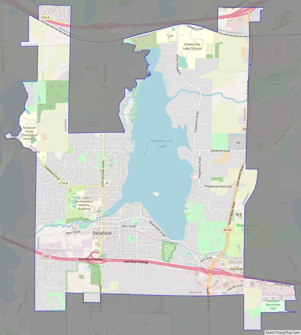
Delafield Road Map
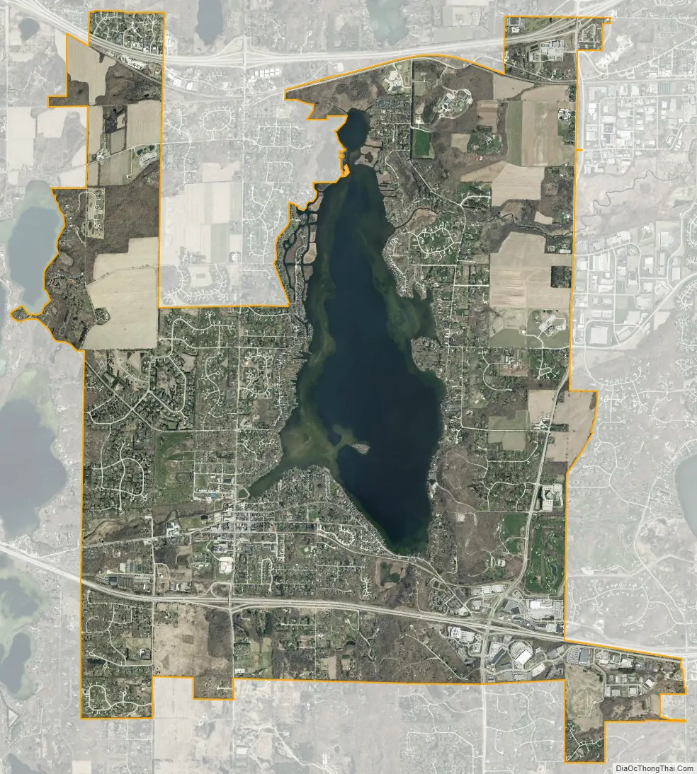
Delafield city Satellite Map
Geography
Delafield is located in the Lake Country area of Waukesha County.
According to the United States Census Bureau, the city has a total area of 11.06 square miles (28.65 km), of which 9.41 square miles (24.37 km) is land and 1.65 square miles (4.27 km) is water.
See also
Map of Wisconsin State and its subdivision:- Adams
- Ashland
- Barron
- Bayfield
- Brown
- Buffalo
- Burnett
- Calumet
- Chippewa
- Clark
- Columbia
- Crawford
- Dane
- Dodge
- Door
- Douglas
- Dunn
- Eau Claire
- Florence
- Fond du Lac
- Forest
- Grant
- Green
- Green Lake
- Iowa
- Iron
- Jackson
- Jefferson
- Juneau
- Kenosha
- Kewaunee
- La Crosse
- Lafayette
- Lake Michigan
- Lake Superior
- Langlade
- Lincoln
- Manitowoc
- Marathon
- Marinette
- Marquette
- Menominee
- Milwaukee
- Monroe
- Oconto
- Oneida
- Outagamie
- Ozaukee
- Pepin
- Pierce
- Polk
- Portage
- Price
- Racine
- Richland
- Rock
- Rusk
- Saint Croix
- Sauk
- Sawyer
- Shawano
- Sheboygan
- Taylor
- Trempealeau
- Vernon
- Vilas
- Walworth
- Washburn
- Washington
- Waukesha
- Waupaca
- Waushara
- Winnebago
- Wood
- Alabama
- Alaska
- Arizona
- Arkansas
- California
- Colorado
- Connecticut
- Delaware
- District of Columbia
- Florida
- Georgia
- Hawaii
- Idaho
- Illinois
- Indiana
- Iowa
- Kansas
- Kentucky
- Louisiana
- Maine
- Maryland
- Massachusetts
- Michigan
- Minnesota
- Mississippi
- Missouri
- Montana
- Nebraska
- Nevada
- New Hampshire
- New Jersey
- New Mexico
- New York
- North Carolina
- North Dakota
- Ohio
- Oklahoma
- Oregon
- Pennsylvania
- Rhode Island
- South Carolina
- South Dakota
- Tennessee
- Texas
- Utah
- Vermont
- Virginia
- Washington
- West Virginia
- Wisconsin
- Wyoming