De Pere (/di ˈpɪər/ dee-PEER) is a city in Brown County, Wisconsin, United States. The population was 25,410 at the 2020 census. De Pere is part of the Green Bay Metropolitan Statistical Area.
| Name: | De Pere city |
|---|---|
| LSAD Code: | 25 |
| LSAD Description: | city (suffix) |
| State: | Wisconsin |
| County: | Brown County |
| Incorporated: | 1857 |
| Elevation: | 600 ft (183 m) |
| Total Area: | 12.77 sq mi (33.09 km²) |
| Land Area: | 11.96 sq mi (30.97 km²) |
| Water Area: | 0.82 sq mi (2.12 km²) |
| Total Population: | 25,410 |
| Population Density: | 2,088.49/sq mi (806.35/km²) |
| ZIP code: | 54115 |
| Area code: | 920 |
| FIPS code: | 5519775 |
| GNISfeature ID: | 1563754 |
| Website: | https://www.deperewi.gov/ |
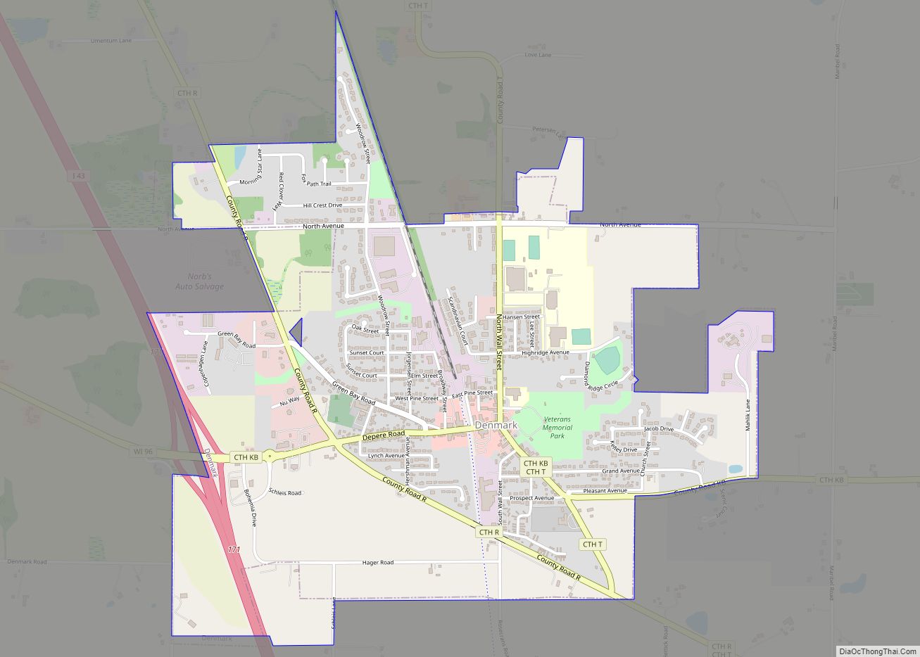
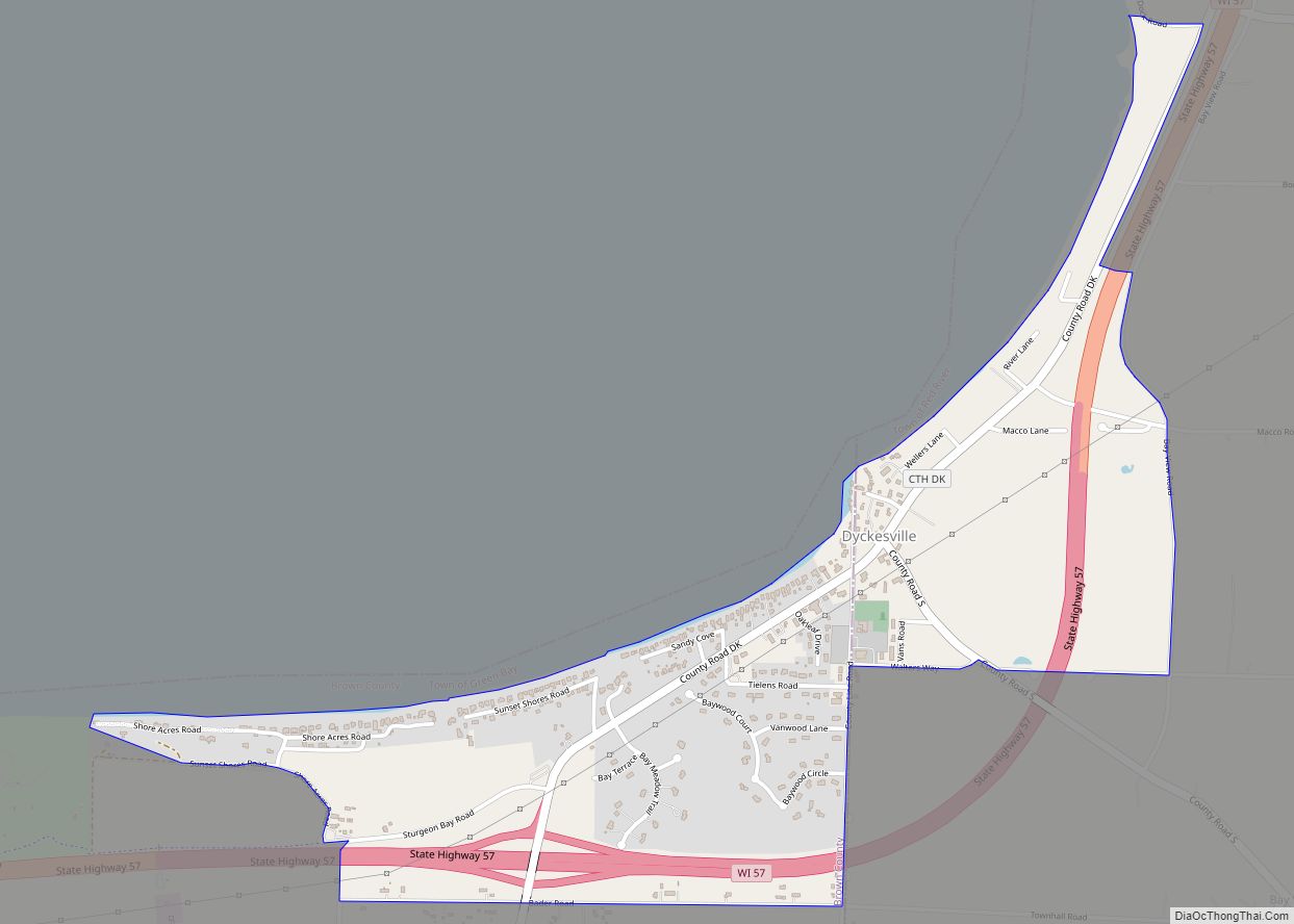
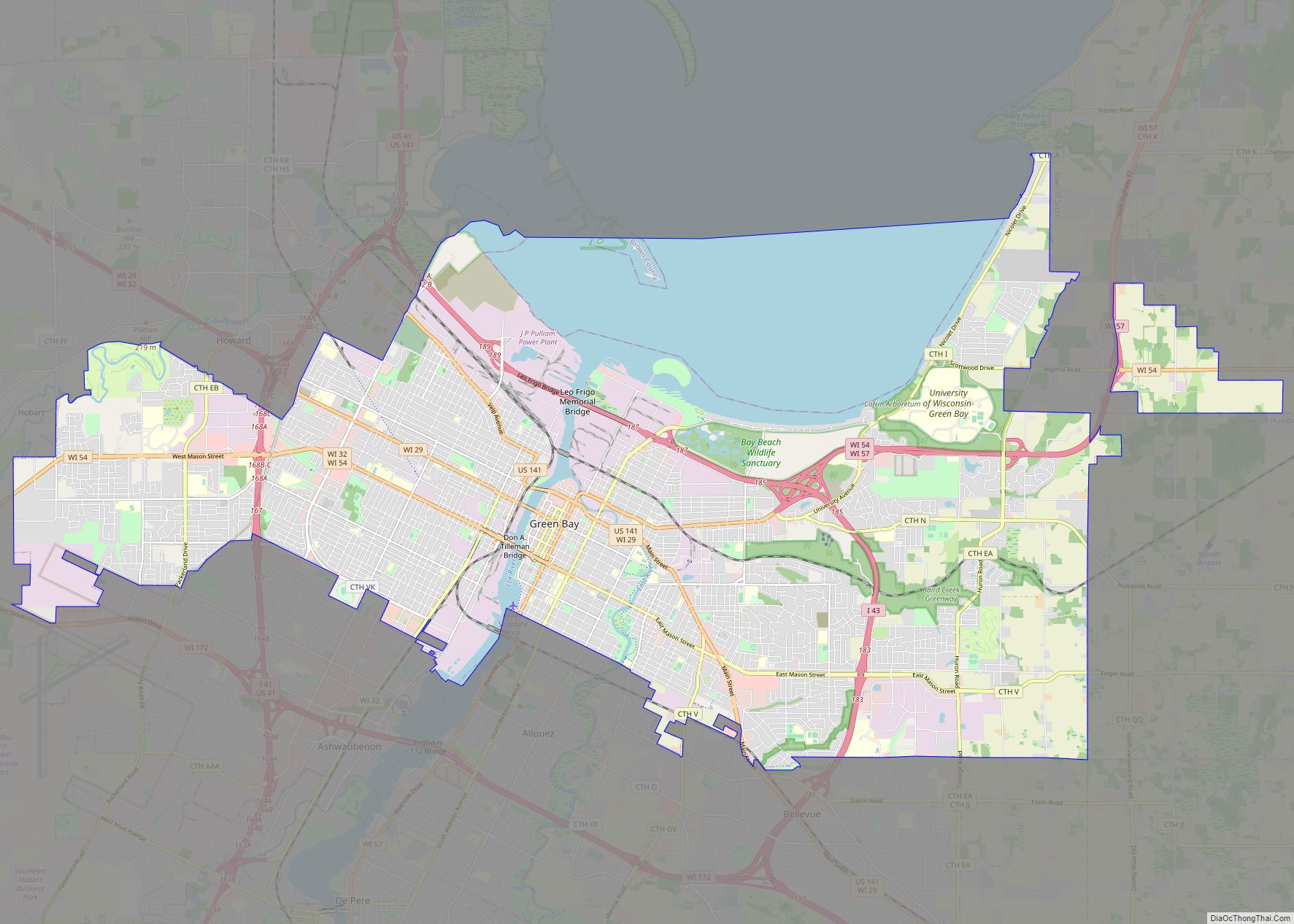
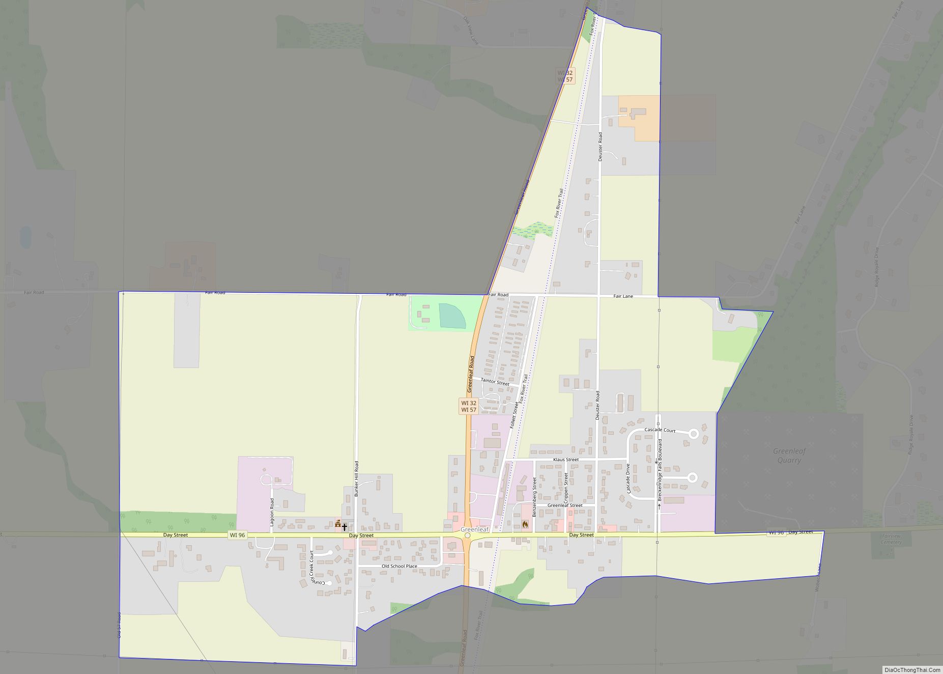
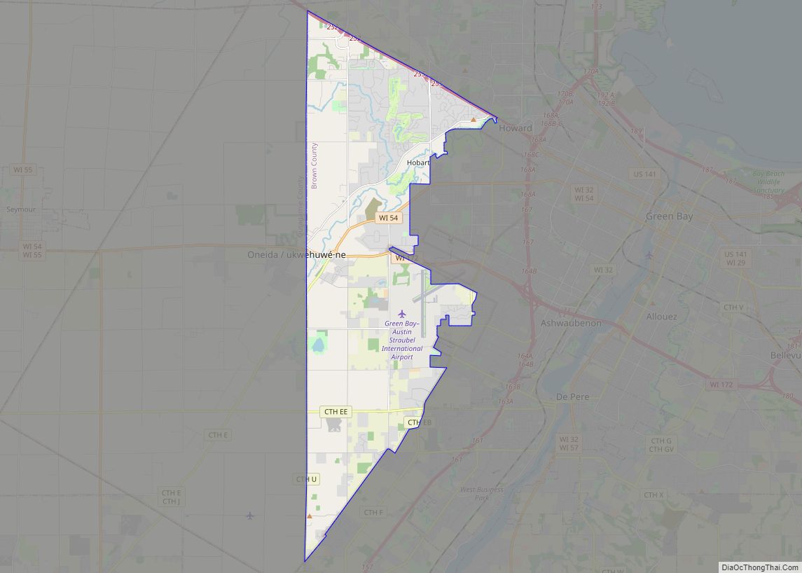
Online Interactive Map
Click on ![]() to view map in "full screen" mode.
to view map in "full screen" mode.
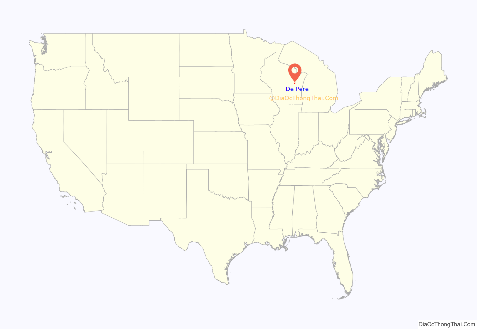
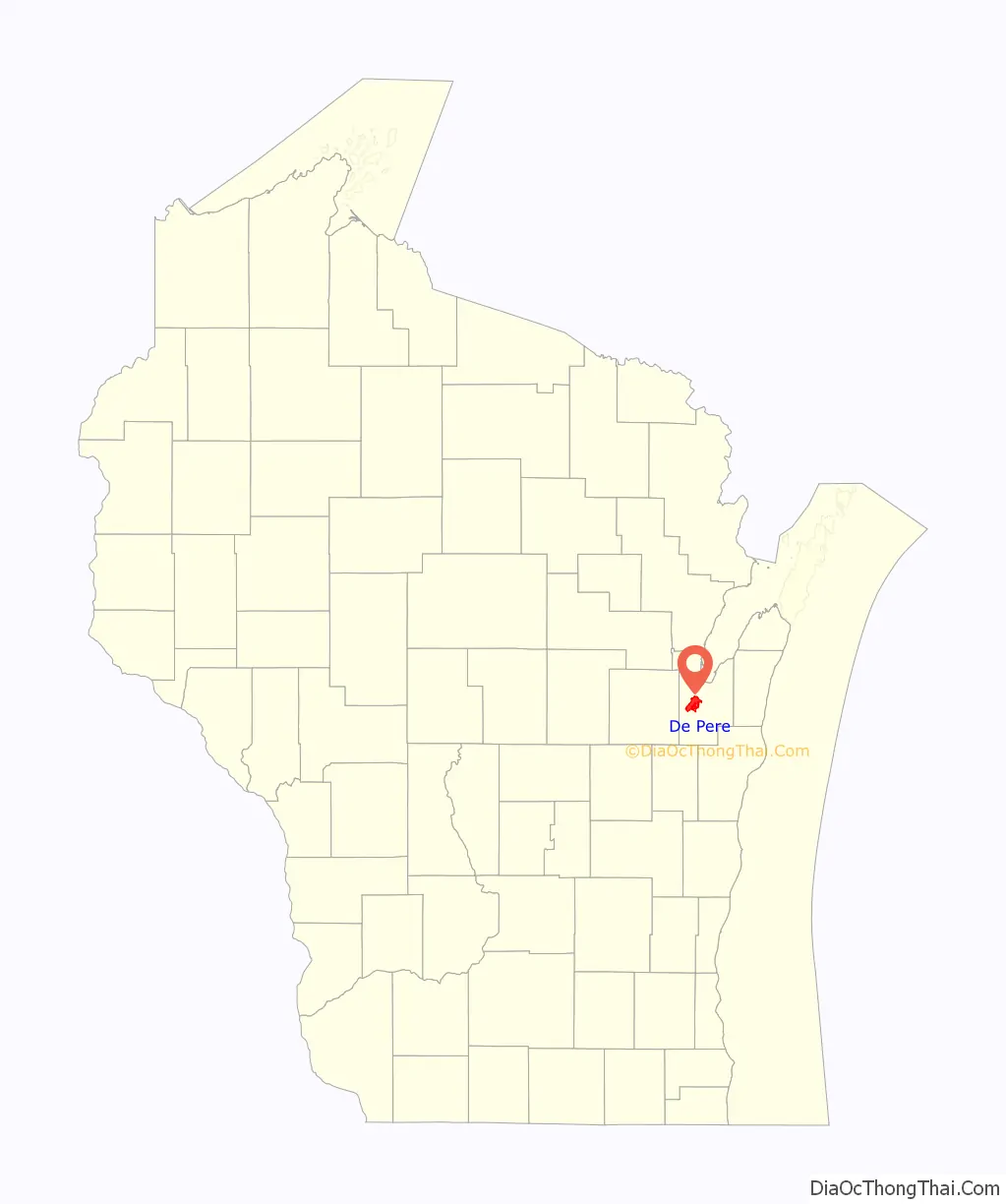
De Pere location map. Where is De Pere city?
History
When the first European, Jean Nicolet, visited the place in 1634–35, De Pere was the site of a polyglot settlement of several thousand attracted by the fishing at the first rapids of the Fox River. In 1671, French Jesuit explorer Père Claude-Jean Allouez founded the St. Francis Xavier Mission at the last set of rapids on the Fox River before it enters The Bay of Green Bay. The site was known as Rapides Des Pères (rapids of the fathers) which became modern day De Pere.
The present city of De Pere had its beginnings in 1836, when John Penn Arndt and Charles Tullar incorporated the De Pere Hydraulic Company and drew up the first plat of the town. In 1837, a popular vote established De Pere as the county seat of Brown County. It maintained this position until 1854, when another election moved the county seat to Green Bay. De Pere was incorporated as a village on March 6, 1857.
Originally De Pere consisted solely of the community on the east side of the river. West De Pere, on the west side of the river, was a town. In 1870 the Village of West De Pere was incorporated; in 1883 the Village of West De Pere became the City of Nicolet after voyageur Jean Nicolet; in 1887 the City of Nicolet became the City of West De Pere; and in 1890 the City of West De Pere consolidated with the City of De Pere to form a single municipality.
St. Norbert College, which abuts the banks of the Fox River on the city’s west side near the Claude Allouez Bridge, was founded by Norbertine Abbot Pennings in 1898.
Registered historic places
De Pere has several areas on the National Register of Historic Places. North Broadway Street Historic District is listed as #83003368. Large homes line Broadway, Ridgeway Blvd., Morris, Fulton, Franklin, Cass, Front, and Wisconsin Streets near the Fox River.
The De Pere Lock and Dam Historic District (#93001331) was added in 1993.
The Union Hotel was added to the list in 2003.
The Randall Avenue Historic District was added in 2007.
The Edwin and Jennie Gutknecht House was listed in 2015.
The St. Norbert College Historic District was added to the list in 2018.
The Mansion Street World War II Defense Housing Historic District and the Daviswood Ranch Homes Historic District were added to the list in 2021.
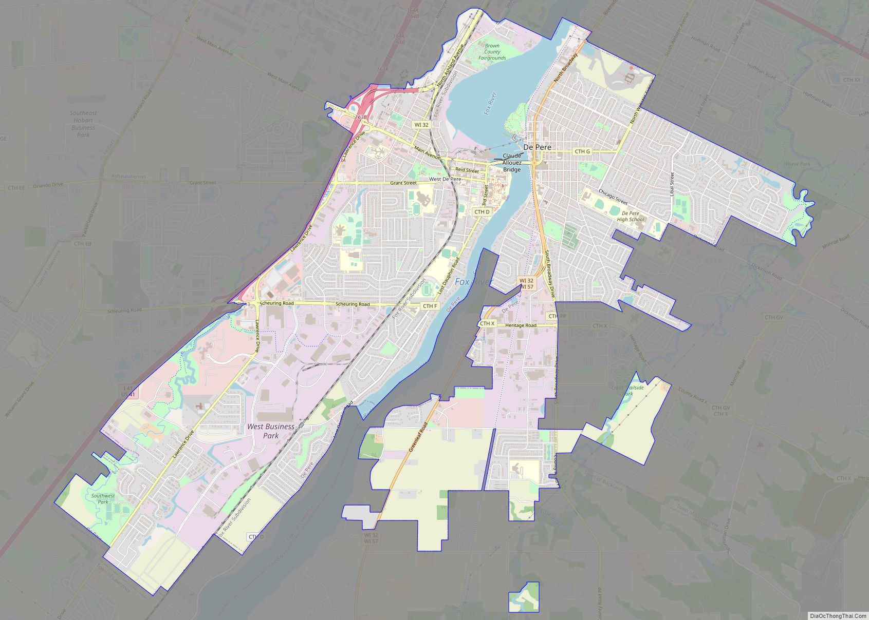
De Pere Road Map
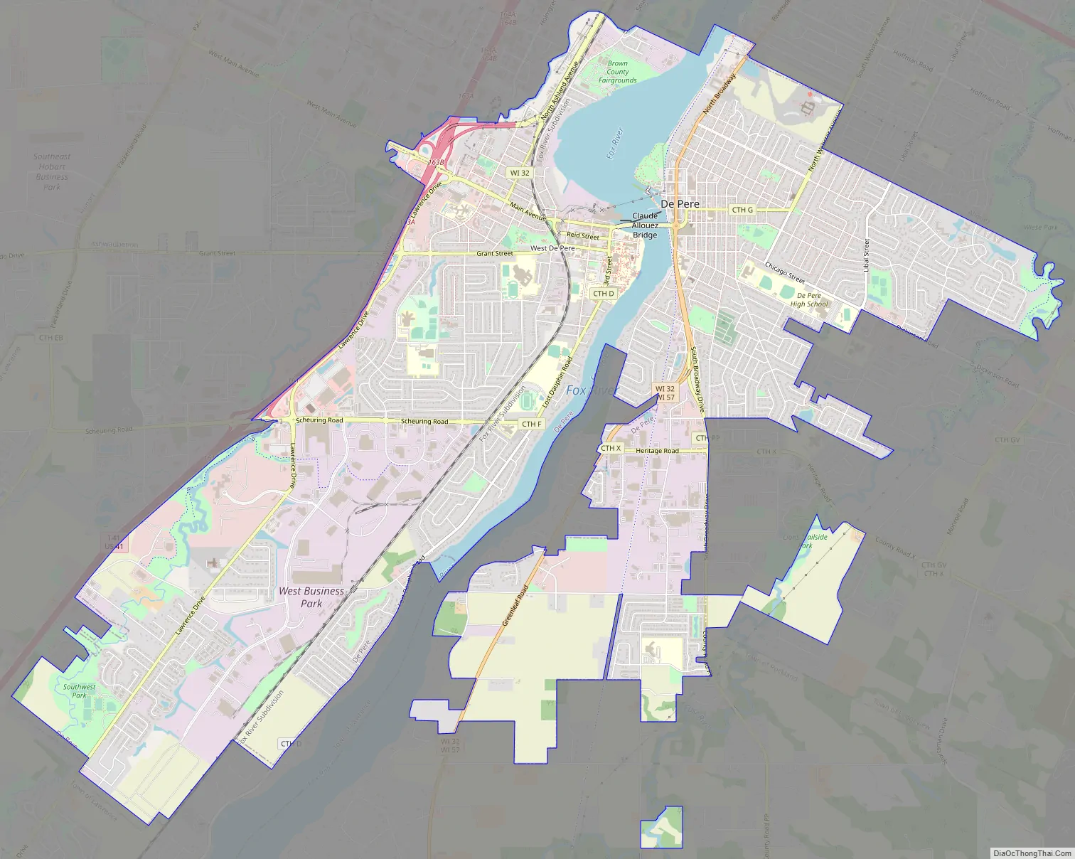
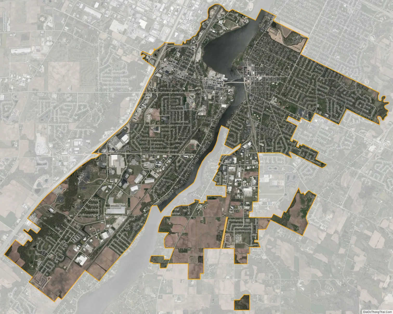
De Pere city Satellite Map
Geography
De Pere is located at 44°26′46″N 88°4′27″W / 44.44611°N 88.07417°W / 44.44611; -88.07417 (44.4460910, −88.0740510).
According to the United States Census Bureau, the city has an area of 12.30 square miles (31.86 km), of which 11.58 square miles (29.99 km) is land and 0.72 square miles (1.86 km) is water.
Climate
See also
Map of Wisconsin State and its subdivision:- Adams
- Ashland
- Barron
- Bayfield
- Brown
- Buffalo
- Burnett
- Calumet
- Chippewa
- Clark
- Columbia
- Crawford
- Dane
- Dodge
- Door
- Douglas
- Dunn
- Eau Claire
- Florence
- Fond du Lac
- Forest
- Grant
- Green
- Green Lake
- Iowa
- Iron
- Jackson
- Jefferson
- Juneau
- Kenosha
- Kewaunee
- La Crosse
- Lafayette
- Lake Michigan
- Lake Superior
- Langlade
- Lincoln
- Manitowoc
- Marathon
- Marinette
- Marquette
- Menominee
- Milwaukee
- Monroe
- Oconto
- Oneida
- Outagamie
- Ozaukee
- Pepin
- Pierce
- Polk
- Portage
- Price
- Racine
- Richland
- Rock
- Rusk
- Saint Croix
- Sauk
- Sawyer
- Shawano
- Sheboygan
- Taylor
- Trempealeau
- Vernon
- Vilas
- Walworth
- Washburn
- Washington
- Waukesha
- Waupaca
- Waushara
- Winnebago
- Wood
- Alabama
- Alaska
- Arizona
- Arkansas
- California
- Colorado
- Connecticut
- Delaware
- District of Columbia
- Florida
- Georgia
- Hawaii
- Idaho
- Illinois
- Indiana
- Iowa
- Kansas
- Kentucky
- Louisiana
- Maine
- Maryland
- Massachusetts
- Michigan
- Minnesota
- Mississippi
- Missouri
- Montana
- Nebraska
- Nevada
- New Hampshire
- New Jersey
- New Mexico
- New York
- North Carolina
- North Dakota
- Ohio
- Oklahoma
- Oregon
- Pennsylvania
- Rhode Island
- South Carolina
- South Dakota
- Tennessee
- Texas
- Utah
- Vermont
- Virginia
- Washington
- West Virginia
- Wisconsin
- Wyoming