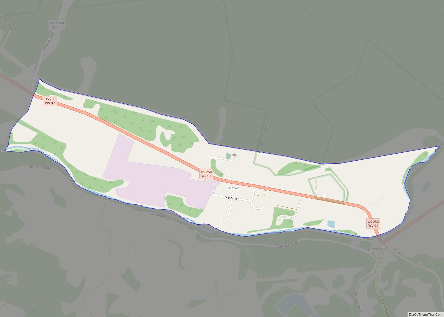
Bartley is a census-designated place (CDP) located in McDowell County, West Virginia, United States. It lies along the Norfolk and Western Railroad on the Dry Fork. As of the 2010 census, its population was 224. According to the Geographic Names Information System, Bartley has also been known as Bartlett and Peeryville. Bartley CDP overview: Name: ... Read more
Map of US Cities and Places
Barrackville is a town in Marion County, West Virginia, United States. The population was 1,211 at the 2020 census. Barrackville was settled beginning in 1767 by William Galloway “Indian Billy” Ice. The town was named in honor of John Barrack, an early settler. It was incorporated January 25, 1968. Barrackville town overview: Name: Barrackville town ... Read more
Berwind is a town on the Dry Fork in McDowell County, West Virginia, United States. As of the 2010 census, its population is 278. The town is named for Edward Julius Berwind, owner of the Berwind Company, and was originally a company town. It was later incorporated in 1905. Berwind is the hometown of Vern ... Read more
Benwood is a city in Marshall County, West Virginia, United States, along the Ohio River. It is part of the Wheeling, West Virginia Metropolitan Statistical Area. The population was 1,269 at the 2020 census. Benwood was chartered in 1853 and incorporated in 1895. The name of the city is derived from “Ben’s Woods”, as Benjamin ... Read more
Belle is a town in Kanawha County, West Virginia, United States, situated along the Kanawha River. The population was 1,171 at the 2020 census. Belle was incorporated on December 13, 1958 by the Kanawha County Circuit Court. It is the home of the Belle Bulldogs Elementary School. Belle Reynolds, an early postmaster, gave the town ... Read more
Blennerhassett is a census-designated place (CDP) in Wood County, West Virginia, United States. It is part of the Parkersburg–Marietta–Vienna, WV-OH Metropolitan Statistical Area. The population was 3,089 at the 2010 census. Blennerhassett CDP overview: Name: Blennerhassett CDP LSAD Code: 57 LSAD Description: CDP (suffix) State: West Virginia County: Wood County Elevation: 781 ft (238 m) Total Area: ... Read more
Bridgeport is a city in eastern Harrison County, West Virginia, United States. The population was 9,325 at the 2020 census. It is part of the Clarksburg micropolitan area in North Central West Virginia. Bridgeport had its beginning in pre-American Revolutionary War times. In 1764, John Simpson entered the area and gave his name to Simpson ... Read more
Brenton is a census-designated place (CDP) in Wyoming County, West Virginia, United States. As of the 2010 census, its population is 249. Sue Cline (1946-2021), West Virginia State Senator and businesswoman, lived in Brenton. Brenton CDP overview: Name: Brenton CDP LSAD Code: 57 LSAD Description: CDP (suffix) State: West Virginia County: Wyoming County Total Area: ... Read more
Big Sandy is a census-designated place (CDP) located in McDowell County, West Virginia, United States. As of the 2010 census, its population is 168. The town’s name comes from the Big Sandy River, a major tributary of the Ohio River which forms the boundary between West Virginia and Kentucky. Big Sandy CDP overview: Name: Big ... Read more
Big Creek is a census-designated place (CDP) in Logan County, West Virginia, United States. Big Creek is located on West Virginia Route 10, 2.5 miles (4.0 km) northwest of Chapmanville. Big Creek has a post office with ZIP code 25505. As of the 2010 census, its population was 237. The community takes its name from nearby ... Read more
Brandonville is a town in northern Preston County, West Virginia, United States. The population was 136 at the 2020 census. It is part of the Morgantown metropolitan area. Brandonville town overview: Name: Brandonville town LSAD Code: 43 LSAD Description: town (suffix) State: West Virginia County: Preston County Elevation: 1,805 ft (550 m) Total Area: 0.39 sq mi (1.00 km²) Land ... Read more
Big Chimney is a census-designated place (CDP) located on U.S. Route 119 in Kanawha County, West Virginia, United States. As of the 2010 census, its population was 627. It is accessible by West Virginia Route 114 or exit 5 from I-79. The center of town includes a Hardee’s, a drug store, hardware store and grocery ... Read more