Beckley is a city in and the county seat of Raleigh County, West Virginia, United States. The population was 17,286 at the 2020 census, making it the ninth-largest city in the state. It is the principal city of the Beckley metropolitan area of Southern West Virginia, home to 115,079 residents in 2020. Beckley was founded on April 4, 1838, and was long known for its ties to the coal mining industry. It is the home of the West Virginia University Institute of Technology, as well as campuses of Concord University and the University of Charleston.
| Name: | Beckley city |
|---|---|
| LSAD Code: | 25 |
| LSAD Description: | city (suffix) |
| State: | West Virginia |
| County: | Raleigh County |
| Elevation: | 2,418 ft (737 m) |
| Land Area: | 9.50 sq mi (24.60 km²) |
| Water Area: | 0.01 sq mi (0.03 km²) |
| Population Density: | 1,821.49/sq mi (703.28/km²) |
| ZIP code: | 25801, 25802, 25926 |
| FIPS code: | 5405332 |
| GNISfeature ID: | 1553831 |
| Website: | http://www.beckley.org/ |
Online Interactive Map
Click on ![]() to view map in "full screen" mode.
to view map in "full screen" mode.
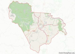
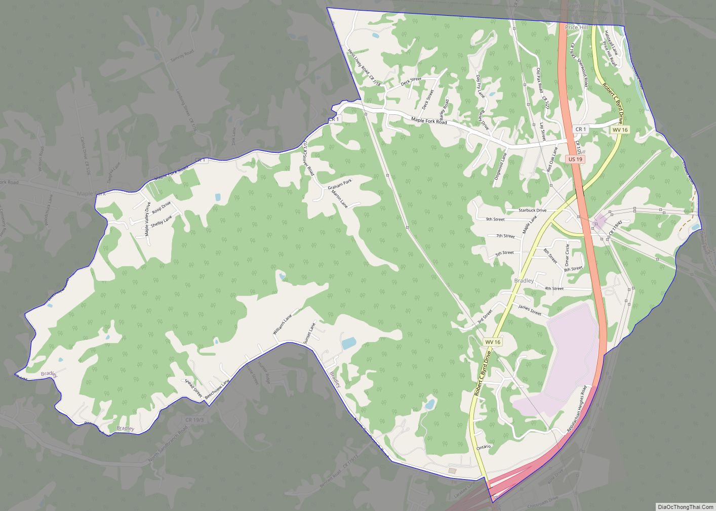
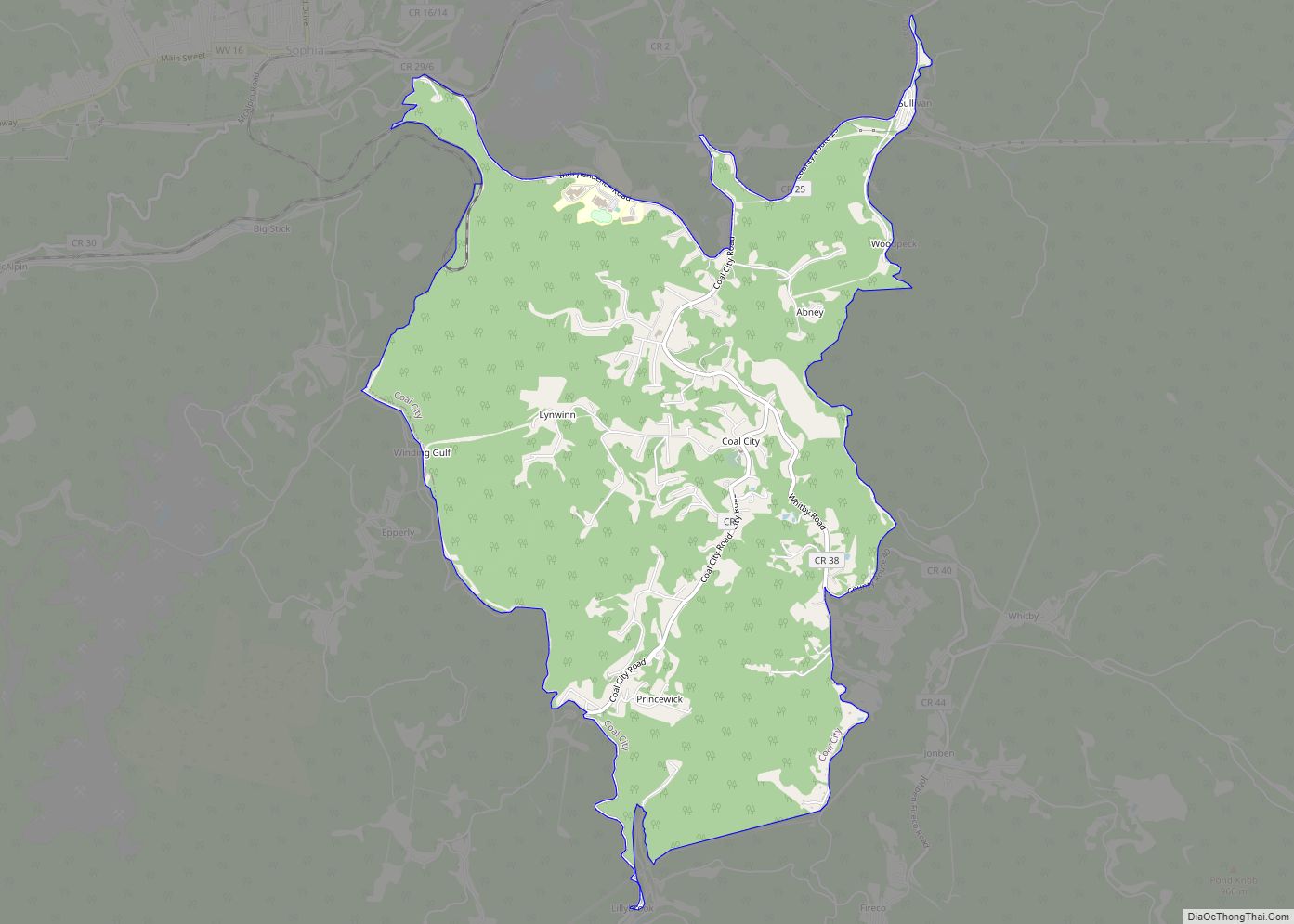
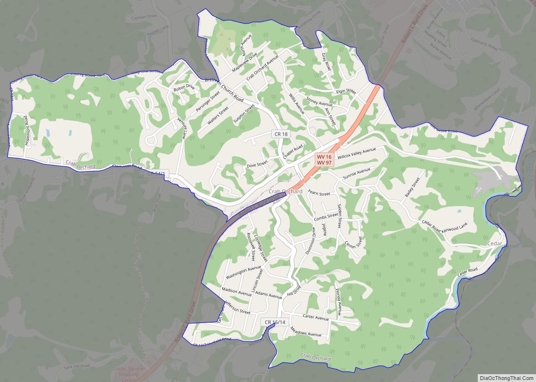
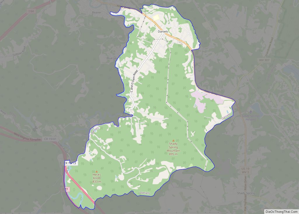
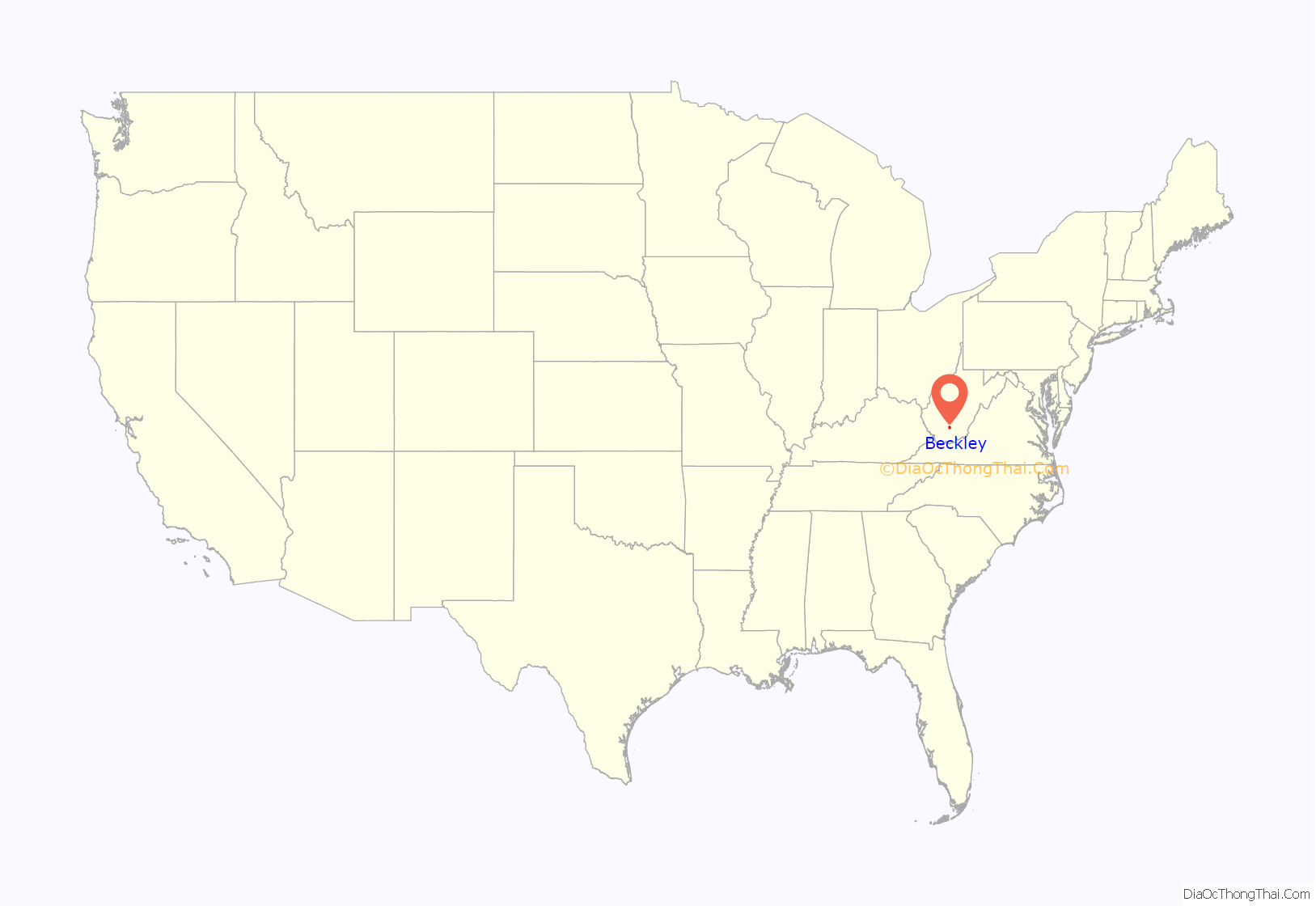
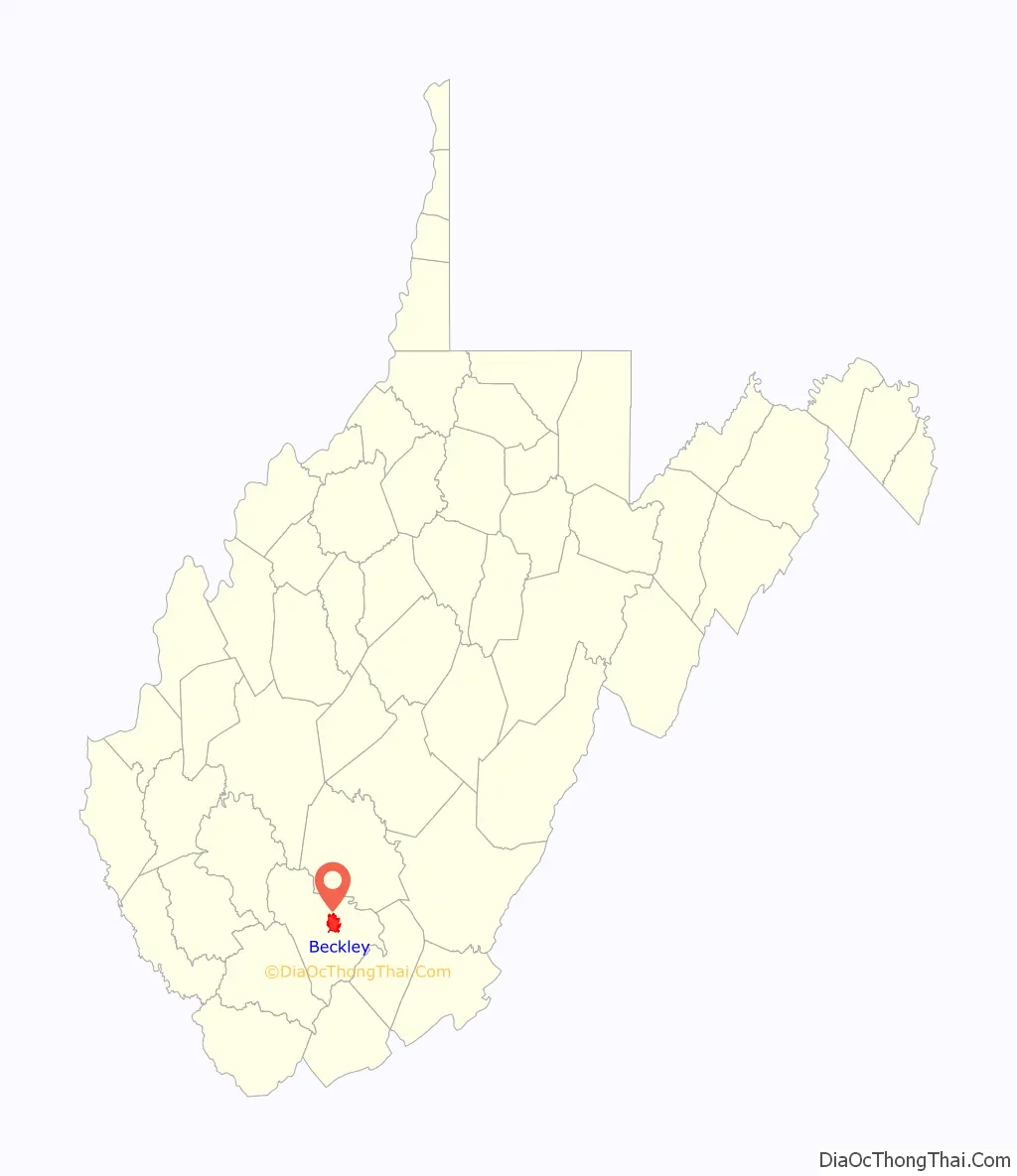
Beckley location map. Where is Beckley city?
History
The area surrounding Beckley was long home to many indigenous peoples. Early encounters describe the land as being an ancestral home of the Catawba-speaking Moneton people, who referred to the surrounding area as Okahok Amai, and were allies of the Monacan people. The Moneton’s Catawba speaking neighbors to the south, the Tutelo (since absorbed into the Seneca-Cayuga Nation) may have absorbed surviving Moneton communities, and claim the area as ancestral lands. Cherokee and Shawnee and Yuchi peoples also claim the area as included in their traditional lands. Waves of conflict and displacement connected to European settler-colonial conquest also resulted in varied communities finding home and refuge in southern West Virginia, becoming identified as Mingo — remote affiliates of the Iroquois Confederacy.
Beckley was named in honor of John James Beckley, who was the first Clerk of the House of Representatives and the first Librarian of Congress. It was founded by his son, Alfred Beckley (US Army lieutenant and brigadier general of Virginia militia), who was from the District of Columbia.
Although founded in 1838, Beckley existed only on paper at that time, “Alfred Beckley said he “was frequently jeered and laughed at for his Paper Town…” Early in its history, the town was known as Beckley, Raleigh Court House, and, occasionally, Beckleyville.
The town was originally located in Fayette County, Virginia. In 1850 the act of the Virginia legislature creating Raleigh County named Beckley the county seat. The city is sometimes called the “Smokeless Coal Capital”, “The City of Champions” and the “Gateway To Southern West Virginia.”
During the presidential primaries of 1960, the vehicles of rivals John F. Kennedy and Hubert Humphrey stopped at the same streetcorner in Beckley. Recognizing each other, the two men got out and chatted briefly.
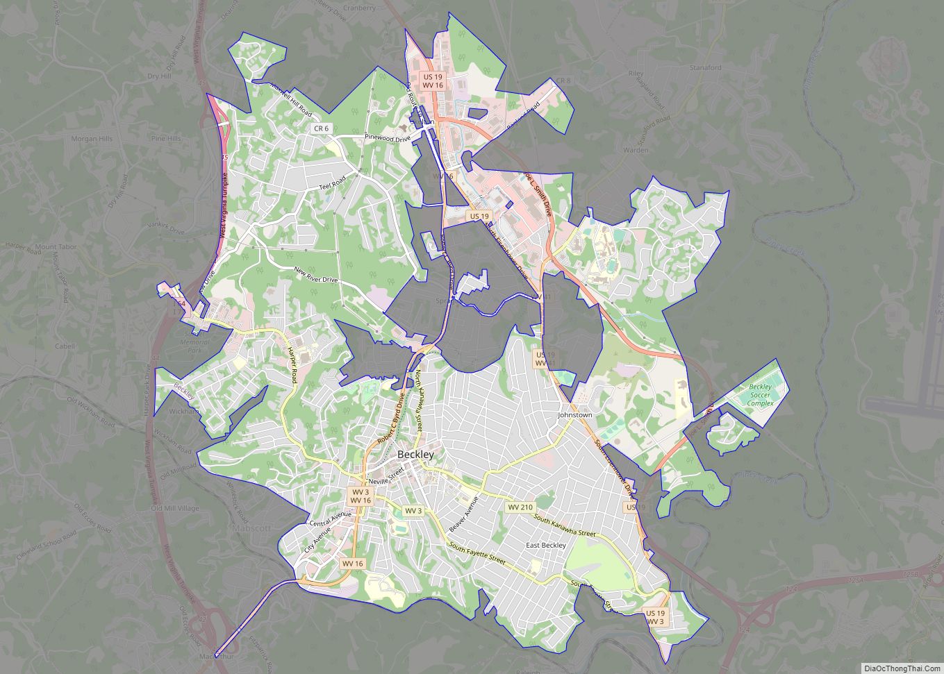
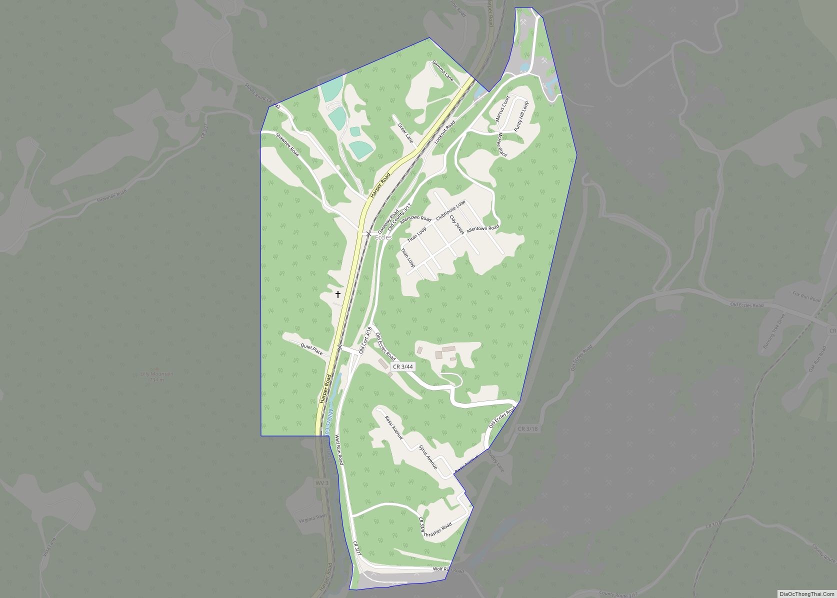
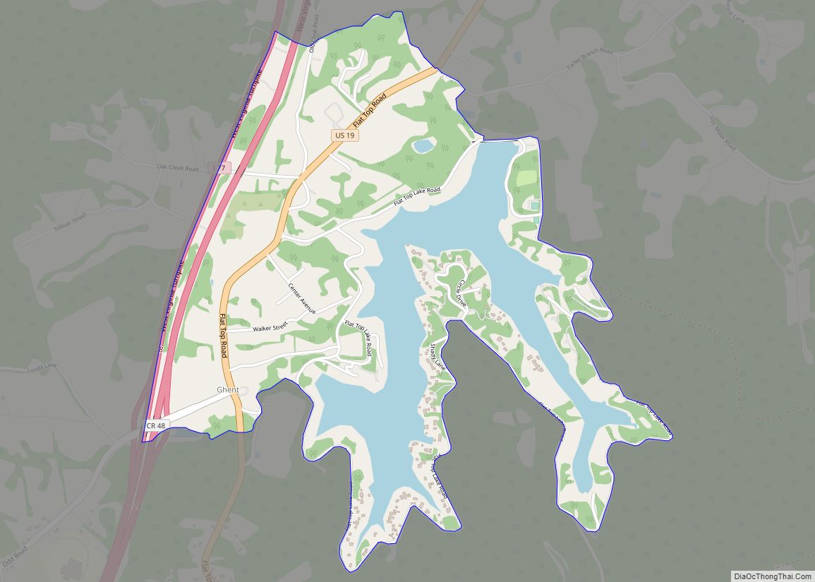
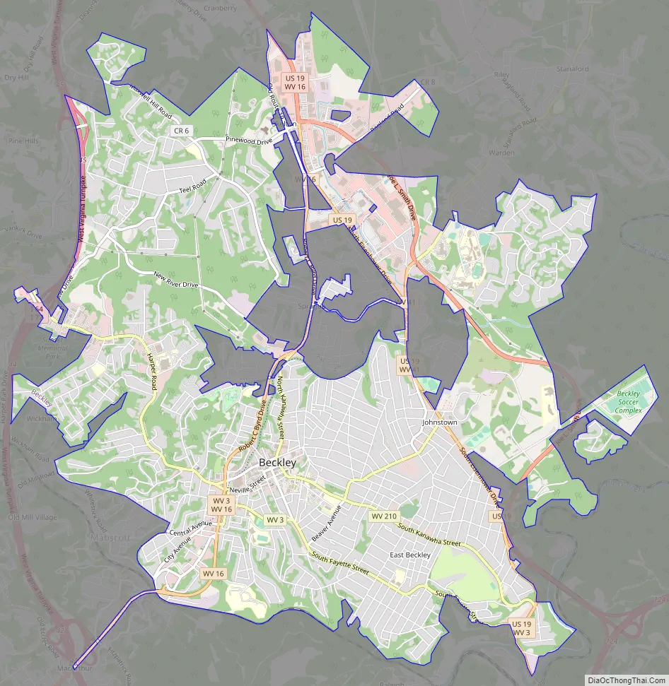
Beckley Road Map
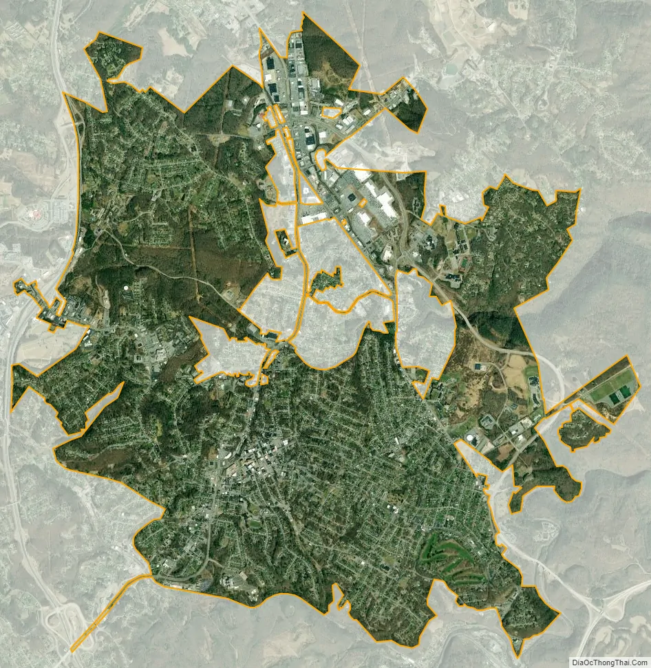
Beckley city Satellite Map
Geography
According to the United States Census Bureau, the city has a total area of 9.50 square miles (24.60 km), of which 9.49 square miles (24.58 km) is land and 0.01 square miles (0.03 km) is water.
Geology and topography
The city sits atop the Allegheny Plateau, with the more steeply eroded Logan Plateau bordering to the west and the highland Allegheny Mountains lying to the east. Neighboring ridgelines include Flat Top Mountain to the south, Scott Ridge of Shady Spring Mountain to the southeast, Batoff Mountain to the northeast, and Lilly Mountain to the west.
Water
Beckley is mostly contained in the Piney Creek watershed, which flows into the New River National Park and Reserve. The city is roughly bordered by Piney Creek to the east, and to the south by its tributary Whitestick Creek. Cranberry Creek and its southern tributary Little Whitestick Creek flow through the northern part of the city. The northwestern corner of the city, around Tamarack, includes the headwaters of Paint Creek, another New River tributary. Neighboring watersheds include Glade Creek to the east, headwaters of the Coal River to the west, and headwaters of the Guyandotte River to the southwest.
Climate
Due to its elevation, the climate of Beckley is humid subtropical (Köppen Cfa) bordering on both an oceanic (Köppen Cfb) and humid continental (Köppen Dfa/Dfb), and the city straddles the border between USDA Plant Hardiness Zones 6B and 7A. Summers are warm and humid, usually a few degrees cooler than lower-elevation places within the state, with an average of only 1.3 days of a maximum at or above 90 °F (32 °C) annually. Winters are generally cold and snowy with occasional intervening milder periods and an average of 1.4 nights annually with a minimum of 0 °F (−18 °C) or lower. Normal monthly daily mean temperatures range from 32.2 °F (0.1 °C) in January to 71.6 °F (22.0 °C) in July. Snowfall varies with an average of 55.9 inches (142 cm) per season and mostly occurs from December to March with an occasional snowfall in November of (usually) 2–3 inches (5–8 cm). Record temperatures range from −22 °F (−30 °C) on January 21, 1985, up to 103 °F (39 °C) on July 21 and August 11, 1926; the extreme coldest daily maximum was −3 °F (−19 °C) on February 13, 1899, while, conversely, the extreme warmest daily minimum was 79 °F (26 °C) on July 7, 1924 and August 22, 1926. On average, the first and last occurrences of freezing temperatures in the cooler season are October 13 and April 30, respectively, allowing for a growing season of 165 days.
See also
Map of West Virginia State and its subdivision:- Barbour
- Berkeley
- Boone
- Braxton
- Brooke
- Cabell
- Calhoun
- Clay
- Doddridge
- Fayette
- Gilmer
- Grant
- Greenbrier
- Hampshire
- Hancock
- Hardy
- Harrison
- Jackson
- Jefferson
- Kanawha
- Lewis
- Lincoln
- Logan
- Marion
- Marshall
- Mason
- McDowell
- Mercer
- Mineral
- Mingo
- Monongalia
- Monroe
- Morgan
- Nicholas
- Ohio
- Pendleton
- Pleasants
- Pocahontas
- Preston
- Putnam
- Raleigh
- Randolph
- Ritchie
- Roane
- Summers
- Taylor
- Tucker
- Tyler
- Upshur
- Wayne
- Webster
- Wetzel
- Wirt
- Wood
- Wyoming
- Alabama
- Alaska
- Arizona
- Arkansas
- California
- Colorado
- Connecticut
- Delaware
- District of Columbia
- Florida
- Georgia
- Hawaii
- Idaho
- Illinois
- Indiana
- Iowa
- Kansas
- Kentucky
- Louisiana
- Maine
- Maryland
- Massachusetts
- Michigan
- Minnesota
- Mississippi
- Missouri
- Montana
- Nebraska
- Nevada
- New Hampshire
- New Jersey
- New Mexico
- New York
- North Carolina
- North Dakota
- Ohio
- Oklahoma
- Oregon
- Pennsylvania
- Rhode Island
- South Carolina
- South Dakota
- Tennessee
- Texas
- Utah
- Vermont
- Virginia
- Washington
- West Virginia
- Wisconsin
- Wyoming