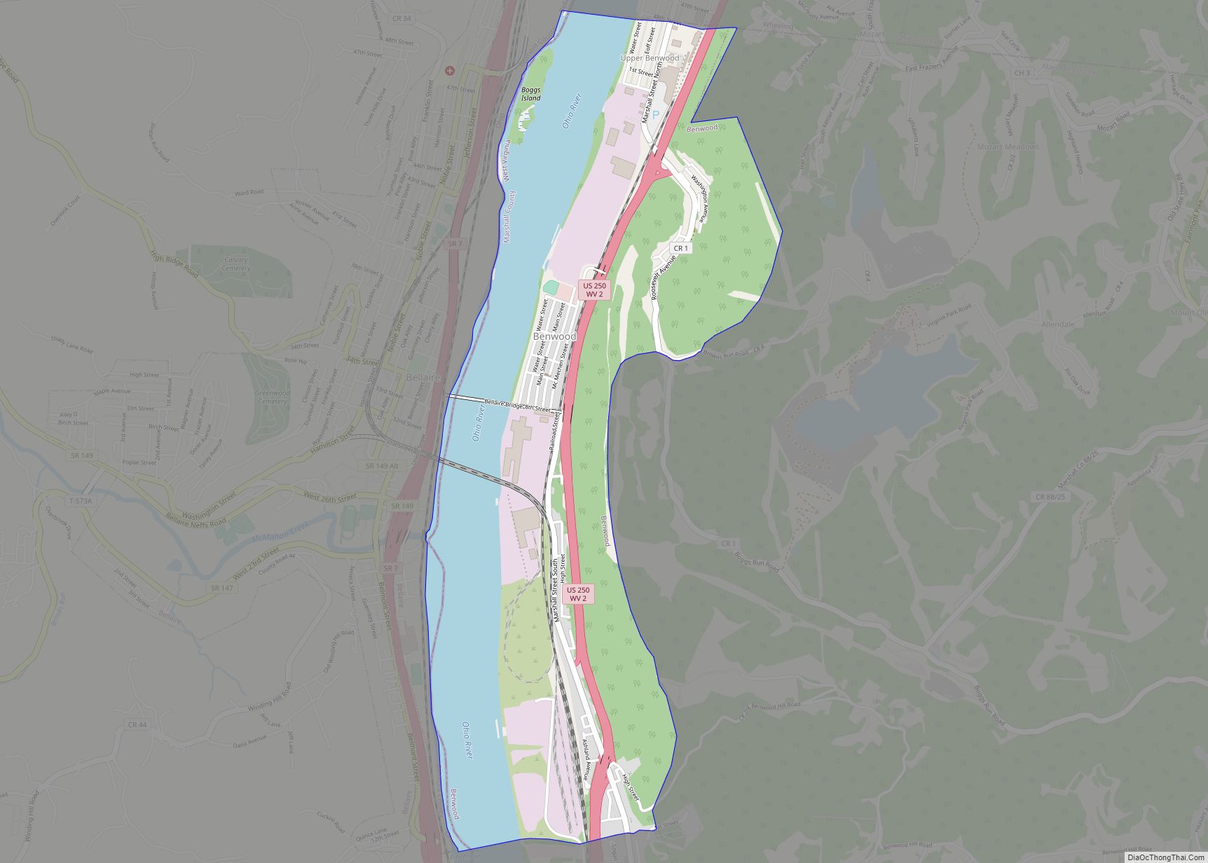
Benwood is a city in Marshall County, West Virginia, United States, along the Ohio River. It is part of the Wheeling, West Virginia Metropolitan Statistical Area. The population was 1,269 at the 2020 census.
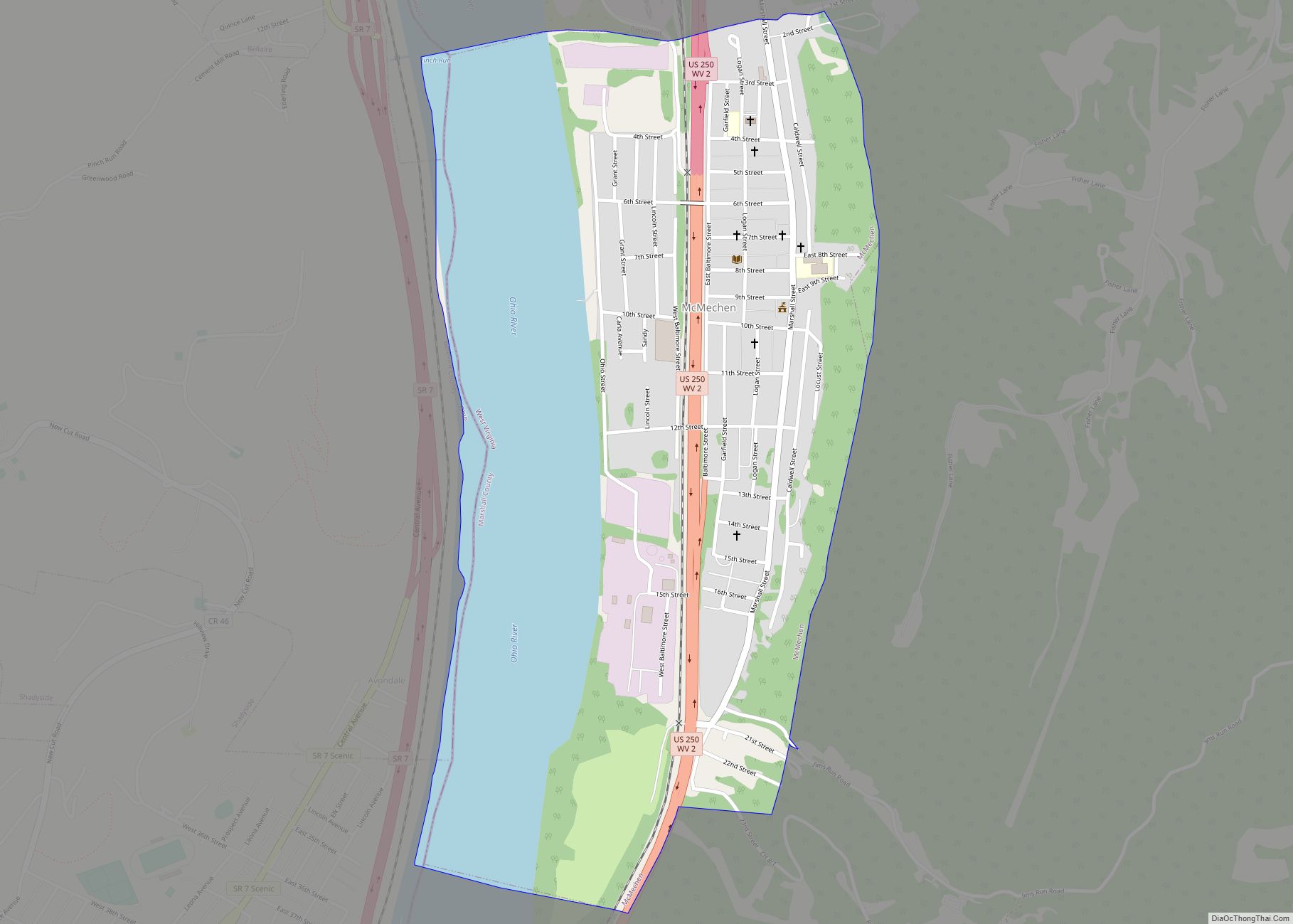
Benwood was chartered in 1853 and incorporated in 1895. The name of the city is derived from “Ben’s Woods”, as Benjamin McMechen (1777–1855) inherited that portion of land from the estate of his father, William McMechen (1724–1797), and built his homestead upon it. The neighboring city of McMechen is named after William McMechen and his family, who were among the earliest settlers of this area.
| Name: | Benwood city |
|---|---|
| LSAD Code: | 25 |
| LSAD Description: | city (suffix) |
| State: | West Virginia |
| County: | Marshall County |
| Elevation: | 646 ft (197 m) |
| Total Area: | 1.86 sq mi (4.82 km²) |
| Land Area: | 1.30 sq mi (3.36 km²) |
| Water Area: | 0.56 sq mi (1.46 km²) |
| Total Population: | 1,269 |
| Population Density: | 984.59/sq mi (380.27/km²) |
| ZIP code: | 26031 |
| Area code: | 304 |
| FIPS code: | 5406340 |
| GNISfeature ID: | 1553863 |
| Website: | www.benwoodwv.com |
Online Interactive Map
Click on ![]() to view map in "full screen" mode.
to view map in "full screen" mode.
Benwood location map. Where is Benwood city?
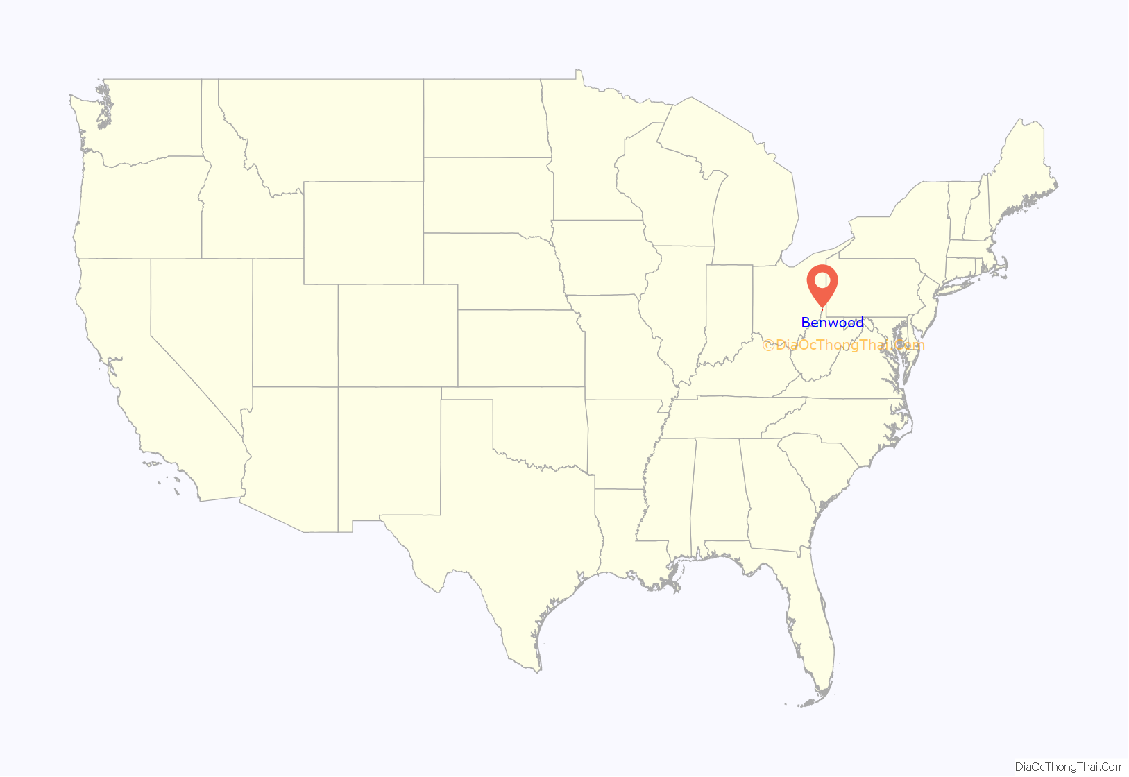

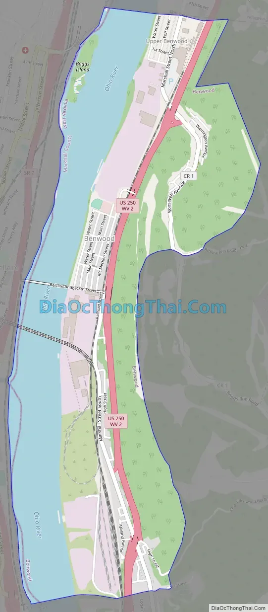
Benwood Road Map
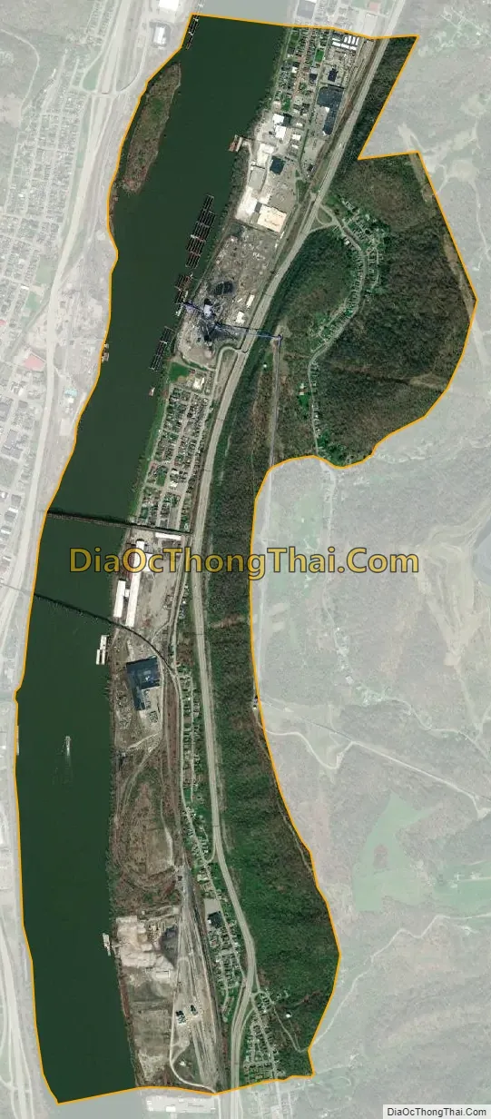
Benwood city Satellite Map
Geography
Benwood is located at 40°00′46″N 80°44′02″W / 40.012748°N 80.734008°W / 40.012748; -80.734008 (40.012748, -80.734008).
According to the United States Census Bureau, the city has a total area of 1.86 square miles (4.82 km), of which 1.30 square miles (3.37 km) is land and 0.56 square miles (1.45 km) is water.
See also
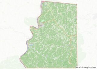
Map of West Virginia State and its subdivision:- Barbour
- Berkeley
- Boone
- Braxton
- Brooke
- Cabell
- Calhoun
- Clay
- Doddridge
- Fayette
- Gilmer
- Grant
- Greenbrier
- Hampshire
- Hancock
- Hardy
- Harrison
- Jackson
- Jefferson
- Kanawha
- Lewis
- Lincoln
- Logan
- Marion
- Marshall
- Mason
- McDowell
- Mercer
- Mineral
- Mingo
- Monongalia
- Monroe
- Morgan
- Nicholas
- Ohio
- Pendleton
- Pleasants
- Pocahontas
- Preston
- Putnam
- Raleigh
- Randolph
- Ritchie
- Roane
- Summers
- Taylor
- Tucker
- Tyler
- Upshur
- Wayne
- Webster
- Wetzel
- Wirt
- Wood
- Wyoming
- Alabama
- Alaska
- Arizona
- Arkansas
- California
- Colorado
- Connecticut
- Delaware
- District of Columbia
- Florida
- Georgia
- Hawaii
- Idaho
- Illinois
- Indiana
- Iowa
- Kansas
- Kentucky
- Louisiana
- Maine
- Maryland
- Massachusetts
- Michigan
- Minnesota
- Mississippi
- Missouri
- Montana
- Nebraska
- Nevada
- New Hampshire
- New Jersey
- New Mexico
- New York
- North Carolina
- North Dakota
- Ohio
- Oklahoma
- Oregon
- Pennsylvania
- Rhode Island
- South Carolina
- South Dakota
- Tennessee
- Texas
- Utah
- Vermont
- Virginia
- Washington
- West Virginia
- Wisconsin
- Wyoming