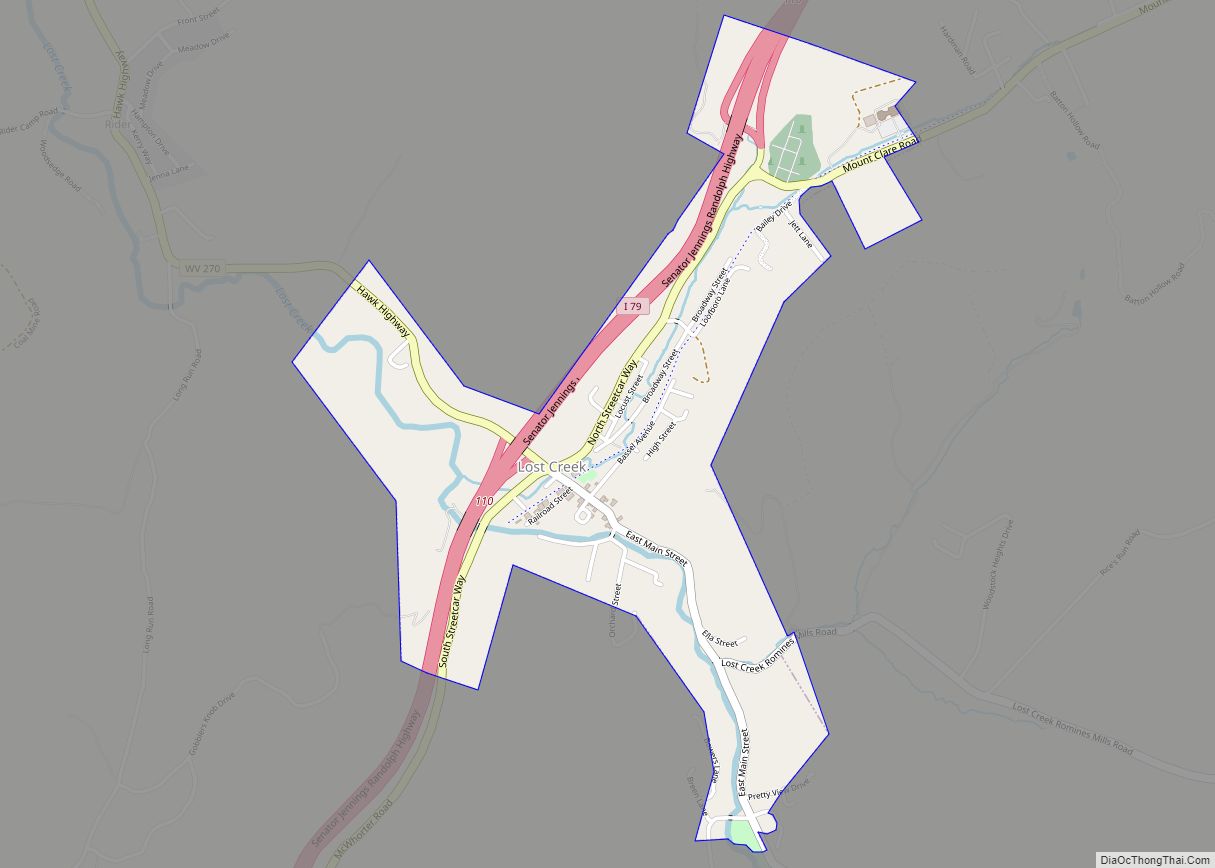
Lost Creek is a town in Harrison County, West Virginia, United States. The population was 361 at the 2020 census. Lost Creek town overview: Name: Lost Creek town LSAD Code: 43 LSAD Description: town (suffix) State: West Virginia County: Harrison County Elevation: 1,020 ft (311 m) Total Area: 0.97 sq mi (2.51 km²) Land Area: 0.97 sq mi (2.51 km²) Water Area: 0.00 sq mi ... Read more
Map of US Cities and Places
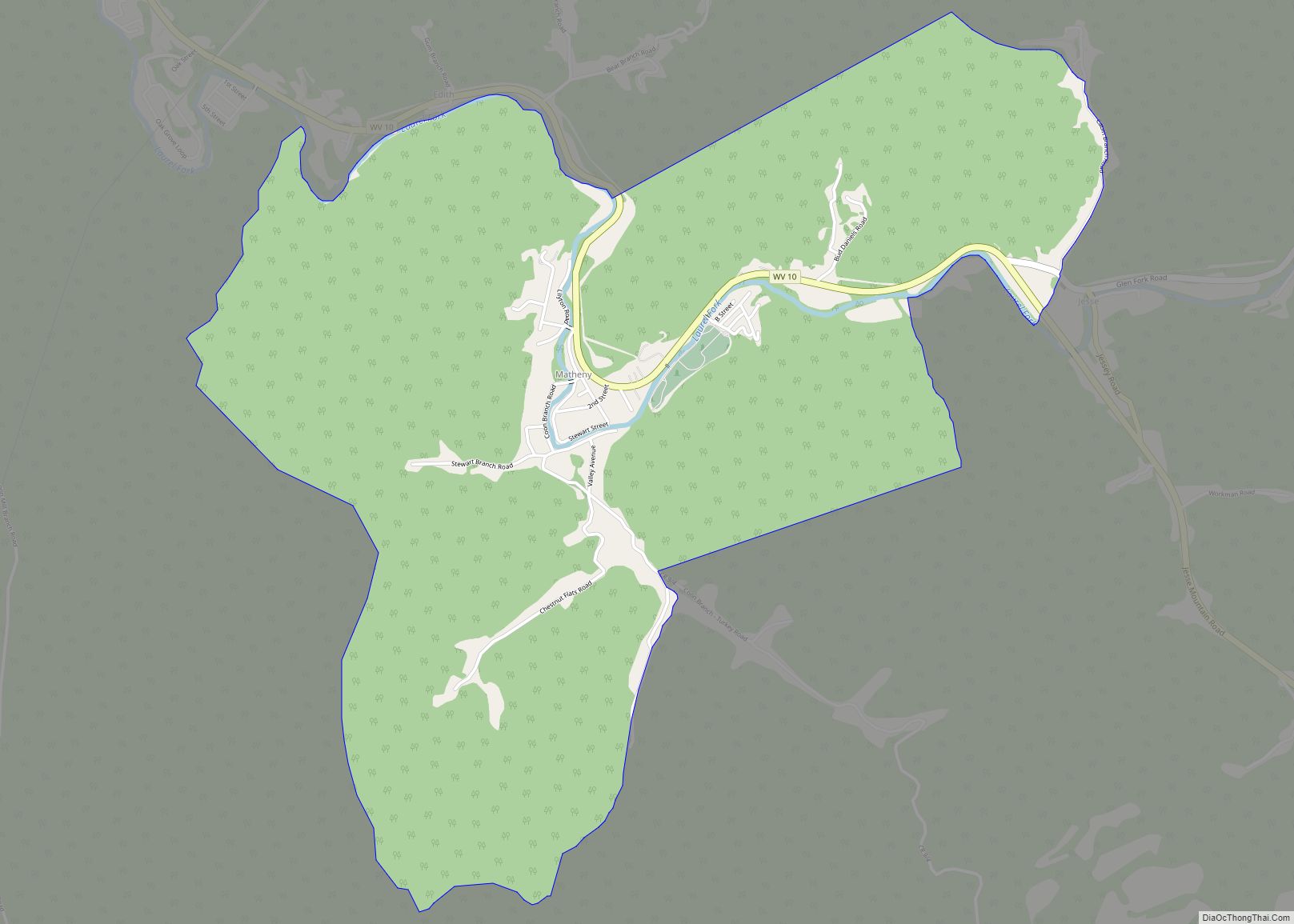
Matheny is a census-designated place (CDP) in Wyoming County, West Virginia, United States. As of the 2010 census, its population was 531. The Laurel Fork flows through the community. Matheny CDP overview: Name: Matheny CDP LSAD Code: 57 LSAD Description: CDP (suffix) State: West Virginia County: Wyoming County Total Area: 3.525 sq mi (9.13 km²) Land Area: 3.501 sq mi ... Read more
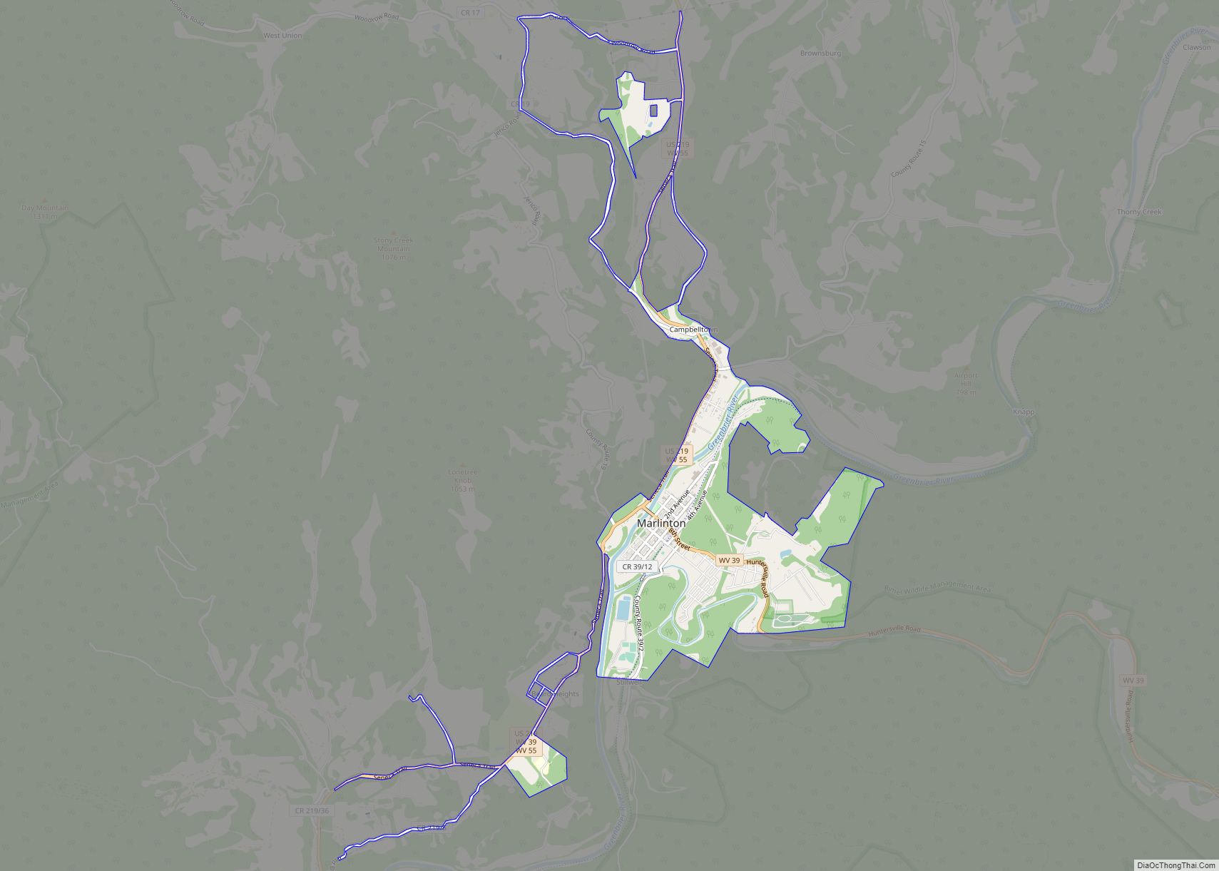
Marlinton is a town in and the county seat of Pocahontas County, West Virginia, United States. The population was 998 at the 2020 census. Located along the Greenbrier River, it is known for its scenic beauty. Marlinton town overview: Name: Marlinton town LSAD Code: 43 LSAD Description: town (suffix) State: West Virginia County: Pocahontas County ... Read more
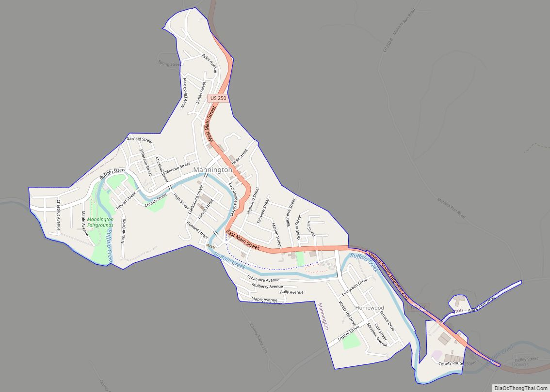
Mannington is a city in Marion County, West Virginia, United States, located in the hills of North Central West Virginia. The population was 1,961 at the 2020 census. In its earliest years it was called Forks of Buffalo or Koon Town, but has been called Mannington since 1856. Mannington city overview: Name: Mannington city LSAD ... Read more
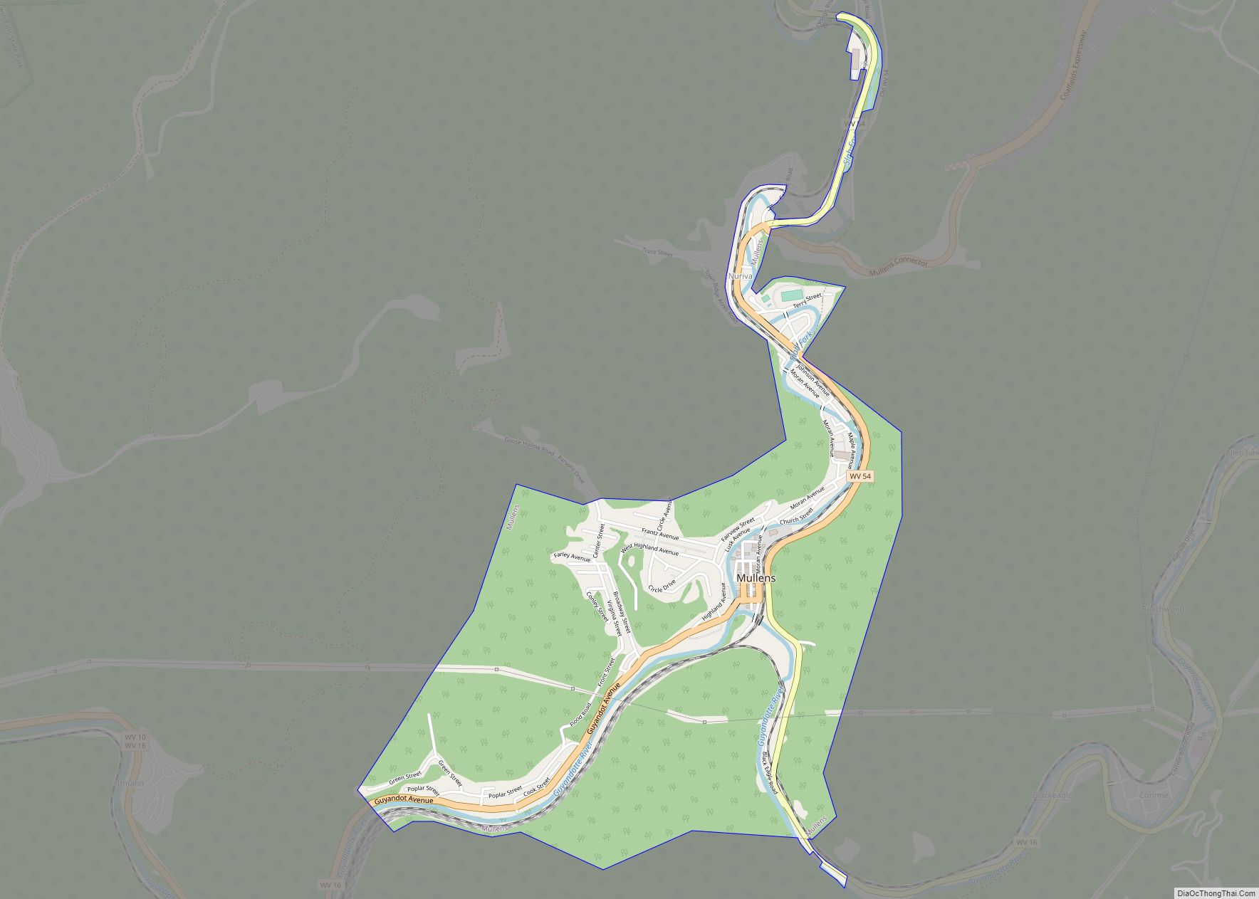
Mullens is a city in Wyoming County, West Virginia. The population was 1,475 at the time of the 2020 census. It is home to a highly rated railroad themed restaurant “Second Street”, and has a railroad crossing at the front entry of the town. Located in a valley along the Guyandotte River within a mountainous ... Read more
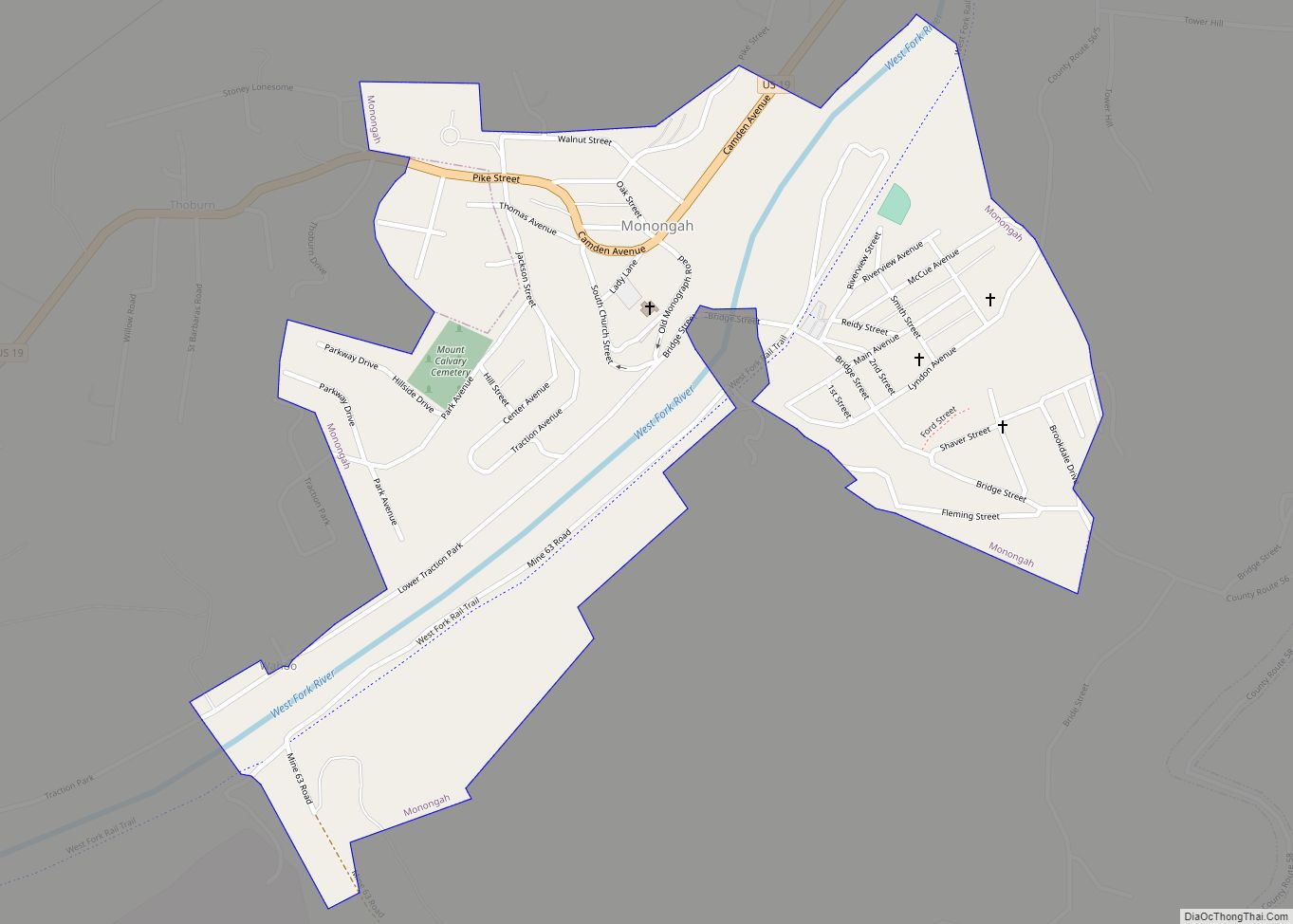
Monongah is a town in Marion County, West Virginia, United States, situated where Booths Creek flows into the West Fork River. The population was 972 at the 2020 census. Monongah was chartered in 1891, based on Chapter 47 of West Virginia code. Its name is derived from the nearby Monongahela River. Monongah town overview: Name: ... Read more
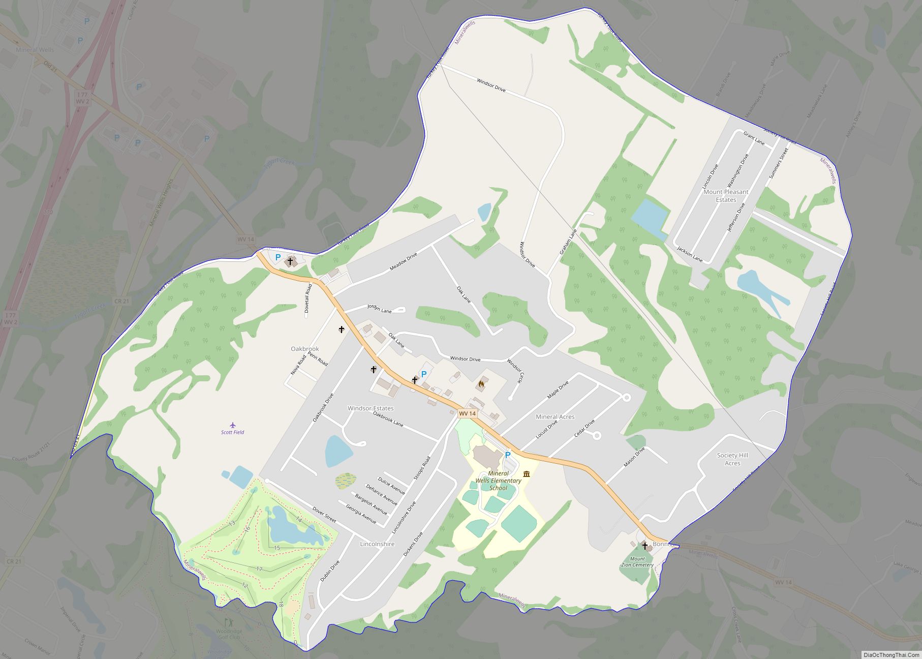
Mineralwells, also known as Mineral Wells, is a census-designated place (CDP) in Wood County, West Virginia, United States. It is part of the Parkersburg–Marietta–Vienna, WV-OH Metropolitan Statistical Area. The population was 1,950 at the 2010 census. The United States Census Bureau calls the community Mineralwells, although the United States Postal Service renamed the community’s post ... Read more
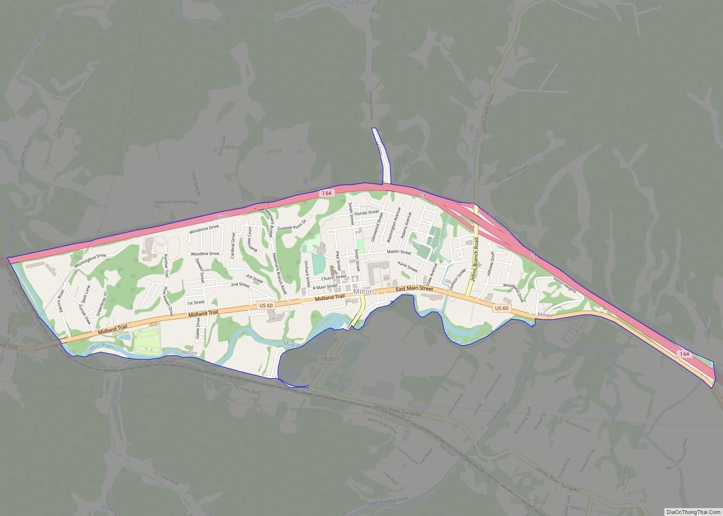
Milton is a town in Cabell County, West Virginia, United States. The population was 2,831 at the 2020 census. It is part of the Huntington–Ashland metropolitan area. Milton town overview: Name: Milton town LSAD Code: 43 LSAD Description: town (suffix) State: West Virginia County: Cabell County Elevation: 584 ft (178 m) Total Area: 2.01 sq mi (5.21 km²) Land Area: ... Read more
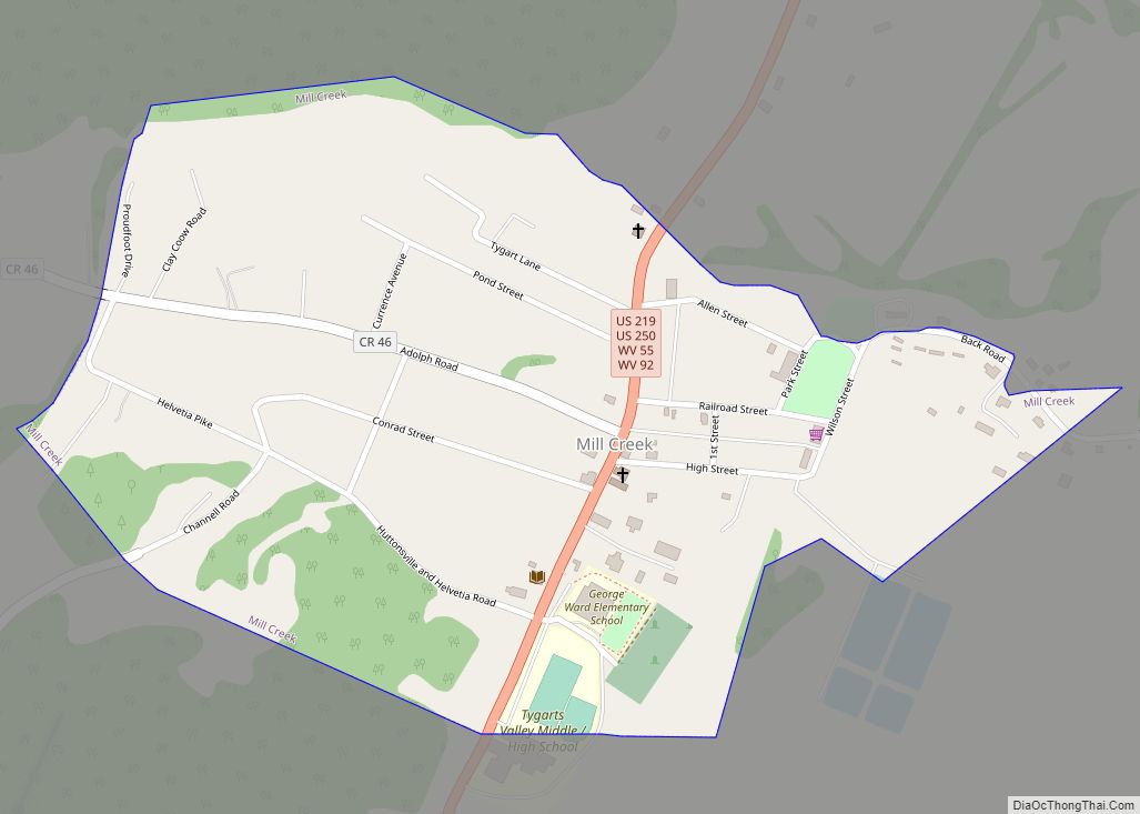
Mill Creek is a town in Randolph County, West Virginia, United States, along the Tygart Valley River. The population was 563 at the 2020 census. The town takes its name from nearby Mill Creek. Mill Creek town overview: Name: Mill Creek town LSAD Code: 43 LSAD Description: town (suffix) State: West Virginia County: Randolph County ... Read more
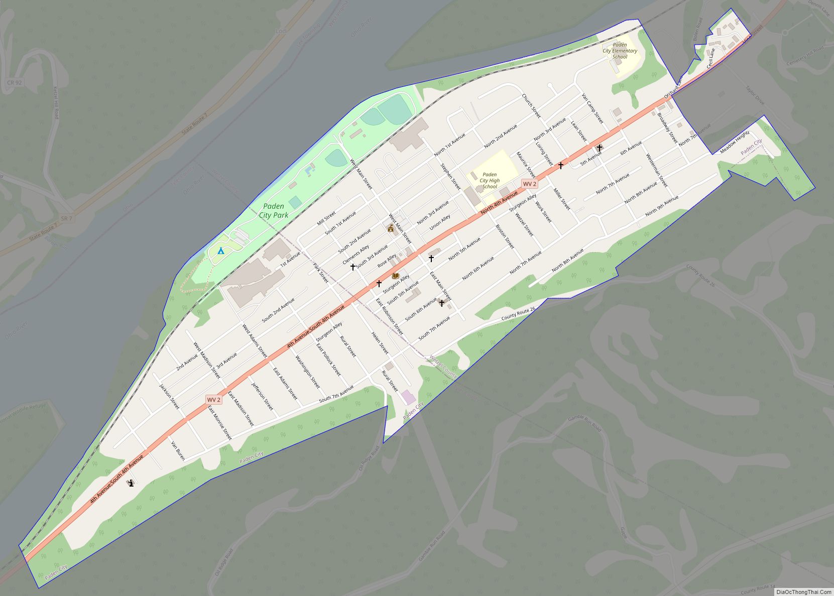
Paden City is a city in Tyler and Wetzel counties in the U.S. state of West Virginia, along the Ohio River. It was founded in 1902. The population was 2,550 at the 2020 census. The town was named for Pennsylvania-born Obediah Paden (1755-1822), a local landowner. Nearby Paden Island and Paden Fork were also named ... Read more
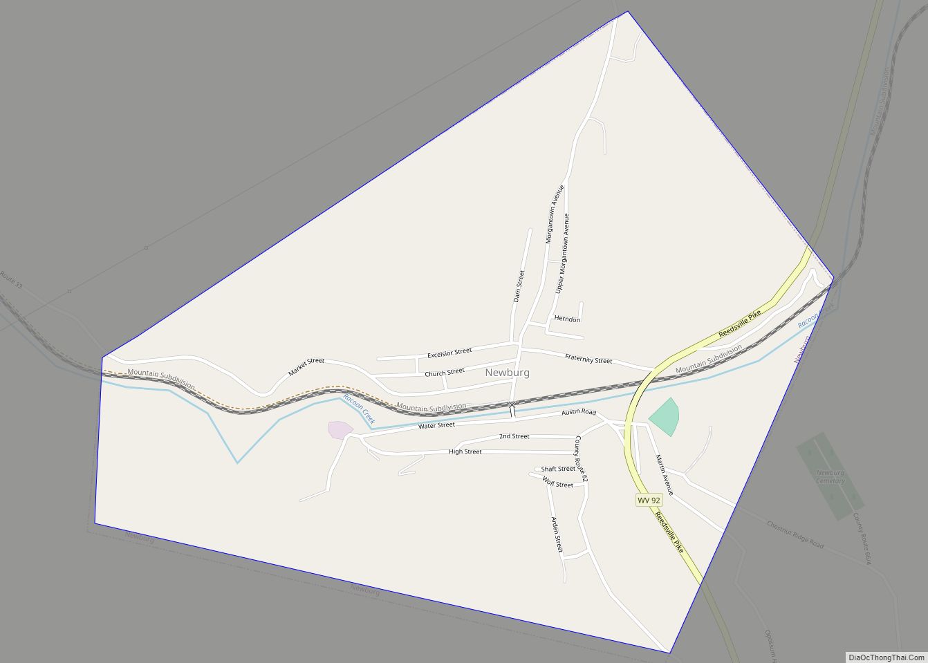
Newburg is a town in western Preston County, West Virginia, United States. The population was 275 at the 2020 census. It is part of the Morgantown metropolitan area. The town was so named on account of it being the newest town on the railroad, according to local history. Newburg town overview: Name: Newburg town LSAD ... Read more
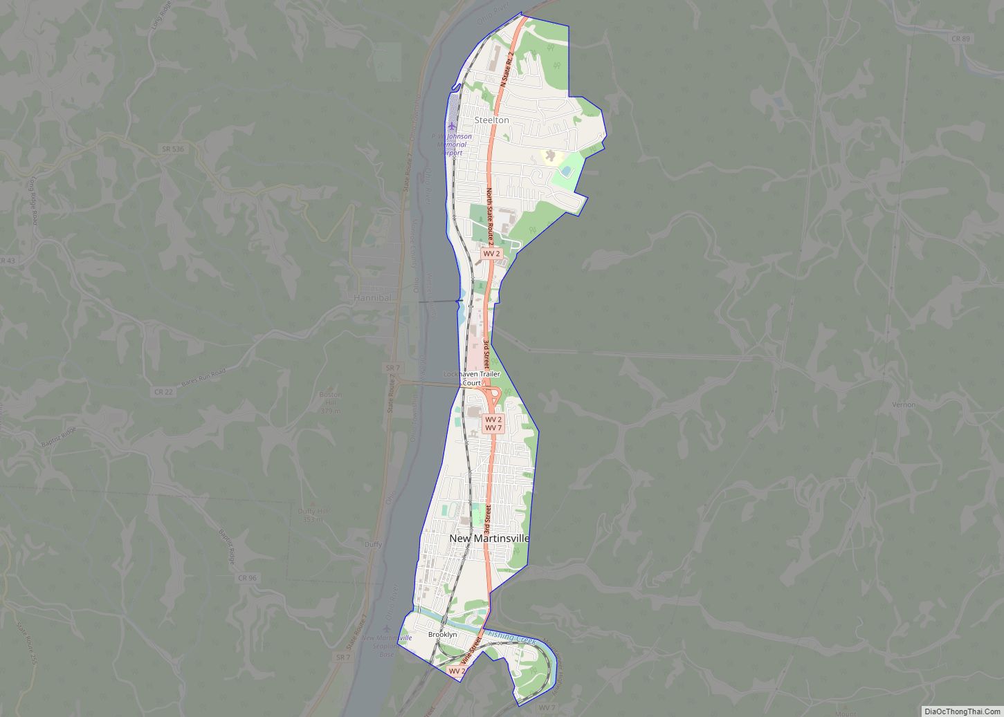
New Martinsville is a city in and the county seat of Wetzel County, West Virginia, United States, along the Ohio River. The population was 5,186 at the 2020 census. New Martinsville city overview: Name: New Martinsville city LSAD Code: 25 LSAD Description: city (suffix) State: West Virginia County: Wetzel County Elevation: 623 ft (190 m) Total Area: ... Read more
