Marlinton is a town in and the county seat of Pocahontas County, West Virginia, United States. The population was 998 at the 2020 census. Located along the Greenbrier River, it is known for its scenic beauty.
| Name: | Marlinton town |
|---|---|
| LSAD Code: | 43 |
| LSAD Description: | town (suffix) |
| State: | West Virginia |
| County: | Pocahontas County |
| Elevation: | 2,126 ft (648 m) |
| Total Area: | 2.44 sq mi (6.33 km²) |
| Land Area: | 2.35 sq mi (6.09 km²) |
| Water Area: | 0.09 sq mi (0.24 km²) |
| Total Population: | 998 |
| Population Density: | 408.76/sq mi (157.80/km²) |
| ZIP code: | 24954 |
| Area code: | 304 |
| FIPS code: | 5451676 |
| GNISfeature ID: | 1552003 |
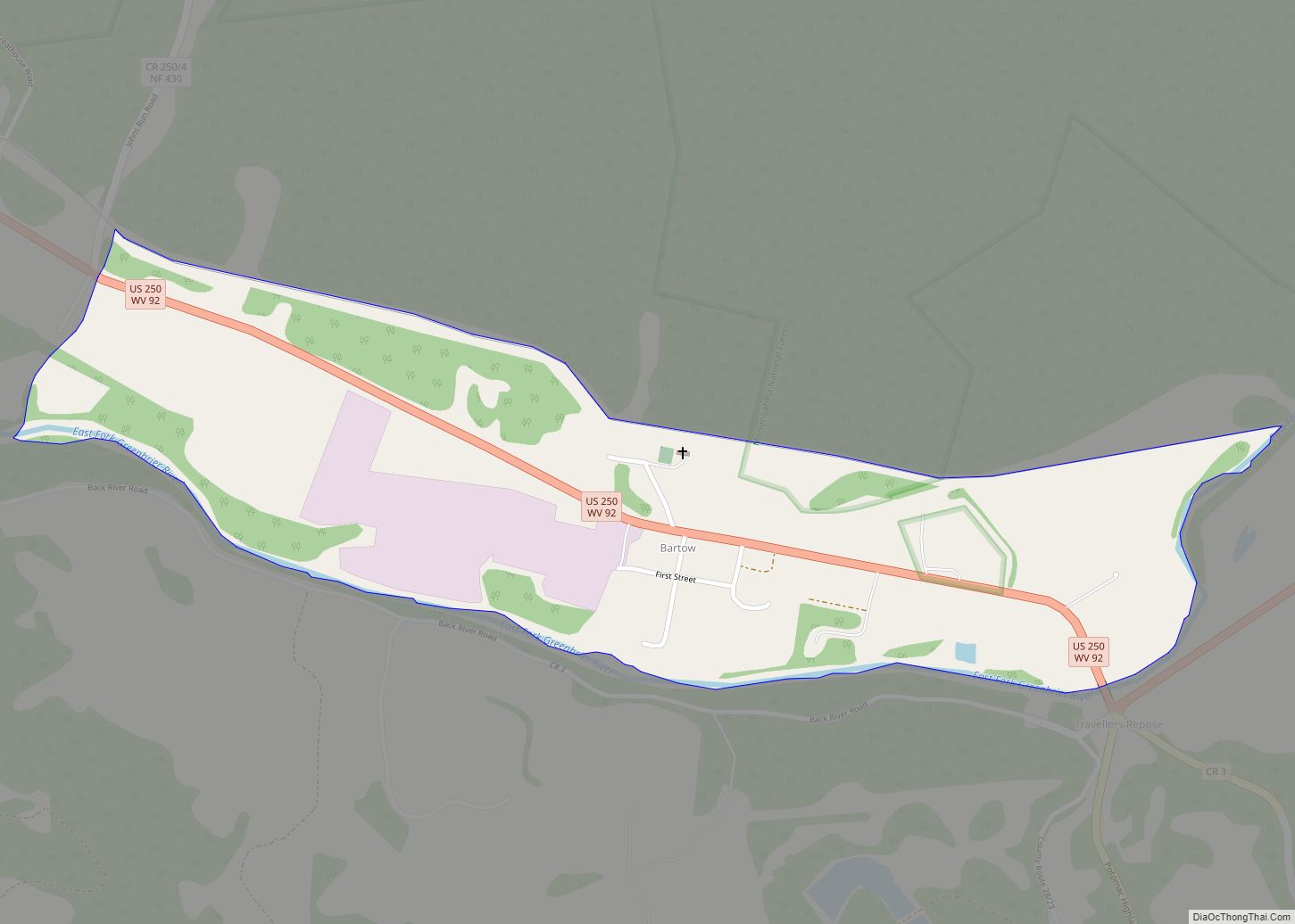
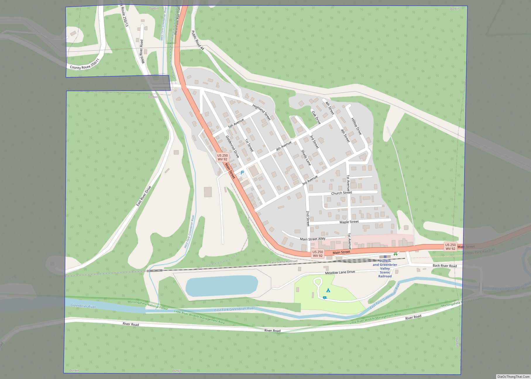
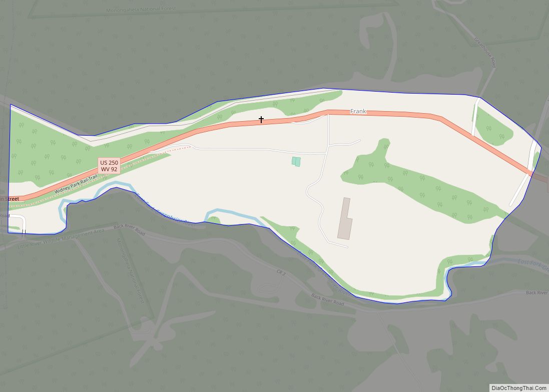
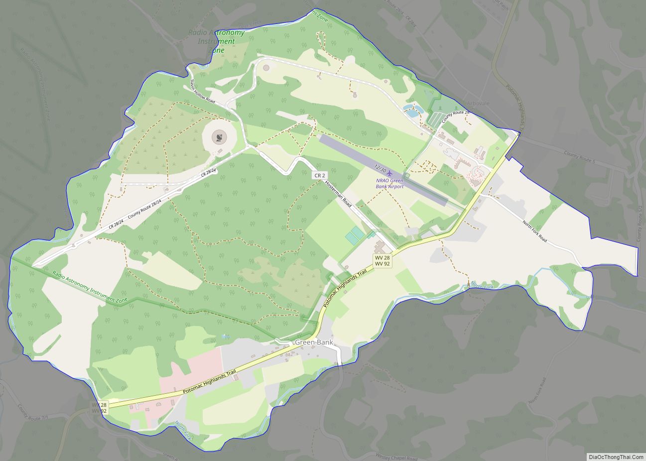
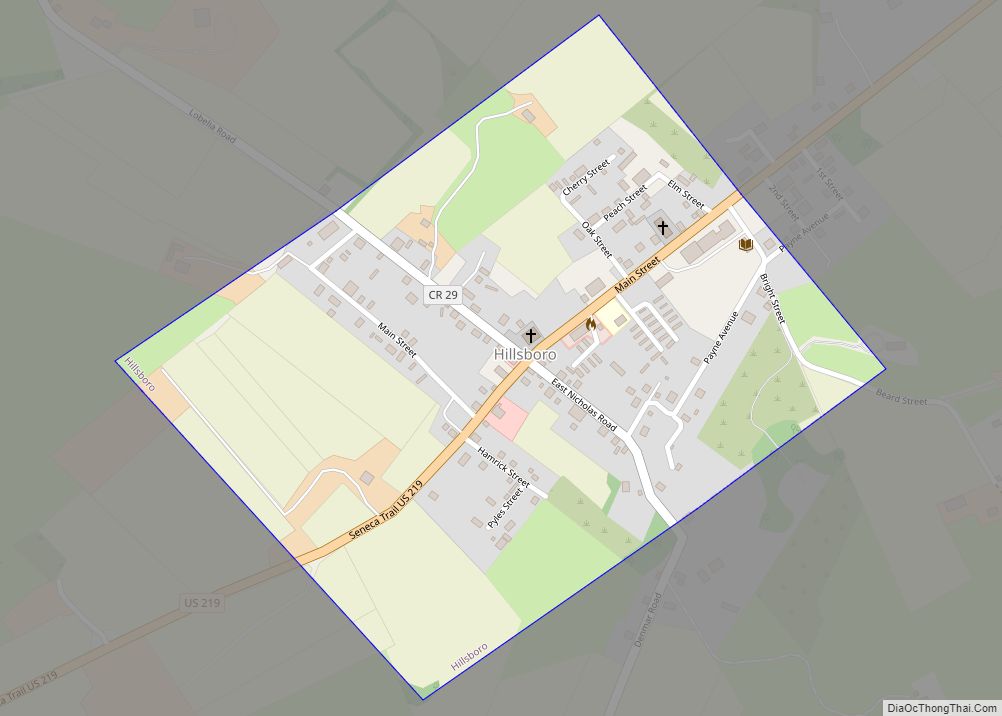
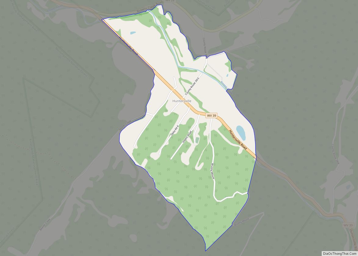
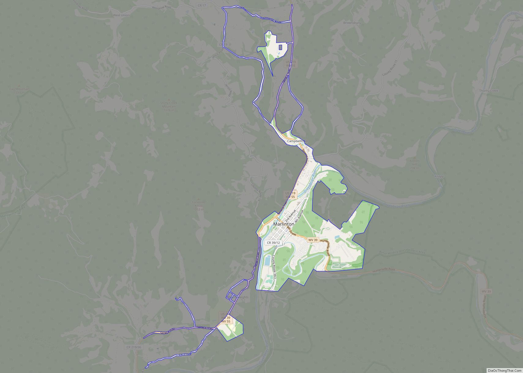
Online Interactive Map
Click on ![]() to view map in "full screen" mode.
to view map in "full screen" mode.
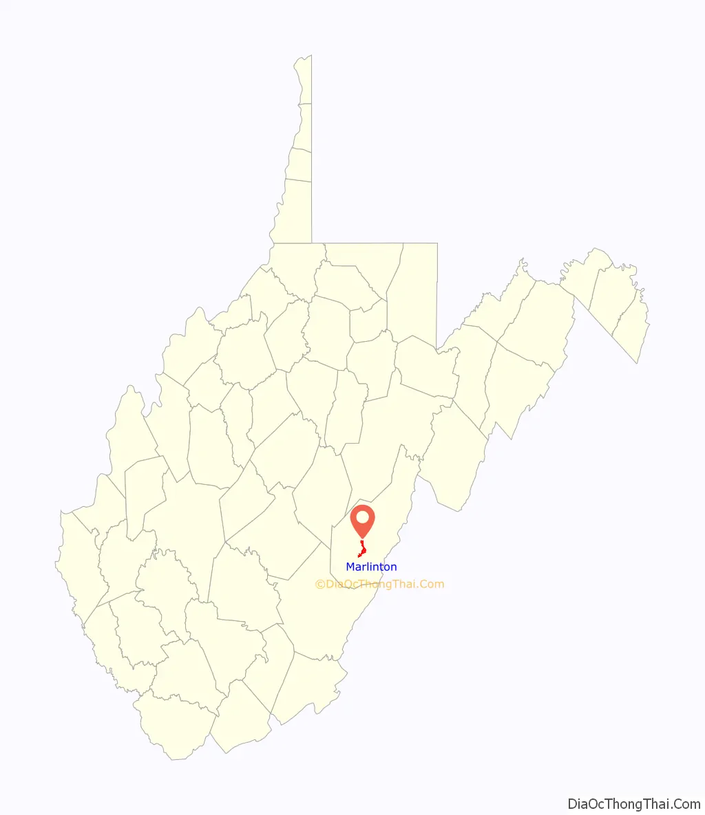
Marlinton location map. Where is Marlinton town?

History
Marlinton is named for Jacob Marlin, who, along with Stephen Sewell, became the first non-native settlers west of the Allegheny Mountains, in the Greenbrier Valley in 1749. New Englanders Marlin and Sewell built a cabin in what would become Marlinton, but after various religious disputes, Sewell moved into a nearby hollowed-out sycamore tree. In 1751, surveyor John Lewis discovered the pair. Sewell eventually settled on the eastern side of Sewell Mountain, near present-day Rainelle.
Located at Marlinton and listed on the National Register of Historic Places are the Frank and Anna Hunter House, IOOF Lodge Building, Marlinton Chesapeake and Ohio Railroad Station, Marlinton Opera House, Pocahontas County Courthouse and Jail, and Pocahontas Times Print Shop. Located near Marlinton are Droop Mountain Battlefield and New Deal Resources in Watoga State Park Historic District.
As a result of its rural location and proximity to the facilities of the United States National Radio Quiet Zone, the town has been a late adopter of broadband Internet. A 2018 article in Motherboard explains that the nearby Snowshoe Mountain ski resort has been able to provide fast internet, WiFi, and cell phone coverage by having a custom system built which is specially designed so as not to interfere with radio telescopes.
Marlinton Road Map

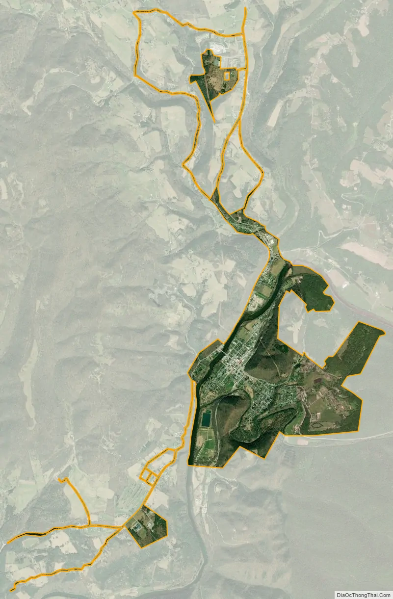
Marlinton city Satellite Map
Geography
According to the United States Census Bureau, the town has a total area of 2.53 square miles (6.55 km), of which 2.44 square miles (6.32 km) is land and 0.09 square miles (0.23 km) is water. It is located in the southwest part of the United States National Radio Quiet Zone.
Climate
The climate in this area has mild differences between highs and lows, and there is adequate rainfall year-round. According to the Köppen Climate Classification system, Marlinton has a marine west coast climate, abbreviated “Cfb” on climate maps.
See also
Map of West Virginia State and its subdivision:- Barbour
- Berkeley
- Boone
- Braxton
- Brooke
- Cabell
- Calhoun
- Clay
- Doddridge
- Fayette
- Gilmer
- Grant
- Greenbrier
- Hampshire
- Hancock
- Hardy
- Harrison
- Jackson
- Jefferson
- Kanawha
- Lewis
- Lincoln
- Logan
- Marion
- Marshall
- Mason
- McDowell
- Mercer
- Mineral
- Mingo
- Monongalia
- Monroe
- Morgan
- Nicholas
- Ohio
- Pendleton
- Pleasants
- Pocahontas
- Preston
- Putnam
- Raleigh
- Randolph
- Ritchie
- Roane
- Summers
- Taylor
- Tucker
- Tyler
- Upshur
- Wayne
- Webster
- Wetzel
- Wirt
- Wood
- Wyoming
- Alabama
- Alaska
- Arizona
- Arkansas
- California
- Colorado
- Connecticut
- Delaware
- District of Columbia
- Florida
- Georgia
- Hawaii
- Idaho
- Illinois
- Indiana
- Iowa
- Kansas
- Kentucky
- Louisiana
- Maine
- Maryland
- Massachusetts
- Michigan
- Minnesota
- Mississippi
- Missouri
- Montana
- Nebraska
- Nevada
- New Hampshire
- New Jersey
- New Mexico
- New York
- North Carolina
- North Dakota
- Ohio
- Oklahoma
- Oregon
- Pennsylvania
- Rhode Island
- South Carolina
- South Dakota
- Tennessee
- Texas
- Utah
- Vermont
- Virginia
- Washington
- West Virginia
- Wisconsin
- Wyoming