Ordway is a Statutory Town in and the county seat of Crowley County, Colorado, United States, that is also the most populous community in the county. The population was 1,066 at the 2020 census.
| Name: | Ordway town |
|---|---|
| LSAD Code: | 43 |
| LSAD Description: | town (suffix) |
| State: | Colorado |
| County: | Crowley County |
| Elevation: | 4,311 ft (1,314 m) |
| Total Area: | 0.77 sq mi (2.00 km²) |
| Land Area: | 0.77 sq mi (2.00 km²) |
| Water Area: | 0.00 sq mi (0.00 km²) |
| Total Population: | 1,066 |
| Population Density: | 1,400/sq mi (530/km²) |
| ZIP code: | 81063 |
| Area code: | 719 |
| FIPS code: | 0856145 |
| GNISfeature ID: | 0203804 |
| Website: | www.townofordway.com |
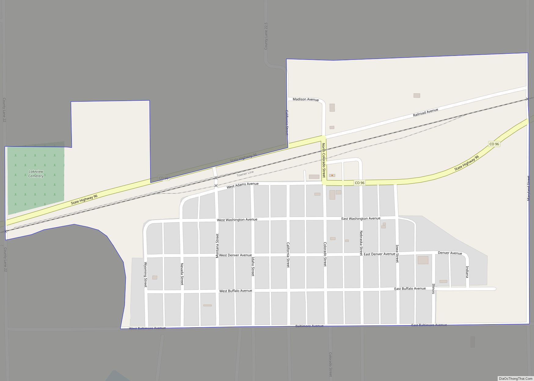
Online Interactive Map
Click on ![]() to view map in "full screen" mode.
to view map in "full screen" mode.
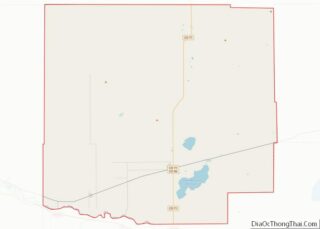
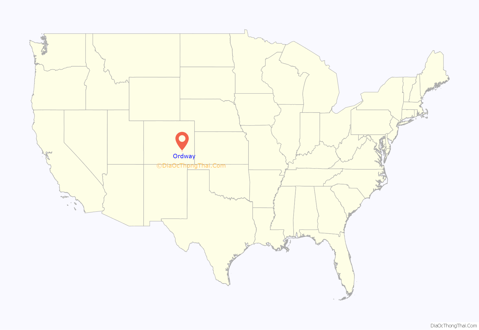
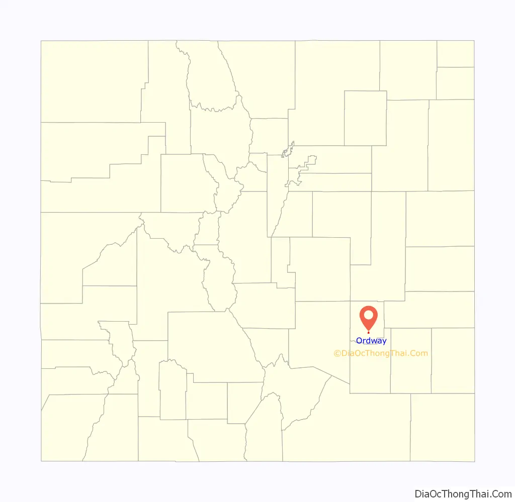
Ordway location map. Where is Ordway town?
History
A post office called Ordway has been in operation since 1890. The community was named after George N. Ordway, a Denver politician.
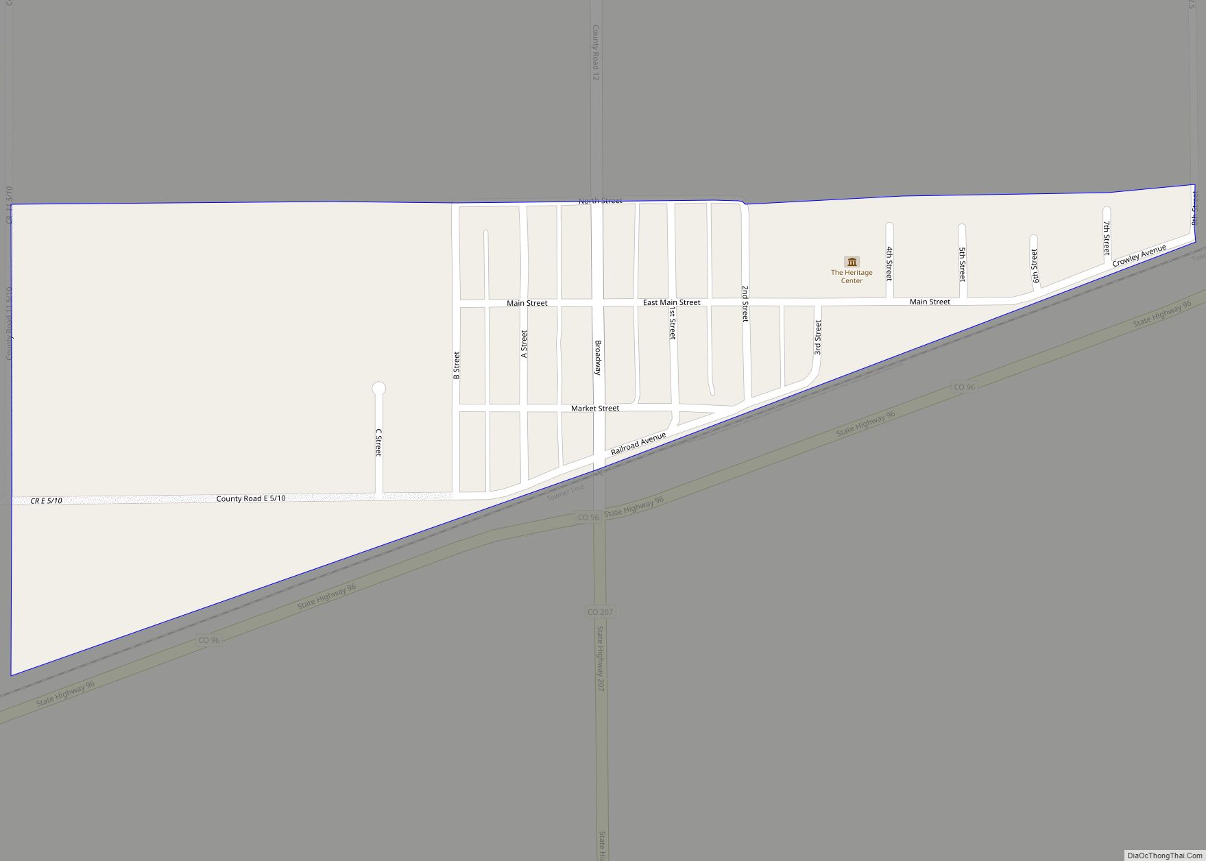
Ordway Road Map
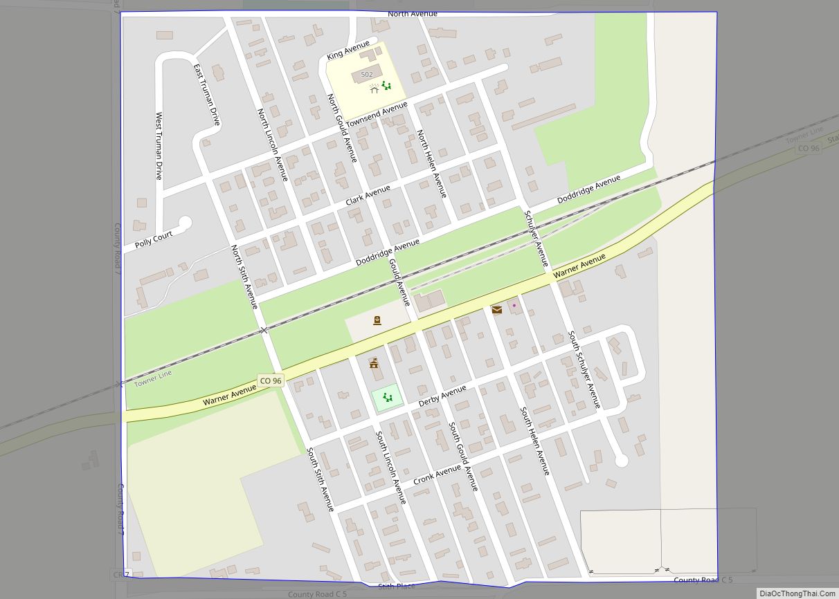
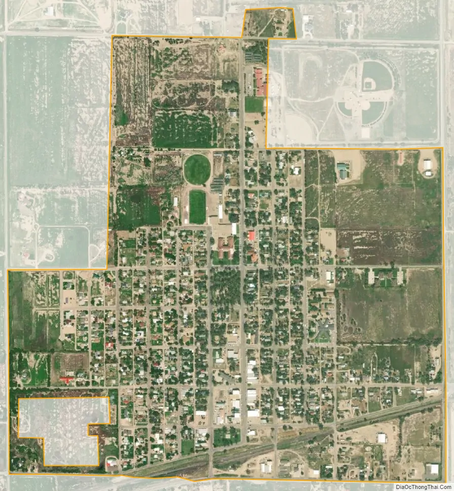
Ordway city Satellite Map
Geography
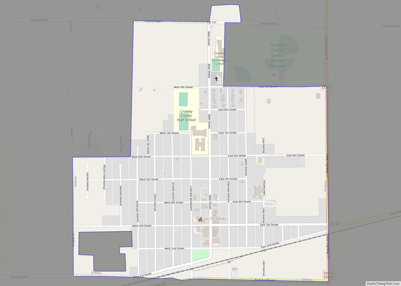
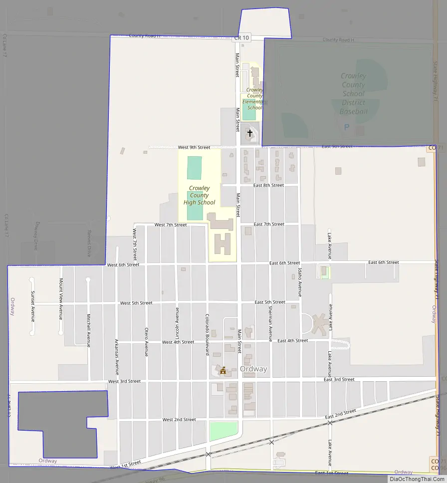
Ordway is located in south-central Crowley County at 38°13′11″N 103°45′26″W / 38.21972°N 103.75722°W / 38.21972; -103.75722 (38.219633, -103.757264). State Highway 96 runs along the southern edge of the town, leading west 49 miles (79 km) to Pueblo and east 60 miles (97 km) to Eads. Highway 71 runs along the eastern edge of the town and leads south 11 miles (18 km) to U.S. Route 50 near Rocky Ford and north 75 miles (121 km) to Interstate 70 at Limon.
According to the United States Census Bureau, Ordway has a total area of 0.8 square miles (2.1 km), all of it land.
See also
Map of Colorado State and its subdivision:- Adams
- Alamosa
- Arapahoe
- Archuleta
- Baca
- Bent
- Boulder
- Broomfield
- Chaffee
- Cheyenne
- Clear Creek
- Conejos
- Costilla
- Crowley
- Custer
- Delta
- Denver
- Dolores
- Douglas
- Eagle
- El Paso
- Elbert
- Fremont
- Garfield
- Gilpin
- Grand
- Gunnison
- Hinsdale
- Huerfano
- Jackson
- Jefferson
- Kiowa
- Kit Carson
- La Plata
- Lake
- Larimer
- Las Animas
- Lincoln
- Logan
- Mesa
- Mineral
- Moffat
- Montezuma
- Montrose
- Morgan
- Otero
- Ouray
- Park
- Phillips
- Pitkin
- Prowers
- Pueblo
- Rio Blanco
- Rio Grande
- Routt
- Saguache
- San Juan
- San Miguel
- Sedgwick
- Summit
- Teller
- Washington
- Weld
- Yuma
- Alabama
- Alaska
- Arizona
- Arkansas
- California
- Colorado
- Connecticut
- Delaware
- District of Columbia
- Florida
- Georgia
- Hawaii
- Idaho
- Illinois
- Indiana
- Iowa
- Kansas
- Kentucky
- Louisiana
- Maine
- Maryland
- Massachusetts
- Michigan
- Minnesota
- Mississippi
- Missouri
- Montana
- Nebraska
- Nevada
- New Hampshire
- New Jersey
- New Mexico
- New York
- North Carolina
- North Dakota
- Ohio
- Oklahoma
- Oregon
- Pennsylvania
- Rhode Island
- South Carolina
- South Dakota
- Tennessee
- Texas
- Utah
- Vermont
- Virginia
- Washington
- West Virginia
- Wisconsin
- Wyoming