Olney Springs is a Statutory Town in Crowley County, Colorado, United States. The population was 315 at the 2020 census.
| Name: | Olney Springs town |
|---|---|
| LSAD Code: | 43 |
| LSAD Description: | town (suffix) |
| State: | Colorado |
| County: | Crowley County |
| Elevation: | 4,383 ft (1,336 m) |
| Total Area: | 0.24 sq mi (0.62 km²) |
| Land Area: | 0.24 sq mi (0.62 km²) |
| Water Area: | 0.00 sq mi (0.00 km²) |
| Total Population: | 315 |
| Population Density: | 1,300/sq mi (510/km²) |
| ZIP code: | 81062 |
| Area code: | 719 |
| FIPS code: | 0855705 |
| GNISfeature ID: | 0195368 |
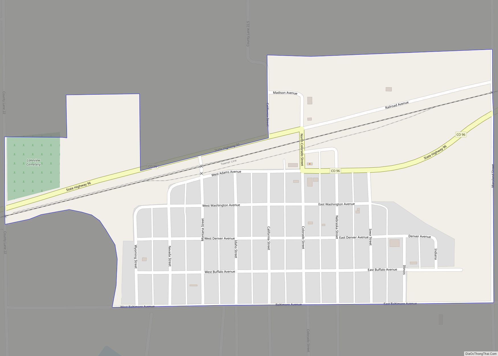
Online Interactive Map
Click on ![]() to view map in "full screen" mode.
to view map in "full screen" mode.
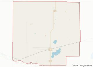
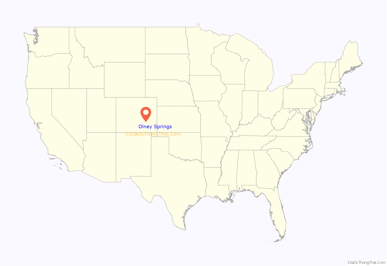
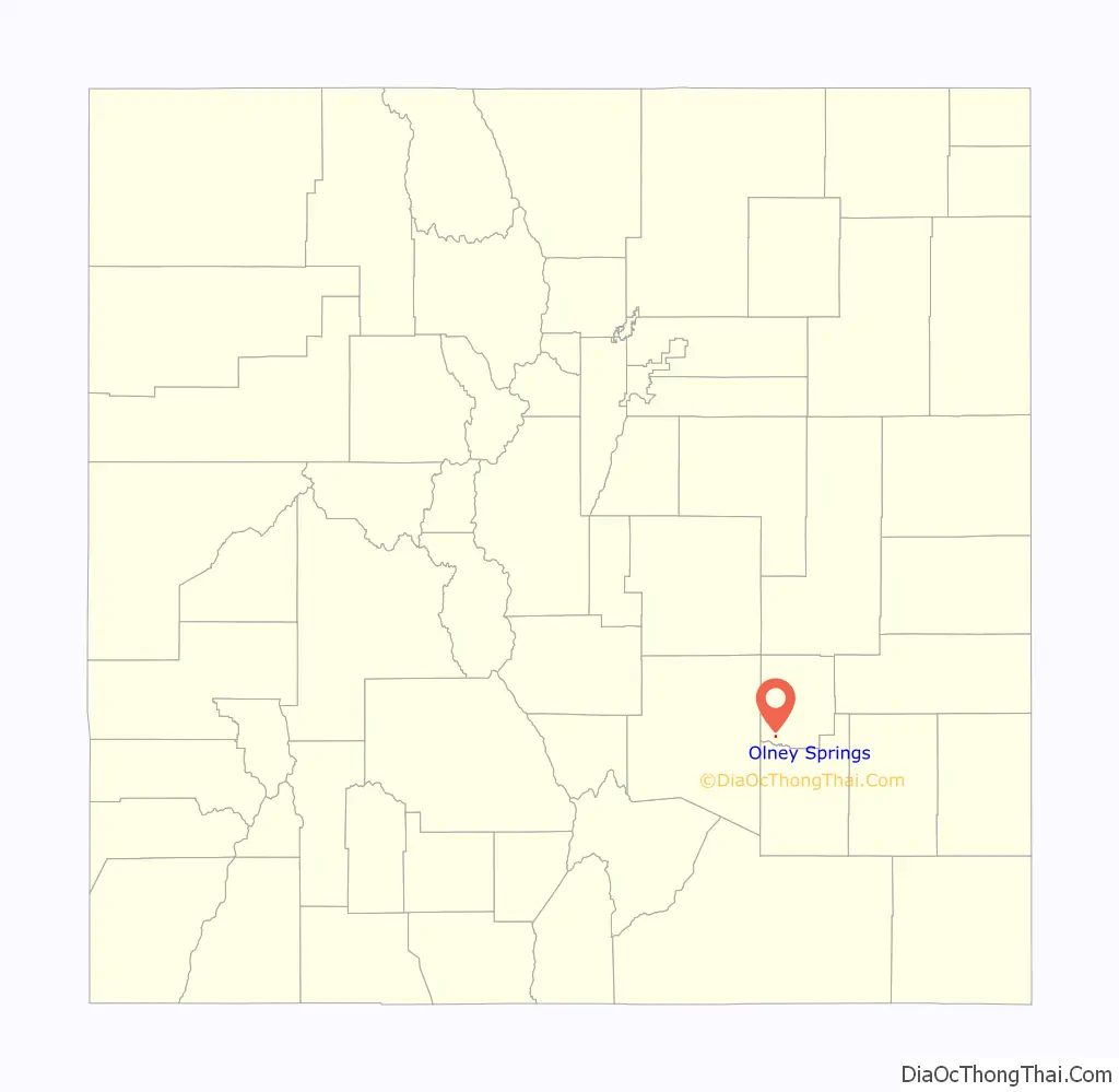
Olney Springs location map. Where is Olney Springs town?
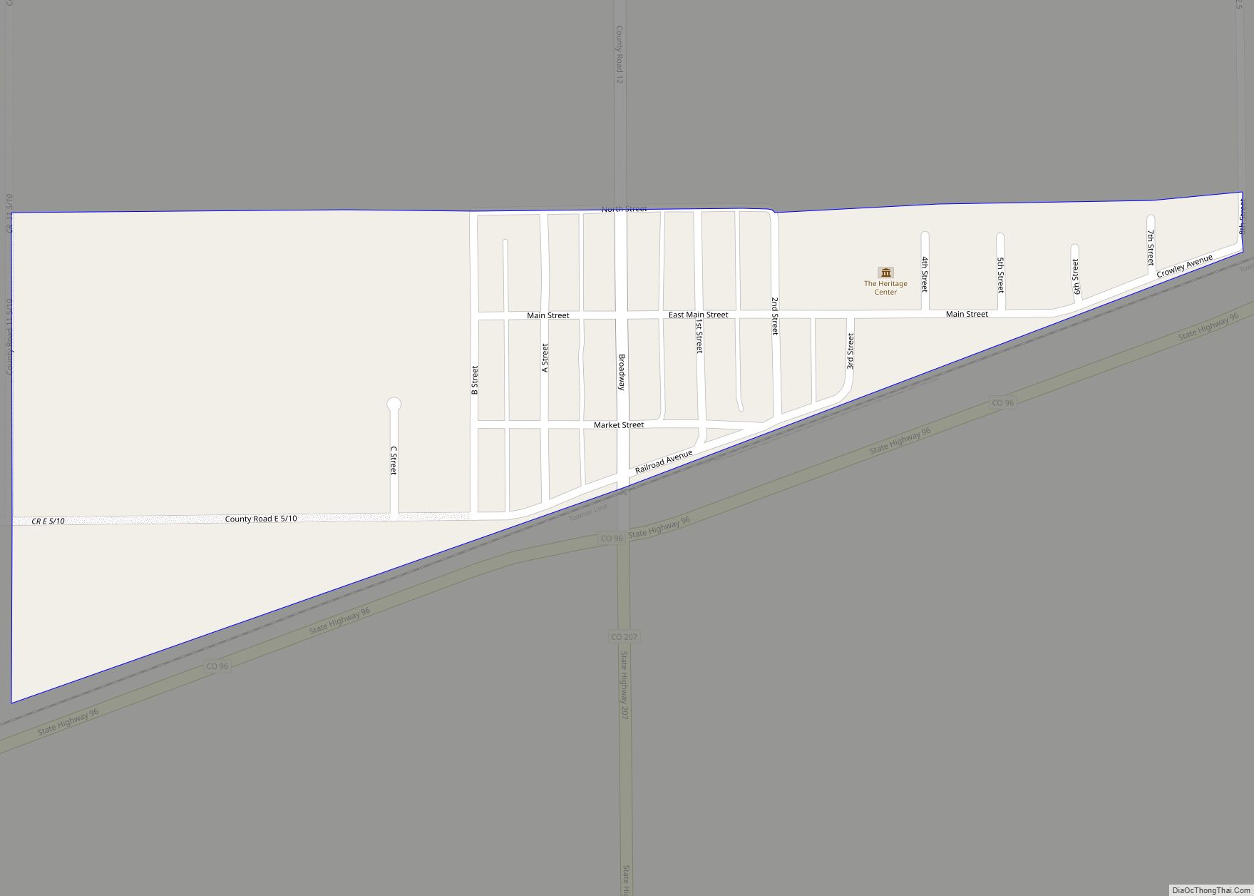
Olney Springs Road Map
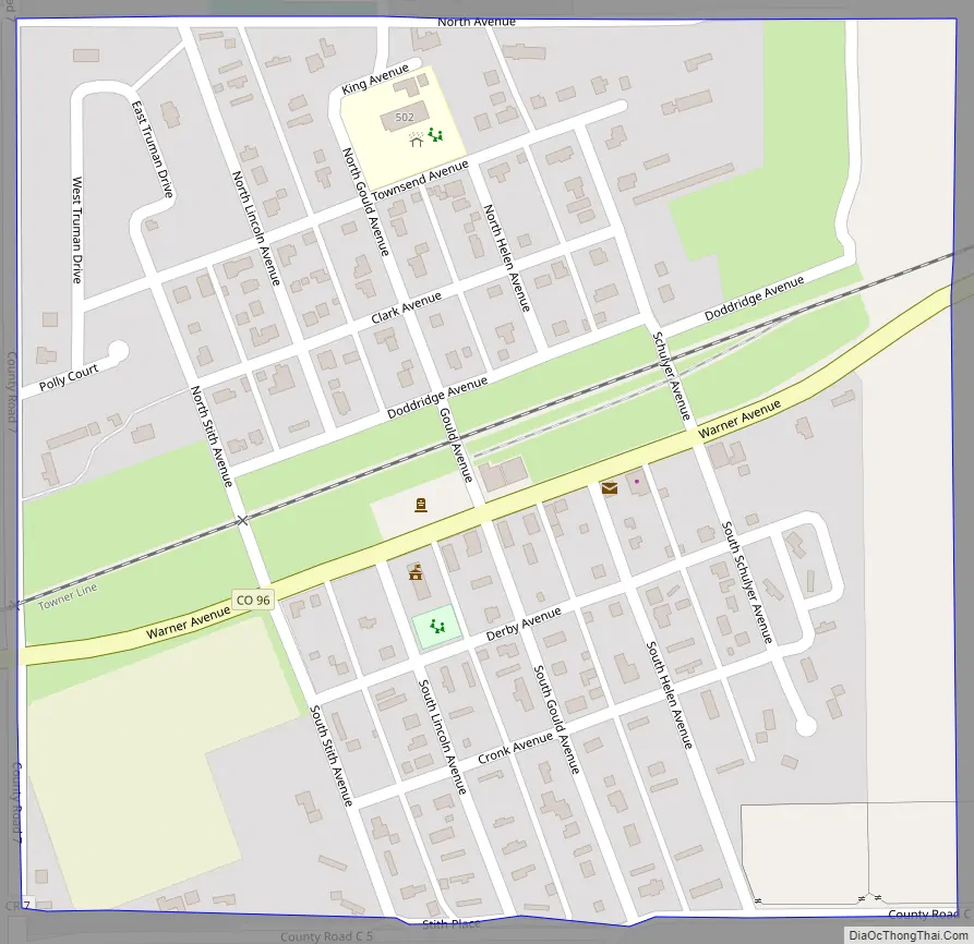
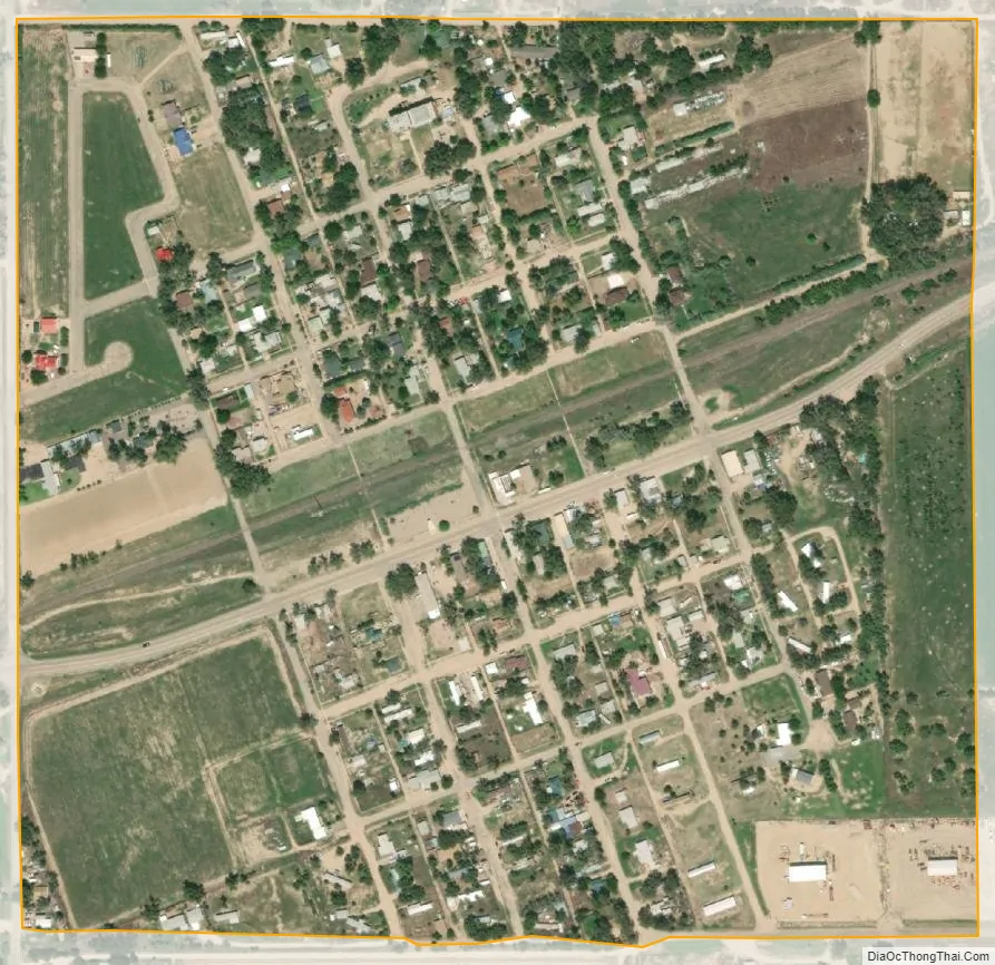
Olney Springs city Satellite Map
Geography
Olney Springs is located in southwestern Crowley County at 38°9′57″N 103°56′45″W / 38.16583°N 103.94583°W / 38.16583; -103.94583 (38.165844, -103.945723). Colorado State Highway 96 leads east 11 miles (18 km) to Ordway, the county seat, and west 38 miles (61 km) to Pueblo.
According to the United States Census Bureau, the town has a total area of 0.2 square miles (0.52 km), all of it land.
Slightly west of the town is the Crowley County Correctional Facility, owned by the Corrections Corporation of America. It has 1,794 prisoners from various states. Built as a speculative venture in 1998, it had a massive riot in 1999 when operated by the now-defunct Community Services Corporation. The builder, Dominion Ventures, took over its management, and in January 2003 ownership and operation transferred to CCA. Another devastating riot took place on July 20, 2004, once again requiring massive intervention by local and state law enforcement and correctional personnel.
See also
Map of Colorado State and its subdivision:- Adams
- Alamosa
- Arapahoe
- Archuleta
- Baca
- Bent
- Boulder
- Broomfield
- Chaffee
- Cheyenne
- Clear Creek
- Conejos
- Costilla
- Crowley
- Custer
- Delta
- Denver
- Dolores
- Douglas
- Eagle
- El Paso
- Elbert
- Fremont
- Garfield
- Gilpin
- Grand
- Gunnison
- Hinsdale
- Huerfano
- Jackson
- Jefferson
- Kiowa
- Kit Carson
- La Plata
- Lake
- Larimer
- Las Animas
- Lincoln
- Logan
- Mesa
- Mineral
- Moffat
- Montezuma
- Montrose
- Morgan
- Otero
- Ouray
- Park
- Phillips
- Pitkin
- Prowers
- Pueblo
- Rio Blanco
- Rio Grande
- Routt
- Saguache
- San Juan
- San Miguel
- Sedgwick
- Summit
- Teller
- Washington
- Weld
- Yuma
- Alabama
- Alaska
- Arizona
- Arkansas
- California
- Colorado
- Connecticut
- Delaware
- District of Columbia
- Florida
- Georgia
- Hawaii
- Idaho
- Illinois
- Indiana
- Iowa
- Kansas
- Kentucky
- Louisiana
- Maine
- Maryland
- Massachusetts
- Michigan
- Minnesota
- Mississippi
- Missouri
- Montana
- Nebraska
- Nevada
- New Hampshire
- New Jersey
- New Mexico
- New York
- North Carolina
- North Dakota
- Ohio
- Oklahoma
- Oregon
- Pennsylvania
- Rhode Island
- South Carolina
- South Dakota
- Tennessee
- Texas
- Utah
- Vermont
- Virginia
- Washington
- West Virginia
- Wisconsin
- Wyoming