Map of Brookridge CDP
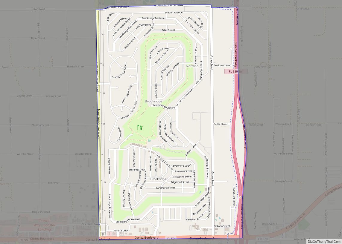
Brookridge is a census-designated place (CDP) in Hernando County, Florida, United States. The population was 4,420 at the 2010 census, up from 3,279 at the 2000 census. Brookridge CDP overview: Name: Brookridge CDP LSAD Code: 57 LSAD Description: CDP (suffix) State: Florida County: Hernando County Elevation: 62 ft (19 m) Total Area: 2.53 sq mi (6.56 km²) Land Area: 2.53 sq mi ... Read more
Map of Brookridge CDP
Map of Brooker town
Brooker is a town in Bradford County, Florida, United States. The population was 338 at the 2010 census. Brooker town overview: Name: Brooker town LSAD Code: 43 LSAD Description: town (suffix) State: Florida County: Bradford County Elevation: 128 ft (39 m) Total Area: 0.53 sq mi (1.37 km²) Land Area: 0.53 sq mi (1.37 km²) Water Area: 0.00 sq mi (0.00 km²) Total Population: 322 Population ... Read more
Map of Brooker town
Map of Buckhead Ridge CDP
Buckhead Ridge is a census-designated place (CDP) in Glades County, Florida, United States. The population was 1,450 at the 2010 census. The community consists of a few small commercial developments and a large mobile home park. Most residential lots in the community abut canals that feed into Lake Okeechobee. Buckhead Ridge CDP overview: Name: Buckhead ... Read more
Map of Buckhead Ridge CDP
Map of Brownsville CDP, Florida
Brownsville (also known as Brown Sub) is an unincorporated community and census-designated place (CDP) in metropolitan Miami, Florida, United States. As of the 2010 census, the population was 16,583, up from 15,313 in 2010. After three decades of population loss, Brownsville gained population for the first time in over 40 years in the 2010 US ... Read more
Map of Brownsville CDP, Florida
Map of Brownsdale CDP, Florida
Brownsdale is an unincorporated community and census-designated place in Santa Rosa County, Florida, United States. Its population was 471 as of the 2010 census. Brownsdale CDP overview: Name: Brownsdale CDP LSAD Code: 57 LSAD Description: CDP (suffix) State: Florida County: Santa Rosa County Elevation: 243 ft (74 m) Total Area: 8.892 sq mi (23.03 km²) Land Area: 8.700 sq mi (22.53 km²) Water ... Read more
Map of Brownsdale CDP, Florida
Map of Bunnell city
Bunnell is the county seat of Flagler County Florida, United States, with a population of 2,676 at the 2010 census. The city is part of the Deltona–Daytona Beach–Ormond Beach, FL metropolitan statistical area and is named after an early resident, Alvah A. Bunnell, a shingle maker and supplier of wood to the area’s fledgling rail ... Read more
Map of Bunnell city
Map of Buenaventura Lakes CDP
Buena Ventura Lakes, more commonly known as BVL, is a census-designated place (CDP) in northern Osceola County, Florida, United States, near Kissimmee. Its population was 26,079 at the 2010 census. It is part of the Orlando–Kissimmee–Sanford, Florida Metropolitan Statistical Area. The community is served by the Osceola Library System. Buena Ventura Lakes is very well ... Read more
Map of Buenaventura Lakes CDP
Map of Buckingham CDP, Florida
Buckingham is an unincorporated community and census-designated place (CDP) in Lee County, Florida, United States. The population was 4,443 at the 2020 census, up from 4,036 at the 2010 census. It is part of the Cape Coral-Fort Myers, Florida Metropolitan Statistical Area. Historic Buckingham School is located there. Buckingham CDP overview: Name: Buckingham CDP LSAD ... Read more
Map of Buckingham CDP, Florida
Map of Butler Beach CDP
Butler Beach is a census-designated place (CDP) in St. Johns County, Florida, United States. The population was 4,978 at the time of the 2020 United States Census. Butler Beach CDP overview: Name: Butler Beach CDP LSAD Code: 57 LSAD Description: CDP (suffix) State: Florida County: St. Johns County Elevation: 3 ft (1 m) Total Area: 2.66 sq mi (6.88 km²) ... Read more
Map of Butler Beach CDP
Map of Bushnell city, Florida
Bushnell is a city in western Florida and is the county seat of Sumter County, Florida, United States. The population was 2,418 at the 2010 census. According to the U.S. Census estimates of 2018, the city had a population of 3,119. Bushnell city overview: Name: Bushnell city LSAD Code: 25 LSAD Description: city (suffix) State: ... Read more
Map of Bushnell city, Florida
Map of Burnt Store Marina CDP
Burnt Store Marina is an unincorporated community and census-designated place (CDP) in Lee County, Florida, United States. The population was 1,890 at the 2020 census, up from 1,793 at the 2010 census. It is part of the Cape Coral-Fort Myers, Florida Metropolitan Statistical Area. Burnt Store Marina CDP overview: Name: Burnt Store Marina CDP LSAD ... Read more
Map of Burnt Store Marina CDP
Map of Callaway city, Florida
Callaway is a city in Bay County, Florida, United States, and is a suburb of Panama City. The population was 14,405 at the 2010 census. It is part of the Panama City–Lynn Haven–Panama City Beach Metropolitan Statistical Area. The first arrest for the sale to a minor of an explicit album (The 2 Live Crew ... Read more
Map of Callaway city, Florida