Bushnell is a city in western Florida and is the county seat of Sumter County, Florida, United States. The population was 2,418 at the 2010 census. According to the U.S. Census estimates of 2018, the city had a population of 3,119.
| Name: | Bushnell city |
|---|---|
| LSAD Code: | 25 |
| LSAD Description: | city (suffix) |
| State: | Florida |
| County: | Sumter County |
| Elevation: | 75 ft (23 m) |
| Total Area: | 12.70 sq mi (32.90 km²) |
| Land Area: | 12.42 sq mi (32.16 km²) |
| Water Area: | 0.29 sq mi (0.74 km²) |
| Total Population: | 3,047 |
| Population Density: | 245.41/sq mi (94.76/km²) |
| ZIP code: | 33513 |
| Area code: | 352 |
| FIPS code: | 1209625 |
| Website: | cityofbushnellfl.com |
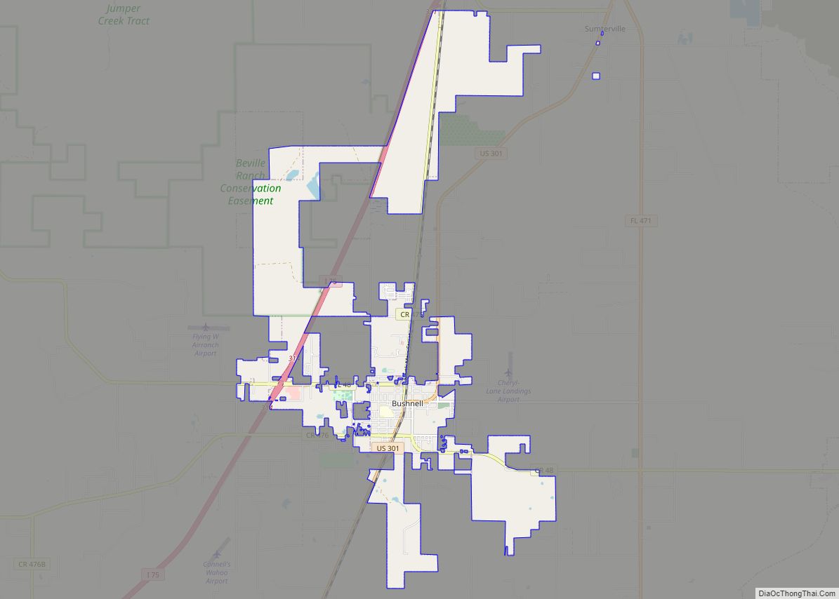
Online Interactive Map
Click on ![]() to view map in "full screen" mode.
to view map in "full screen" mode.
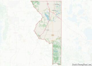
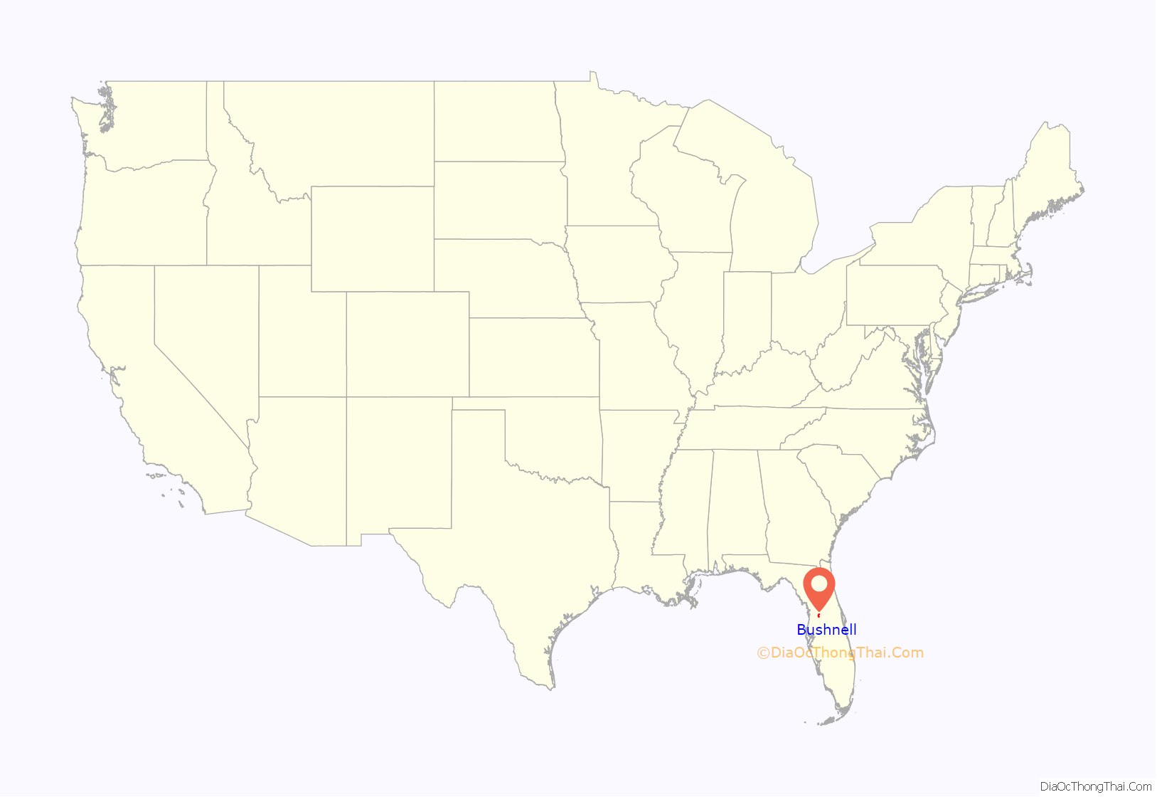
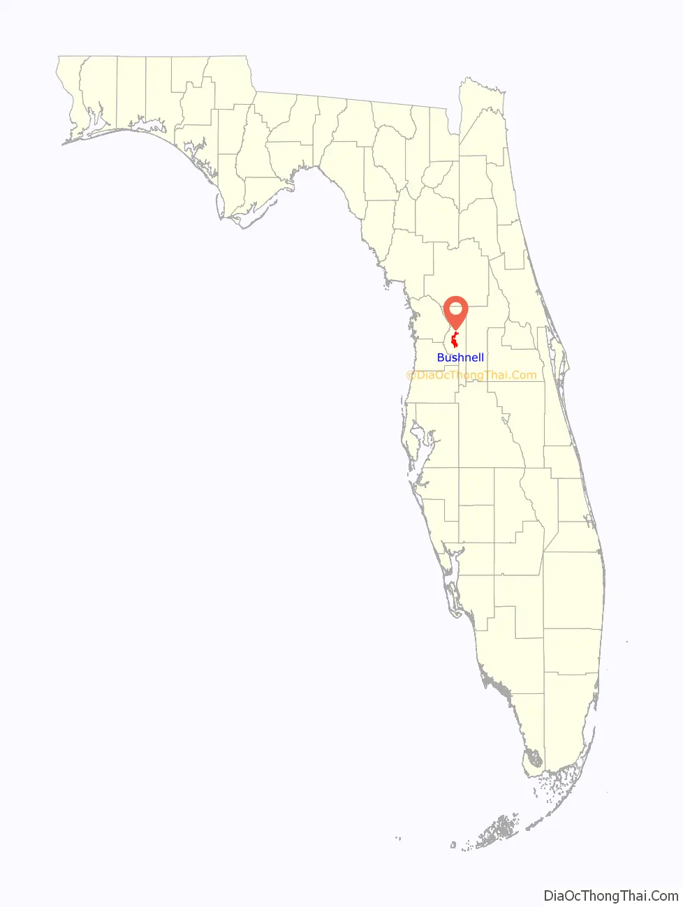
Bushnell location map. Where is Bushnell city?
History
A post office called Bushnell has been in operation since 1885. The City of Bushnell was named after John W. Bushnell, who was responsible for bringing the railroad to the community. The City of Bushnell is also home to Dade Battlefield state park, a park where on December 28th, 1835, Indians ambushed 107 men in the forested area. Only 3 survivors came out of Dade Battlefield, and the battle signaled the beginning of the Second Seminole War.
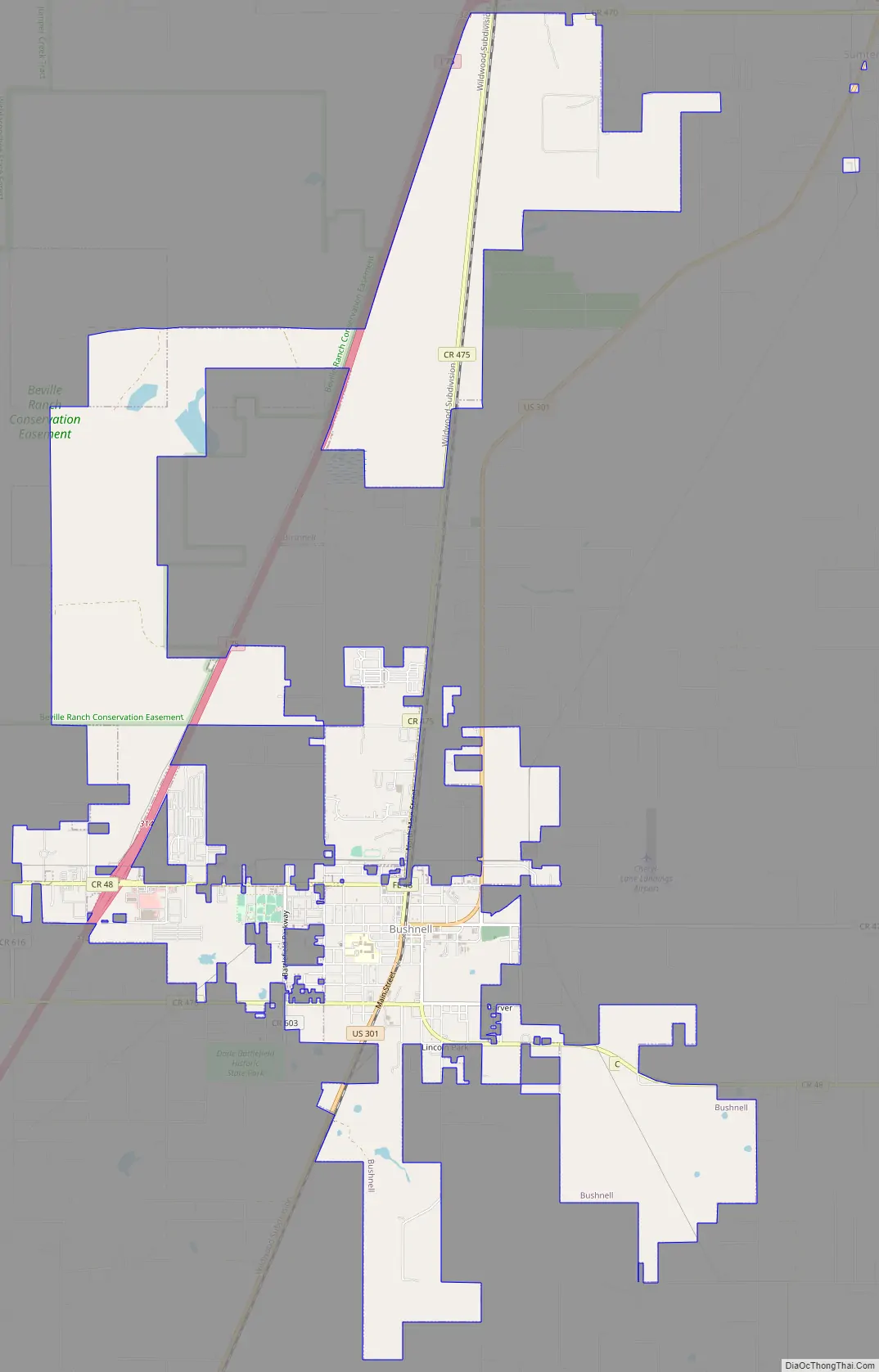
Bushnell Road Map
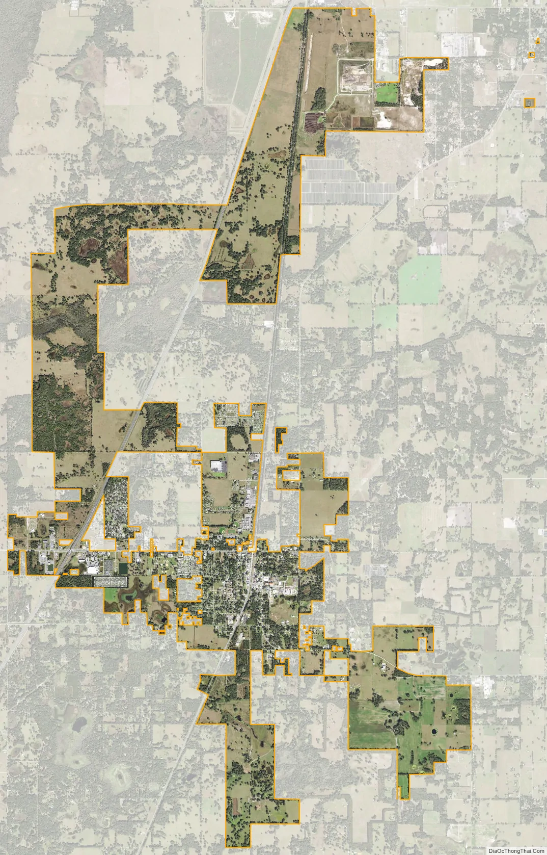
Bushnell city Satellite Map
Geography
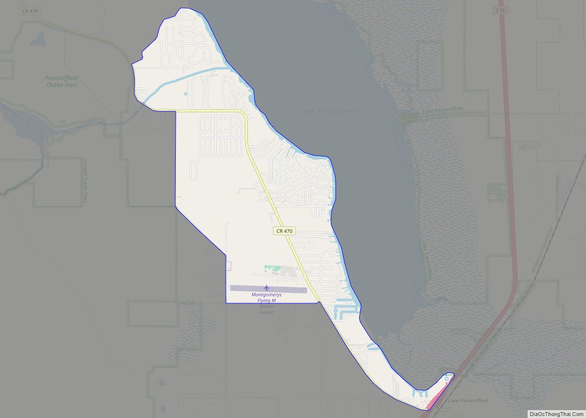
Bushnell is located in west-central Sumter County. The area around Bushnell is relatively flat, with some forested areas belonging to the state and rivers, creeks, and small streams that flow underneath roadways with bridges.
See also
Map of Florida State and its subdivision:- Alachua
- Baker
- Bay
- Bradford
- Brevard
- Broward
- Calhoun
- Charlotte
- Citrus
- Clay
- Collier
- Columbia
- Desoto
- Dixie
- Duval
- Escambia
- Flagler
- Franklin
- Gadsden
- Gilchrist
- Glades
- Gulf
- Hamilton
- Hardee
- Hendry
- Hernando
- Highlands
- Hillsborough
- Holmes
- Indian River
- Jackson
- Jefferson
- Lafayette
- Lake
- Lee
- Leon
- Levy
- Liberty
- Madison
- Manatee
- Marion
- Martin
- Miami-Dade
- Monroe
- Nassau
- Okaloosa
- Okeechobee
- Orange
- Osceola
- Palm Beach
- Pasco
- Pinellas
- Polk
- Putnam
- Saint Johns
- Saint Lucie
- Santa Rosa
- Sarasota
- Seminole
- Sumter
- Suwannee
- Taylor
- Union
- Volusia
- Wakulla
- Walton
- Washington
- Alabama
- Alaska
- Arizona
- Arkansas
- California
- Colorado
- Connecticut
- Delaware
- District of Columbia
- Florida
- Georgia
- Hawaii
- Idaho
- Illinois
- Indiana
- Iowa
- Kansas
- Kentucky
- Louisiana
- Maine
- Maryland
- Massachusetts
- Michigan
- Minnesota
- Mississippi
- Missouri
- Montana
- Nebraska
- Nevada
- New Hampshire
- New Jersey
- New Mexico
- New York
- North Carolina
- North Dakota
- Ohio
- Oklahoma
- Oregon
- Pennsylvania
- Rhode Island
- South Carolina
- South Dakota
- Tennessee
- Texas
- Utah
- Vermont
- Virginia
- Washington
- West Virginia
- Wisconsin
- Wyoming