Brownsville (also known as Brown Sub) is an unincorporated community and census-designated place (CDP) in metropolitan Miami, Florida, United States. As of the 2010 census, the population was 16,583, up from 15,313 in 2010. After three decades of population loss, Brownsville gained population for the first time in over 40 years in the 2010 US Census.
| Name: | Brownsville CDP |
|---|---|
| LSAD Code: | 57 |
| LSAD Description: | CDP (suffix) |
| State: | Florida |
| County: | Miami-Dade County |
| Elevation: | 10 ft (3 m) |
| Total Area: | 2.28 sq mi (5.90 km²) |
| Land Area: | 2.28 sq mi (5.90 km²) |
| Water Area: | 0.00 sq mi (0.00 km²) |
| Total Population: | 16,583 |
| Population Density: | 7,300/sq mi (2,800/km²) |
| ZIP code: | 33142 (Miami) |
| Area code: | 305 |
| FIPS code: | 1209000 |
| GNISfeature ID: | 1867121 |
Online Interactive Map
Click on ![]() to view map in "full screen" mode.
to view map in "full screen" mode.
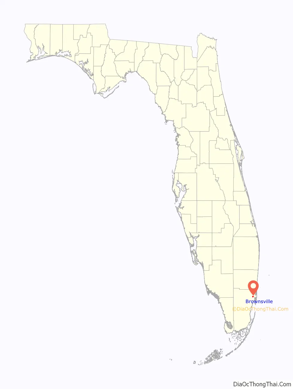
Brownsville location map. Where is Brownsville CDP?

History
Brownsville was originally a settlement for white families in the 1920s. Black families began moving into the neighborhood between the late 1940s and early 1960s as the population surrounding nearby Liberty Square expanded and many inner-city whites moved to newly built suburban subdivisions surrounding Miami city proper in the wake of World War II.
In 1945, two black couples who lived in Brownsville were arrested and jailed for allegedly mishandling their garbage disposal. That same year, members of the Ku Klux Klan burned crosses in lawns and marched against black home ownership in the area.
By the mid-1960s, Brownsville was a thriving community for black professionals. However, the wake of the Civil Rights Act of 1968 that outlawed restrictive covenants, and riots in 1968 and 1980 brought about the black flight of middle and upper-class families from the community. Brownsville experienced continued population loss from 1970 until 2000, as part of a greater suburbanization trend among the U.S. upwardly-mobile middle class. Between 2000 and 2010, Brownsville gained population for the first time in over 40 years, rising to 15,313 residents.
Construction began on a transit-oriented development, “Brownsville Transit Village”, in 2010, on the 5.8-acre (2.3 ha) site of the Brownsville Metrorail station parking lot. The project cost $100 million to build, and is composed of 467 units in five high-rise residential towers with ground-floor retail centered around the Brownsville Metro station. The project was partially funded by the American Recovery and Reinvestment Act of 2009, and is one of the largest transit-oriented and affordable housing projects in Miami.
Brownsville Road Map

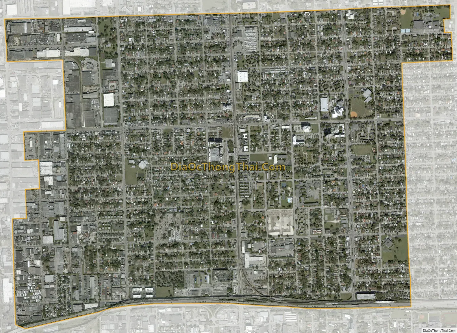
Brownsville city Satellite Map
Geography
Brownsville is located 6 miles (10 km) northwest of downtown Miami at 25°49′17″N 80°14′25″W / 25.82139°N 80.24028°W / 25.82139; -80.24028 (25.821275, -80.240220). It is bordered to the east and southeast by the city of Miami, to the north by unincorporated Gladeview, to the west by the city of Hialeah, and to the south by unincorporated Miami-Dade County. Interstate 195 (Airport Expressway) forms the southern border of the community.
According to the United States Census Bureau, the Brownsville CDP has a total area of 2.3 square miles (6.0 km), all of it land.
See also
Map of Florida State and its subdivision:- Alachua
- Baker
- Bay
- Bradford
- Brevard
- Broward
- Calhoun
- Charlotte
- Citrus
- Clay
- Collier
- Columbia
- Desoto
- Dixie
- Duval
- Escambia
- Flagler
- Franklin
- Gadsden
- Gilchrist
- Glades
- Gulf
- Hamilton
- Hardee
- Hendry
- Hernando
- Highlands
- Hillsborough
- Holmes
- Indian River
- Jackson
- Jefferson
- Lafayette
- Lake
- Lee
- Leon
- Levy
- Liberty
- Madison
- Manatee
- Marion
- Martin
- Miami-Dade
- Monroe
- Nassau
- Okaloosa
- Okeechobee
- Orange
- Osceola
- Palm Beach
- Pasco
- Pinellas
- Polk
- Putnam
- Saint Johns
- Saint Lucie
- Santa Rosa
- Sarasota
- Seminole
- Sumter
- Suwannee
- Taylor
- Union
- Volusia
- Wakulla
- Walton
- Washington
- Alabama
- Alaska
- Arizona
- Arkansas
- California
- Colorado
- Connecticut
- Delaware
- District of Columbia
- Florida
- Georgia
- Hawaii
- Idaho
- Illinois
- Indiana
- Iowa
- Kansas
- Kentucky
- Louisiana
- Maine
- Maryland
- Massachusetts
- Michigan
- Minnesota
- Mississippi
- Missouri
- Montana
- Nebraska
- Nevada
- New Hampshire
- New Jersey
- New Mexico
- New York
- North Carolina
- North Dakota
- Ohio
- Oklahoma
- Oregon
- Pennsylvania
- Rhode Island
- South Carolina
- South Dakota
- Tennessee
- Texas
- Utah
- Vermont
- Virginia
- Washington
- West Virginia
- Wisconsin
- Wyoming


