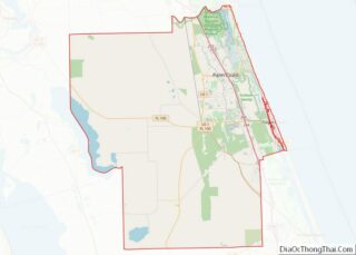
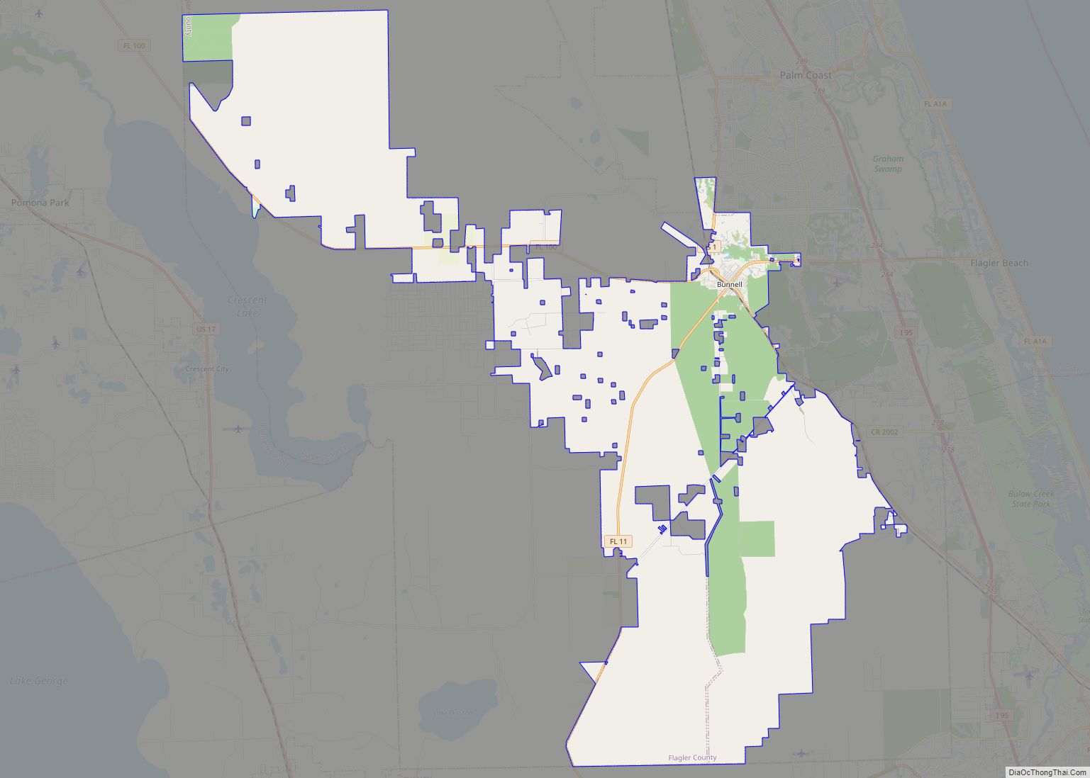
Bunnell is the county seat of Flagler County Florida, United States, with a population of 2,676 at the 2010 census. The city is part of the Deltona–Daytona Beach–Ormond Beach, FL metropolitan statistical area and is named after an early resident, Alvah A. Bunnell, a shingle maker and supplier of wood to the area’s fledgling rail industry.
| Name: | Bunnell city |
|---|---|
| LSAD Code: | 25 |
| LSAD Description: | city (suffix) |
| State: | Florida |
| County: | Flagler County |
| Elevation: | 20 ft (6 m) |
| Total Area: | 139.86 sq mi (362.24 km²) |
| Land Area: | 139.80 sq mi (362.07 km²) |
| Water Area: | 0.06 sq mi (0.16 km²) |
| Total Population: | 3,276 |
| Population Density: | 23.43/sq mi (9.05/km²) |
| ZIP code: | 32110 |
| Area code: | 386 |
| FIPS code: | 1209550 |
| GNISfeature ID: | 0279682 |
| Website: | www.bunnellcity.us |
Online Interactive Map
Click on ![]() to view map in "full screen" mode.
to view map in "full screen" mode.
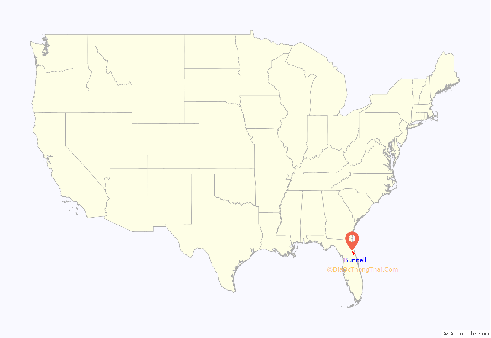
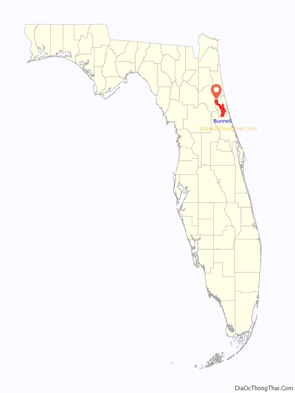
Bunnell location map. Where is Bunnell city?
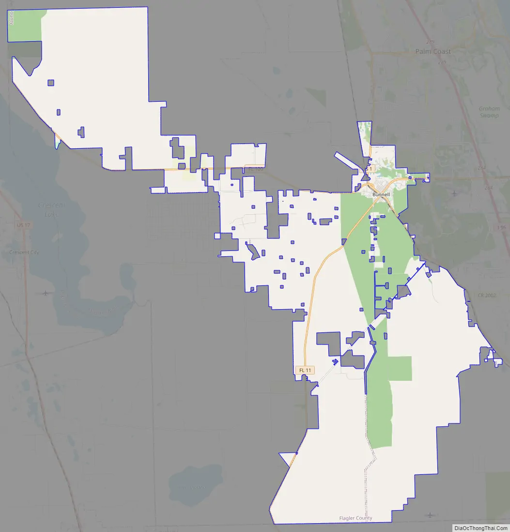
Bunnell Road Map
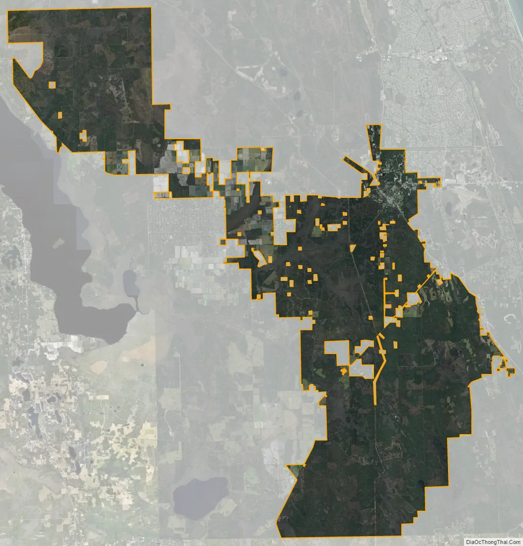
Bunnell city Satellite Map
Geography
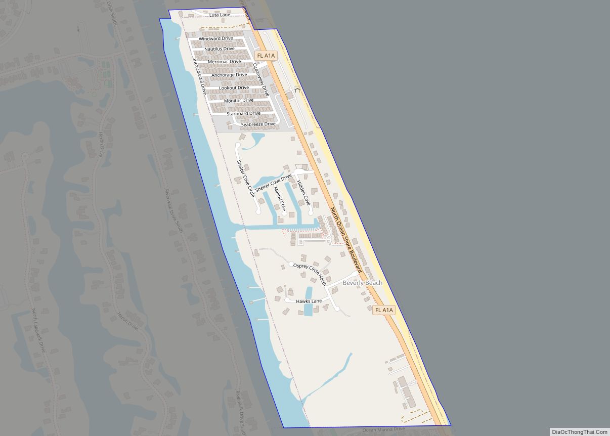
Bunnell is located in central Flagler County at 29°28′03″N 81°15′25″W / 29.467581°N 81.256856°W / 29.467581; -81.256856. The city limits now extend south and northwest to the county boundary. Bunnell is bordered to the north and east by the city of Palm Coast.
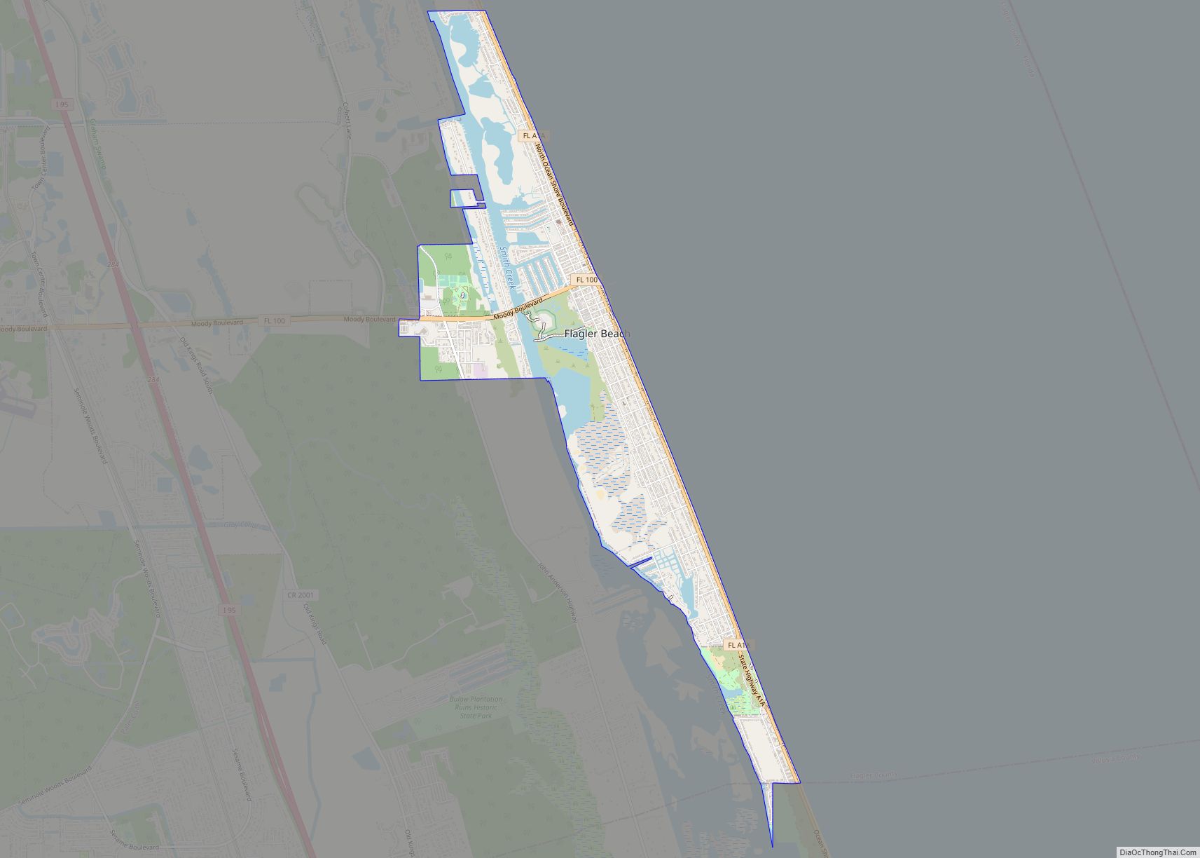
U.S. Route 1 passes through the center of Bunnell as State Street, leading north 31 miles (50 km) to St. Augustine and southeast 18 miles (29 km) to Ormond Beach. Florida State Road 100 leads 8 miles (13 km) east to Flagler Beach and northwest 30 miles (48 km) to Palatka. Interstate 95 is 4 miles (6 km) east of the center of Bunnell via SR 100.
According to the United States Census Bureau, the city has a total area of 138.6 square miles (358.9 km), of which 137.5 square miles (356.0 km) is land and 1.1 square miles (2.9 km), or 0.81%, is water. Bunnell is the second-largest city in the state of Florida (by area) with the annexation of over 87,000 acres (136 square miles) since 2000.
See also
Map of Florida State and its subdivision:- Alachua
- Baker
- Bay
- Bradford
- Brevard
- Broward
- Calhoun
- Charlotte
- Citrus
- Clay
- Collier
- Columbia
- Desoto
- Dixie
- Duval
- Escambia
- Flagler
- Franklin
- Gadsden
- Gilchrist
- Glades
- Gulf
- Hamilton
- Hardee
- Hendry
- Hernando
- Highlands
- Hillsborough
- Holmes
- Indian River
- Jackson
- Jefferson
- Lafayette
- Lake
- Lee
- Leon
- Levy
- Liberty
- Madison
- Manatee
- Marion
- Martin
- Miami-Dade
- Monroe
- Nassau
- Okaloosa
- Okeechobee
- Orange
- Osceola
- Palm Beach
- Pasco
- Pinellas
- Polk
- Putnam
- Saint Johns
- Saint Lucie
- Santa Rosa
- Sarasota
- Seminole
- Sumter
- Suwannee
- Taylor
- Union
- Volusia
- Wakulla
- Walton
- Washington
- Alabama
- Alaska
- Arizona
- Arkansas
- California
- Colorado
- Connecticut
- Delaware
- District of Columbia
- Florida
- Georgia
- Hawaii
- Idaho
- Illinois
- Indiana
- Iowa
- Kansas
- Kentucky
- Louisiana
- Maine
- Maryland
- Massachusetts
- Michigan
- Minnesota
- Mississippi
- Missouri
- Montana
- Nebraska
- Nevada
- New Hampshire
- New Jersey
- New Mexico
- New York
- North Carolina
- North Dakota
- Ohio
- Oklahoma
- Oregon
- Pennsylvania
- Rhode Island
- South Carolina
- South Dakota
- Tennessee
- Texas
- Utah
- Vermont
- Virginia
- Washington
- West Virginia
- Wisconsin
- Wyoming