Map of Perry city, Florida
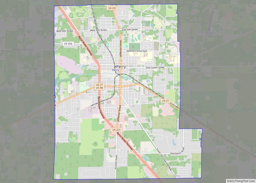
Perry is a city and the county seat of Taylor County, Florida, United States. As of 2010, the population recorded by the U.S. Census Bureau is 7,017. The city was named for Madison Perry, fourth Governor of the State of Florida and a Confederate colonel during the American Civil War. Perry city overview: Name: Perry ... Read more
Map of Perry city, Florida
Map of Penney Farms town
Penney Farms is a town in Clay County, Florida, United States. The population was 749 at the 2010 census. Penney Farms town overview: Name: Penney Farms town LSAD Code: 43 LSAD Description: town (suffix) State: Florida County: Clay County Elevation: 95 ft (29 m) Total Area: 1.46 sq mi (3.78 km²) Land Area: 1.46 sq mi (3.78 km²) Water Area: 0.00 sq mi (0.00 km²) Total ... Read more
Map of Penney Farms town
Map of Pine Hills CDP, Florida
Pine Hills is a census-designated place (CDP) and unincorporated subdivision in Orange County, Florida, United States, west of Orlando. Per the 2020 U.S. Census, the population was 66,111. It is a part of the Orlando–Kissimmee–Sanford, Florida Metropolitan Statistical Area (home to 2,134,311 people in 2010). Pine Hills is home to several parks, five elementary schools, ... Read more
Map of Pine Hills CDP, Florida
Map of Pine Castle CDP
Pine Castle is a census-designated place and unincorporated area in Orange County, Florida, United States. It is part of the Orlando–Kissimmee–Sanford, Florida Metropolitan Statistical Area. Pine Castle CDP overview: Name: Pine Castle CDP LSAD Code: 57 LSAD Description: CDP (suffix) State: Florida County: Orange County Elevation: 98 ft (30 m) Total Area: 2.69 sq mi (6.98 km²) Land Area: 2.42 sq mi ... Read more
Map of Pine Castle CDP
Map of Pine Air CDP
Pine Air is a census-designated place in Palm Beach County, Florida, United States. Its population was 2,190 as of the 2020 census. Pine Air is bordered by State Road 809 to the west and the village of Palm Springs to the south. Pine Air CDP overview: Name: Pine Air CDP LSAD Code: 57 LSAD Description: ... Read more
Map of Pine Air CDP
Map of Pine Lakes CDP
Pine Lakes is an unincorporated community and census-designated place (CDP) in Lake County, Florida, United States. The population was 862 at the 2010 census, up from 755 at the 2000 census. It is part of the Orlando–Kissimmee Metropolitan Statistical Area. Pine Lakes CDP overview: Name: Pine Lakes CDP LSAD Code: 57 LSAD Description: CDP (suffix) ... Read more
Map of Pine Lakes CDP
Map of Pine Island CDP, Florida
Pine Island is an unincorporated community and census-designated place (CDP) in Hernando County, Florida, United States. The population was 64 at the 2010 census, unchanged from the 2000 census. Pine Island CDP overview: Name: Pine Island CDP LSAD Code: 57 LSAD Description: CDP (suffix) State: Florida County: Hernando County Elevation: 3 ft (1 m) Total Area: 0.08 sq mi ... Read more
Map of Pine Island CDP, Florida
Map of Pine Island Center CDP
Pine Island Center is an unincorporated community and census-designated place (CDP) located on Pine Island in Lee County, Florida, United States. The population was 1,942 at the 2020 census. It is part of the Cape Coral-Fort Myers, Florida Metropolitan Statistical Area. Pine Island Center CDP overview: Name: Pine Island Center CDP LSAD Code: 57 LSAD ... Read more
Map of Pine Island Center CDP
Map of Pine Ridge CDP, Florida
Pine Ridge is an unincorporated community and census-designated place (CDP) in Citrus County, Florida, United States. The population was 9,598 at the 2010 census, up from 5,490 in 2000. Pine Ridge CDP overview: Name: Pine Ridge CDP LSAD Code: 57 LSAD Description: CDP (suffix) State: Florida County: Citrus County Total Area: 24.9 sq mi (64.4 km²) Land Area: ... Read more
Map of Pine Ridge CDP, Florida
Map of Pine Manor CDP
Pine Manor is a census-designated place (CDP) located off U.S. Route 41 (South Cleveland Ave) and Summerlin Road in Lee County, Florida, United States. The population was 4,122 at the 2020 census, up from 3,428 at the 2010 census. It is part of the Cape Coral-Fort Myers, Florida Metropolitan Statistical Area. Pine Manor CDP overview: ... Read more
Map of Pine Manor CDP
Map of Pine Level CDP, Florida
Pine Level is an unincorporated community and census-designated place in Santa Rosa County, Florida, United States. Its population was 227 as of the 2010 census. It is located about 5 miles (8.0 km) south of Jay. Pine Level CDP overview: Name: Pine Level CDP LSAD Code: 57 LSAD Description: CDP (suffix) State: Florida County: Santa Rosa ... Read more
Map of Pine Level CDP, Florida
Map of Pinellas Park city
Pinellas Park is a city located in central Pinellas County, Florida, United States. The population was 53,093 at the 2020 census. Originally home to northern transplants and vacationers, the hundred year old city has grown into the fourth largest city in Pinellas County, the most densely-populated county in Florida. The city and surrounding areas are ... Read more
Map of Pinellas Park city