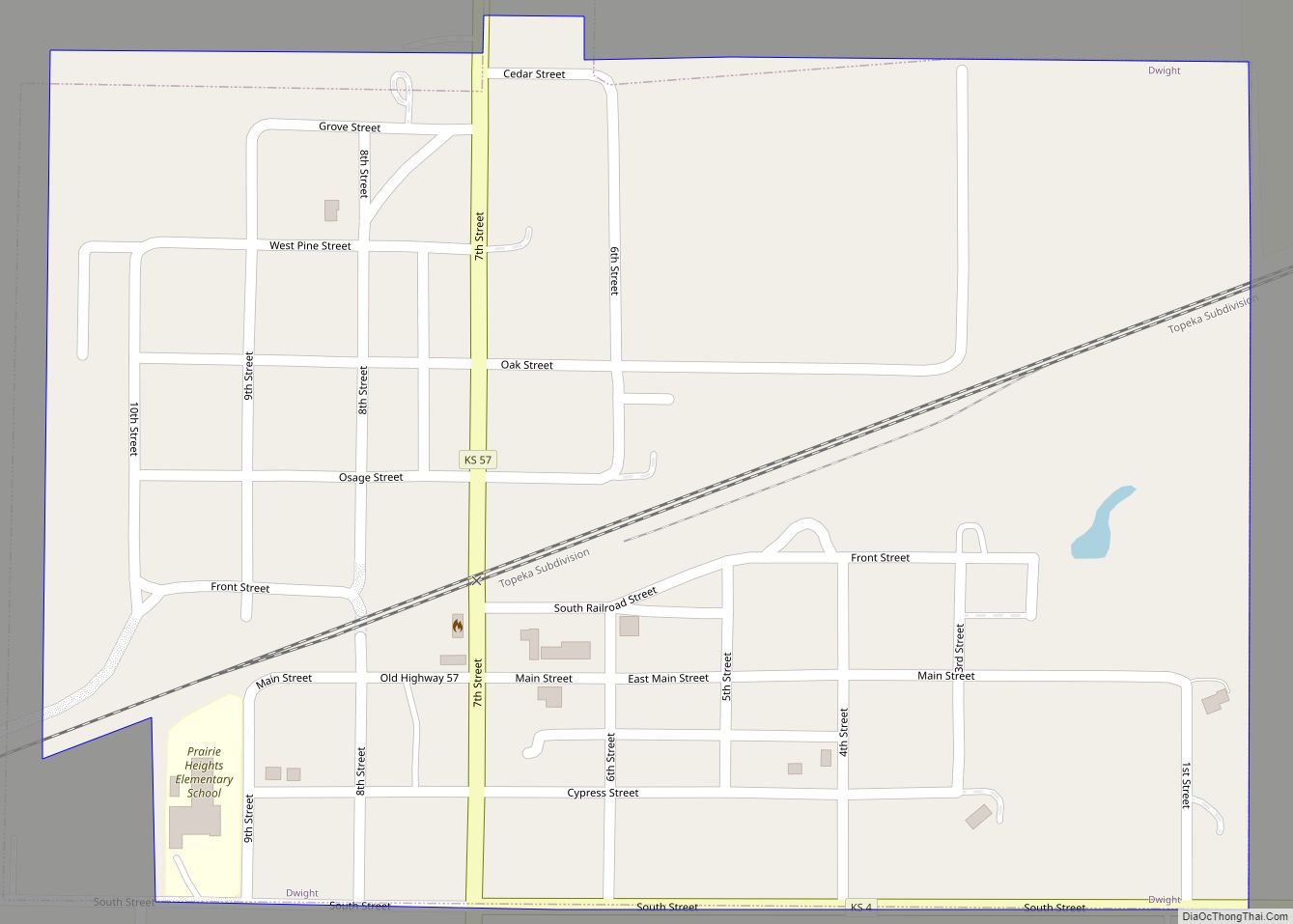
Dwight is a city in Morris County, Kansas, United States. As of the 2020 census, the population of the city was 217. Dwight city overview: Name: Dwight city LSAD Code: 25 LSAD Description: city (suffix) State: Kansas County: Morris County Founded: 1887 Incorporated: 1905 Elevation: 1,503 ft (458 m) Total Area: 0.36 sq mi (0.94 km²) Land Area: 0.36 sq mi (0.94 km²) ... Read more
Map of US Cities and Places
Durham is a city in Marion County, Kansas, United States. As of the 2020 census, the population of the city was 89. The city took its name from Durham cattle. It is located about 8.5 miles north of Hillsboro on the west side of K-15 highway next to a railroad. Durham city overview: Name: Durham ... Read more
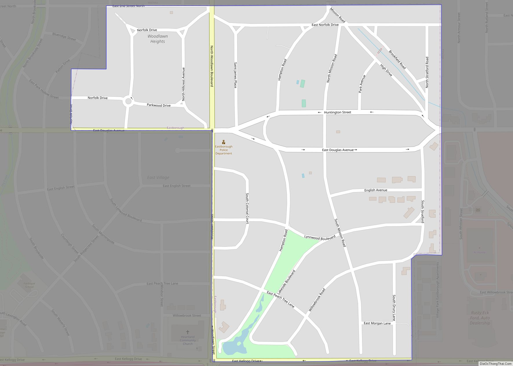
Eastborough is a city in Sedgwick County, Kansas, United States, and an enclave of the city of Wichita. As of the 2020 census, the population of the city was 756. Eastborough city overview: Name: Eastborough city LSAD Code: 25 LSAD Description: city (suffix) State: Kansas County: Sedgwick County Founded: 1929 Incorporated: 1937 Elevation: 1,371 ft (418 m) ... Read more
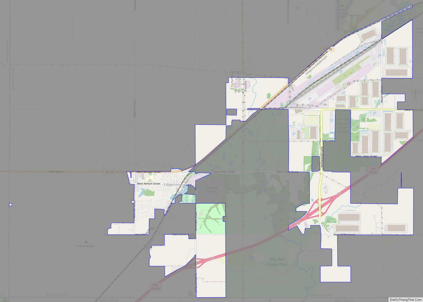
Edgerton is a city in Johnson County, Kansas, United States, and part of the Kansas City metropolitan area. As of the 2020 census, the population of the city was 1,748. It is home to a large BNSF intermodal train facility named Logistics Park Kansas City. Edgerton city overview: Name: Edgerton city LSAD Code: 25 LSAD ... Read more
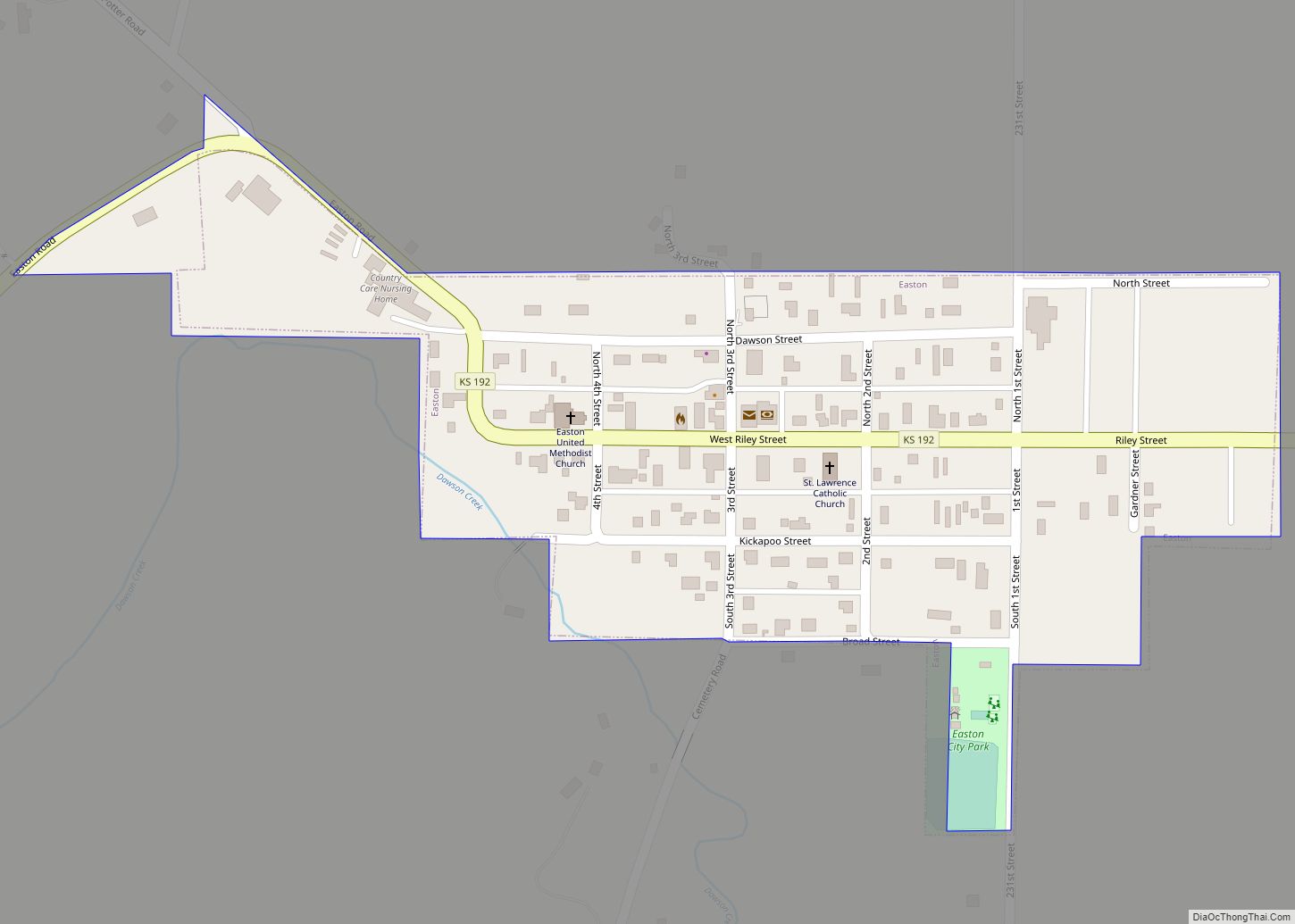
Easton is a city in Leavenworth County, Kansas, United States, and part of the Kansas City metropolitan area. As of the 2020 census, the population of the city was 213. Easton city overview: Name: Easton city LSAD Code: 25 LSAD Description: city (suffix) State: Kansas County: Leavenworth County Founded: 1850s Incorporated: 1903 Elevation: 906 ft (276 m) ... Read more
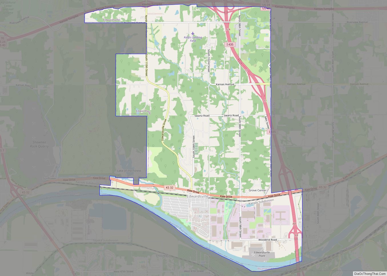
Edwardsville is a city in Wyandotte County, Kansas, United States, and part of the Kansas City Metropolitan Area. As of the 2020 census, the population of the city was 4,717. Edwardsville city overview: Name: Edwardsville city LSAD Code: 25 LSAD Description: city (suffix) State: Kansas County: Wyandotte County Incorporated: 1915 Elevation: 781 ft (238 m) Total Area: ... Read more
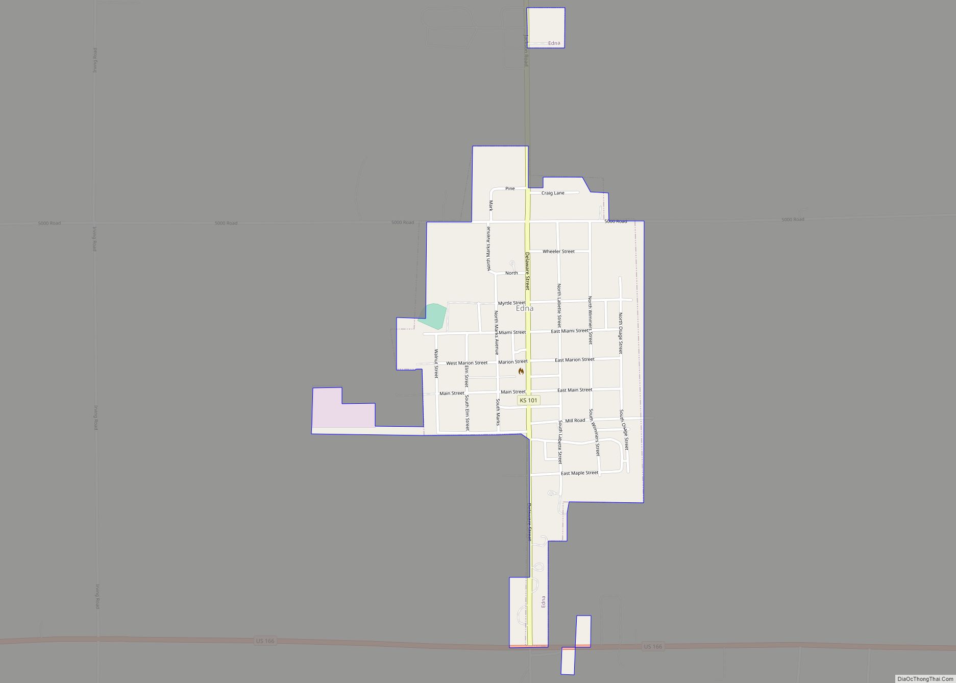
Edna is a city in Labette County, Kansas, United States. As of the 2020 census, the population of the city was 388. Edna city overview: Name: Edna city LSAD Code: 25 LSAD Description: city (suffix) State: Kansas County: Labette County Founded: 1870s Incorporated: 1892 Elevation: 978 ft (298 m) Total Area: 0.39 sq mi (1.02 km²) Land Area: 0.39 sq mi (1.02 km²) ... Read more
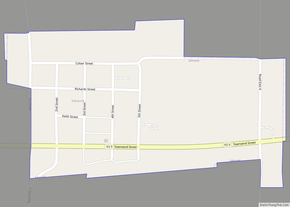
Edmond is a city in Norton County, Kansas, United States. As of the 2020 census, the population of the city was 28. Edmond city overview: Name: Edmond city LSAD Code: 25 LSAD Description: city (suffix) State: Kansas County: Norton County Founded: 1870s Incorporated: 1916 Elevation: 2,152 ft (656 m) Total Area: 0.17 sq mi (0.43 km²) Land Area: 0.17 sq mi (0.43 km²) ... Read more
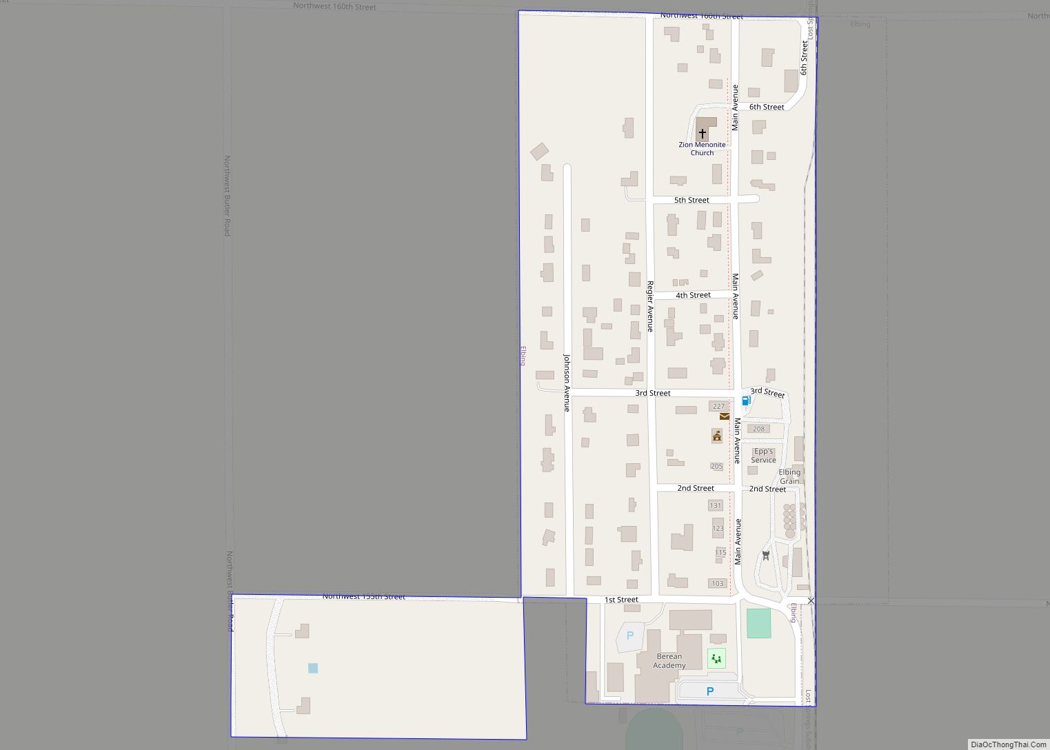
Elbing is a city in Butler County, Kansas, United States. It is named after the city Elbląg (German: Elbing) in northern Poland, formerly Prussia. As of the 2020 census, the population of the city was 226. It is located about 10.7 miles east of Interstate 135 in Newton, along the Union Pacific Railroad. Elbing city ... Read more
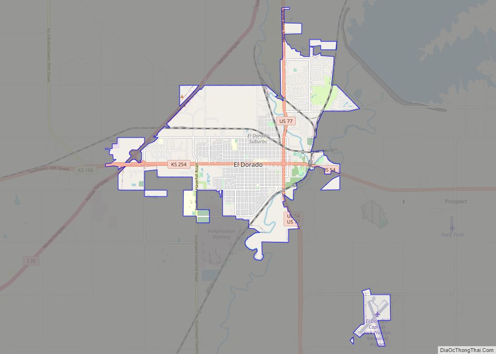
El Dorado (/ˌɛldəˈreɪdoʊ/ EL-də-RAY-doh) is city and county seat of Butler County, Kansas, United States. It is situated along the Walnut River in the central part of Butler County and located in south-central Kansas. As of the 2020 census, the population of the city was 12,870. It is home to Butler Community College. El Dorado ... Read more
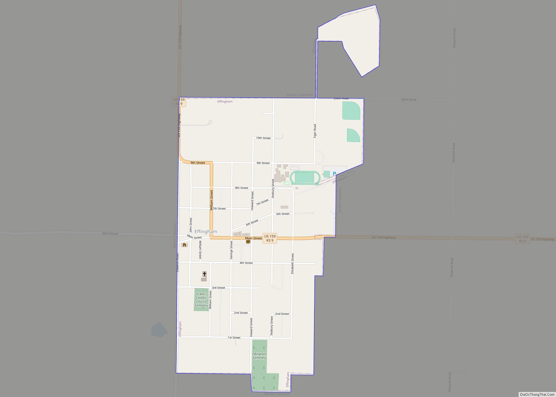
Effingham is a city in Atchison County, Kansas, United States. As of the 2020 census, the population of the city was 495. Effingham city overview: Name: Effingham city LSAD Code: 25 LSAD Description: city (suffix) State: Kansas County: Atchison County Elevation: 1,139 ft (347 m) Total Area: 0.62 sq mi (1.60 km²) Land Area: 0.62 sq mi (1.60 km²) Water Area: 0.00 sq mi (0.00 km²) ... Read more
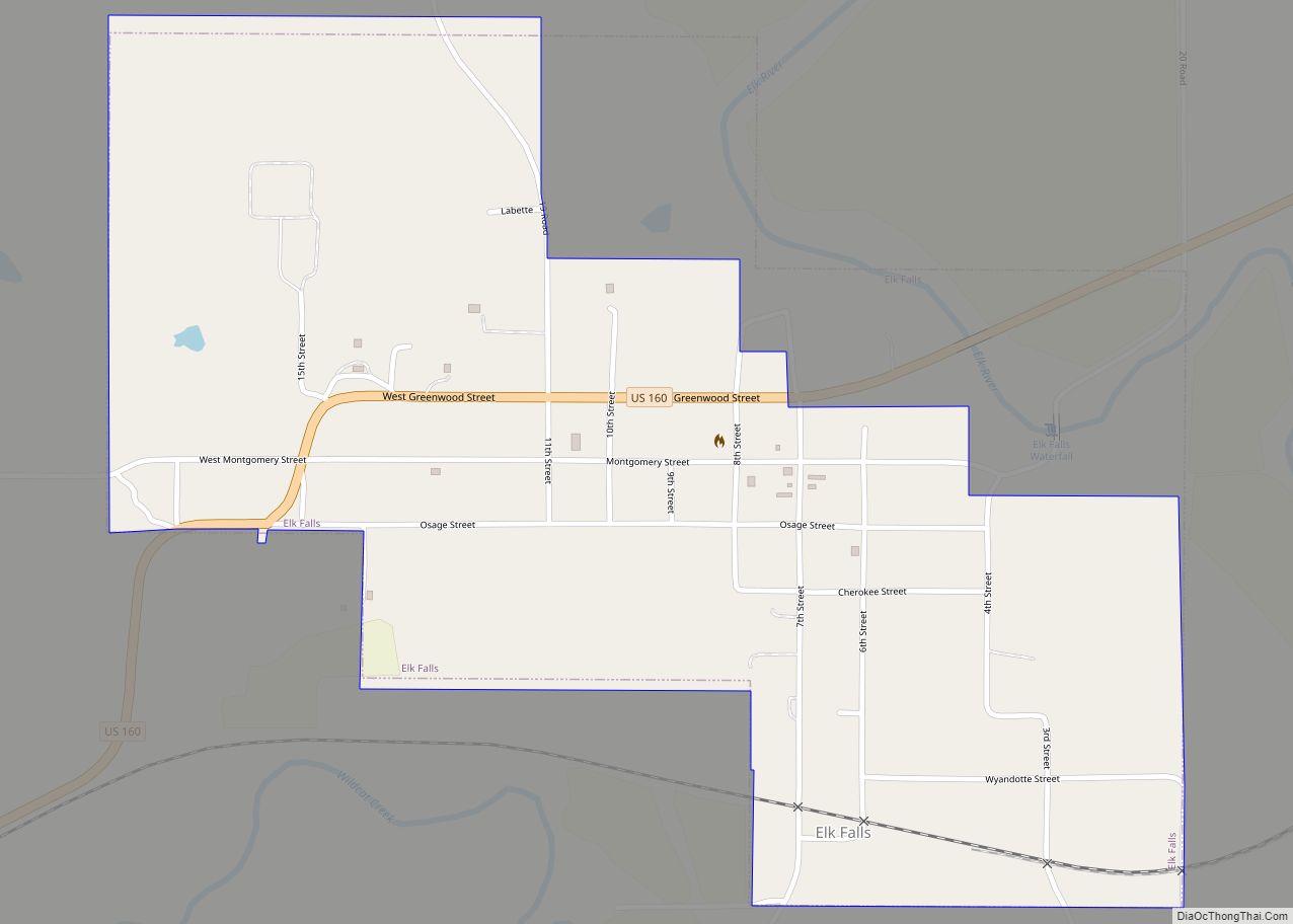
Elk Falls is a city in Elk County, Kansas, United States, along the Elk River. As of the 2020 census, the population of the city was 113. Elk Falls city overview: Name: Elk Falls city LSAD Code: 25 LSAD Description: city (suffix) State: Kansas County: Elk County Founded: 1870 Incorporated: 1887 Elevation: 935 ft (285 m) Total ... Read more
