Edwardsville is a city in Wyandotte County, Kansas, United States, and part of the Kansas City Metropolitan Area. As of the 2020 census, the population of the city was 4,717.
| Name: | Edwardsville city |
|---|---|
| LSAD Code: | 25 |
| LSAD Description: | city (suffix) |
| State: | Kansas |
| County: | Wyandotte County |
| Incorporated: | 1915 |
| Elevation: | 781 ft (238 m) |
| Total Area: | 9.35 sq mi (24.23 km²) |
| Land Area: | 9.04 sq mi (23.41 km²) |
| Water Area: | 0.32 sq mi (0.82 km²) |
| Total Population: | 4,717 |
| Population Density: | 500/sq mi (190/km²) |
| ZIP code: | 66111, 66113 |
| Area code: | 913 |
| FIPS code: | 2020000 |
| Website: | edwardsvilleks.org |
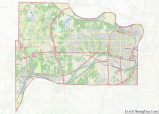
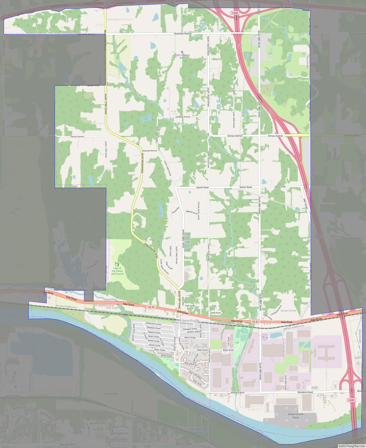
Online Interactive Map
Click on ![]() to view map in "full screen" mode.
to view map in "full screen" mode.
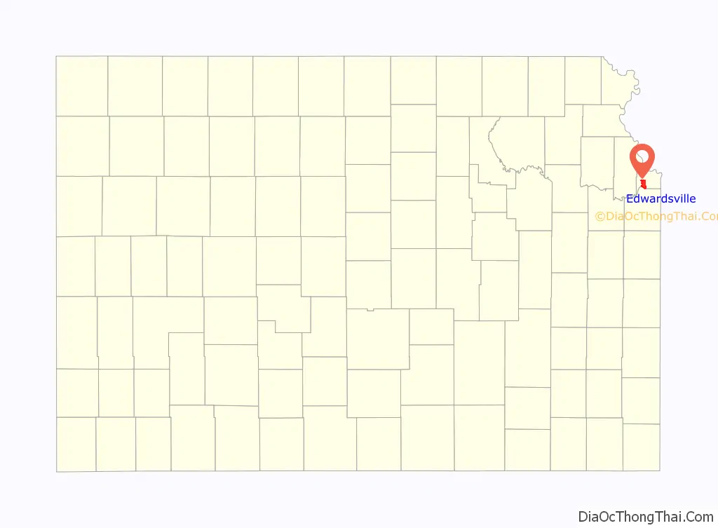
Edwardsville location map. Where is Edwardsville city?

History
Edwardsville was surveyed in 1869 on land formerly belonging to Half Moon, an Indian chief of the Delawares. It was named for John H. Edwards, a general passenger agent for the Union Pacific Railroad, who later served as a justice of the peace and state senator from Ellis County, Kansas.
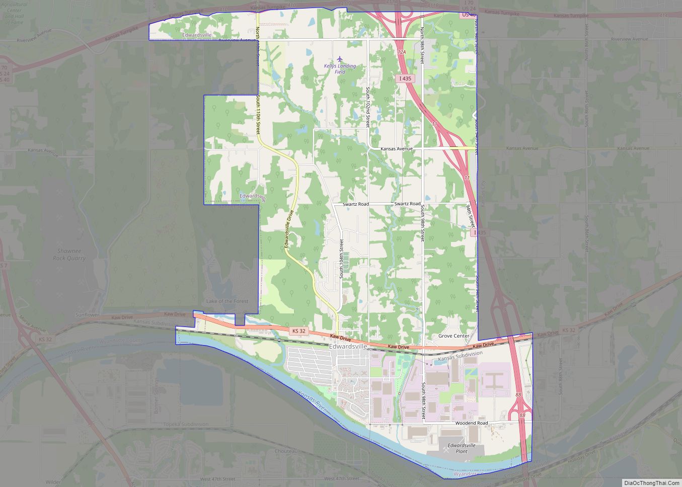
Edwardsville Road Map
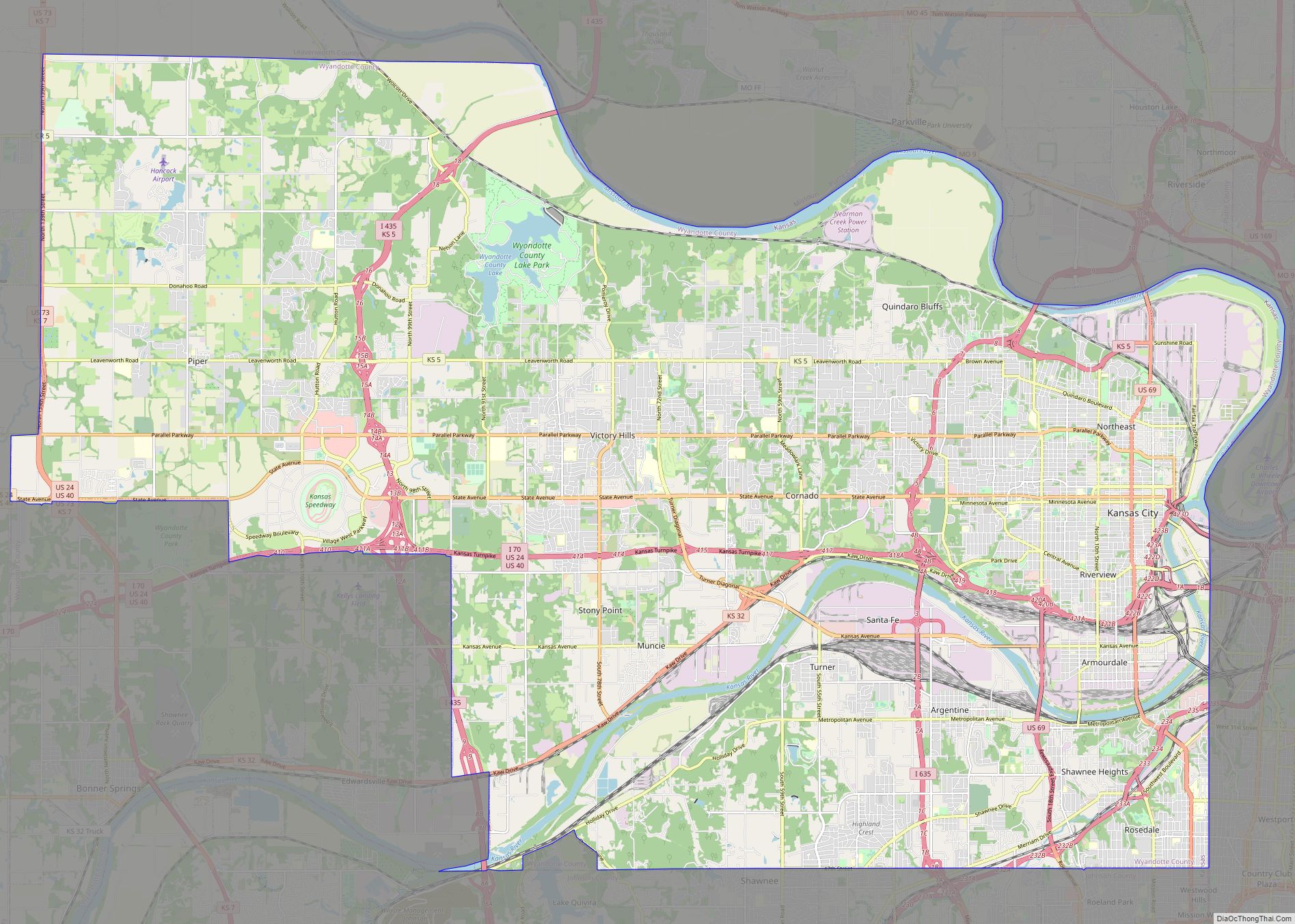
Edwardsville city Satellite Map

Geography
Edwardsville is located at 39°03′48″N 94°48′52″W / 39.063428°N 94.814347°W / 39.063428; -94.814347 (39.063428, -94.814347). According to the United States Census Bureau, the city has a total area of 9.36 square miles (24.24 km), of which, 9.04 square miles (23.41 km) is land and 0.32 square miles (0.83 km) is water.
See also
Map of Kansas State and its subdivision:- Allen
- Anderson
- Atchison
- Barber
- Barton
- Bourbon
- Brown
- Butler
- Chase
- Chautauqua
- Cherokee
- Cheyenne
- Clark
- Clay
- Cloud
- Coffey
- Comanche
- Cowley
- Crawford
- Decatur
- Dickinson
- Doniphan
- Douglas
- Edwards
- Elk
- Ellis
- Ellsworth
- Finney
- Ford
- Franklin
- Geary
- Gove
- Graham
- Grant
- Gray
- Greeley
- Greenwood
- Hamilton
- Harper
- Harvey
- Haskell
- Hodgeman
- Jackson
- Jefferson
- Jewell
- Johnson
- Kearny
- Kingman
- Kiowa
- Labette
- Lane
- Leavenworth
- Lincoln
- Linn
- Logan
- Lyon
- Marion
- Marshall
- McPherson
- Meade
- Miami
- Mitchell
- Montgomery
- Morris
- Morton
- Nemaha
- Neosho
- Ness
- Norton
- Osage
- Osborne
- Ottawa
- Pawnee
- Phillips
- Pottawatomie
- Pratt
- Rawlins
- Reno
- Republic
- Rice
- Riley
- Rooks
- Rush
- Russell
- Saline
- Scott
- Sedgwick
- Seward
- Shawnee
- Sheridan
- Sherman
- Smith
- Stafford
- Stanton
- Stevens
- Sumner
- Thomas
- Trego
- Wabaunsee
- Wallace
- Washington
- Wichita
- Wilson
- Woodson
- Wyandotte
- Alabama
- Alaska
- Arizona
- Arkansas
- California
- Colorado
- Connecticut
- Delaware
- District of Columbia
- Florida
- Georgia
- Hawaii
- Idaho
- Illinois
- Indiana
- Iowa
- Kansas
- Kentucky
- Louisiana
- Maine
- Maryland
- Massachusetts
- Michigan
- Minnesota
- Mississippi
- Missouri
- Montana
- Nebraska
- Nevada
- New Hampshire
- New Jersey
- New Mexico
- New York
- North Carolina
- North Dakota
- Ohio
- Oklahoma
- Oregon
- Pennsylvania
- Rhode Island
- South Carolina
- South Dakota
- Tennessee
- Texas
- Utah
- Vermont
- Virginia
- Washington
- West Virginia
- Wisconsin
- Wyoming