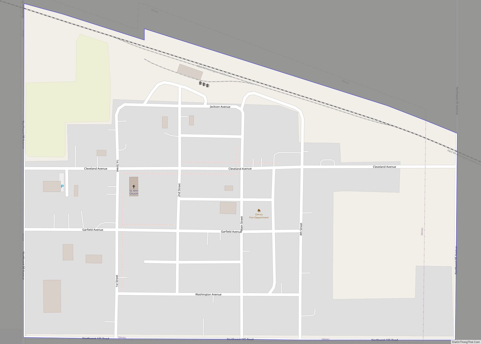
Olmitz is a city in Barton County, Kansas, United States. As of the 2020 census, the population of the city was 90. Olmitz city overview: Name: Olmitz city LSAD Code: 25 LSAD Description: city (suffix) State: Kansas County: Barton County Founded: 1880s Incorporated: 1920 Elevation: 2,021 ft (616 m) Total Area: 0.16 sq mi (0.41 km²) Land Area: 0.16 sq mi (0.41 km²) ... Read more
Map of US Cities and Places
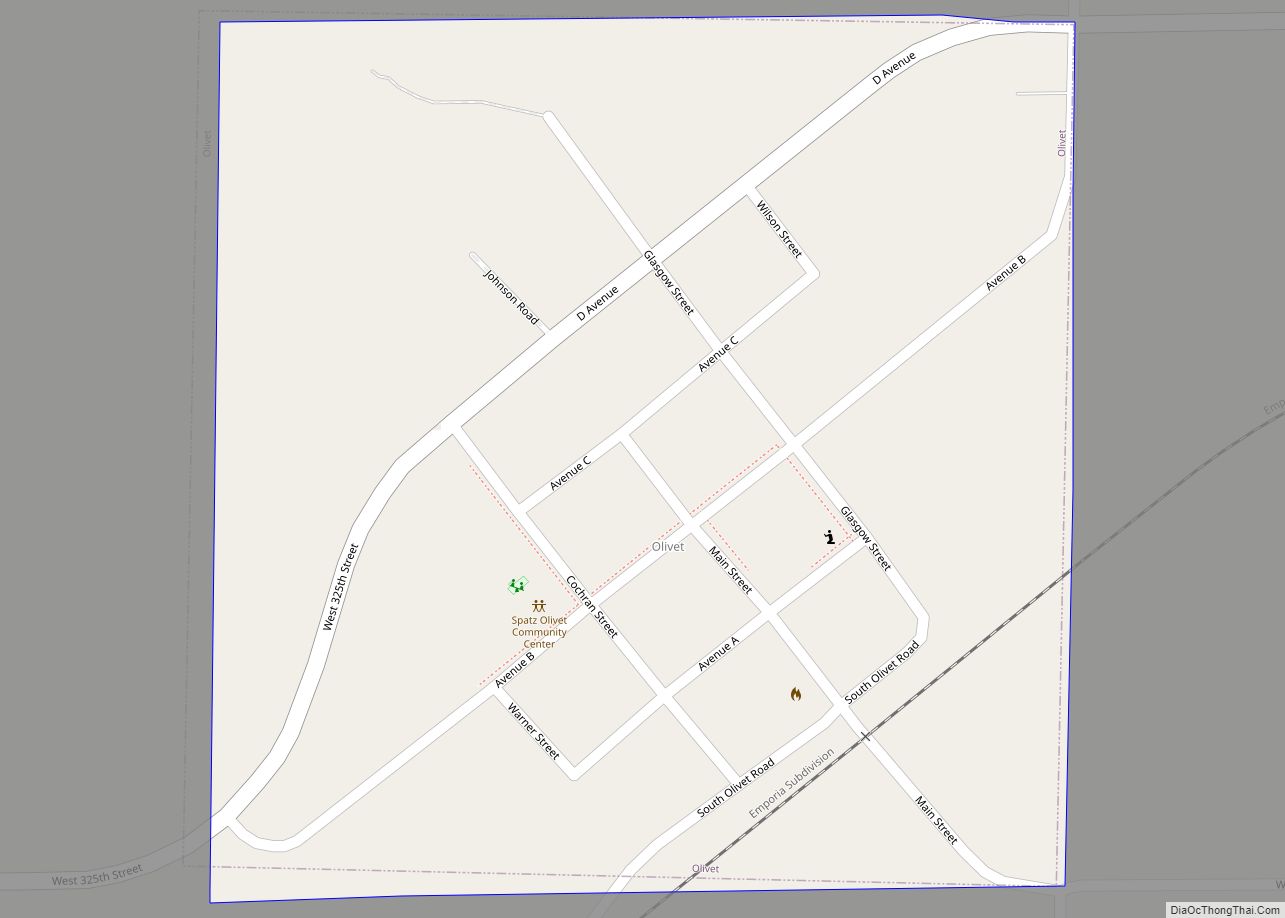
Olivet is a city in Osage County, Kansas, United States. As of the 2020 census, the population of the city was 73. It is located near the south side of Melvern Lake. Olivet city overview: Name: Olivet city LSAD Code: 25 LSAD Description: city (suffix) State: Kansas County: Osage County Founded: 1869 Incorporated: 1870 Elevation: ... Read more
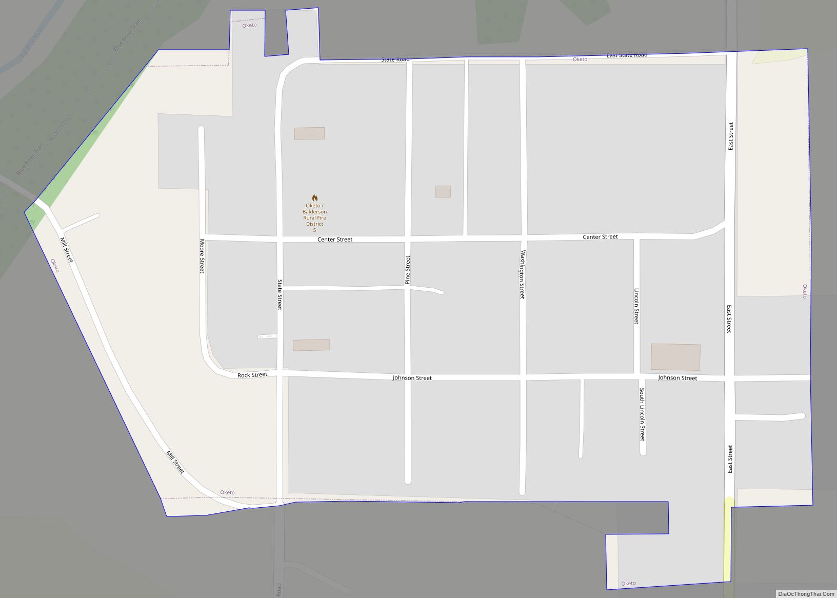
Oketo is a city in Marshall County, Kansas, United States. As of the 2020 census, the population of the city was 64. Oketo city overview: Name: Oketo city LSAD Code: 25 LSAD Description: city (suffix) State: Kansas County: Marshall County Incorporated: 1887 Elevation: 1,266 ft (386 m) Total Area: 0.10 sq mi (0.27 km²) Land Area: 0.10 sq mi (0.27 km²) Water Area: ... Read more
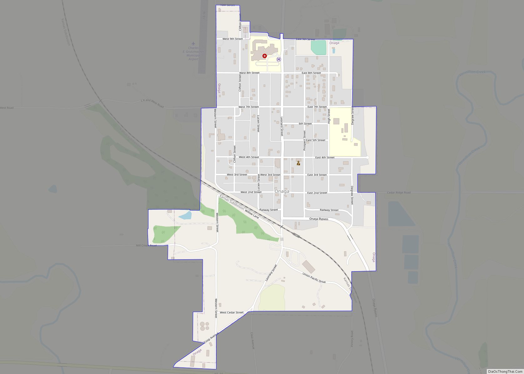
Onaga is a city in Pottawatomie County, Kansas, United States. As of the 2020 census, the population of the city was 679. Onaga city overview: Name: Onaga city LSAD Code: 25 LSAD Description: city (suffix) State: Kansas County: Pottawatomie County Incorporated: by 1881, 1926 Elevation: 1,099 ft (335 m) Total Area: 0.66 sq mi (1.70 km²) Land Area: 0.66 sq mi (1.70 km²) ... Read more
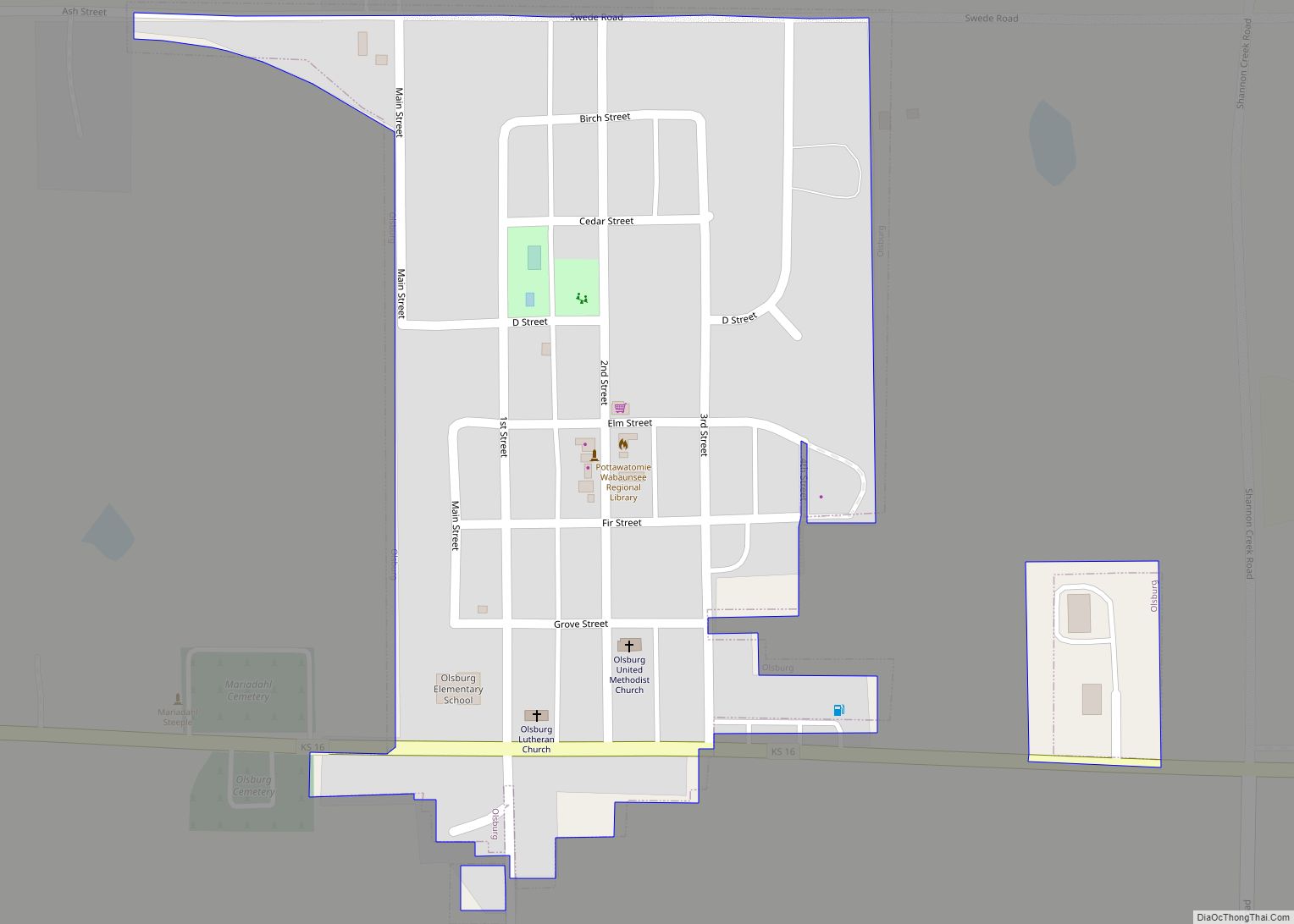
Olsburg is a city in Pottawatomie County, Kansas, United States. As of the 2020 census, the population of the city was 218. Olsburg city overview: Name: Olsburg city LSAD Code: 25 LSAD Description: city (suffix) State: Kansas County: Pottawatomie County Founded: late 1870s Incorporated: 1926 Elevation: 1,427 ft (435 m) Total Area: 0.18 sq mi (0.48 km²) Land Area: 0.18 sq mi ... Read more
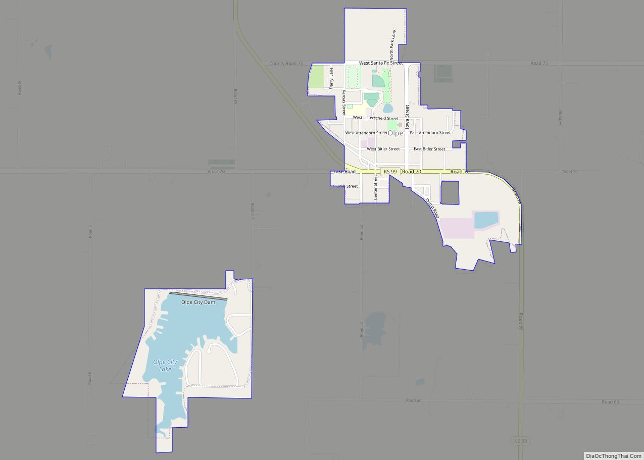
Olpe is a city in Lyon County, Kansas, United States. As of the 2020 census, the population of the city was 519. Olpe city overview: Name: Olpe city LSAD Code: 25 LSAD Description: city (suffix) State: Kansas County: Lyon County Founded: 1850s Incorporated: 1905 Elevation: 1,198 ft (365 m) Total Area: 0.83 sq mi (2.14 km²) Land Area: 0.70 sq mi (1.82 km²) ... Read more
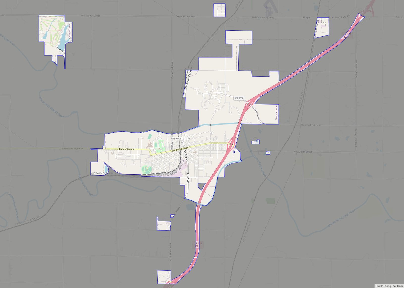
Osawatomie is a city in Miami County, Kansas, United States, 61 miles (98 km) southwest of Kansas City. As of the 2020 census, the population of the city was 4,255. It derives its name as a portmanteau of two nearby streams, the Marais des Cygnes River (formerly named “Osage River”) and Pottawatomie Creek. Osawatomie city overview: ... Read more
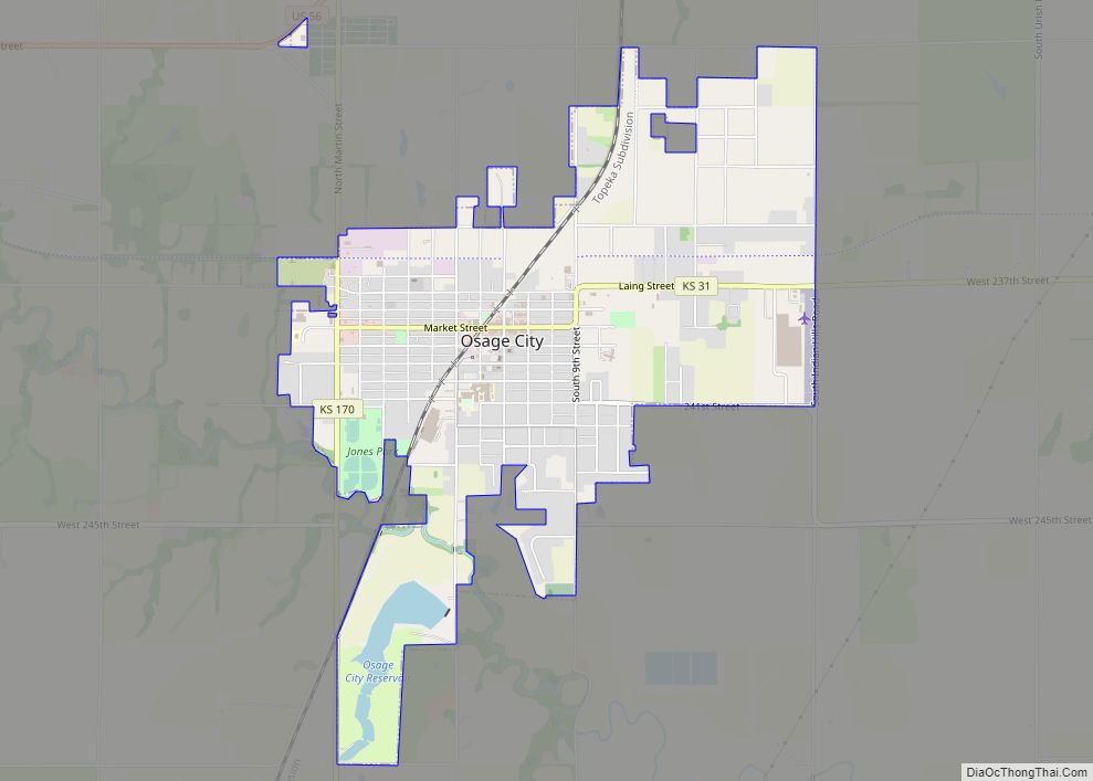
Osage City is a city in Osage County, Kansas, United States. As of the 2020 census, the population of the city was 2,861. Osage City city overview: Name: Osage City city LSAD Code: 25 LSAD Description: city (suffix) State: Kansas County: Osage County Founded: 1860s Incorporated: 1872 Elevation: 1,086 ft (331 m) Total Area: 3.23 sq mi (8.36 km²) Land ... Read more
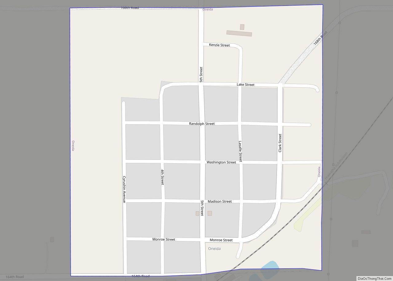
Oneida is a city in Nemaha County, Kansas, United States. As of the 2020 census, the population of the city was 61. Oneida city overview: Name: Oneida city LSAD Code: 25 LSAD Description: city (suffix) State: Kansas County: Nemaha County Incorporated: 1884 Elevation: 1,230 ft (370 m) Total Area: 0.23 sq mi (0.60 km²) Land Area: 0.23 sq mi (0.60 km²) Water Area: ... Read more
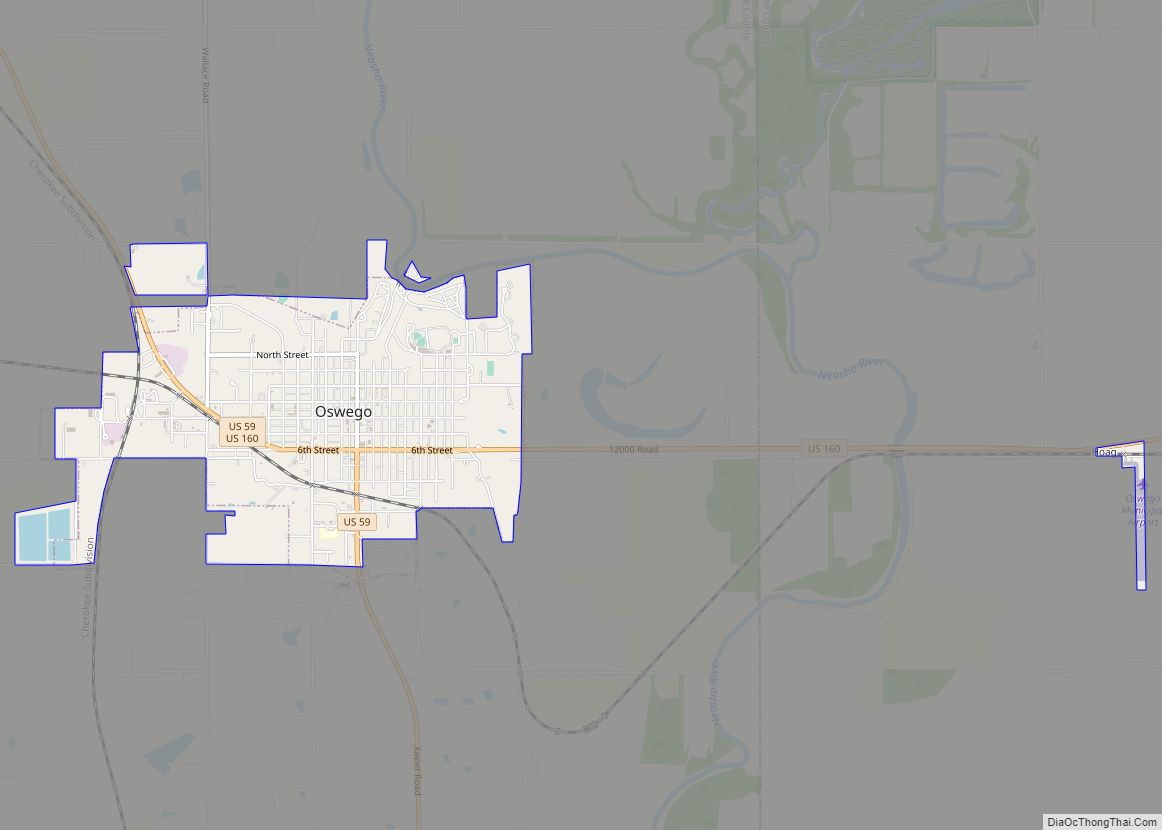
Oswego is a city in and the county seat of Labette County, Kansas, United States, and situated along the Neosho River. As of the 2020 census, the population of the city was 1,668. Oswego city overview: Name: Oswego city LSAD Code: 25 LSAD Description: city (suffix) State: Kansas County: Labette County Founded: 1865 Incorporated: 1867 ... Read more
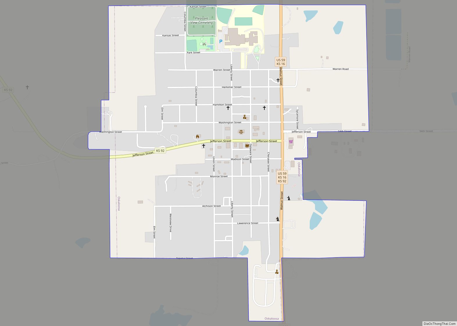
Oskaloosa is a city in and the county seat of Jefferson County, Kansas, United States. As of the 2020 census, the population of the city was 1110. Oskaloosa city overview: Name: Oskaloosa city LSAD Code: 25 LSAD Description: city (suffix) State: Kansas County: Jefferson County Founded: 1856 Incorporated: 1869 Elevation: 1,116 ft (340 m) Total Area: 1.00 sq mi ... Read more
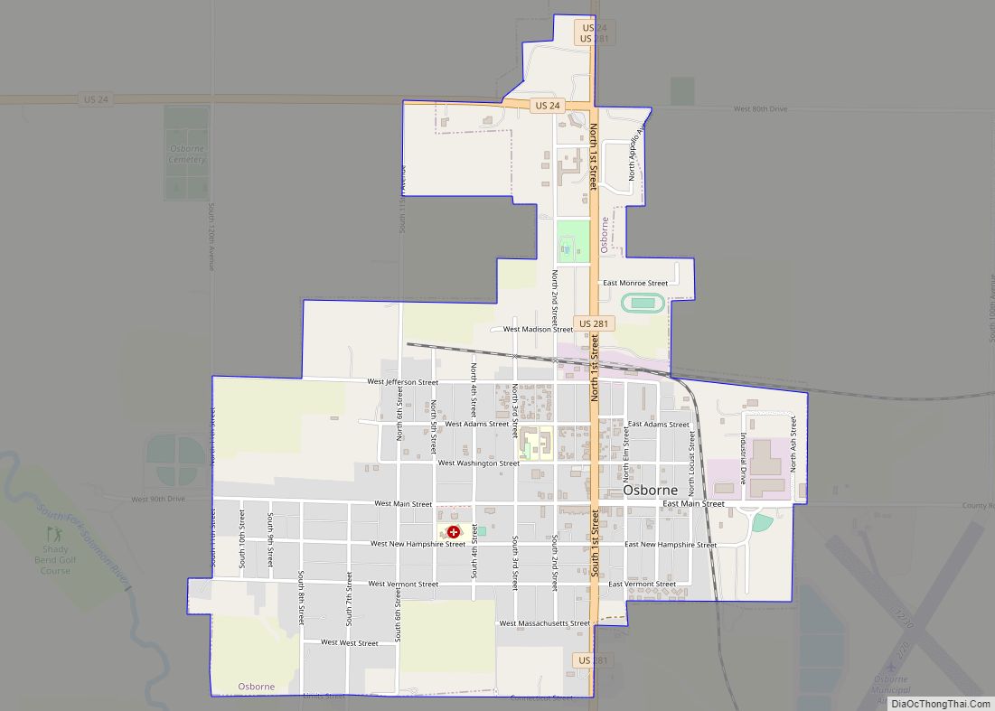
Osborne is a city in and the county seat of Osborne County, Kansas, United States. As of the 2020 census, the population of the city was 1,335. Osborne city overview: Name: Osborne city LSAD Code: 25 LSAD Description: city (suffix) State: Kansas County: Osborne County Founded: 1871 Incorporated: 1878 Elevation: 1,552 ft (473 m) Total Area: 1.54 sq mi ... Read more
