Oswego is a city in and the county seat of Labette County, Kansas, United States, and situated along the Neosho River. As of the 2020 census, the population of the city was 1,668.
| Name: | Oswego city |
|---|---|
| LSAD Code: | 25 |
| LSAD Description: | city (suffix) |
| State: | Kansas |
| County: | Labette County |
| Founded: | 1865 |
| Incorporated: | 1867 |
| Elevation: | 912 ft (278 m) |
| Total Area: | 2.47 sq mi (6.40 km²) |
| Land Area: | 2.41 sq mi (6.24 km²) |
| Water Area: | 0.06 sq mi (0.17 km²) |
| Total Population: | 1,668 |
| Population Density: | 680/sq mi (260/km²) |
| ZIP code: | 67356 |
| Area code: | 620 |
| FIPS code: | 2053450 |
| Website: | oswegokansas.com |
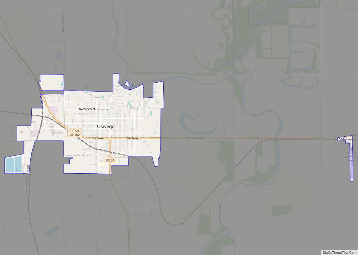
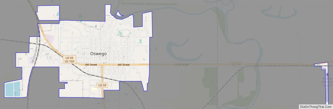
Online Interactive Map
Click on ![]() to view map in "full screen" mode.
to view map in "full screen" mode.
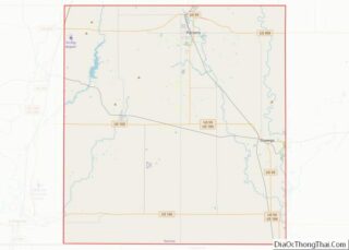
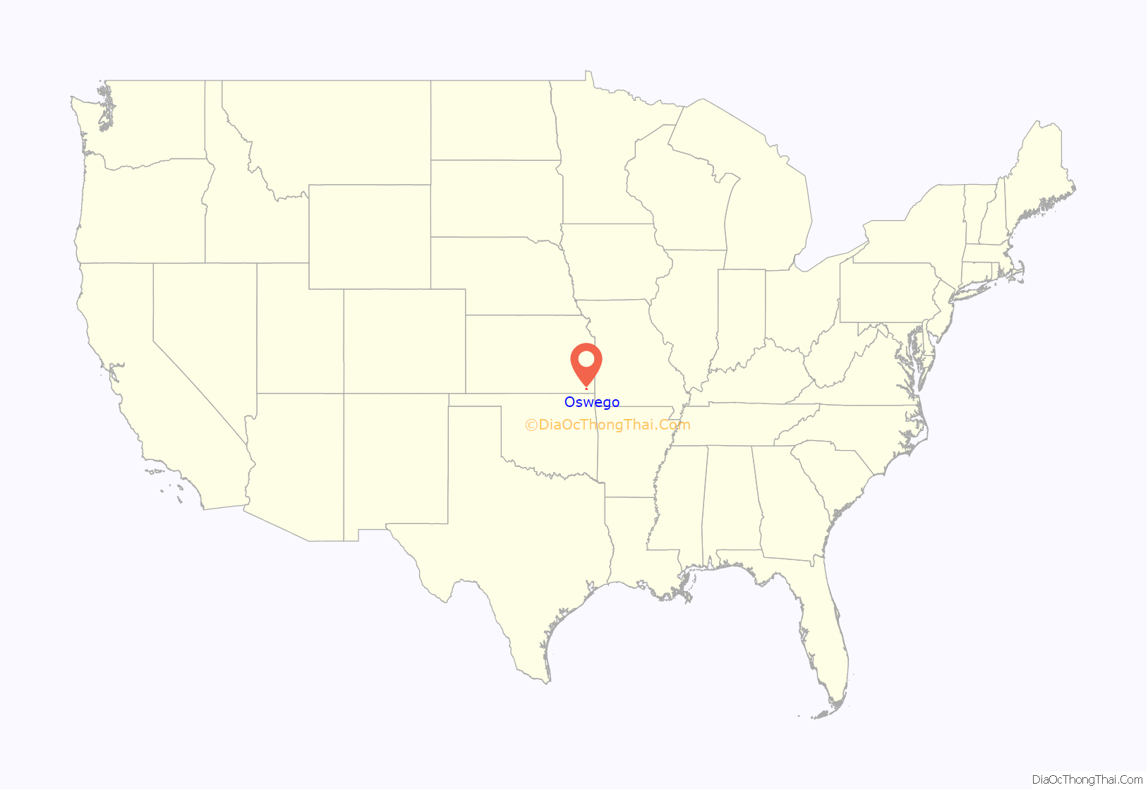
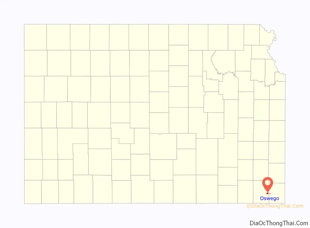
Oswego location map. Where is Oswego city?
History
Oswego is located on the site of an Osage village called No tse Wa spe, which means “Heart Stays” or more loosely translated, “Quiet Heart.” Jesuit Missionaries from Osage Mission (now St. Paul, Kansas) who worked among the Osages called the village “Little Town,” probably because the band of Osages who lived in the village were of the “Little Osage” division of the Osage People. More specifically, the Osage Village of Little Town was described as “Little Town Above” by the Jesuits, to distinguish it from another village, which was sometimes located just to the east of Little Town, called “Little Town Below.” While Osage villages were moved quite often (according to weather, hunting conditions, and sanitary conditions) Little Town Above was generally located on the bluff overlooking the Neosho River, where Oswego sits today. Little Town Below often sat near Horseshoe Lake, in the Neosho River Valley about a mile due east of Oswego. During the 1850s, Little Town was often referred to as “White Hair’s Town,” in honor of a resident of the village named Iron Hawk. Iron Hawk was named Grand Tsi Shu Chief (or Peace Chief) of the Osage Nation (through the 19th Century, it was traditional for the Osage Chief to take the name “White Hair”.)
A study of the baptismal records of the Jesuits at Osage Mission reveals that several white or mixed white and Osage families lived in or near Little Town before the Civil War. Several mixed white and Cherokee families also lived in or near the present site of Little Town, likely just east of the village in the Cherokee Neutral Lands or to the south, near Chetopa.
One family of mixed Osage blood that lived at Little Town before the Civil War was the John Allan Mathews family, who operated a blacksmith/gunsmith shop on the site and ran a trading post here, as well as one at Osage Mission and one at Fort Gibson. Mathews first purchased the trading post at Little Town from Augustus Chouteau in either 1838 or 1843, depending upon the source. Mathews was married to Mary Ann Williams until her death and then to her sister Sarah Jane Williams, daughters of William Sherley Williams, better known as “Old Bill Williams” and his Osage wife, A-Ci’n-Ga or Wind Blossom.
Mathews was a slaveholder from Kentucky, as evidenced by the baptismal records of the Osage Mission. Before the Civil War, Mathews was involved in driving off settlers from the adjacent Cherokee Neutral Lands and in stirring Southern sympathies among Native Americans living on the frontier. Early in the spring of 1861, Mathews was commissioned a captain in the Confederate Army and given orders to organize a company of soldiers from among sympathetic Native Americans, specifically, the Quapaw. In June 1861, he held a meeting at the house of Larkin McGhee in the nearby Osage village of Chetopa and organized a company of Osages and mixed-blood Cherokees for the Confederate Army. One of his sons, John Mathews, Jr. joined this company. September 8, 1861, Mathews led another company, this one made up of Osages, mixed-blooded Osages and Cherokees, and border ruffians. This second company raided and looted Humboldt, Kansas, capturing no less than a dozen freed slaves. James Lane put a $1000.00 bounty on the head of Mathews, who was soon betrayed by a man who worked at his ranch. The man helped James G. Blunt and the Kansas 6th Volunteer Cavalry (and the Humboldt Home Guard) track down Mathews. He was killed at the house of William Blythe, rented by Lewis Rogers, just southeast of Chetopa on the Cherokee Neutral Lands.
The next day, local residents were tried by James G. Blunt in an impromptu court martial. Mathews’ ranch and trading post at Little Town were subsequently burned. The ranch had consisted of a two story double log cabin (covered with burr siding and sporting plastered walls), a blacksmith shop, a stable, slaves quarters, a well house, a smoke house, a woodshed, and other outbuildings, as well as two race tracks. He had title to 100 acres (0.40 km) on the bluff and 30 acres (120,000 m) below. He had no less than 100 head of cattle and 50 horses. His possessions and the stock of the trading post (including 50 buffalo robes and six bear skins) were distributed among the volunteers who had tracked him down. Little Town and many houses at Chetopa were also burned. The site of Little Town remained unoccupied by whites during the war. Most, but not all, of the Osages fled Kansas during the Civil War. Mathews’s own children fled to Texas and Kentucky.
In 1865, a number of settlers located at this point and called the town “Little Town.” Two years later, the Oswego town company was organized and so named for Oswego, New York, whence many of the settlers had come. Lots were given away to every person who would erect a building, with the result that the town grew very rapidly. The organization of Oswego as a city of the third class took place in February 1870. The town was made a city of the second class by proclamation of the governor in 1880.
The first frame house was put up by Dr. William S. Newlon in September 1865. The first frame store building was erected by Thomas J. Buntain, though the first store was opened in a log building in 1865 by Rexford & Elsbee. The post office was established in 1867 with Nelson Carr as postmaster. At that time, there were two provision stores, since Oswego was on the military road. M. George had opened a blacksmith shop and D.W. Clover a hotel, which was not only an inn for the public, but the county headquarters, a political rendezvous and a news center. This was the second hotel, the first having been built in 1866 by William A. Hogaboom. In 1868, Mr. Shanks operated the first pottery and made several kilns of stoneware; a cotton gin was set up the same year. The first bank was opened in 1868 by W. M. Johnson, who was forced two years later to make an assignment of all that he had to satisfy his creditors. The second bank was started in July 1870 by B. F. Hibart and H. L. Taylor, which was a success. The State Bank of Oswego started business a few weeks later, but discontinued after a short time, as there was not business enough for two banks. In September 1870, a steam sawmill was erected by Macon, Krell & Cowell.
The first newspaper was the Oswego Register, established in 1868 by E.R. Trask. The first church was the Congregational, organized in May 1868; the Presbyterian church was founded in July of the same year. The first school was opened in 1867. The public library association was organized in 1877 and continues in the form of Oswego Public Library[1], a Carnegie Library, today. The telephone system was put into operation in 1882, the waterworks in 1887, and the first electric lights were turned on July 12, 1888 (but were turned off a few months later).
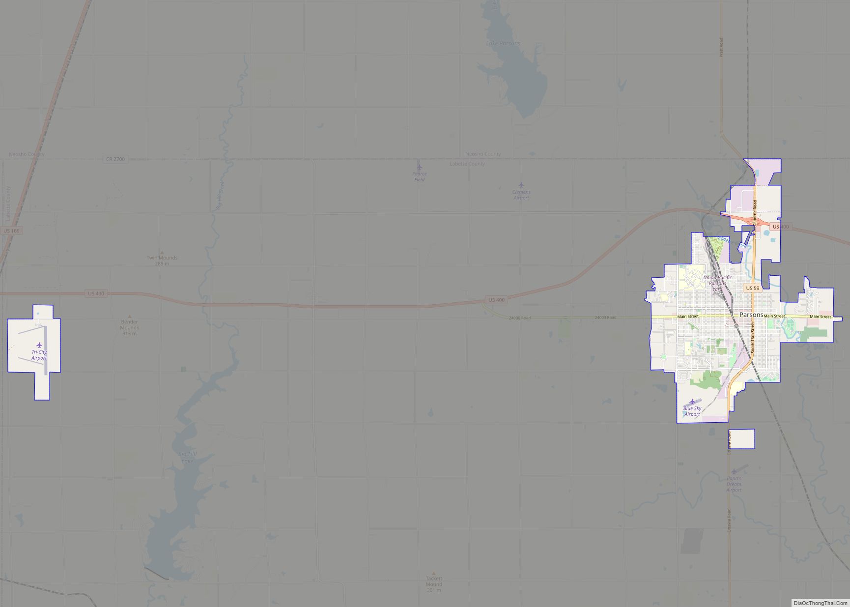
In 2011, the City Council voted to annex city-owned Oswego Municipal Airport into the city limits, expanding Oswego into neighboring Cherokee County.
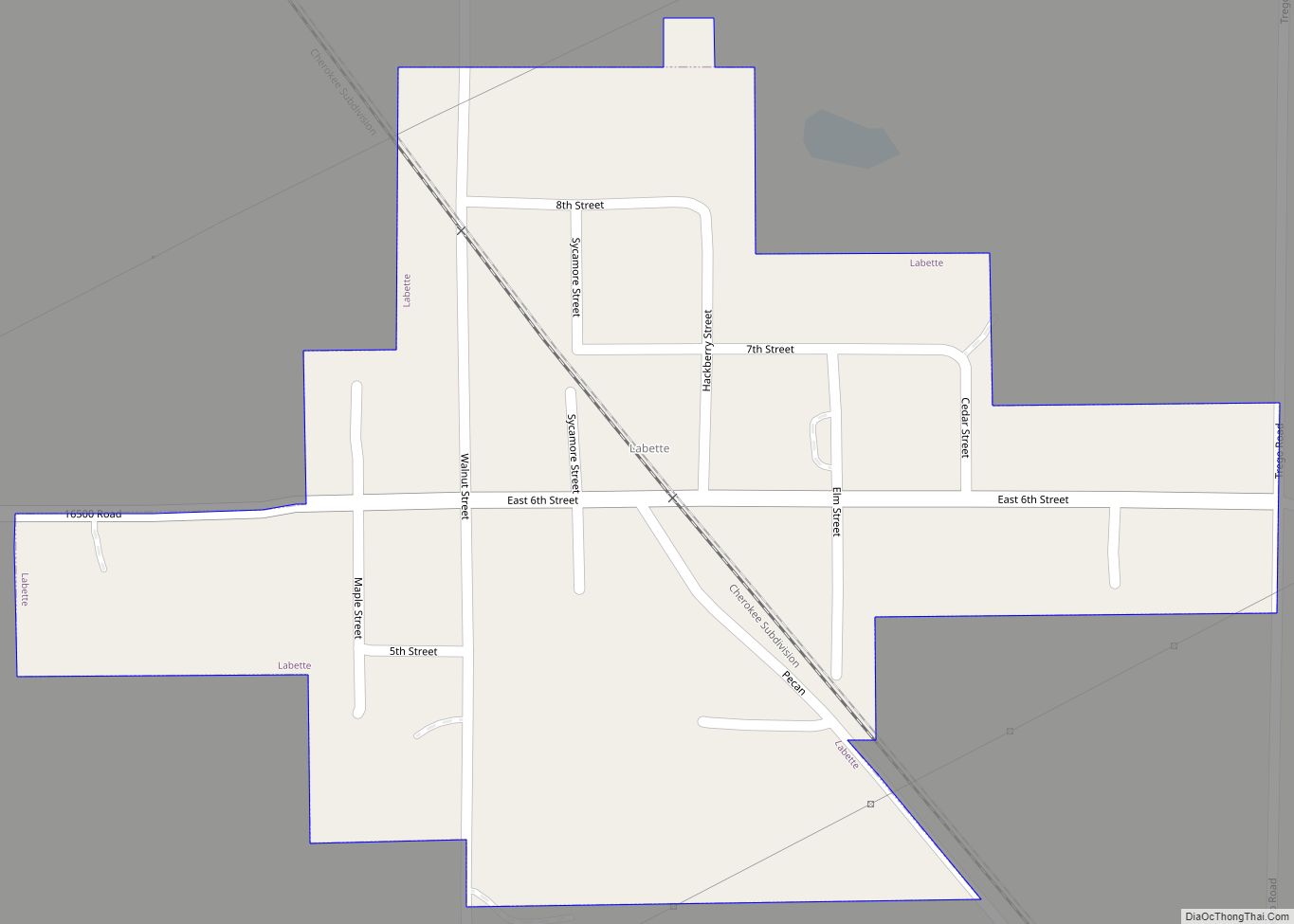
Oswego Road Map
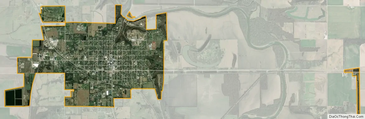
Oswego city Satellite Map
Geography
Oswego is located approximately 12 miles (19 km) north of the Oklahoma state line and 30 miles (48 km) west of the Missouri line. It is situated along the southern bluffs overlooking the Neosho River valley at the junction of U.S. Route 59 and U.S. Route 160. According to the United States Census Bureau, the city has a total area of 2.30 square miles (5.96 km), of which, 2.24 square miles (5.80 km) is land and 0.06 square miles (0.16 km) is water.
Climate
The climate in this area is characterized by hot, humid summers and generally mild to cool winters. According to the Köppen Climate Classification system, Oswego has a humid subtropical climate, abbreviated “Cfa” on climate maps.
See also
Map of Kansas State and its subdivision:- Allen
- Anderson
- Atchison
- Barber
- Barton
- Bourbon
- Brown
- Butler
- Chase
- Chautauqua
- Cherokee
- Cheyenne
- Clark
- Clay
- Cloud
- Coffey
- Comanche
- Cowley
- Crawford
- Decatur
- Dickinson
- Doniphan
- Douglas
- Edwards
- Elk
- Ellis
- Ellsworth
- Finney
- Ford
- Franklin
- Geary
- Gove
- Graham
- Grant
- Gray
- Greeley
- Greenwood
- Hamilton
- Harper
- Harvey
- Haskell
- Hodgeman
- Jackson
- Jefferson
- Jewell
- Johnson
- Kearny
- Kingman
- Kiowa
- Labette
- Lane
- Leavenworth
- Lincoln
- Linn
- Logan
- Lyon
- Marion
- Marshall
- McPherson
- Meade
- Miami
- Mitchell
- Montgomery
- Morris
- Morton
- Nemaha
- Neosho
- Ness
- Norton
- Osage
- Osborne
- Ottawa
- Pawnee
- Phillips
- Pottawatomie
- Pratt
- Rawlins
- Reno
- Republic
- Rice
- Riley
- Rooks
- Rush
- Russell
- Saline
- Scott
- Sedgwick
- Seward
- Shawnee
- Sheridan
- Sherman
- Smith
- Stafford
- Stanton
- Stevens
- Sumner
- Thomas
- Trego
- Wabaunsee
- Wallace
- Washington
- Wichita
- Wilson
- Woodson
- Wyandotte
- Alabama
- Alaska
- Arizona
- Arkansas
- California
- Colorado
- Connecticut
- Delaware
- District of Columbia
- Florida
- Georgia
- Hawaii
- Idaho
- Illinois
- Indiana
- Iowa
- Kansas
- Kentucky
- Louisiana
- Maine
- Maryland
- Massachusetts
- Michigan
- Minnesota
- Mississippi
- Missouri
- Montana
- Nebraska
- Nevada
- New Hampshire
- New Jersey
- New Mexico
- New York
- North Carolina
- North Dakota
- Ohio
- Oklahoma
- Oregon
- Pennsylvania
- Rhode Island
- South Carolina
- South Dakota
- Tennessee
- Texas
- Utah
- Vermont
- Virginia
- Washington
- West Virginia
- Wisconsin
- Wyoming