Osawatomie is a city in Miami County, Kansas, United States, 61 miles (98 km) southwest of Kansas City. As of the 2020 census, the population of the city was 4,255. It derives its name as a portmanteau of two nearby streams, the Marais des Cygnes River (formerly named “Osage River”) and Pottawatomie Creek.
| Name: | Osawatomie city |
|---|---|
| LSAD Code: | 25 |
| LSAD Description: | city (suffix) |
| State: | Kansas |
| County: | Miami County |
| Founded: | 1854 |
| Incorporated: | 1883 |
| Elevation: | 883 ft (269 m) |
| Total Area: | 5.34 sq mi (13.84 km²) |
| Land Area: | 5.25 sq mi (13.60 km²) |
| Water Area: | 0.09 sq mi (0.24 km²) |
| Total Population: | 4,255 |
| Population Density: | 800/sq mi (310/km²) |
| ZIP code: | 66064 |
| Area code: | 913 |
| FIPS code: | 2053225 |
| Website: | osawatomieks.org |
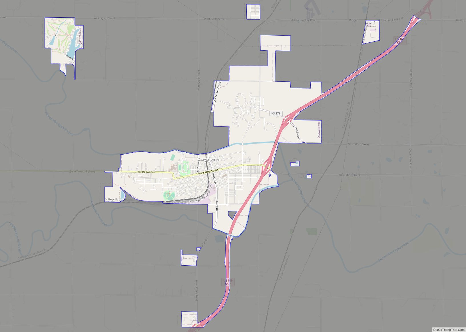
Online Interactive Map
Click on ![]() to view map in "full screen" mode.
to view map in "full screen" mode.
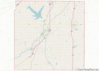
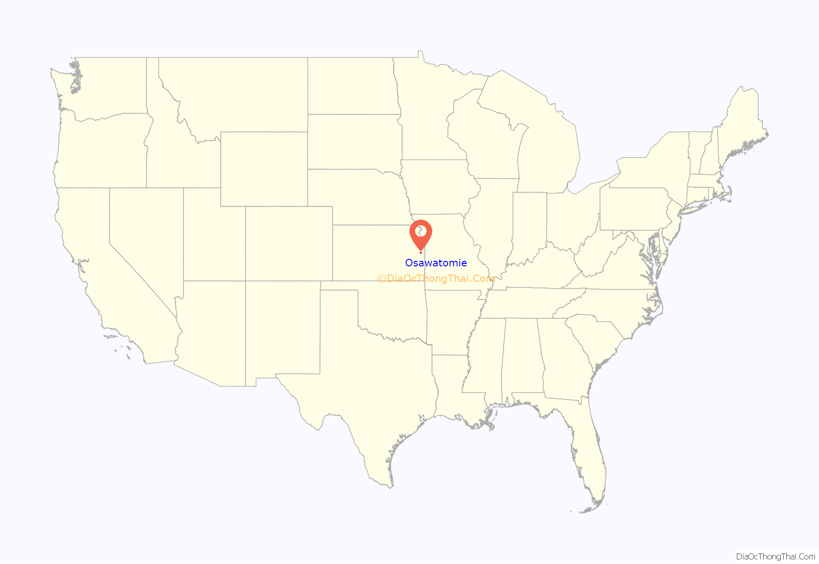
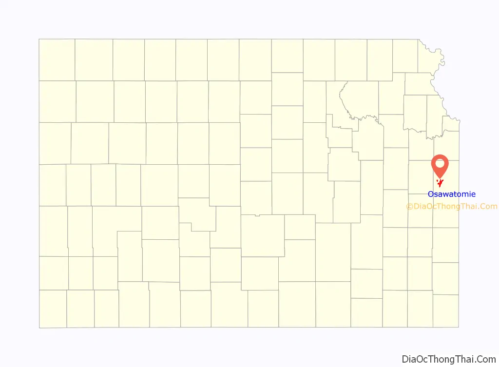
Osawatomie location map. Where is Osawatomie city?
History
Osawatomie’s name is a compound of two primary Native American tribes from the area, the Osage and Pottawatomie. The town is bordered by Pottawatomie Creek and the Marais des Cygnes River (part of the Osage River system), which are also named for the two tribes.
The Emigrant Aid Society’s transport of settlers to the Kansas Territory as a base for Free State forces was key in the establishment of the community of Osawatomie in October 1854. Settled by abolitionists in hope of aiding Kansas’s entry to the United States as a free state, the community of Osawatomie and pro-slavery communities nearby were quickly engaged in violence.
In March 1855, abolitionists Reverend Samuel Adair and his wife Florella settled in a cabin near Osawatomie to serve as missionaries to the community. Florella’s half-brother, John Brown came to Bleeding Kansas later the same year with a wagon of guns in order to help fight the pro slavery forces like his five sons, who were already living in another community in the area. Brown then came to Osawatomie to visit the Adairs and fight pro-slavery forces there. By 1856, having established himself as a leader of free state guerillas, Brown made Osawatomie and the Adair cabin his base. In a raid in May 1856, Brown killed five pro-slavery men along Pottawatomie Creek near the current town of Lane, Kansas. This was then referred to as the “Pottawatomie massacre”, which inflamed the fighting throughout the Kansas Territory. The second and main Battle of Osawatomie took place on August 30, 1856. Osawatomie played a key role throughout the Civil War, serving as a center for Jayhawker activity.
By 1857, Osawatomie had grown to a town of 800 and in 1859 hosted the first convention of the Kansas Republican Party. In recognition for Osawatomie’s part in ensuring Kansas remained a free state, the Kansas Legislature established the Osawatomie State Mental Hospital in 1863, the first mental hospital west of the Mississippi River. It admitted its first patient in 1866, and is still operational. By 1879, a railroad was built to serve Osawatomie, aiding its growth into a supply town and a main shipping point. As a result, Osawatomie grew to a population of 4,046 by 1910. Osawatomie was a division point for the Missouri Pacific Railroad and the Union Pacific Railroad from 1879 to 1985.
Osawatomie was chartered in 1883 and in 1890 became a second-class city. The commission form of government was adopted in 1914.
Battle of Osawatomie
The first skirmish in Osawatomie took place on June 7, 1856. However, there was not much of a fight, and no blood was shed. The town’s buildings were plundered, and some horses were taken. The larger, and main conflict known as the Battle of Osawatomie began August 30, 1856 as John Brown was camped just north Osawatomie and looking east for pro-slavery forces. A pro-slavery force of 250, led by John William Reid, came riding into Osawatomie from another direction. One of John Brown’s sons Frederick Brown was walking to the Adair cabin at the time, and was shot. When Reverend Adair heard the shot, he sent his own son to warn and notify John Brown of the raid. Brown and 31 of the free state guerillas took positions to attempt to defend Osawatomie. Heavy gunfire took place for over 45 minutes, until Brown and his men ran out of ammunition. They retreated hoping they would be chased, and the community of Osawatomie would be left alone. However, despite the attempts of Brown to get Reid’s men to follow, they instead looted and burned Osawatomie. Only three buildings remained standing when it was over.
Presidential visits
On August 31, 1910, President Theodore Roosevelt gave his famous New Nationalism speech in Osawatomie. The central issue he argued was government protection of human welfare and property rights.
On December 6, 2011, President Barack Obama gave an economic speech reprising many of Roosevelt’s themes at Osawatomie High School.
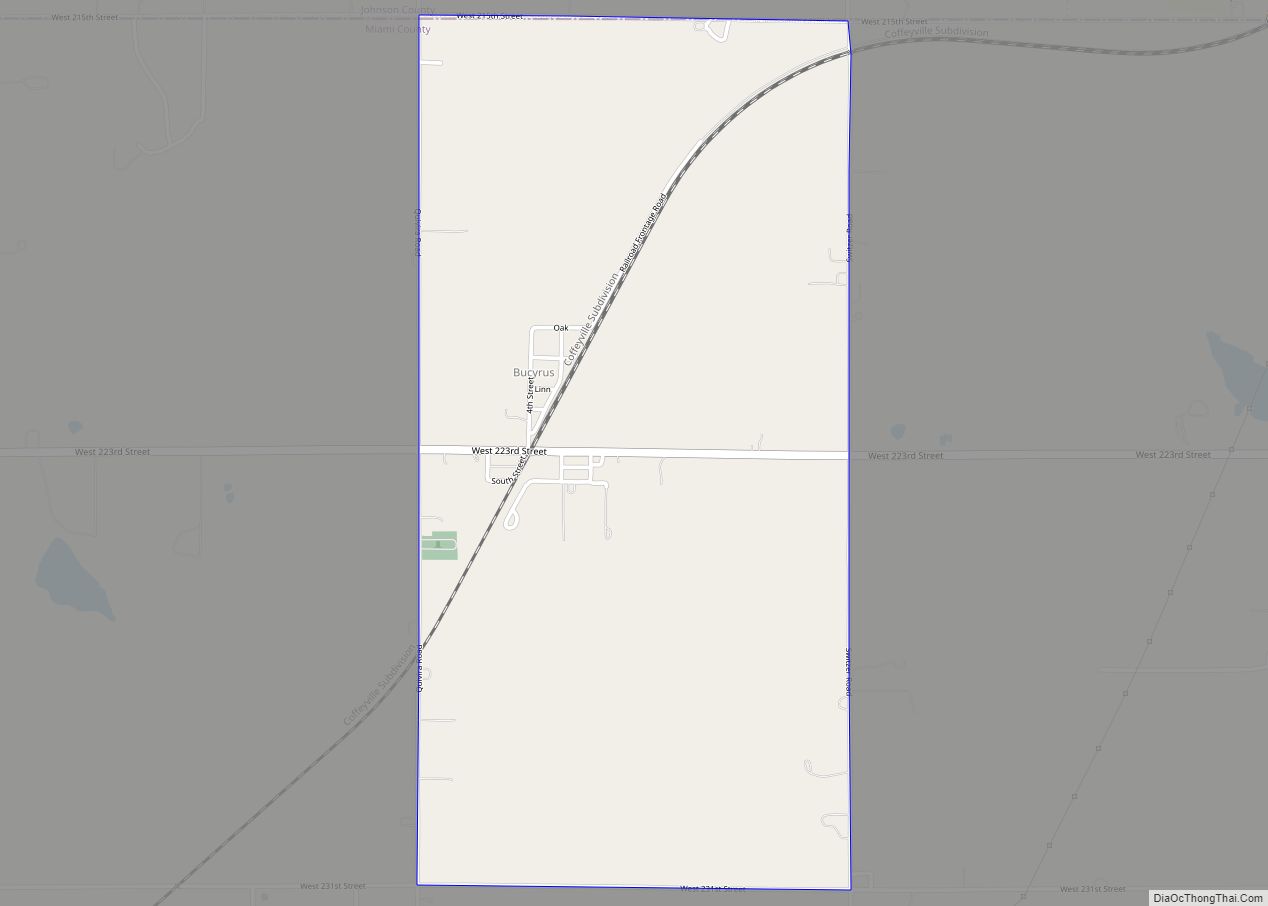
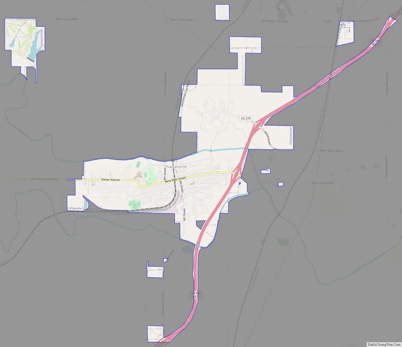
Osawatomie Road Map
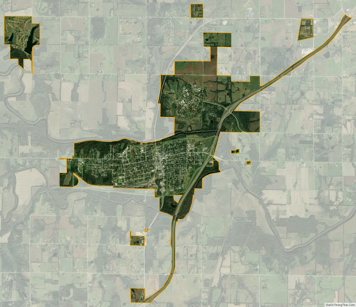
Osawatomie city Satellite Map
Geography
Osawatomie is located in southwest Miami County along US Route 169 and Kansas Highway 7. The Marais des Cygnes River flows past the north side of the community and Pottawatomie Creek flows past the south side.
According to the United States Census Bureau, the city has a total area of 5.11 square miles (13.23 km), of which, 5.00 square miles (12.95 km) is land and 0.11 square miles (0.28 km) is water.
Climate
The climate in this area is characterized by hot, humid summers and generally mild to cool dry winters. According to the Köppen Climate Classification system, Osawatomie has a humid subtropical climate, abbreviated “Cfa” on climate maps.
See also
Map of Kansas State and its subdivision:- Allen
- Anderson
- Atchison
- Barber
- Barton
- Bourbon
- Brown
- Butler
- Chase
- Chautauqua
- Cherokee
- Cheyenne
- Clark
- Clay
- Cloud
- Coffey
- Comanche
- Cowley
- Crawford
- Decatur
- Dickinson
- Doniphan
- Douglas
- Edwards
- Elk
- Ellis
- Ellsworth
- Finney
- Ford
- Franklin
- Geary
- Gove
- Graham
- Grant
- Gray
- Greeley
- Greenwood
- Hamilton
- Harper
- Harvey
- Haskell
- Hodgeman
- Jackson
- Jefferson
- Jewell
- Johnson
- Kearny
- Kingman
- Kiowa
- Labette
- Lane
- Leavenworth
- Lincoln
- Linn
- Logan
- Lyon
- Marion
- Marshall
- McPherson
- Meade
- Miami
- Mitchell
- Montgomery
- Morris
- Morton
- Nemaha
- Neosho
- Ness
- Norton
- Osage
- Osborne
- Ottawa
- Pawnee
- Phillips
- Pottawatomie
- Pratt
- Rawlins
- Reno
- Republic
- Rice
- Riley
- Rooks
- Rush
- Russell
- Saline
- Scott
- Sedgwick
- Seward
- Shawnee
- Sheridan
- Sherman
- Smith
- Stafford
- Stanton
- Stevens
- Sumner
- Thomas
- Trego
- Wabaunsee
- Wallace
- Washington
- Wichita
- Wilson
- Woodson
- Wyandotte
- Alabama
- Alaska
- Arizona
- Arkansas
- California
- Colorado
- Connecticut
- Delaware
- District of Columbia
- Florida
- Georgia
- Hawaii
- Idaho
- Illinois
- Indiana
- Iowa
- Kansas
- Kentucky
- Louisiana
- Maine
- Maryland
- Massachusetts
- Michigan
- Minnesota
- Mississippi
- Missouri
- Montana
- Nebraska
- Nevada
- New Hampshire
- New Jersey
- New Mexico
- New York
- North Carolina
- North Dakota
- Ohio
- Oklahoma
- Oregon
- Pennsylvania
- Rhode Island
- South Carolina
- South Dakota
- Tennessee
- Texas
- Utah
- Vermont
- Virginia
- Washington
- West Virginia
- Wisconsin
- Wyoming