Map of Westwood city, Kansas
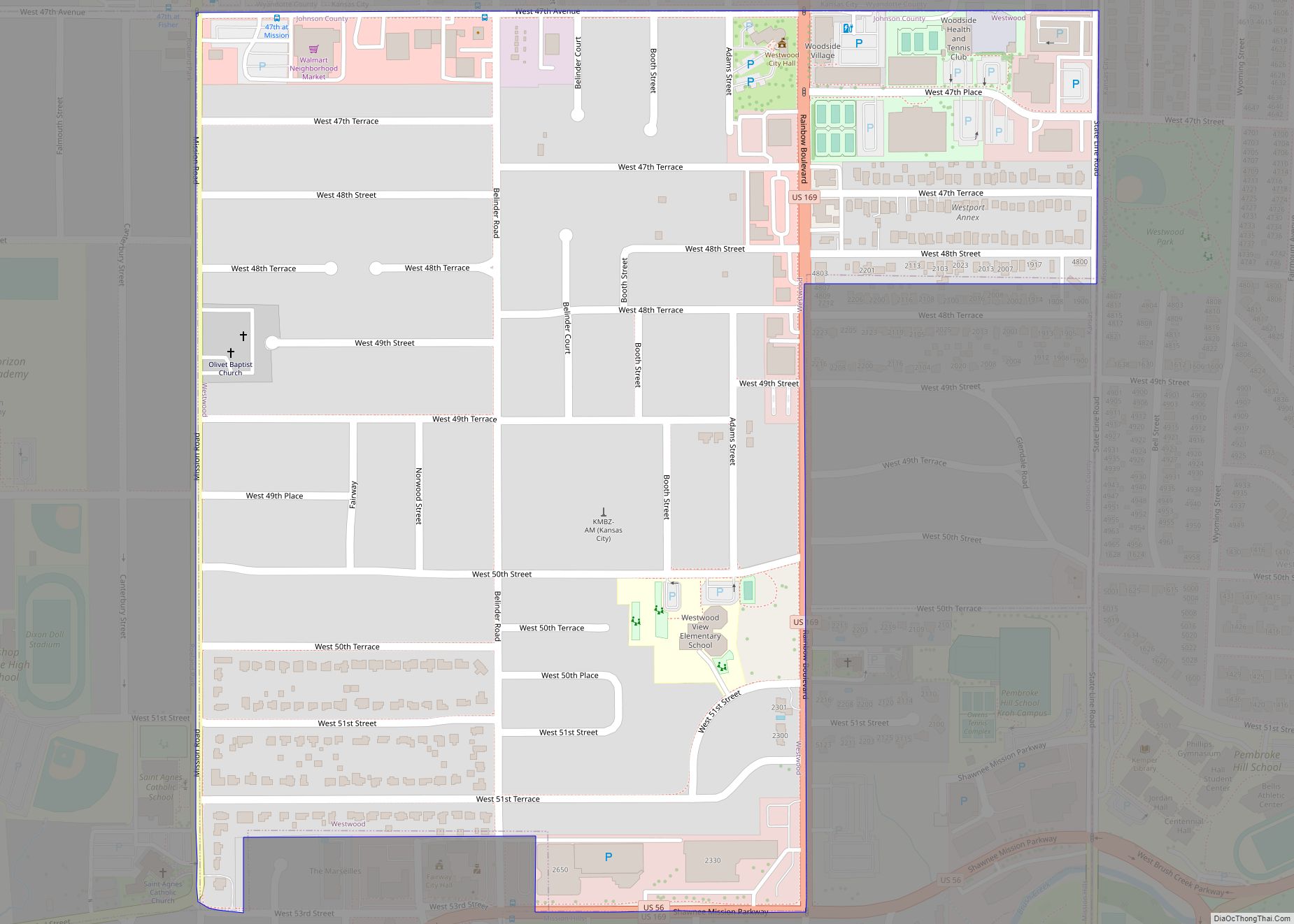
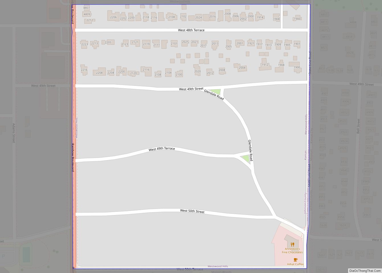
Westwood is a city in northeast Johnson County, Kansas, United States. As of the 2020 census, the population of the city was 1,750. It is the second most densely populated city in the Kansas City Metropolitan Area. Westwood city overview: Name: Westwood city LSAD Code: 25 LSAD Description: city (suffix) State: Kansas County: Johnson County ... Read more
Map of Westwood city, Kansas
Map of Westwood Hills city
Westwood Hills is a city in Johnson County, Kansas, United States. As of the 2020 census, the population of the city was 400. It is the most densely populated city in the Kansas City Metropolitan Area at 6,240 people per square mile. It borders Kansas City, Missouri. Westwood Hills city overview: Name: Westwood Hills city ... Read more
Map of Westwood Hills city
Map of Westphalia city, Kansas
Westphalia is a city in Anderson County, Kansas, United States. As of the 2020 census, the population of the city was 128. Westphalia city overview: Name: Westphalia city LSAD Code: 25 LSAD Description: city (suffix) State: Kansas County: Anderson County Founded: 1880 Incorporated: 1920 Elevation: 1,106 ft (337 m) Total Area: 0.20 sq mi (0.52 km²) Land Area: 0.20 sq mi (0.51 km²) ... Read more
Map of Westphalia city, Kansas
Map of White City, Kansas
White City is a city in Morris County, Kansas, United States. As of the 2020 census, the population of the city was 447. White City city overview: Name: White City city LSAD Code: 25 LSAD Description: city (suffix) State: Kansas County: Morris County Founded: 1871 Incorporated: 1885 Elevation: 1,473 ft (449 m) Total Area: 1.25 sq mi (3.23 km²) Land ... Read more
Map of White City, Kansas
Map of Wheaton city, Kansas
Wheaton is a city in Pottawatomie County, Kansas, United States. As of the 2020 census, the population of the city was 98. Wheaton city overview: Name: Wheaton city LSAD Code: 25 LSAD Description: city (suffix) State: Kansas County: Pottawatomie County Incorporated: 1926 Elevation: 1,503 ft (458 m) Total Area: 0.15 sq mi (0.40 km²) Land Area: 0.15 sq mi (0.40 km²) Water Area: ... Read more
Map of Wheaton city, Kansas
Map of Wetmore city
Wetmore is a city in Nemaha County, Kansas, United States. As of the 2020 census, the population of the city was 348. Wetmore city overview: Name: Wetmore city LSAD Code: 25 LSAD Description: city (suffix) State: Kansas County: Nemaha County Founded: 1866 Incorporated: 1882 Elevation: 1,132 ft (345 m) Total Area: 0.39 sq mi (1.00 km²) Land Area: 0.39 sq mi (1.00 km²) ... Read more
Map of Wetmore city
Map of Whiting city, Kansas
Whiting is a city in Jackson County, Kansas, United States. As of the 2020 census, the population of the city was 191. Whiting city overview: Name: Whiting city LSAD Code: 25 LSAD Description: city (suffix) State: Kansas County: Jackson County Founded: 1866 Elevation: 1,116 ft (340 m) Total Area: 1.01 sq mi (2.61 km²) Land Area: 1.01 sq mi (2.61 km²) Water Area: ... Read more
Map of Whiting city, Kansas
Map of Whitewater city, Kansas
Whitewater is a city in Butler County, Kansas, United States. As of the 2020 census, the population of the city was 661. Whitewater city overview: Name: Whitewater city LSAD Code: 25 LSAD Description: city (suffix) State: Kansas County: Butler County Founded: 1870s Incorporated: 1890 Elevation: 1,368 ft (417 m) Total Area: 0.41 sq mi (1.06 km²) Land Area: 0.41 sq mi (1.06 km²) ... Read more
Map of Whitewater city, Kansas
Map of White Cloud city, Kansas
White Cloud (Ioway: Chína Maxúthga pronounced [tʃʰiꜜnã mãxuθꜜkɐ] or Chína Maxúhga pronounced [tʃʰiꜜnã mãxuhꜜkɐ], meaning “Village Cloud-White”) is a city in Doniphan County, Kansas, United States. As of the 2020 census, the population of the city was 115. It was named for Francis White Cloud, a son of Chief White Cloud of the Iowa people. ... Read more
Map of White Cloud city, Kansas
Map of Willis city, Kansas
Willis is a city in Brown County, Kansas, United States. As of the 2020 census, the population of the city was 24. Willis city overview: Name: Willis city LSAD Code: 25 LSAD Description: city (suffix) State: Kansas County: Brown County Founded: 1880s Incorporated: 1893 Elevation: 1,161 ft (354 m) Total Area: 0.16 sq mi (0.42 km²) Land Area: 0.16 sq mi (0.42 km²) ... Read more
Map of Willis city, Kansas
Map of Williamsburg city, Kansas
Williamsburg is a city in Franklin County, Kansas, United States. As of the 2020 census, the population of the city was 390. Williamsburg city overview: Name: Williamsburg city LSAD Code: 25 LSAD Description: city (suffix) State: Kansas County: Franklin County Founded: 1868 Incorporated: 1869 Elevation: 1,142 ft (348 m) Total Area: 0.74 sq mi (1.92 km²) Land Area: 0.74 sq mi (1.91 km²) ... Read more
Map of Williamsburg city, Kansas
Map of Willard city, Kansas
Willard is a city in Shawnee and Wabaunsee counties in the State of Kansas in the United States. As of the 2020 census, the population of the city was 74. Willard city overview: Name: Willard city LSAD Code: 25 LSAD Description: city (suffix) State: Kansas County: Shawnee County, Wabaunsee County Founded: 1880s Incorporated: 1912 Elevation: ... Read more
Map of Willard city, Kansas