Westwood is a city in northeast Johnson County, Kansas, United States. As of the 2020 census, the population of the city was 1,750. It is the second most densely populated city in the Kansas City Metropolitan Area.
| Name: | Westwood city |
|---|---|
| LSAD Code: | 25 |
| LSAD Description: | city (suffix) |
| State: | Kansas |
| County: | Johnson County |
| Incorporated: | 1949 |
| Elevation: | 951 ft (290 m) |
| Total Area: | 0.41 sq mi (1.07 km²) |
| Land Area: | 0.41 sq mi (1.07 km²) |
| Water Area: | 0.00 sq mi (0.00 km²) |
| Total Population: | 1,750 |
| Population Density: | 4,300/sq mi (1,600/km²) |
| ZIP code: | 66205 |
| Area code: | 913 |
| FIPS code: | 2077500 |
| Website: | westwoodks.org |
Online Interactive Map
Click on ![]() to view map in "full screen" mode.
to view map in "full screen" mode.
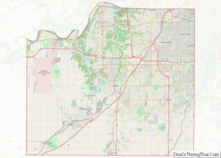
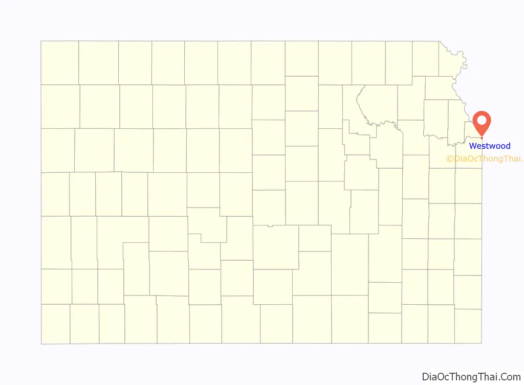
Westwood location map. Where is Westwood city?

History
The land where Westwood is located was originally occupied by the Kansa and Pawnee Indians. However, beginning in the 1830s, Captain Joseph Parks, then Head Chief of the Shawnee, worked with the U.S. Government to remove the Shawnee tribes from Ohio to the newly opened reservations in Northeast Kansas. In exchange for his services, the government awarded Parks 1,290 acres of land straddling what is now Johnson and Wyandotte counties as part of an 1854 treaty with the Shawnee. In 1859 Parks died without leaving a will stating what should happen to the land. His heirs spent the next 60 years disputing how the land should be divided. The land that would eventually become Westwood was ultimately awarded to Parks’ granddaughter and her husband, Catherine and John Swatzell. In 1898 the Swatzells built a stone home. That home is still located at 4958 Rainbow and is considered the beginnings of the community that would eventually become Westwood.
Following World War II the land around the Swatzell’s residence began to be seriously developed as a suburb of Kansas City. Originally residents formed the Hudson Mission Homes Association as a loose group who worked to bring streets and utilities to the area. Westwood was formally incorporated as a city in 1949. The name “Westwood” was chosen for the city because immediately to the East of Westwood there was Westwood, Missouri, which was already a thriving neighborhood. Further, the name Westwood already appeared in several area subdivisions and the elementary school which was already in existence was called Westwood View
The Westwood Neighborhood Association was formed in 1987 for the purpose of hosting community events. Its first president was Tom Shanks, a sixteen-year-old resident. Its first event was Oktoberfest held in the park located at 50th and Rainbow. It is an event that still takes place in the community annually.
Westwood maintains its own police department which serves the general public living and passing through Westwood.
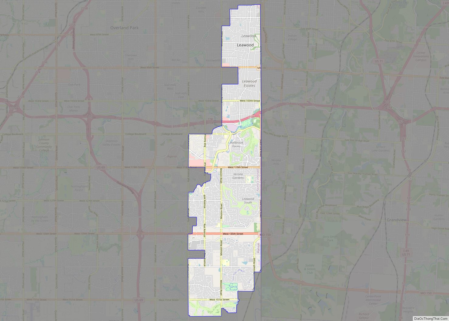
Westwood Road Map

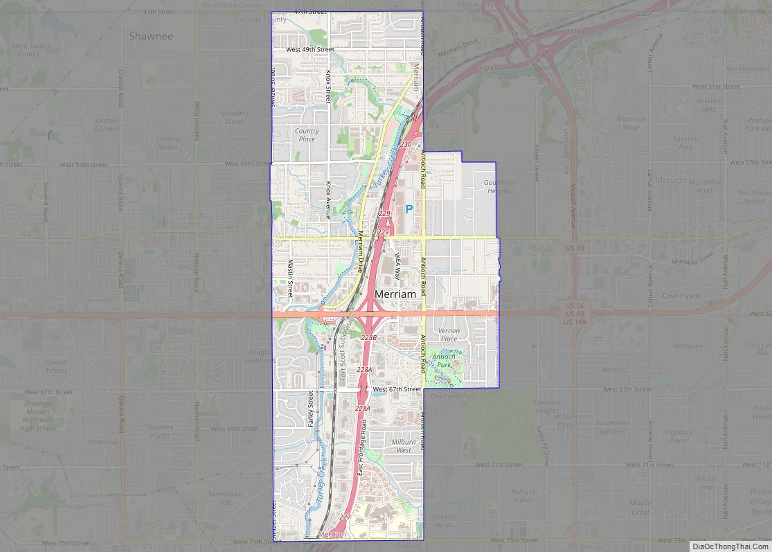
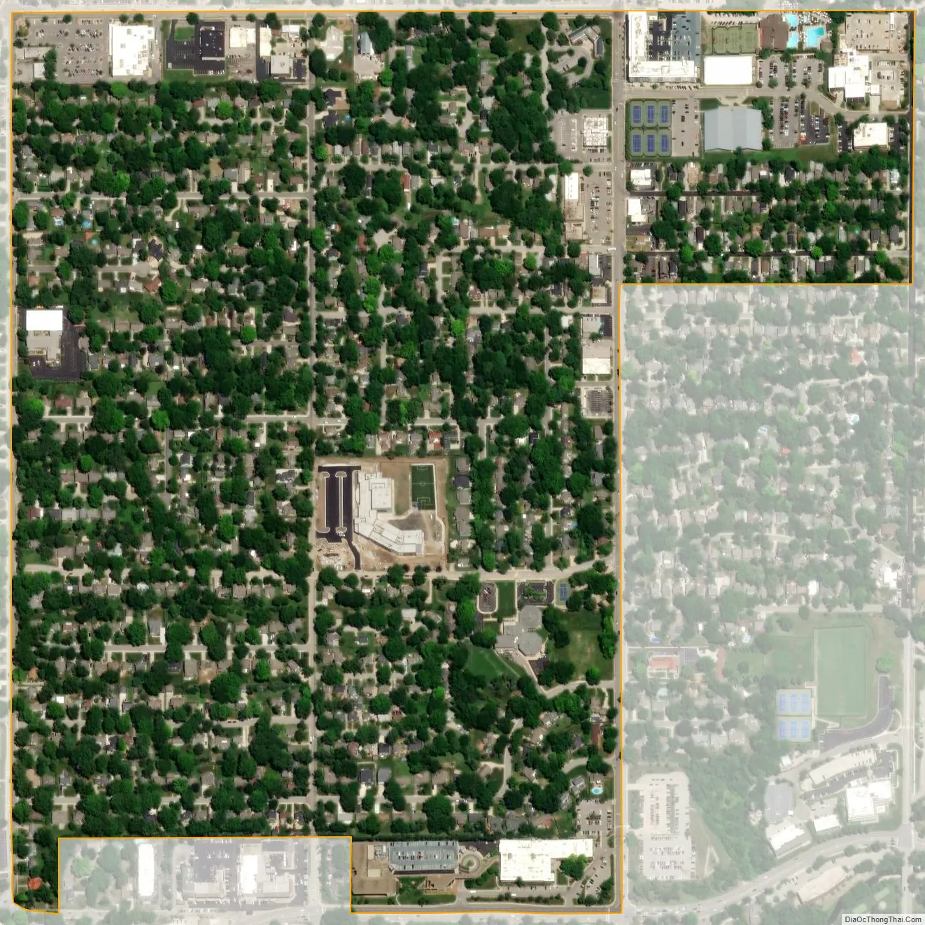
Westwood city Satellite Map
Geography
According to the United States Census Bureau, the city has a total area of 0.41 square miles (1.06 km), all of it land. The original boundaries of the city were 47th Street to the North, Rainbow Boulevard to the East, Shawnee Mission Parkway and the rear property line of the homes on 51st Terrace to the South, and Mission Road to the West. In 1960 the city also annexed Westport Annex and Westport View, extending the boundaries of the city to include 47th Place, 47th Terrace, and 48th Street from Rainbow Boulevard to State Line Road. In a 1973 vote, the city declined to consolidate with the neighboring city of Westwood Hills, Kansas.
See also
Map of Kansas State and its subdivision:- Allen
- Anderson
- Atchison
- Barber
- Barton
- Bourbon
- Brown
- Butler
- Chase
- Chautauqua
- Cherokee
- Cheyenne
- Clark
- Clay
- Cloud
- Coffey
- Comanche
- Cowley
- Crawford
- Decatur
- Dickinson
- Doniphan
- Douglas
- Edwards
- Elk
- Ellis
- Ellsworth
- Finney
- Ford
- Franklin
- Geary
- Gove
- Graham
- Grant
- Gray
- Greeley
- Greenwood
- Hamilton
- Harper
- Harvey
- Haskell
- Hodgeman
- Jackson
- Jefferson
- Jewell
- Johnson
- Kearny
- Kingman
- Kiowa
- Labette
- Lane
- Leavenworth
- Lincoln
- Linn
- Logan
- Lyon
- Marion
- Marshall
- McPherson
- Meade
- Miami
- Mitchell
- Montgomery
- Morris
- Morton
- Nemaha
- Neosho
- Ness
- Norton
- Osage
- Osborne
- Ottawa
- Pawnee
- Phillips
- Pottawatomie
- Pratt
- Rawlins
- Reno
- Republic
- Rice
- Riley
- Rooks
- Rush
- Russell
- Saline
- Scott
- Sedgwick
- Seward
- Shawnee
- Sheridan
- Sherman
- Smith
- Stafford
- Stanton
- Stevens
- Sumner
- Thomas
- Trego
- Wabaunsee
- Wallace
- Washington
- Wichita
- Wilson
- Woodson
- Wyandotte
- Alabama
- Alaska
- Arizona
- Arkansas
- California
- Colorado
- Connecticut
- Delaware
- District of Columbia
- Florida
- Georgia
- Hawaii
- Idaho
- Illinois
- Indiana
- Iowa
- Kansas
- Kentucky
- Louisiana
- Maine
- Maryland
- Massachusetts
- Michigan
- Minnesota
- Mississippi
- Missouri
- Montana
- Nebraska
- Nevada
- New Hampshire
- New Jersey
- New Mexico
- New York
- North Carolina
- North Dakota
- Ohio
- Oklahoma
- Oregon
- Pennsylvania
- Rhode Island
- South Carolina
- South Dakota
- Tennessee
- Texas
- Utah
- Vermont
- Virginia
- Washington
- West Virginia
- Wisconsin
- Wyoming