Westwood Hills is a city in Johnson County, Kansas, United States. As of the 2020 census, the population of the city was 400. It is the most densely populated city in the Kansas City Metropolitan Area at 6,240 people per square mile. It borders Kansas City, Missouri.
| Name: | Westwood Hills city |
|---|---|
| LSAD Code: | 25 |
| LSAD Description: | city (suffix) |
| State: | Kansas |
| County: | Johnson County |
| Founded: | 1922 |
| Incorporated: | 1949 |
| Elevation: | 899 ft (274 m) |
| Total Area: | 0.06 sq mi (0.17 km²) |
| Land Area: | 0.06 sq mi (0.17 km²) |
| Water Area: | 0.00 sq mi (0.00 km²) |
| Total Population: | 400 |
| Population Density: | 6,700/sq mi (2,400/km²) |
| ZIP code: | 66205 |
| Area code: | 913 |
| FIPS code: | 2077525 |
| Website: | westwoodhillsks.gov |
Online Interactive Map
Click on ![]() to view map in "full screen" mode.
to view map in "full screen" mode.
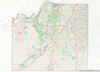
Westwood Hills location map. Where is Westwood Hills city?


History
Westwood Hills had its start in the year 1922 when developer J.C. Nichols platted the subdivision and began building.
Westwood Hills Road Map

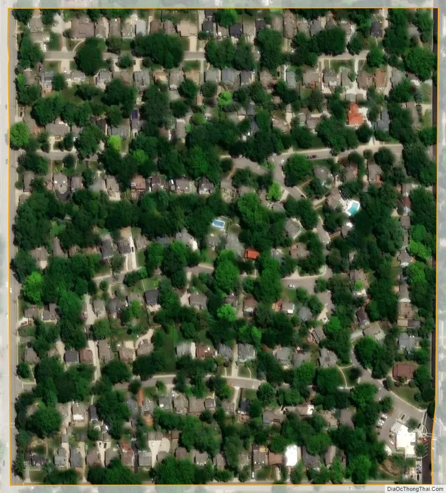
Westwood Hills city Satellite Map
Geography
Westwood Hills is located at 39°2′21″N 94°36′39″W / 39.03917°N 94.61083°W / 39.03917; -94.61083 (39.039055, -94.610808). According to the United States Census Bureau, the city has a total area of 0.07 square miles (0.18 km), all of it land.
See also
Map of Kansas State and its subdivision:- Allen
- Anderson
- Atchison
- Barber
- Barton
- Bourbon
- Brown
- Butler
- Chase
- Chautauqua
- Cherokee
- Cheyenne
- Clark
- Clay
- Cloud
- Coffey
- Comanche
- Cowley
- Crawford
- Decatur
- Dickinson
- Doniphan
- Douglas
- Edwards
- Elk
- Ellis
- Ellsworth
- Finney
- Ford
- Franklin
- Geary
- Gove
- Graham
- Grant
- Gray
- Greeley
- Greenwood
- Hamilton
- Harper
- Harvey
- Haskell
- Hodgeman
- Jackson
- Jefferson
- Jewell
- Johnson
- Kearny
- Kingman
- Kiowa
- Labette
- Lane
- Leavenworth
- Lincoln
- Linn
- Logan
- Lyon
- Marion
- Marshall
- McPherson
- Meade
- Miami
- Mitchell
- Montgomery
- Morris
- Morton
- Nemaha
- Neosho
- Ness
- Norton
- Osage
- Osborne
- Ottawa
- Pawnee
- Phillips
- Pottawatomie
- Pratt
- Rawlins
- Reno
- Republic
- Rice
- Riley
- Rooks
- Rush
- Russell
- Saline
- Scott
- Sedgwick
- Seward
- Shawnee
- Sheridan
- Sherman
- Smith
- Stafford
- Stanton
- Stevens
- Sumner
- Thomas
- Trego
- Wabaunsee
- Wallace
- Washington
- Wichita
- Wilson
- Woodson
- Wyandotte
- Alabama
- Alaska
- Arizona
- Arkansas
- California
- Colorado
- Connecticut
- Delaware
- District of Columbia
- Florida
- Georgia
- Hawaii
- Idaho
- Illinois
- Indiana
- Iowa
- Kansas
- Kentucky
- Louisiana
- Maine
- Maryland
- Massachusetts
- Michigan
- Minnesota
- Mississippi
- Missouri
- Montana
- Nebraska
- Nevada
- New Hampshire
- New Jersey
- New Mexico
- New York
- North Carolina
- North Dakota
- Ohio
- Oklahoma
- Oregon
- Pennsylvania
- Rhode Island
- South Carolina
- South Dakota
- Tennessee
- Texas
- Utah
- Vermont
- Virginia
- Washington
- West Virginia
- Wisconsin
- Wyoming