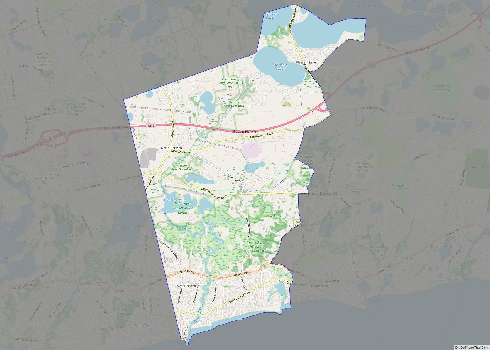
Northwest Harwich is a census-designated place (CDP) in the town of Harwich in Barnstable County, Massachusetts, United States. The population was 3,929 at the 2010 census. The CDP includes the Harwich villages of West Harwich, North Harwich, and Pleasant Lake, as well as a portion of the mailing area for Harwich Port. Northwest Harwich CDP ... Read more
Map of US Cities and Places
Ocean Bluff-Brant Rock is a census-designated place (CDP) in Plymouth County, Massachusetts, United States, composed of the neighborhoods of Ocean Bluff, Brant Rock, Fieldston, and Rexhame in the town of Marshfield. The population of the CDP was 4,970 at the 2010 census. Ocean Bluff-Brant Rock CDP overview: Name: Ocean Bluff-Brant Rock CDP LSAD Code: 57 ... Read more
Onset is a census-designated place (CDP) in the town of Wareham, Massachusetts, United States. The population was 1,573 at the 2010 census. Onset CDP overview: Name: Onset CDP LSAD Code: 57 LSAD Description: CDP (suffix) State: Massachusetts County: Plymouth County Elevation: 10 ft (3 m) Total Area: 1.29 sq mi (3.35 km²) Land Area: 1.08 sq mi (2.79 km²) Water Area: 0.22 sq mi (0.56 km²) ... Read more
Ocean Grove is a census-designated place (CDP) in the town of Swansea in Bristol County, Massachusetts, United States, on the north shore of Mount Hope Bay near the Cole River. The population was 2,811 at the 2010 census, and 2,904 as of the 2020 census. Ocean Grove CDP overview: Name: Ocean Grove CDP LSAD Code: ... Read more
Oxford is a census-designated place (CDP) in the town of Oxford in Worcester County, Massachusetts, United States. The population was 6,103 at the 2010 census. Oxford CDP overview: Name: Oxford CDP LSAD Code: 57 LSAD Description: CDP (suffix) State: Massachusetts County: Worcester County Elevation: 505 ft (154 m) Total Area: 3.69 sq mi (9.55 km²) Land Area: 3.46 sq mi (8.97 km²) Water ... Read more
Orleans is a census-designated place (CDP) in the town of Orleans in Barnstable County, Massachusetts, United States. The population was 1,621 at the 2010 census. Orleans CDP overview: Name: Orleans CDP LSAD Code: 57 LSAD Description: CDP (suffix) State: Massachusetts County: Barnstable County Elevation: 59 ft (18 m) Total Area: 2.47 sq mi (6.41 km²) Land Area: 2.32 sq mi (6.01 km²) Water ... Read more
Orange is a census-designated place (CDP) in the town of Orange in Franklin County, Massachusetts, United States. The population was 4,018 at the 2010 census. It is part of the Springfield, Massachusetts Metropolitan Statistical Area. Orange CDP overview: Name: Orange CDP LSAD Code: 57 LSAD Description: CDP (suffix) State: Massachusetts County: Franklin County Elevation: 525 ft ... Read more
Pepperell is a town in Middlesex County, Massachusetts, United States. The population was 11,604 at the 2020 census. It includes the village of East Pepperell. Pepperell is home to the Pepperell Center Historic District, a covered bridge, and the 1901 Lawrence Library. The library has a collection of Sidney M. Shattuck’s (1876–1917) stuffed birds. Pepperell ... Read more
United States portal Peabody (/ˈpiːbədi/) is a city in Essex County, Massachusetts, United States. The population was 54,481 at the time of the 2020 United States Census. Peabody is located in the North Shore region of Massachusetts, and is known for its rich industrial history. Peabody city overview: Name: Peabody city LSAD Code: 25 LSAD ... Read more
Palmer Town city overview: Name: Palmer Town city LSAD Code: 25 LSAD Description: city (suffix) State: Massachusetts County: Hampden County FIPS code: 2552144 Online Interactive Map Palmer Town online map. Source: Basemap layers from Google Map, Open Street Map (OSM), Arcgisonline, Wmflabs. Boundary Data from Database of Global Administrative Areas. Palmer Town location map. Where ... Read more
Pittsfield is the largest city and the county seat of Berkshire County, Massachusetts, United States. It is the principal city of the Pittsfield, Massachusetts Metropolitan Statistical Area which encompasses all of Berkshire County. Pittsfield’s population was 43,927 at the 2020 census. Although its population has declined in recent decades, Pittsfield remains the third-largest municipality in ... Read more
Pinehurst is an unincorporated village and census-designated place (CDP) in the town of Billerica, Middlesex County, Massachusetts, United States. The population was 7,152 at the 2010 census. It is located in the southeastern part of town along Massachusetts Route 3A between the Shawsheen River and the Burlington town line. Pinehurst’s zip code is 01866 and ... Read more