Pittsfield is the largest city and the county seat of Berkshire County, Massachusetts, United States. It is the principal city of the Pittsfield, Massachusetts Metropolitan Statistical Area which encompasses all of Berkshire County. Pittsfield’s population was 43,927 at the 2020 census. Although its population has declined in recent decades, Pittsfield remains the third-largest municipality in Western Massachusetts, behind only Springfield and Chicopee.
In 2017, the Arts Vibrancy Index compiled by the National Center for Arts Research ranked Pittsfield and Berkshire County as the number-one medium-sized community in the nation for the arts.
| Name: | Pittsfield city |
|---|---|
| LSAD Code: | 25 |
| LSAD Description: | city (suffix) |
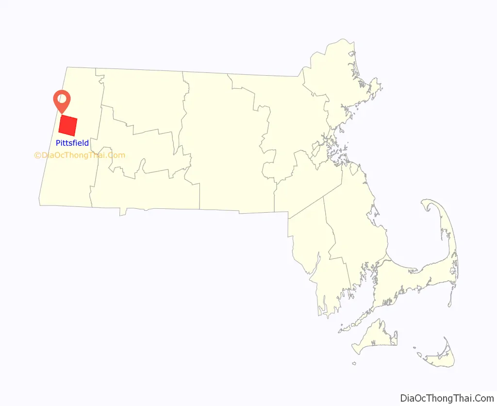
| State: | Massachusetts |
| County: | Berkshire County |
| Elevation: | 1,039 ft (317 m) |
| Total Area: | 42.46 sq mi (109.98 km²) |
| Land Area: | 40.47 sq mi (104.81 km²) |
| Water Area: | 1.99 sq mi (5.17 km²) |
| Total Population: | 43,927 |
| Population Density: | 1,085.47/sq mi (419.10/km²) |
| ZIP code: | 01201 |
| Area code: | 413 |
| FIPS code: | 2553960 |
| GNISfeature ID: | 0607643 |
| Website: | cityofpittsfield.org |
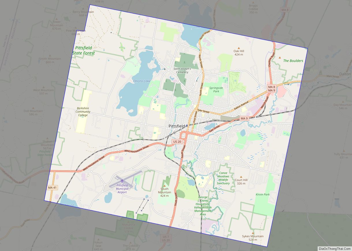
Online Interactive Map
Click on ![]() to view map in "full screen" mode.
to view map in "full screen" mode.
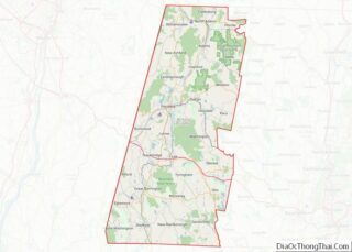
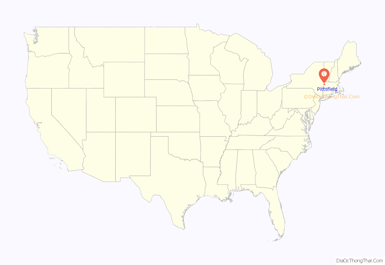
Pittsfield location map. Where is Pittsfield city?
History
The Mohicans, an Algonquian people, inhabited Pittsfield and the surrounding area until the early 1700s, when the population was greatly reduced by war and disease, and many migrated westward or lived quietly on the fringes of society.
In 1738, a wealthy Bostonian named Col. Jacob Wendell bought 24,000 acres (97 km) of land known originally as “Pontoosuck”, from a Mohican word meaning “a field or haven for winter deer”, as a speculative investment. He planned to subdivide and resell to others who would settle there. He formed a partnership with Philip Livingston, a wealthy kinsman from Albany, New York, and Col. John Stoddard of Northampton, who had claim to 1,000 acres (4.0 km) here.
A group of young men came and began to clear the land in 1743, but the threat of Indian raids around the time of King George’s War soon forced them to leave, and the land remained unoccupied by Englishmen for several more years.
Soon, many others arrived from Westfield, Massachusetts, and a village began to grow, which was incorporated as Pontoosuck Plantation in 1753 by Solomon Deming, Simeon Crofoot, Stephen Crofoot, Charles Goodrich, Jacob Ensign, Samuel Taylor, and Elias Woodward. Mrs. Deming was the first and the last of the original settlers, dying in March 1818 at the age of 92. Solomon Deming died in 1815 at the age of 96.
Pittsfield was incorporated in 1761. Royal Governor Sir Francis Bernard named Pittsfield after British nobleman and politician William Pitt. By 1761 there were 200 residents and the plantation became the Township of Pittsfield.
By the end of the Revolutionary War, Pittsfield had grown to nearly 2,000 residents, including Colonel John Brown, who in 1776 began accusing Benedict Arnold of being a traitor, several years before Arnold defected to the British. Brown wrote in his winter 1776-77 handbill, “Money is this man’s God, and to get enough of it he would sacrifice his country.”
Pittsfield was primarily an agricultural area because of the many brooks that flowed into the Housatonic River; the landscape was dotted with mills that produced lumber, grist, paper, and textiles. With the introduction of Merino sheep from Spain in 1807, the area became the center of woolen manufacturing in the United States, an industry that would dominate the community’s economy for almost a century.
The town was a bustling metropolis by the late 19th century. In 1891, the City of Pittsfield was incorporated and William Stanley Jr., who had recently relocated his Electric Manufacturing Company to Pittsfield from Great Barrington, produced the first electric transformer. Stanley’s enterprise was the forerunner of the internationally known corporate giant, General Electric (GE). Thanks to the success of GE, Pittsfield’s population in 1930 had grown to more than 50,000. While GE Advanced Materials (now owned by SABIC-Innovative Plastics, a subsidiary of the Riyadh-based Saudi Basic Industries Corporation) continues to be one of the city’s largest employers, a workforce that once topped 13,000 was reduced to less than 700 with the demise and/or relocation of General Electric’s transformer and aerospace portions. On October 8, 2015, SABIC announced it would relocate its headquarters from Pittsfield to Houston, Texas.
General Dynamics occupies many of the old GE buildings and its workforce is expanding. Much of General Dynamics’ local success is based on the awarding of government contracts related to its advanced information systems. In September 2018, Massachusetts Governor Charlie Baker, Massachusetts Lieutenant Governor Karyn Polito, and other Baker administration officials attended the groundbreaking of a $13.7 million project to build a life sciences and advanced manufacturing center in the city.
1902 presidential incident
On September 3, 1902, at 10:15 am, during a two-week tour through New England campaigning for Republican congressmen, the barouche transporting President Theodore Roosevelt from downtown Pittsfield to the Pittsfield Country Club collided head-on with a trolley. Roosevelt, Massachusetts Governor Winthrop Murray Crane, secretary to the president George Bruce Cortelyou, and bodyguard William Craig were thrown into the street. Craig was killed; he was the first Secret Service agent killed while on a presidential protection detail. Roosevelt, whose face and left shin were badly bruised, nearly came to blows with the trolley motorman, Euclid Madden. Madden was later charged with manslaughter, to which he pleaded guilty. He was sentenced to six months in jail and a heavy fine.
Baseball in Pittsfield
In 2004, historian John Thorn discovered a reference to a 1791 by-law prohibiting anyone from playing “baseball” within 80 yards (73 m) of the new meeting house in Pittsfield. A reference librarian, AnnMarie Harris, found the actual by-law in the Berkshire Athenaeum library and its age was verified by researchers at the Williamstown Art Conservation Center. If authentic and if actually referring to a recognizable version of the modern game, the 1791 document, would be, as of 2004, the earliest known reference to the game in America. (See Origins of baseball.) The document is available on the Pittsfield Library’s web site.
A finding that baseball was invented in 1839 by Abner Doubleday in Cooperstown, New York, provided the rationale for baseball centennial celebrations in 1939 including the opening of a National Baseball Hall of Fame and Museum in that city. Few historians ever believed it and even the Hall’s vice president, Jeff Idelson, has stated that “Baseball wasn’t really born anywhere.”
In 1859, the first intercollegiate baseball game was played in Pittsfield. Amherst defeated Williams College, 73–32.
Ulysses Frank Grant, born August 1, 1865, in Pittsfield (died May 27, 1937), was an African American baseball player in the 19th century who played in the International League and for various independent teams.
Professional baseball was played in Pittsfield’s Wahconah Park from 1894 through 2003. Teams included the early Pittsfield Colts and Pittsfield Hillies, the Pittsfield Electrics of the 1940s, the Pittsfield Red Sox from 1965 to 1969 with such then A-league players and future major leaguers as George Scott, Carlton Fisk, and Reggie Smith, the Pittsfield Senators (later Rangers) of the 1970s, and the 1985–1988 AA Pittsfield Cubs featuring future stars Mark Grace and Rafael Palmeiro. From 1989 to 2001, the Pittsfield Mets and Pittsfield Astros (2001 only) represented the city in the New York–Penn League. The Astros have since moved to Troy, New York, and are now known as the Tri-City ValleyCats.
In 2005, Wahconah Park became the home stadium of the Pittsfield Dukes, a summer collegiate baseball franchise of the New England Collegiate Baseball League owned by Dan Duquette, former Boston Red Sox general manager. The Dukes had played the 2004 season in Hinsdale, Massachusetts, as the Berkshire Dukes. In 2009, the franchise changed its name to the Pittsfield American Defenders. The American Defenders’ name refers to both the United States military and a line of baseball gloves produced by Nocona Athletic Goods Company. Duquette’s ownership group also owned the American Defenders of New Hampshire, members of the independent Can-Am League.
Since 2012, Wahconah Park has been the home of the Pittsfield Suns of the Futures Collegiate Baseball League.
Mark Belanger, eight-time Gold Glove winning shortstop for the Baltimore Orioles, Turk Wendell, relief pitcher for the New York Mets, and Tom Grieve, outfielder for the Texas Rangers, were all from Pittsfield.
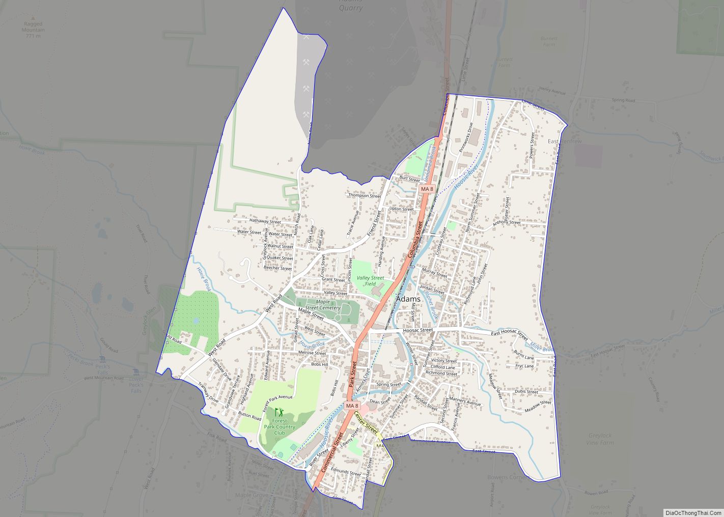
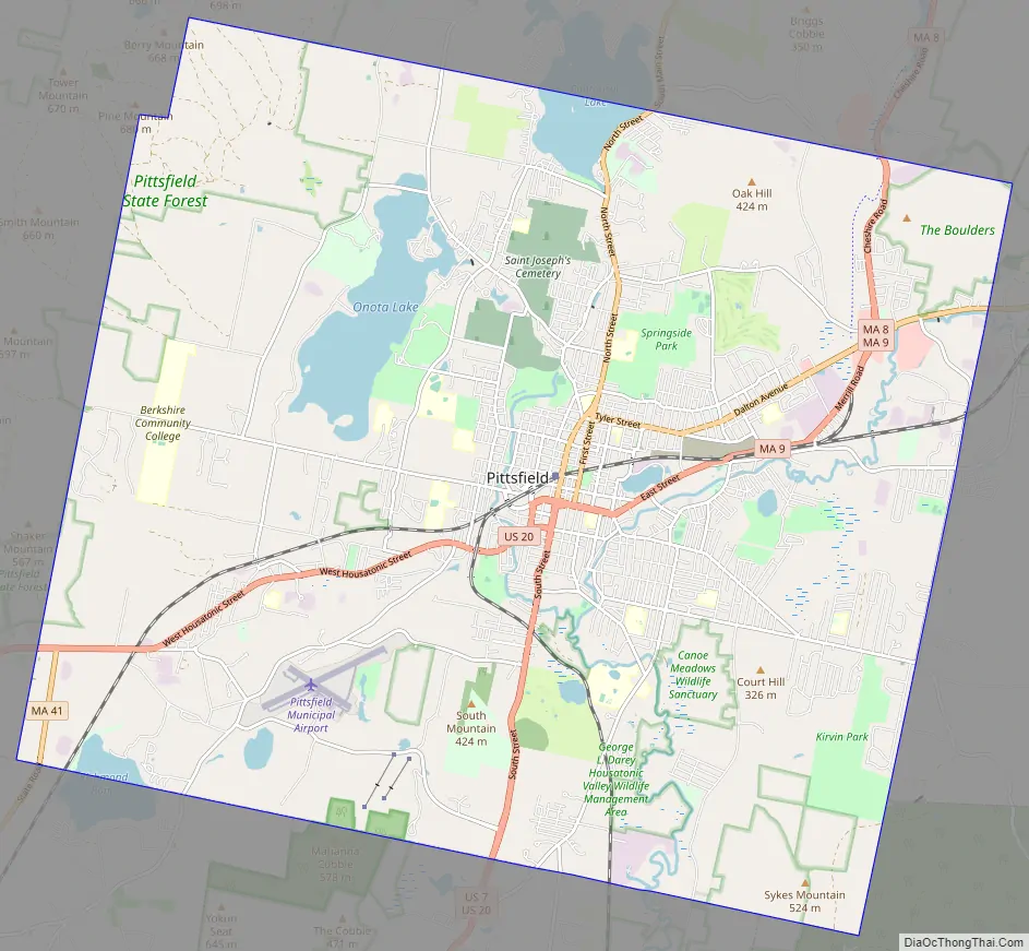
Pittsfield Road Map
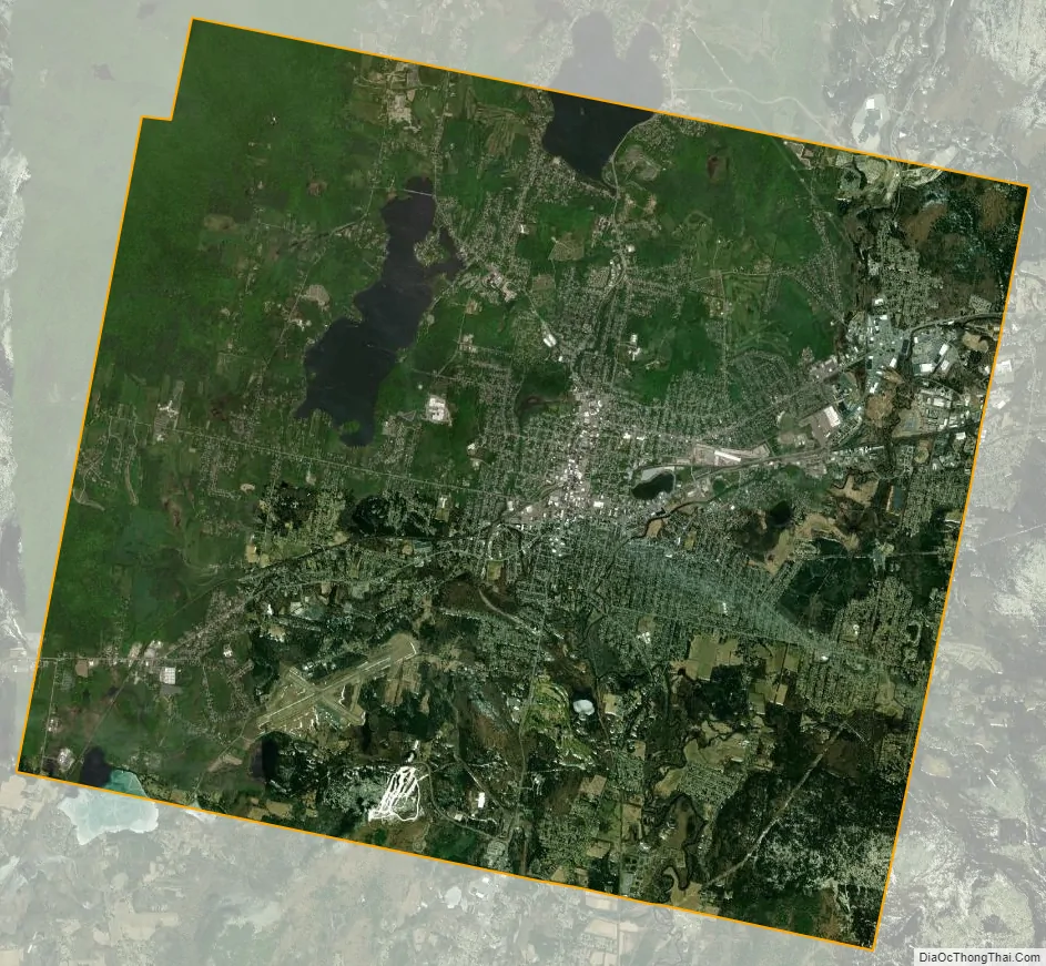
Pittsfield city Satellite Map
Geography
Pittsfield is at 42°27′N 73°15′W / 42.450°N 73.250°W / 42.450; -73.250 (42.4522, −73.2515).
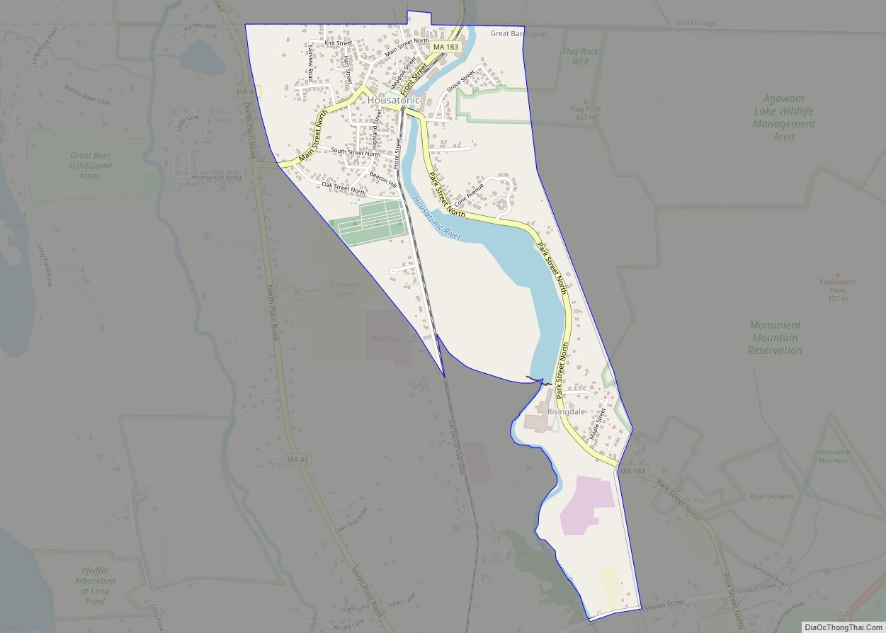
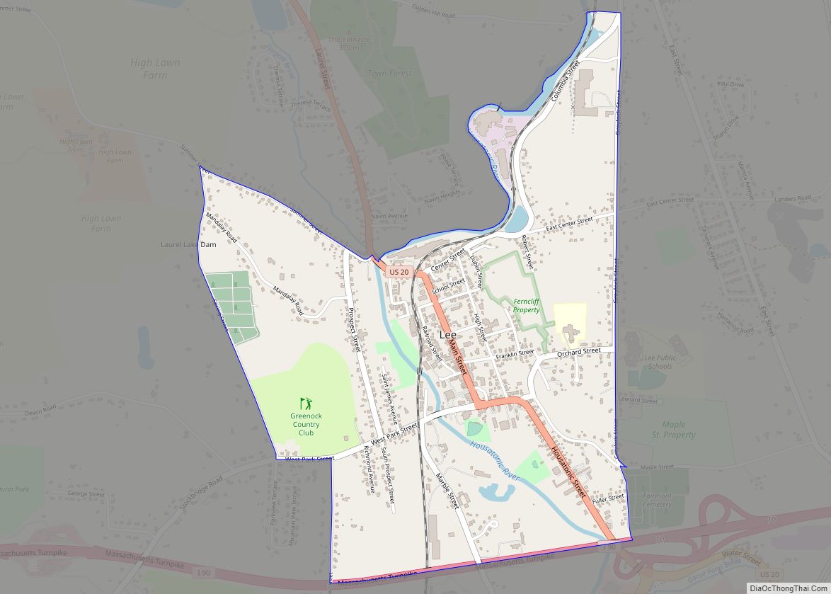
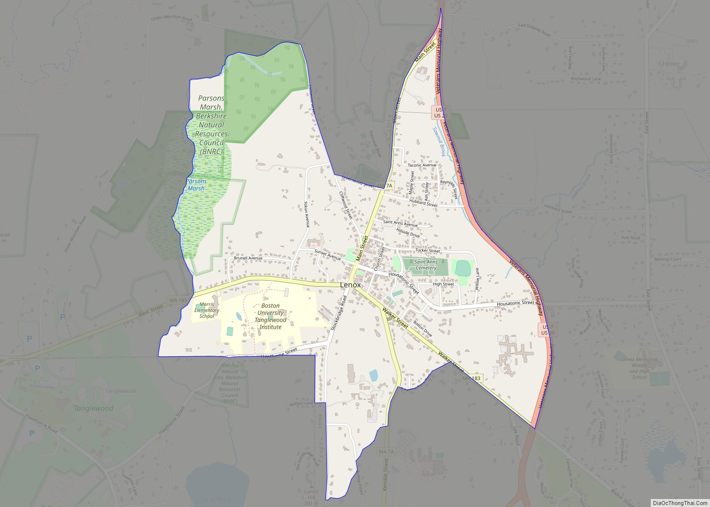
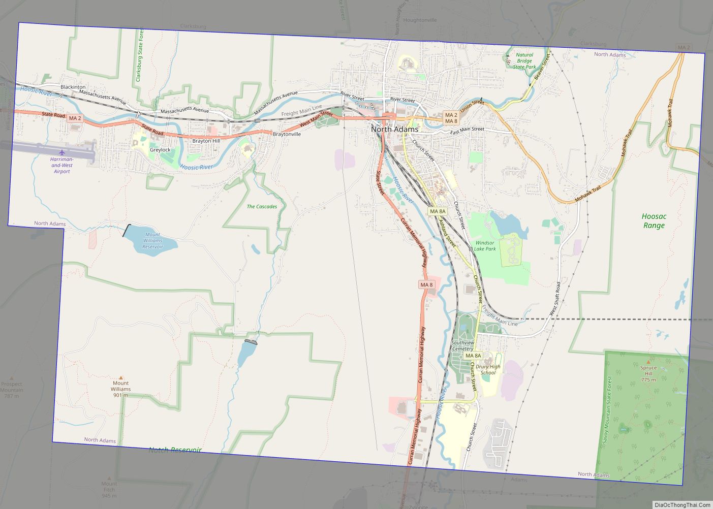
According to the United States Census Bureau, the city has an area of 42.5 square miles (110.0 km), of which 2.0 square miles (5.2 km), or 4.70%, are covered by water. Pittsfield is bordered by Lanesborough to the north, Dalton to the east, Washington to the southeast, Lenox to the south, Richmond to the southwest, and Hancock to the west. Pittsfield is 48 miles (77 km) northwest of Springfield, 99 miles (159 km) west of Worcester, 135 miles (217 km) west of Boston, and 39 miles (63 km) east of Albany, New York.
Most of the population occupies roughly one-quarter of the city’s land. Pittsfield lies at the confluence of the east and west branches of the Housatonic River, which flows south from the city towards its mouth at Long Island Sound, some 149 miles (240 km) distant. The eastern branch leads down from the hills, while the western branch is fed from Onota Lake and Pontoosuc Lake (which lies partly in Lanesborough). Like much of western Berkshire County, the city lies between the Berkshire Hills to the east and the Taconic Range to the west. Sections of the Housatonic Valley Wildlife Management Area dot the banks of the river. The western portion of the city contains Pittsfield State Forest, an 11,000-acre (4,500 ha) facility with hiking and cross-country skiing trails, camping, picnic areas, and a beach for swimming.
Pittsfield is at the crossroads of U.S. Route 7 and U.S. Route 20, which join together in the city. Massachusetts Route 8 passes through the northeast corner of town, with a portion of it combined with Route 9, the central east-west road through the western part of the state, whose western terminus is in the city at Route 20. Route 41 begins in the southwest corner of town, heading south from Route 20. The nearest interstate highway, Interstate 90 (the Massachusetts Turnpike) is about 10 miles (16 km) south in Lee.
Long-distance ground transportation in Pittsfield is based at the Joseph Scelsi Intermodal Transportation Center, which serves as the station for Amtrak trains and Peter Pan buses. The Berkshire Regional Transit Authority, the transit provider for Pittsfield and vicinity, is based at the Intermodal Center and also uses it as a hub for most of its lines. Rail freight transportation is provided by CSX Transportation and the Housatonic Railroad.
The fixed-base operator at Pittsfield Municipal Airport offers access to the region via private and chartered aircraft ranging from single-engined piston to multiple-engined jet planes. They also offer scenic rides and flight training. The nearest airport with national service is Albany International Airport.
Climate
Pittsfield has a humid continental climate (Dfb). Winters are harsh due the city’s high elevation at 1,039 ft (317 m), with an average annual snowfall of 75.9 inches (1,930 mm) and temperatures dipping to 0 °F (−18 °C) or colder 13 times per year. Summers, however, are typically warm and pleasant, with temperatures reaching 90 °F (32 °C) just six times per year. The record high and record low are 101 °F (38 °C) and −26 °F (−32 °C), recorded on July 23, 1926, and February 15, 1943, respectively. Over the course of a year, 173 days have measurable precipitation.
Housatonic River
Flowing through a historically rural area, the Housatonic River attracted increased industrialization in the late 19th century. William Stanley, Jr., founded the Stanley Electric Manufacturing Company in 1890 at Pittsfield. The company manufactured small transformers, electrical motors and appliances. In 1903, GE acquired Stanley Electric and subsequently operated three major manufacturing operations in Pittsfield: transformer, ordnance, and plastics.
During the mid-20th century, the Housatonic River and its floodplain were contaminated with polychlorinated biphenyls (PCBs) and other hazardous substances released from the General Electric Company (GE) facility in Pittsfield. The contaminated area, known as the General Electric/Housatonic River Site, includes the GE manufacturing facility; the Housatonic River, its riverbanks and floodplains from Pittsfield to Long Island Sound, and former river oxbows that have since been filled in; Allendale School; Silver Lake; and other areas contaminated as a result of GE’s operations in Pittsfield.
The highest concentrations of PCBs in the Housatonic River are found from the site of the GE plant in Pittsfield to Woods Pond in Lenox, Massachusetts, where they have been measured up to 140 mg/kg (140 ppm). About 50% of all the PCBs in the river is estimated to be retained in the sediment behind Woods Pond dam. This is estimated to be about 11,000 pounds of PCBs. Birds and fish that live in and around the river contain significant levels of PCBs.
Starting in 1991, legal proceedings by the U.S. Environmental Protection Agency (EPA) established the General Electric/Housatonic River Site. Initial cleanup work began in 1996 when EPA issued a unilateral order to GE that required the removal of highly contaminated sediments and bank soils. EPA added the site to the Superfund list in September 1997.
The year 1999 was a milestone for Pittsfield, when negotiations between EPA, the state, General Electric and the City resulted in a settlement agreement, valued at over $250 million, to clean up Pittsfield and the Housatonic River. The settlement was memorialized in a consent decree entered in federal court the following year, making it a binding legal agreement.
Cleanup of the polluted downstream river areas has not been completed as of 2020. In February 2020 EPA announced a settlement agreement involving GE, EPA and most of the concerned parties, to remove contaminated sediment from the areas south of Pittsfield. Highly contaminated soil would be removed and shipped to federally-approved facilities outside the state, while less-contaminated soil would be placed in a new specially-designed landfill in Berkshire County. EPA’s plan is subject to public comment and is expected to be finalized later in 2020.
In the years since the settlement was reached, the EPA, state agencies, the City and GE accomplished one of the largest and most complex cleanups in the country. Cleanup work on the first previously PCB-laden half mile of the Housatonic River, adjacent to the GE facility, was completed in September 2002. $90 million was spent cleaning up the 1.5-mile (2.4 km) reach between Lyman Street and Fred Garner Park, which was completed in June 2007. Biological and sediment samples showed reductions of approximately 99% of PCB concentrations compared to conditions before remediation. GE removed contaminated soil and restored 27 residential properties abutting the river. As of 2006 more than 115,000 cubic yards (88,000 m) of PCB-contaminated sediment, bank, and floodplain soil have been removed from the river and residential property. As of 2019 GE has completed remediation and restoration of the 10 manufacturing plant areas within the city, and is conducting inspection, monitoring and maintenance activities.
See also
Map of Massachusetts State and its subdivision: Map of other states:- Alabama
- Alaska
- Arizona
- Arkansas
- California
- Colorado
- Connecticut
- Delaware
- District of Columbia
- Florida
- Georgia
- Hawaii
- Idaho
- Illinois
- Indiana
- Iowa
- Kansas
- Kentucky
- Louisiana
- Maine
- Maryland
- Massachusetts
- Michigan
- Minnesota
- Mississippi
- Missouri
- Montana
- Nebraska
- Nevada
- New Hampshire
- New Jersey
- New Mexico
- New York
- North Carolina
- North Dakota
- Ohio
- Oklahoma
- Oregon
- Pennsylvania
- Rhode Island
- South Carolina
- South Dakota
- Tennessee
- Texas
- Utah
- Vermont
- Virginia
- Washington
- West Virginia
- Wisconsin
- Wyoming