Pepperell is a town in Middlesex County, Massachusetts, United States. The population was 11,604 at the 2020 census. It includes the village of East Pepperell. Pepperell is home to the Pepperell Center Historic District, a covered bridge, and the 1901 Lawrence Library. The library has a collection of Sidney M. Shattuck’s (1876–1917) stuffed birds.
| Name: | Pepperell CDP |
|---|---|
| LSAD Code: | 57 |
| LSAD Description: | CDP (suffix) |
| State: | Massachusetts |
| County: | Middlesex County |
| Incorporated: | 1775 |
| Elevation: | 244 ft (74 m) |
| Total Area: | 23.2 sq mi (60.0 km²) |
| Land Area: | 22.6 sq mi (58.4 km²) |
| Water Area: | 0.6 sq mi (1.6 km²) |
| Total Population: | 11,604 |
| Population Density: | 500/sq mi (190/km²) |
| ZIP code: | 01463 |
| Area code: | 351 / 978 |
| FIPS code: | 2552770 |
| GNISfeature ID: | 0618231 |
| Website: | town.pepperell.ma.us |
Online Interactive Map
Click on ![]() to view map in "full screen" mode.
to view map in "full screen" mode.
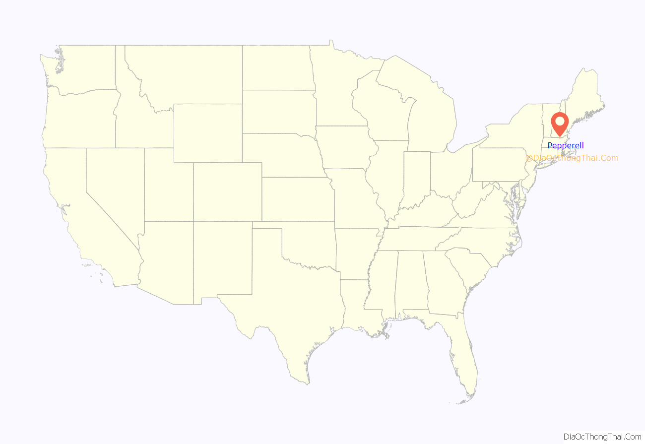
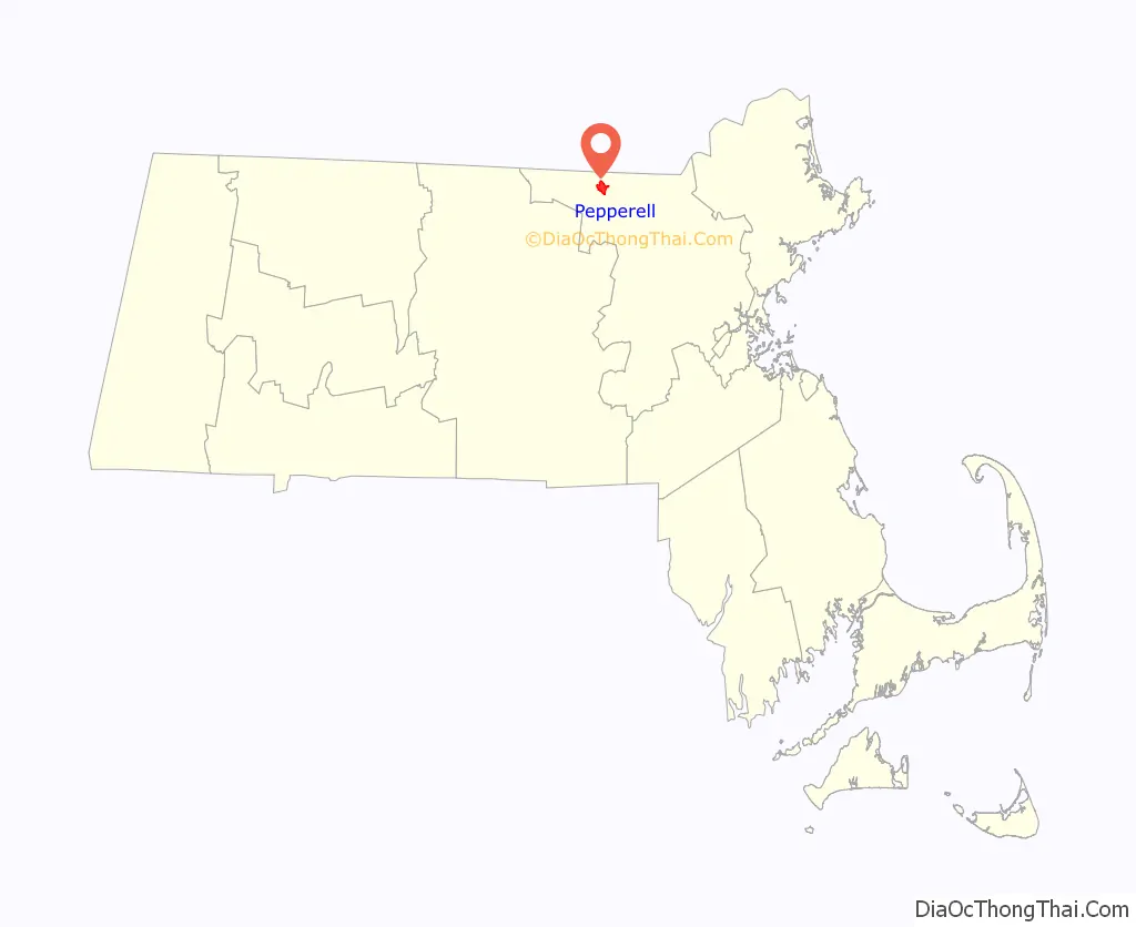
Pepperell location map. Where is Pepperell CDP?
History
Pepperell was first settled in 1720 as a part of Groton, and was officially incorporated as its own town in 1775. The founders named it after Sir William Pepperrell, a Massachusetts colonial soldier who led the Siege of Louisbourg during King George’s War. The town was noted for its good soil and orchards.
Since its formation, the town was active in the American independence movement. Being located northwest of Concord, Pepperell never saw British attack during the American Revolutionary War, though several Pepperell men fought at the Old North Bridge during the Battle of Concord, and a British spy was captured by women on guard at the site of the Pepperell covered bridge (see Prudence Wright). Town resident William Prescott served as the commander at the Battle of Bunker Hill in what is now the Charlestown neighborhood of Boston.
By 1837, when the population was 1,586, Pepperell had three paper mills, one of which was managed by Warren F. Daniell. It also produced palm leaf hats, boots and shoes.
In 1848, the Worcester & Nashua Railroad was built through East Pepperell along the Nashua River as part of a through route from Worcester to Portland. In 1886 the line became part of the Boston & Maine Railroad, who continued to operate trains to Worcester and Nashua, as well as connections to Portland, Maine and beyond.
Pepperell was also a station on the Boston & Maine’s Milford Branch between Squannacook Junction and Milford, New Hampshire. In 1938 the Milford Branch was abandoned from Pepperell to South Milford. Trains continued to operate as far as Pepperell until 1941 when the tracks to Squannacook Junction were also abandoned, leaving Pepperell’s paper mill without direct rail service. To correct this, a trestle bridge and rail connection was constructed from the B&M’s WN&P line over the Nashua River so that freights could still service the mill.
1941 also saw the abandonment of the WN&P line between Hollis, New Hampshire and Nashua; as a result, the railroad renamed the remaining segment from Ayer, Massachusetts through East Pepperell the “Hollis Branch”. Freight service, primarily to the mill, was provided by the B&M with a local freight out of Ayer until 1981. The Hollis Branch was abandoned in 1982 primarily due to poor track conditions, and the tracks themselves were pulled up in 1984.
In 2001, what had been the railroad corridor was paved over to become part of the Nashua River Rail Trail.
The Pepperell town library, the Lawrence Library, was designed by architects Ernest Flagg and Walter B. Chambers, and built in 1901. On June 29, 2009 the people of Pepperell voted “yes” on a Proposition 2½ override, effectively saving operations of the Lawrence Library, Senior Center, and Community Center. The override helped fill a $1.3 million budget shortfall for fiscal year 2010.
One of only three covered bridges on public Massachusetts roads that is open to vehicular traffic (and the only one east of the Connecticut River) is located on Groton Street in Pepperell. The current bridge officially opened on July 30, 2010, replacing the aging Chester H. Waterous Bridge which was closed to vehicles on April 7, 2008 and demolished beginning July 30, 2008. It took two years to construct the new covered bridge.
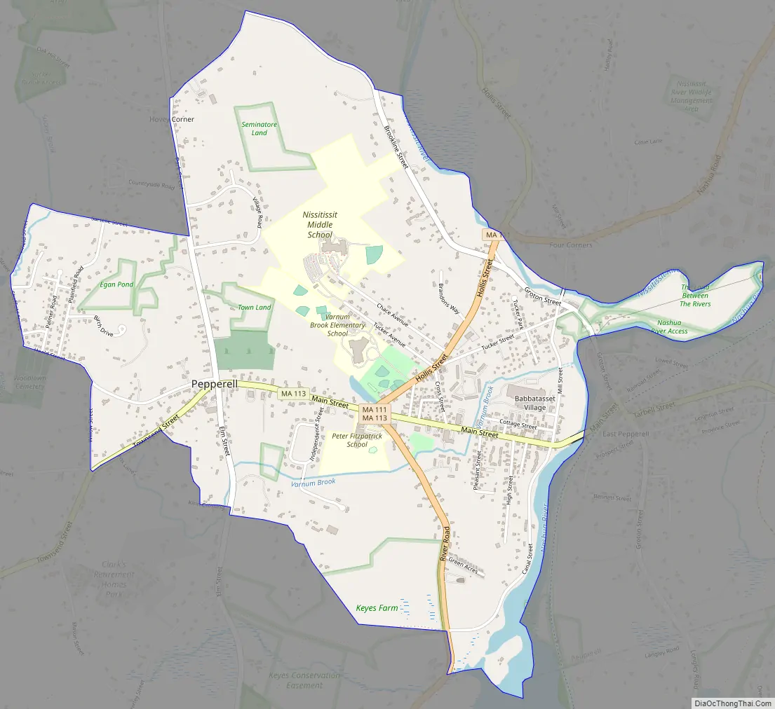
Pepperell Road Map
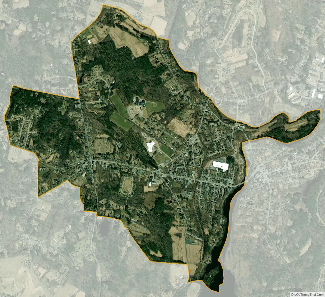
Pepperell city Satellite Map
Geography
According to the United States Census Bureau, the town has a total area of 23.2 square miles (60.0 km), of which 22.6 square miles (58.4 km) is land and 0.6 square miles (1.6 km) (2.63%) is water. Pepperell is located at the confluence of the Nissitissit River with the Nashua River. According to the Pepperell Reader, the town is situated on a long extinct volcano that helped shape much of New England’s geology.
Pepperell borders Brookline and Hollis, New Hampshire to the north, Dunstable to the east, Groton to the south, Townsend to the west, and Nashua, New Hampshire to the northeast via the Nashua River.
Pepperell is served by state routes 111, 113 and 119.
See also
Map of Massachusetts State and its subdivision: Map of other states:- Alabama
- Alaska
- Arizona
- Arkansas
- California
- Colorado
- Connecticut
- Delaware
- District of Columbia
- Florida
- Georgia
- Hawaii
- Idaho
- Illinois
- Indiana
- Iowa
- Kansas
- Kentucky
- Louisiana
- Maine
- Maryland
- Massachusetts
- Michigan
- Minnesota
- Mississippi
- Missouri
- Montana
- Nebraska
- Nevada
- New Hampshire
- New Jersey
- New Mexico
- New York
- North Carolina
- North Dakota
- Ohio
- Oklahoma
- Oregon
- Pennsylvania
- Rhode Island
- South Carolina
- South Dakota
- Tennessee
- Texas
- Utah
- Vermont
- Virginia
- Washington
- West Virginia
- Wisconsin
- Wyoming


