Map of Richmond CDP, Maine
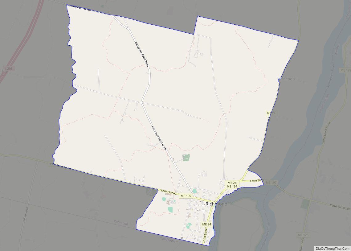
Richmond is a census-designated place (CDP) in the town of Richmond in Sagadahoc County, Maine. The population was 1,864 at the 2000 census. It is part of the Portland–South Portland–Biddeford, Maine Metropolitan Statistical Area. Richmond CDP overview: Name: Richmond CDP LSAD Code: 57 LSAD Description: CDP (suffix) State: Maine County: Sagadahoc County Elevation: 37 ft (121 m) ... Read more
Map of Richmond CDP, Maine
Map of Skowhegan CDP
Skowhegan is a census-designated place (CDP) in the town of Skowhegan in Somerset County, Maine, in the United States. The population was 6,696 at the 2000 census. Skowhegan CDP overview: Name: Skowhegan CDP LSAD Code: 57 LSAD Description: CDP (suffix) State: Maine County: Somerset County Elevation: 171 ft (52 m) Total Area: 14.09 sq mi (36.49 km²) Land Area: 13.37 sq mi ... Read more
Map of Skowhegan CDP
Map of Searsport CDP
Searsport is a census-designated place (CDP) in the town of Searsport in Waldo County, Maine, United States. The population was 1,102 at the 2000 census. Searsport CDP overview: Name: Searsport CDP LSAD Code: 57 LSAD Description: CDP (suffix) State: Maine County: Waldo County Elevation: 46 ft (14 m) Total Area: 5.34 sq mi (13.83 km²) Land Area: 4.35 sq mi (11.27 km²) Water ... Read more
Map of Searsport CDP
Map of Scarborough CDP
Oak Hill is a census-designated place (CDP) in the town of Scarborough in Cumberland County, Maine, United States. Prior to the 2020 census, the CDP was known as Scarborough. The population was 4,403 at the 2010 census. It is part of the Portland–South Portland–Biddeford, Maine Metropolitan Statistical Area. Scarborough CDP overview: Name: Scarborough CDP LSAD ... Read more
Map of Scarborough CDP
Map of Sanford city, Maine
Sanford is a city in York County, Maine, United States. The population was 21,982 in the 2020 census, making it the seventh largest municipality in the state. Situated on the Mousam River, Sanford includes the village of Springvale. The city features many lakes in wooded areas which attract campers. Sanford is part of the Portland–South ... Read more
Map of Sanford city, Maine
Map of Saco city, Maine
Saco /ˈsɑːkoʊ/ is a city in York County, Maine, United States. The population was 20,381 at the 2020 census. It is home to Ferry Beach State Park, Funtown Splashtown USA, Thornton Academy, as well as General Dynamics Armament Systems (also known by its former name, Saco Defense), a subsidiary of the defense contractor General Dynamics. ... Read more
Map of Saco city, Maine
Map of Standish CDP, Maine
Standish, known locally as Standish Corner, is a census-designated place (CDP) in the town of Standish in Cumberland County, Maine, United States. The population was 469 at the 2010 census. It is part of the Portland–South Portland–Biddeford, Maine Metropolitan Statistical Area. Standish CDP overview: Name: Standish CDP LSAD Code: 57 LSAD Description: CDP (suffix) State: ... Read more
Map of Standish CDP, Maine
Map of Southwest Harbor CDP
Southwest Harbor is a census-designated place (CDP) in the town of Southwest Harbor in Hancock County, Maine, United States. The CDP population was 720 at the 2010 census, out of 1,764 people in the town as a whole. Southwest Harbor CDP overview: Name: Southwest Harbor CDP LSAD Code: 57 LSAD Description: CDP (suffix) State: Maine ... Read more
Map of Southwest Harbor CDP
Map of South Windham CDP, Maine
South Windham is a census-designated place (CDP) in the town of Windham in Cumberland County, Maine, United States. The population of the CDP was 1,374 at the 2010 census. Prior to 2010, South Windham was part of the Little Falls-South Windham census-designated place. It is part of the Portland–South Portland–Biddeford, Maine Metropolitan Statistical Area. South ... Read more
Map of South Windham CDP, Maine
Map of South Paris CDP
South Paris is a census-designated place (CDP) located within the town of Paris in Oxford County, Maine, in the United States. The population was 2,237 at the 2000 census. While the CDP refers only to the densely settled area in the southern part of the town of Paris, the entire town, outside of Paris Hill, ... Read more
Map of South Paris CDP
Map of South Eliot CDP
South Eliot is a census-designated place (CDP) in the town of Eliot in York County, Maine, United States. The population was 3,550 at the 2010 census. It is part of the Portland–South Portland–Biddeford, Maine Metropolitan Statistical Area. South Eliot CDP overview: Name: South Eliot CDP LSAD Code: 57 LSAD Description: CDP (suffix) State: Maine County: ... Read more
Map of South Eliot CDP
Map of Van Buren CDP, Maine
Van Buren is a census-designated place (CDP) comprising the main village within the town of Van Buren in Aroostook County, Maine, United States. The population of the CDP was 1,937 at the 2010 census, out of a population of 2,171 for the entire town. Van Buren CDP overview: Name: Van Buren CDP LSAD Code: 57 ... Read more
Map of Van Buren CDP, Maine