Sanford is a city in York County, Maine, United States. The population was 21,982 in the 2020 census, making it the seventh largest municipality in the state. Situated on the Mousam River, Sanford includes the village of Springvale. The city features many lakes in wooded areas which attract campers.
Sanford is part of the Portland–South Portland–Biddeford, Maine metropolitan statistical area.
On November 6, 2012, Sanford voters approved a new charter to re-incorporate Sanford as a city and replace the town meeting format with a city council/mayor/strong manager form of government, along with other changes. The new charter took effect on January 1, 2013. Sanford’s new charter provides that the first mayor would be appointed from the ranks of Sanford’s seven city councilors and serve interim for one-year period. On January 8, 2013, Maura A. Herlihy was appointed as Sanford’s first mayor.
In 2014, an elected-at-large mayor took office. On November 5, 2013, Thomas Cote was elected as mayor. Beginning in 2016, the mayoral position began being elected at-large every two years during legislative election cycles.
| Name: | Sanford city |
|---|---|
| LSAD Code: | 25 |
| LSAD Description: | city (suffix) |
| State: | Maine |
| County: | York County |
| Incorporated: | Town: February 27, 1768 City: January 1, 2013 |
| Elevation: | 262 ft (80 m) |
| Total Area: | 48.75 sq mi (126.27 km²) |
| Land Area: | 47.79 sq mi (123.78 km²) |
| Water Area: | 0.96 sq mi (2.50 km²) |
| Total Population: | 21,982 |
| Population Density: | 459.97/sq mi (177.59/km²) |
| Area code: | 207 |
| FIPS code: | 2365725 |
| GNISfeature ID: | 0582712 |
| Website: | www.sanfordmaine.org |
Online Interactive Map
Click on ![]() to view map in "full screen" mode.
to view map in "full screen" mode.
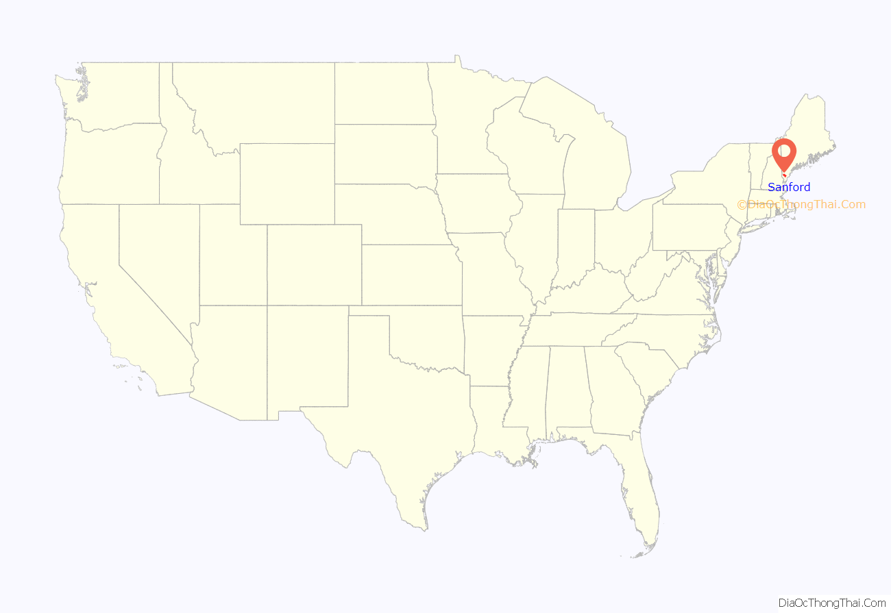
Sanford location map. Where is Sanford city?

History
Sanford is in the western portion of a tract of land purchased in 1661 from Abenaki Chief Fluellin by Major William Phillips, an owner of mills in Saco. First called Phillipstown, it was willed in 1696 by Mrs. Phillips to her former husband’s son, Peleg Sanford. Settlement was delayed, however, by hostilities during the French and Indian Wars. In 1724, Norridgewock, an Abenaki stronghold on the Kennebec River, was destroyed by a Massachusetts militia. Subsequently, the region became less dangerous for white settlers, and Sanford was first settled in 1739. Incorporated a town in 1768, it was named after Peleg Sanford. Until 1794, Alfred was the town’s North Parish.
The Mousam River provided water power for industry. In 1745, Capt. Market Morrison built a sawmill above Springvale. Following the Civil War, Sanford developed into a textile manufacturing center, connected to markets by the Portland and Rochester Railroad. Factories were built at both Springvale and Sanford villages. Products included cotton and woolen goods, carpets, shoes and lumber.
In 1867, British-born Thomas Goodall established the Goodall Mills at Sanford, after selling another mill in 1865 at Troy, New Hampshire which made woolen blankets contoured to fit horses. His factory beside the Mousam River first manufactured carriage robes and blankets. It would expand to make mohair plush for upholstering railroad seats, carpets, draperies, auto fabrics, military uniform fabric and Palm Beach fabric for summer suits.
The company’s textiles were known for brilliant and fast colors and found buyers worldwide. From 1880 to 1910, the mill town’s population swelled from 2,700 to over 9,000, some living in houses built by the company and sold to workers at cost. In 1914, the Goodall family built Goodall Park, a 784-seat roofed stadium, now a treasured historic site. They also helped build the library, town hall, hospital, airport, and golf club. A bronze statue was erected by the citizens of Sanford in 1917 to the memory of Thomas Goodall. His effigy has a place of honor in Central Park. George and Henrietta Goodall’s daughter, Marion C. Goodall Marland, and her husband William Marland continued the Goodall family philanthropy. A dormitory at Nasson College bears the Marland’s name.
In 1954, Burlington Mills, then the nation’s largest textile firm, bought Sanford Mills. After moving the looms to its Southern plants, Burlington closed Sanford Mills—leaving 3,600 unemployed and 2,000,000 square feet (190,000 m) of empty mills. Local business owners began traveling the northeast, enticing employers to move to the area. In November 1955, NBC’s Armstrong Circle Theatre dramatized Sanford’s comeback on television in “The Town that Refused to Die”, starring Darren McGavin and Jason Robards. The story was later featured in LIFE magazine’s feature on “Community Boosters” on August 5, 1957. It now has diversified industries, including manufacturing and biotech. When the federal government offered money in the 1960s for urban renewal to rehabilitate aging or blighted districts, more than thirty Sanford structures were razed. In Springvale, three of four corners were leveled. Nevertheless, much fine architecture from the town’s prosperous mill era survived.
Sanford was the home of Belle Ashton Leavitt, the third woman attorney admitted to the Maine Bar Association. Leavitt was admitted to the Bar in 1900. Leavitt operated in partnership with attorney Fred J. Allen, her brother-in-law (Allen was married to Belle’s sister Ida Leavitt), and member of the Maine Legislature.
The town gained national notoriety in 1984, when Scott Waterhouse, then age 18, strangled 12-year-old Gycelle Cote. Rumors of Satanism surrounded the case, and some of Waterhouse’s personal belongings were deemed to be occult in nature. These included a copy of The Satanic Bible and a notebook carrying Satanic drawings and poetry. The furor culminated in several tabloid stories, national television coverage, and at least one headline referring to the town as “Terrortown!”.
The town again gained national notoriety on November 9, 2009, when the Amber Alert system was first used in the state for 2-year-old Hailey Traynham, abducted by her father.
In 2003, Maine voters rejected a proposal to build a $650 million casino in South Sanford. The 362-acre (1.46 km) development, ostensibly owned by the Penobscot and Passamaquoddy nations, would have included 4,000 slot machines, 180 gaming tables, a hotel, a 60,000-square-foot (5,600 m) convention center and an 18-hole golf course. Proponents argued it would add 4,700 permanent jobs and direct 25% of its revenue to the state. Detractors predicted higher crime, traffic and an erosion of Maine’s quality of life.
On June 23, 2017, the largest mill fire Sanford firefighters have ever battled erupted. The flaming five-story back building of the former Stenton Trust Mill complex at 13 River Street brought more than 100 firefighters from 20 communities to battle the blaze. The 294,000-square-foot (27,300 m) complex, which was built in 1922 as a textile mill, includes two five-story brick and concrete buildings and a one-story connecting structure. Two days later, three boys from Sanford, two 13-year-olds and a 12-year-old, were charged with felony arson in connection with the fire. They pleaded guilty to criminal mischief and were placed on probation for a year.
View of Sanford c. 1912
Central Square c. 1905
Goodall Mansion in 1910
Leavitt & Company c. 1892
Sanford Road Map
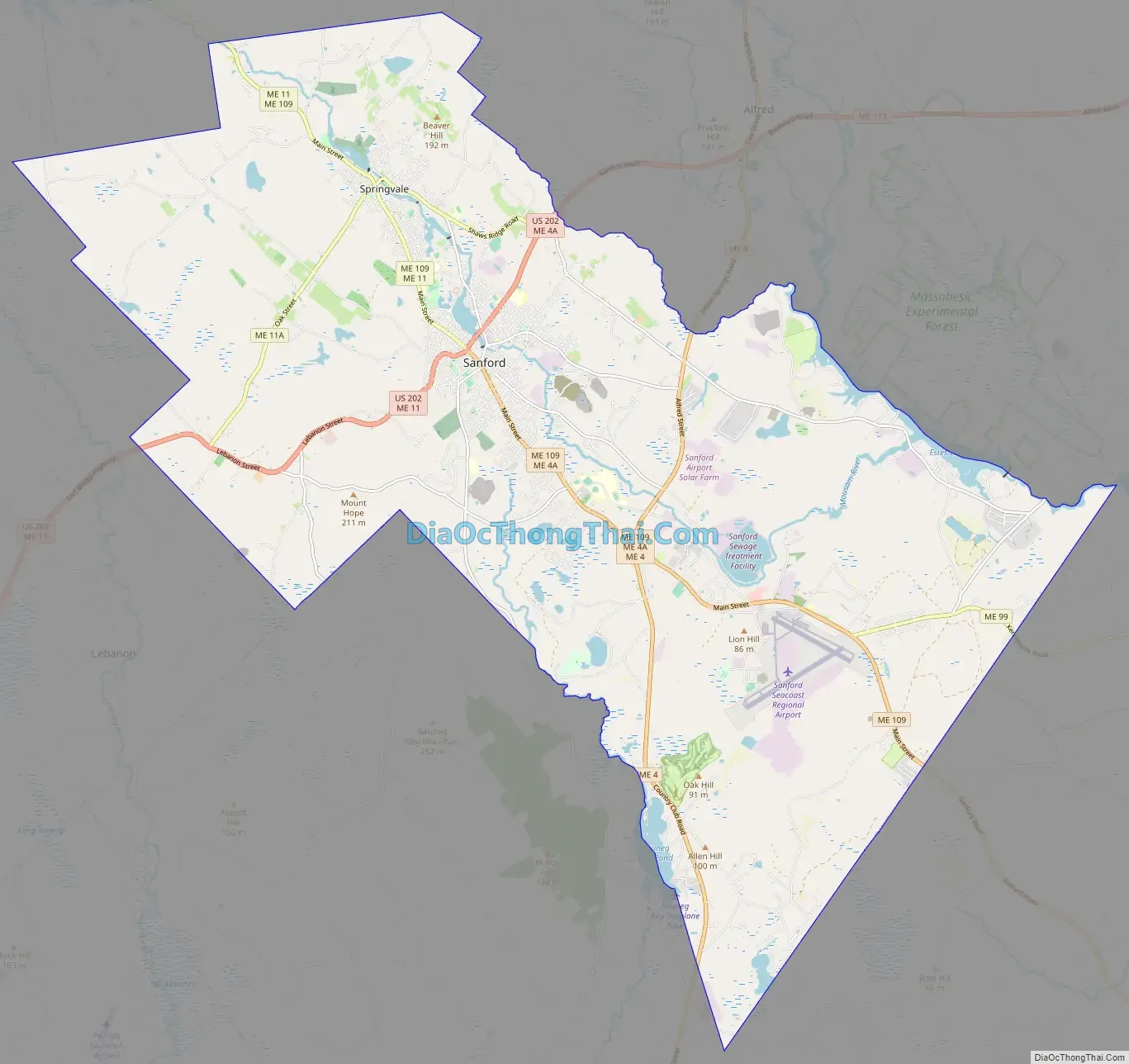
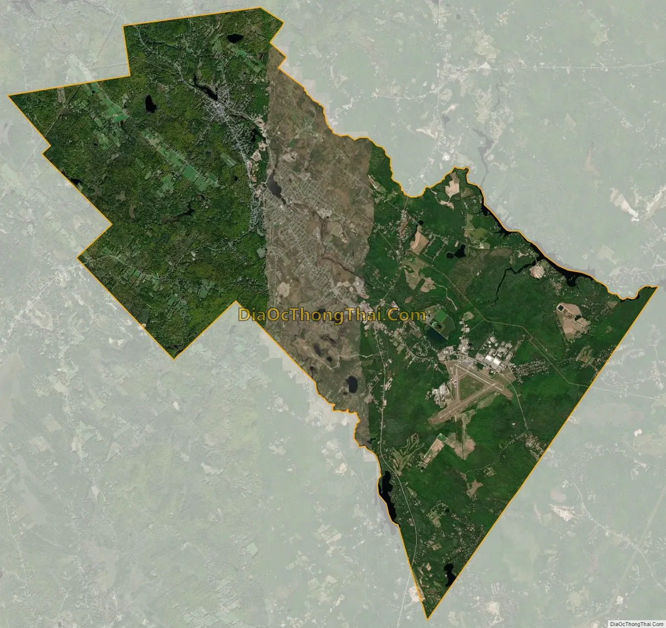
Sanford city Satellite Map
Geography
Sanford is located at 43°26′23″N 70°46′23″W / 43.43972°N 70.77306°W / 43.43972; -70.77306 (43.439925, −70.773304). According to the United States Census Bureau, the city has a total area of 48.75 square miles (126.26 km), of which, 47.78 square miles (123.75 km) of it is land and 0.97 square miles (2.51 km) is water. Located near foothills, Sanford is drained by the Mousam River. Mt. Hope, elevation 680 feet (207 m) above sea level, is the city’s highest point. The lowest elevation, which is approximately 140 feet (42.7 m) above sea level, is on the Mousam River at Old Falls Pond as it flows into Kennebunk.
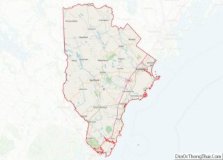
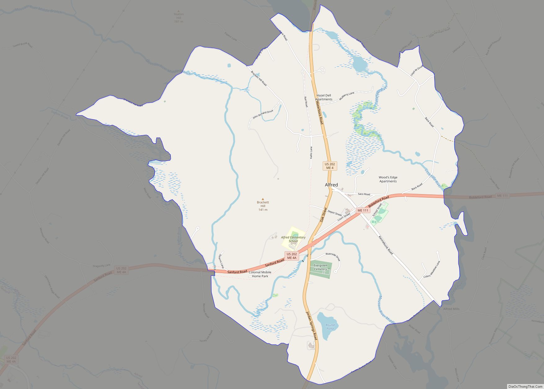
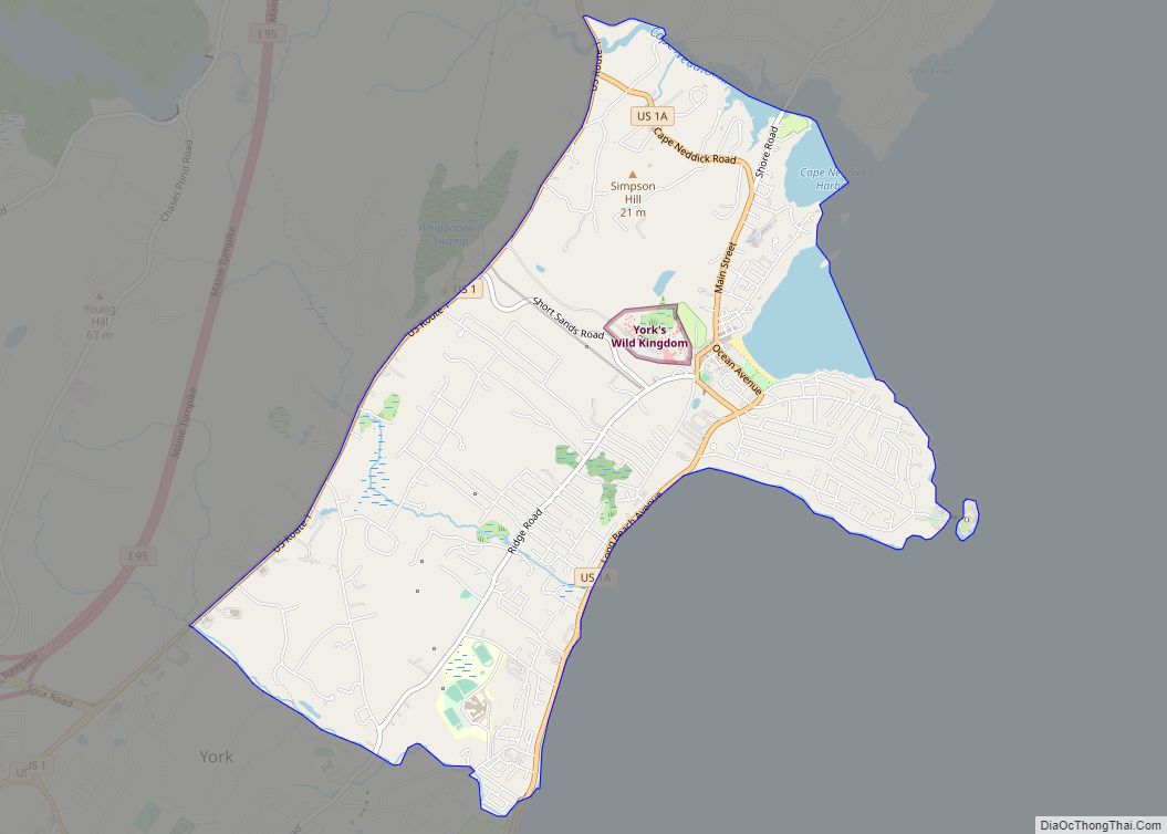
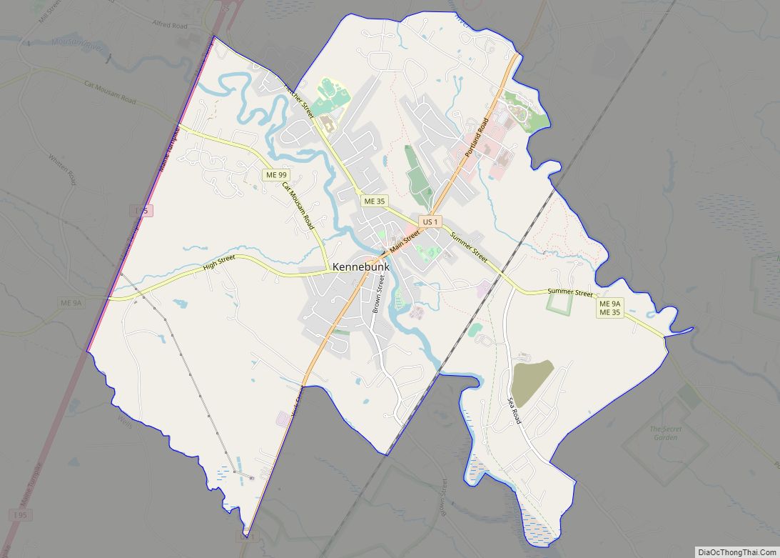
Sanford borders the towns of Shapleigh, Acton, Alfred, Kennebunk, Wells, North Berwick, and Lebanon.
Number One Pond
Moon over Gowen Park
MacDougal Pond
Climate
The climate is humid continental, similar to that of nearby towns such as Concord, New Hampshire. The Köppen classification is Dfb.
See also
Map of Maine State and its subdivision: Map of other states:- Alabama
- Alaska
- Arizona
- Arkansas
- California
- Colorado
- Connecticut
- Delaware
- District of Columbia
- Florida
- Georgia
- Hawaii
- Idaho
- Illinois
- Indiana
- Iowa
- Kansas
- Kentucky
- Louisiana
- Maine
- Maryland
- Massachusetts
- Michigan
- Minnesota
- Mississippi
- Missouri
- Montana
- Nebraska
- Nevada
- New Hampshire
- New Jersey
- New Mexico
- New York
- North Carolina
- North Dakota
- Ohio
- Oklahoma
- Oregon
- Pennsylvania
- Rhode Island
- South Carolina
- South Dakota
- Tennessee
- Texas
- Utah
- Vermont
- Virginia
- Washington
- West Virginia
- Wisconsin
- Wyoming