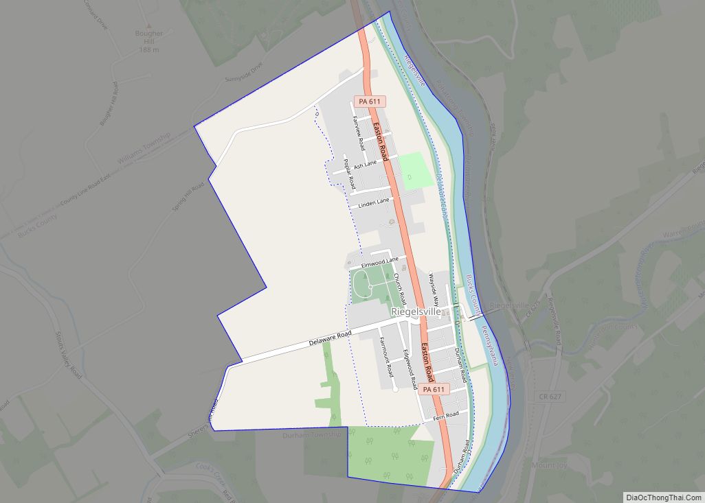
Riegelsville is a borough in Bucks County, Pennsylvania, United States. The population was 868 at the 2010 census. It is included in the Philadelphia–Wilmington–Camden metropolitan statistical area, despite being so closely connected to the Lehigh Valley. Riegelsville borough overview: Name: Riegelsville borough LSAD Code: 21 LSAD Description: borough (suffix) State: Pennsylvania County: Bucks County Elevation: ... Read more
Pennsylvania Cities and Places
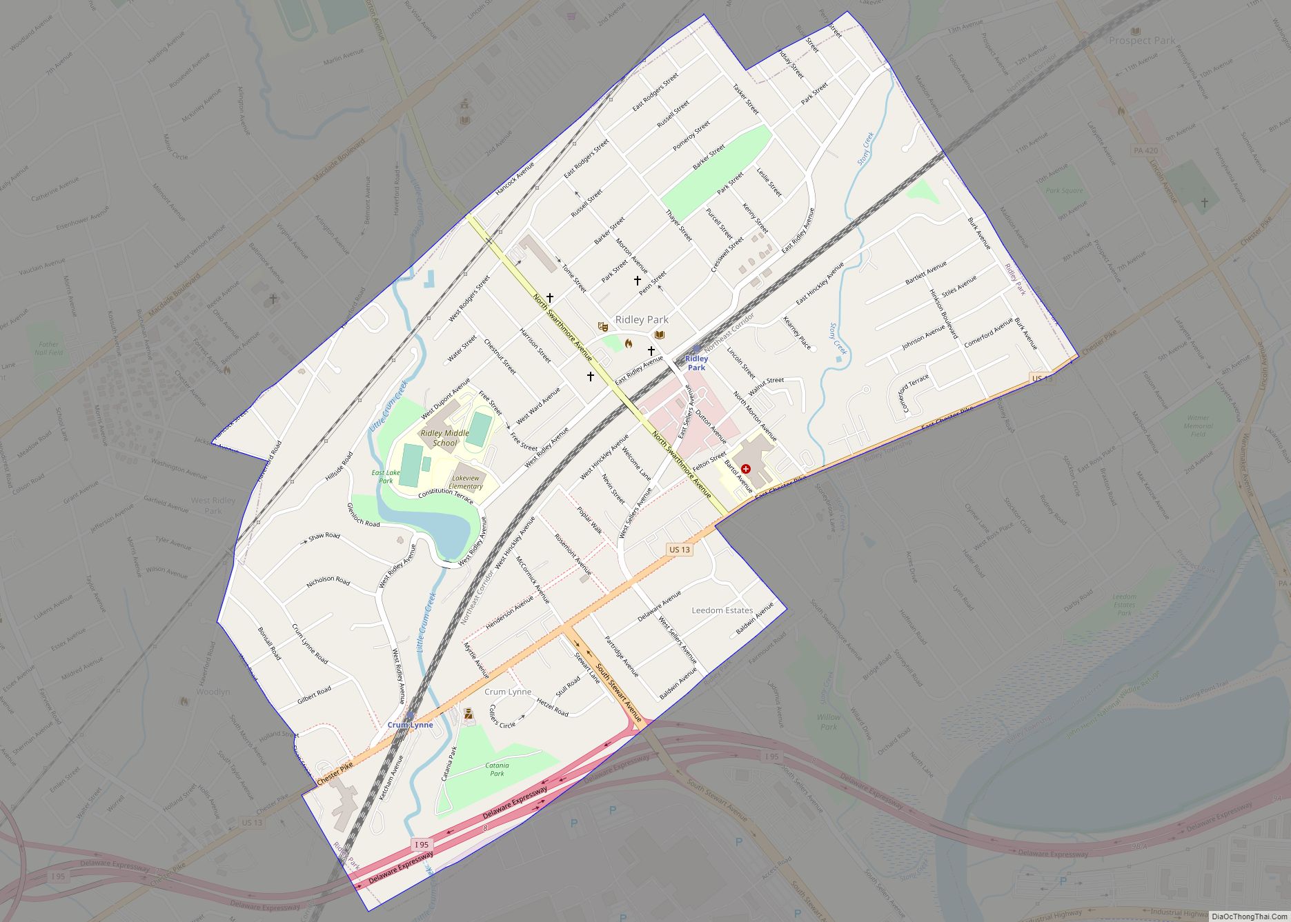
Ridley Park is a borough in Delaware County, Pennsylvania, United States. The population was 7,002 at the 2010 census. Ridley Park is the home of The Boeing Company’s CH-47 Chinook helicopter division. Ridley Park borough overview: Name: Ridley Park borough LSAD Code: 21 LSAD Description: borough (suffix) State: Pennsylvania County: Delaware County Elevation: 89 ft (27 m) ... Read more
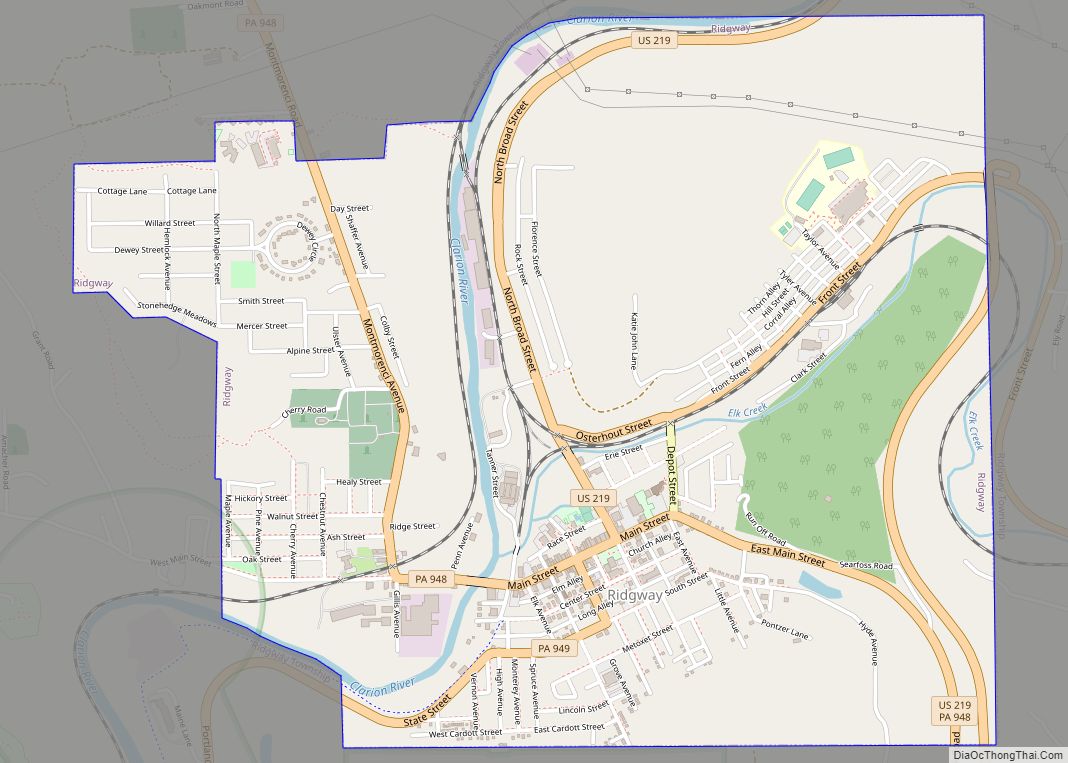
Ridgway is a borough in and the county seat of Elk County, Pennsylvania. As of the 2020 census it had a population of 4,039 Ridgway borough overview: Name: Ridgway borough LSAD Code: 21 LSAD Description: borough (suffix) State: Pennsylvania County: Elk County Incorporated: 1880 Elevation: 1,381 ft (421 m) Total Area: 2.67 sq mi (6.91 km²) Land Area: 2.61 sq mi (6.77 km²) ... Read more
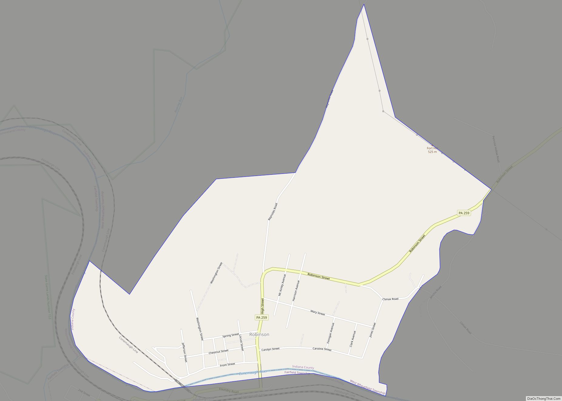
Robinson is a census-designated place located in West Wheatfield Township, Indiana County in the state of Pennsylvania, United States. The community is located near the Westmoreland County line and the borough of Bolivar, along Pennsylvania Route 259. As of the 2010 census, the population was 614 residents. Robinson CDP overview: Name: Robinson CDP LSAD Code: ... Read more
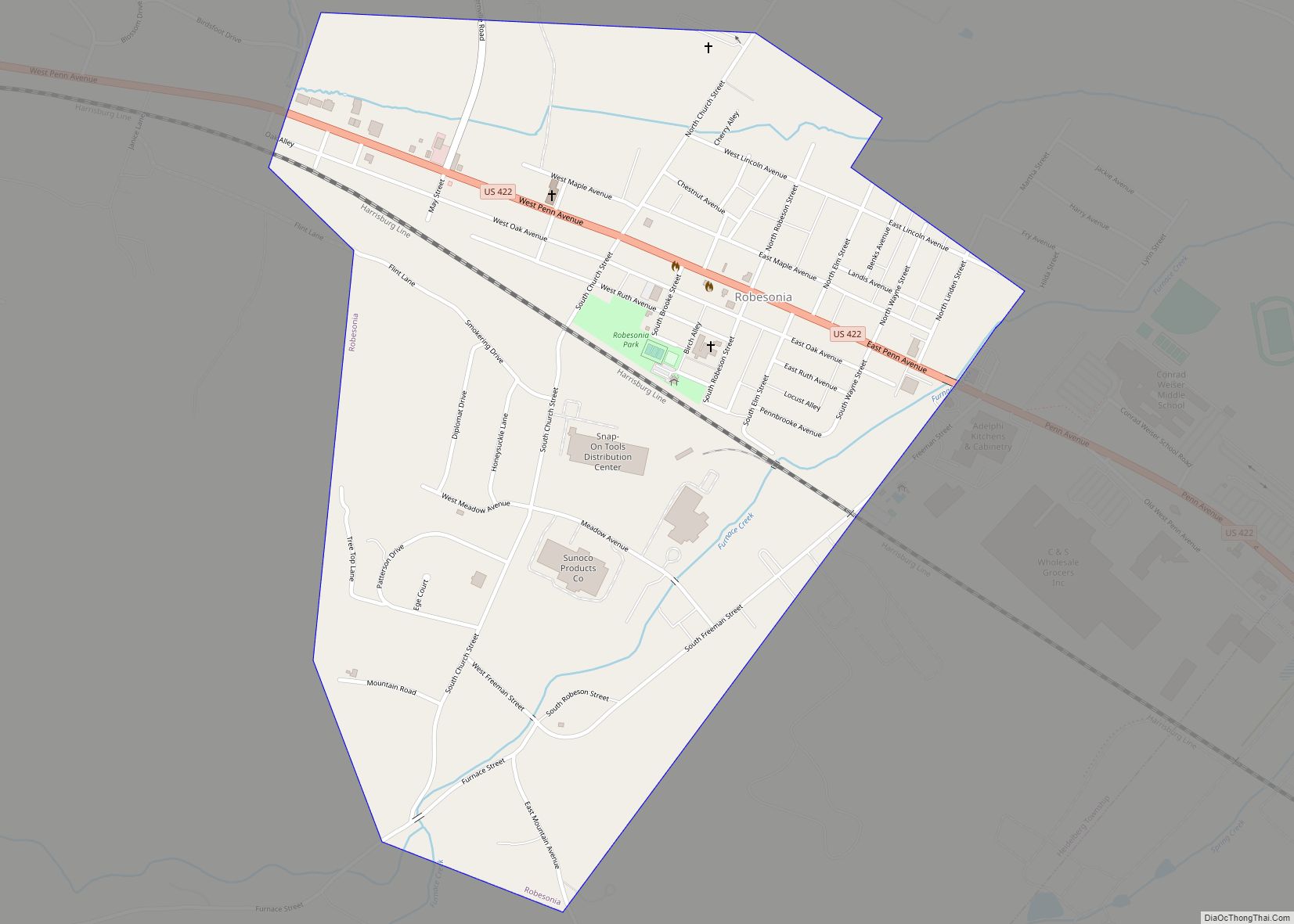
Robesonia is a borough in Berks County, Pennsylvania, United States. The population was 2,061 at the 2010 census. Once famous for its iron furnaces (c. 1794–1927), the town was founded in 1855 by Henry P. Robeson, who had acquired existing iron manufacturing operations and founded the Robesonia Iron Company in 1845. The town is now ... Read more
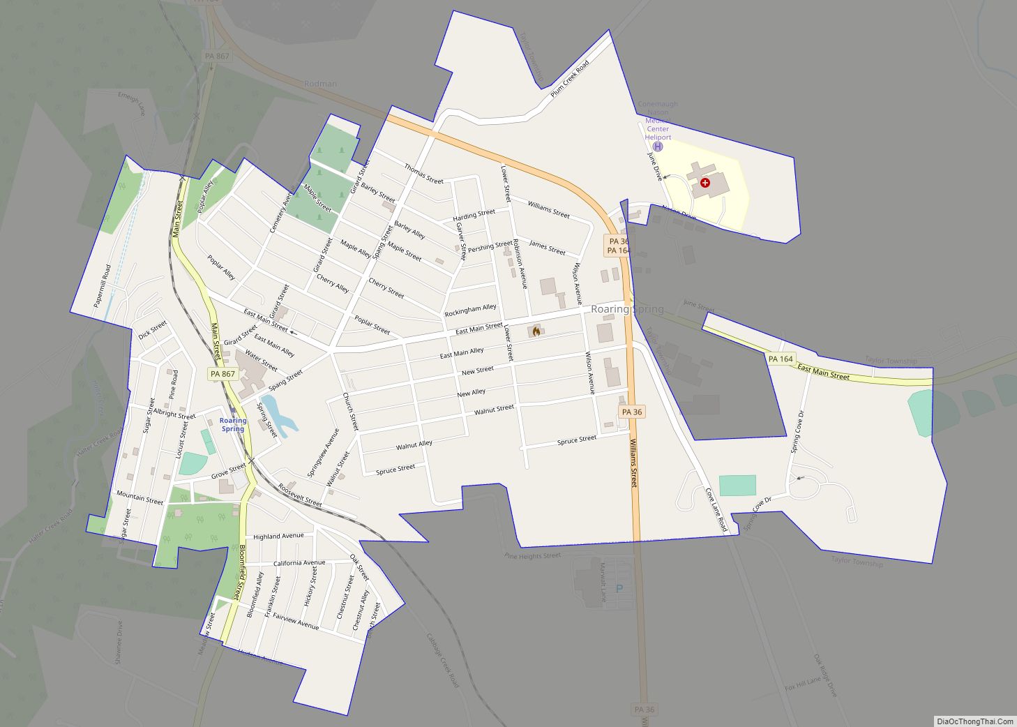
Roaring Spring is a borough in Blair County, Pennsylvania, United States. The population was 2,392 at the 2020 census. It is part of the Altoona, PA Metropolitan Statistical Area Roaring Spring borough overview: Name: Roaring Spring borough LSAD Code: 21 LSAD Description: borough (suffix) State: Pennsylvania County: Blair County Incorporated: 1888 Elevation: 1,027 ft (313 m) Total ... Read more
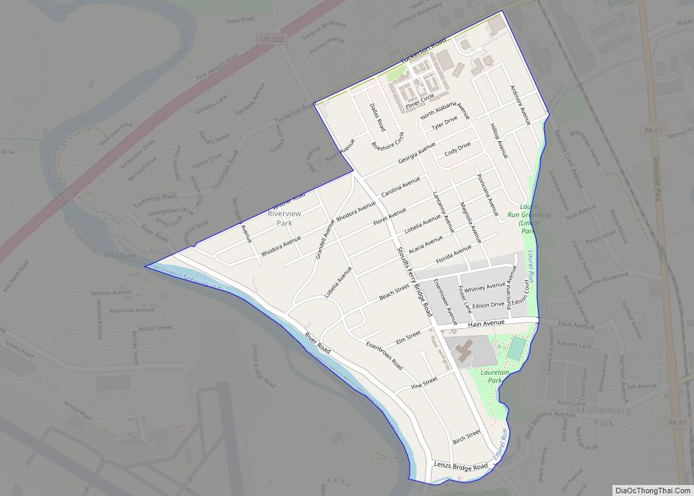
Riverview Park is a census-designated place in Muhlenberg Township, Berks County, Pennsylvania, United States. It is located along the banks of the Schuylkill River, approximately 6 miles (9.7 km) north of the city of Reading. As of the 2010 census, the population was 3,380 residents. Riverview Park CDP overview: Name: Riverview Park CDP LSAD Code: 57 ... Read more
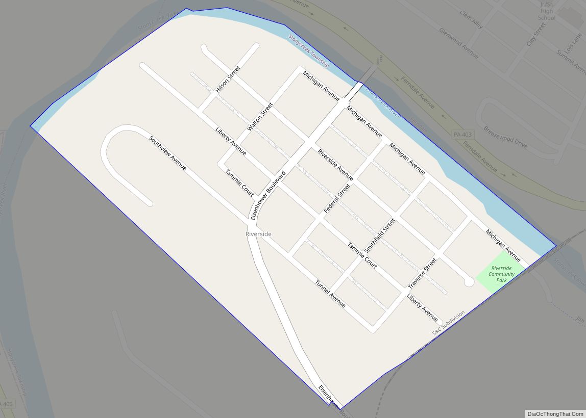
Riverside is an unincorporated community and census-designated place in Stonycreek Township, Cambria County, Pennsylvania, United States. It is located just to the south of the city of Johnstown inside a bend formed by the Stonycreek River. As of the 2010 census, the population of Riverside was 381. Riverside CDP overview: Name: Riverside CDP LSAD Code: ... Read more
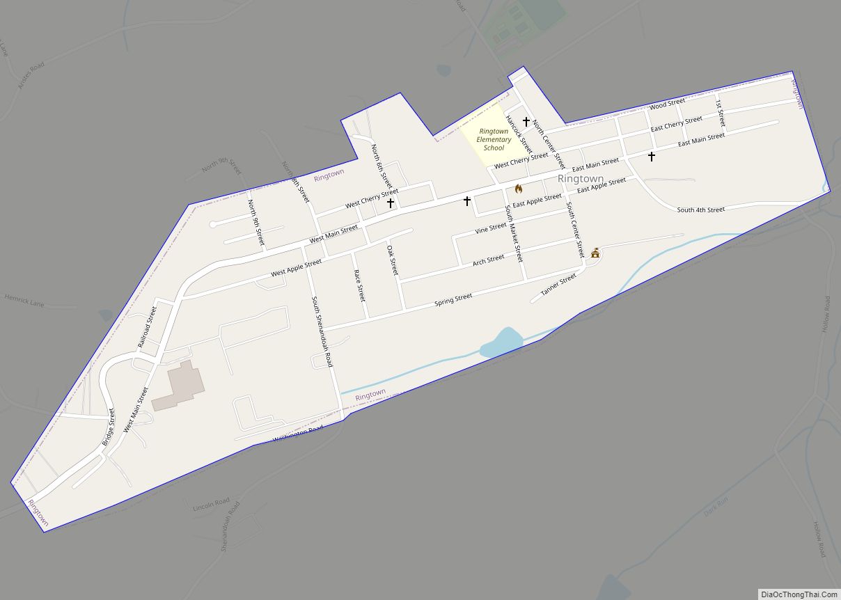
Ringtown is a borough in Schuylkill County, Pennsylvania, United States. It is approximately 5 miles north northwest of Shenandoah and 17 miles west southwest of Hazleton. Other nearby towns and boroughs include Zion Grove, Pattersonville and Nuremberg. Ringtown borough overview: Name: Ringtown borough LSAD Code: 21 LSAD Description: borough (suffix) State: Pennsylvania County: Schuylkill County ... Read more
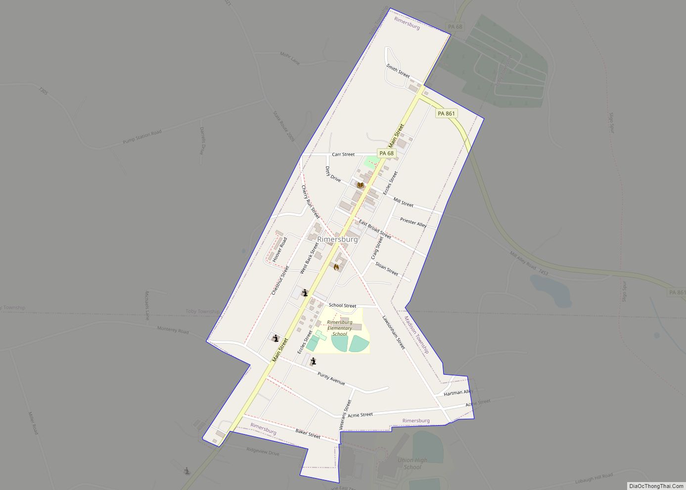
Rimersburg (/ˈraɪmɛrzbərɡ/ RYE-merz-berg) is a borough in Clarion County in the U.S. state of Pennsylvania. The population was 945 at the 2020 census. Rimersburg borough overview: Name: Rimersburg borough LSAD Code: 21 LSAD Description: borough (suffix) State: Pennsylvania County: Clarion County Incorporated: 1853 Elevation: 1,480 ft (450 m) Total Area: 0.36 sq mi (0.94 km²) Land Area: 0.36 sq mi (0.94 km²) Water ... Read more
Ronks is a small unincorporated farming community and census-designated place (CDP) in East Lampeter Township, Lancaster County, Pennsylvania, United States, just west of Paradise. As of the 2010 census the population was 362. The community is the home of Ronks Concrete Company and has a large Amish and Mennonite population. The Ronks ZIP code of ... Read more
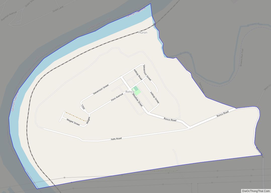
Ronco is an unincorporated community and census-designated place in German Township, Fayette County, Pennsylvania, United States. It is located 2 miles (3 km) north of the borough of Masontown, along the east bank of the Monongahela River. As of the 2010 census, the population of Ronco was 256. Ronco CDP overview: Name: Ronco CDP LSAD Code: ... Read more
