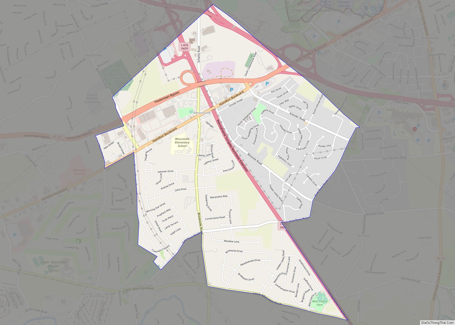
Wescosville is a census-designated place located in Lehigh County, Pennsylvania. It is located between Allentown and Trexlertown in Lower Macungie Township. It is part of the Lehigh Valley, which had a population of 861,899 and was the 68th-most populous metropolitan area in the U.S. as of the 2020 census. As of the 2010 census, the ... Read more
Pennsylvania Cities and Places
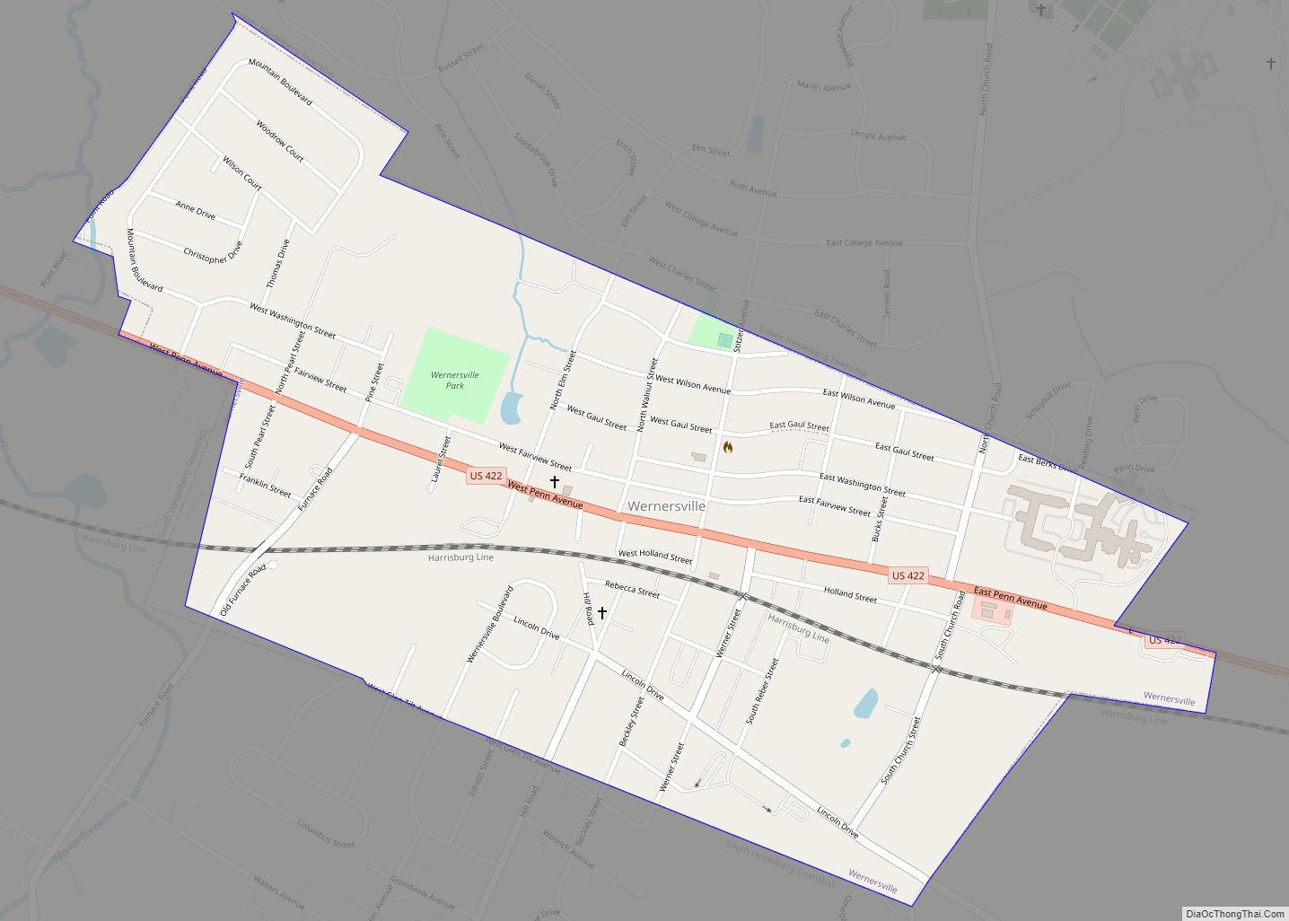
Wernersville is a borough in Berks County, Pennsylvania. The population was 2,494 at the 2010 census. Wernersville borough overview: Name: Wernersville borough LSAD Code: 21 LSAD Description: borough (suffix) State: Pennsylvania County: Berks County Elevation: 387 ft (118 m) Total Area: 0.75 sq mi (1.95 km²) Land Area: 0.75 sq mi (1.95 km²) Water Area: 0.00 sq mi (0.00 km²) Total Population: 2,494 Population Density: 3,727.03/sq mi ... Read more
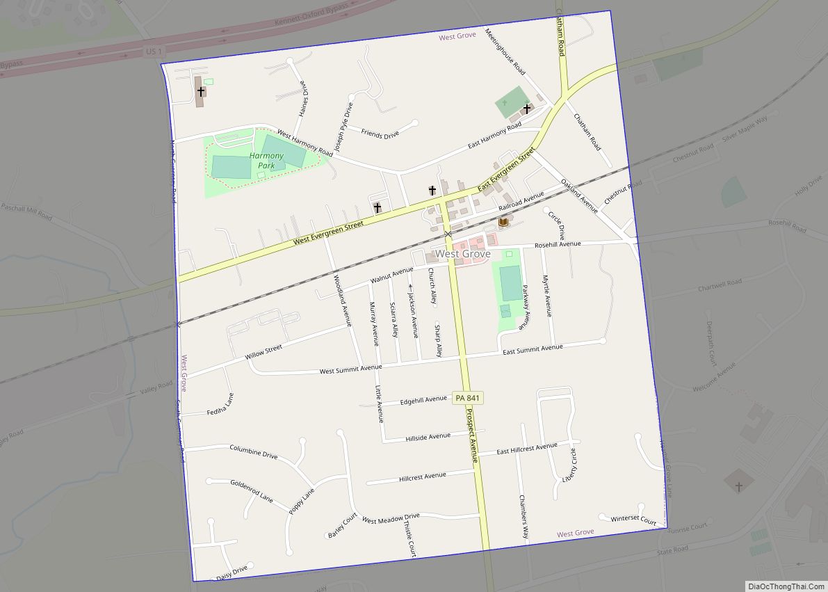
West Grove is a borough in Chester County, Pennsylvania, United States. The population was 2,775 at the 2020 census. West Grove borough overview: Name: West Grove borough LSAD Code: 21 LSAD Description: borough (suffix) State: Pennsylvania County: Chester County Incorporated: November 29, 1893 Elevation: 430 ft (130 m) Total Area: 0.65 sq mi (1.69 km²) Land Area: 0.65 sq mi (1.69 km²) Water ... Read more
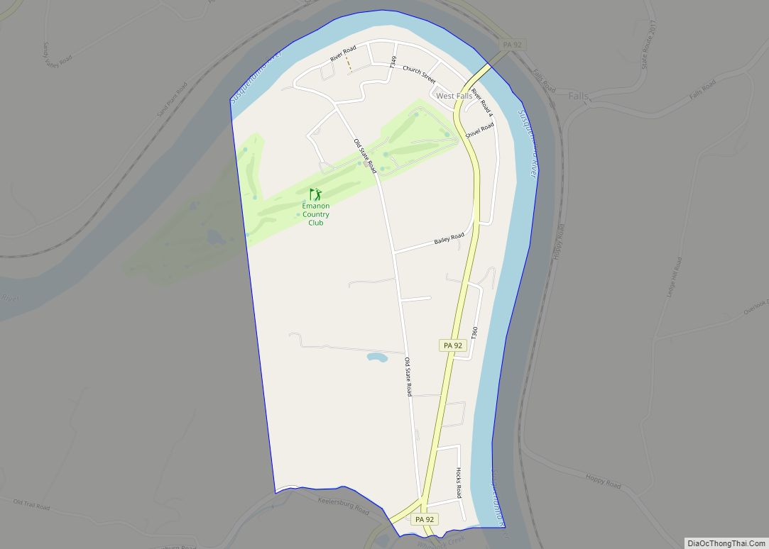
West Falls is a census-designated place located in Exeter Township, Wyoming County in the state of Pennsylvania. The community is located very close to Pennsylvania Route 92 near the Susquehanna River. As of the 2010 census the population was 382 residents. West Falls CDP overview: Name: West Falls CDP LSAD Code: 57 LSAD Description: CDP ... Read more
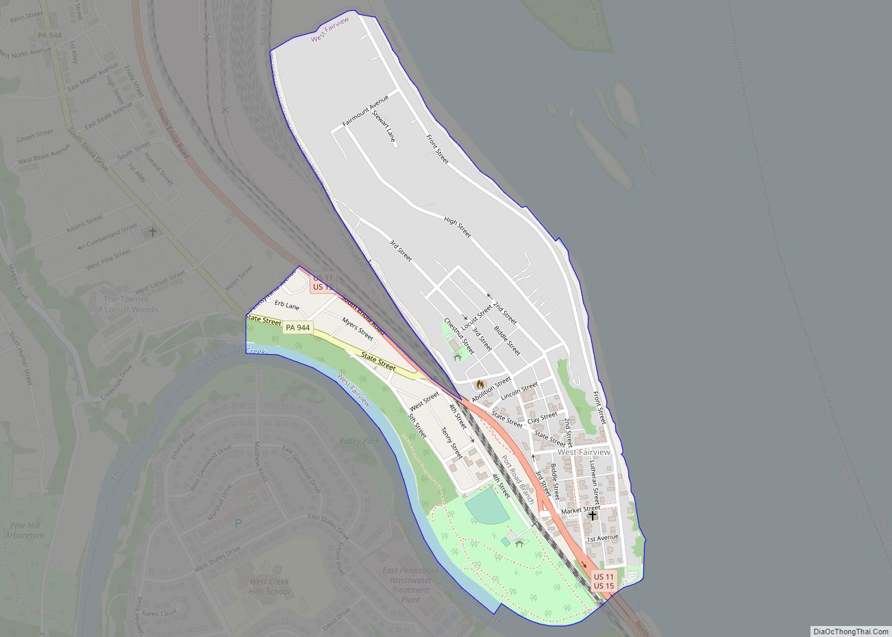
West Fairview, formerly a borough, is now a census-designated place (CDP) located at the confluence of the Susquehanna River and the Conodoguinet Creek in East Pennsboro Township, Cumberland County, Pennsylvania, United States. As of the 2020 census, the village had a population of 1,138. West Fairview CDP overview: Name: West Fairview CDP LSAD Code: 57 ... Read more
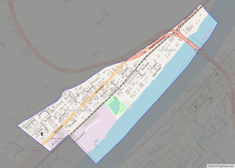
West Elizabeth is a borough in Allegheny County, Pennsylvania, United States. The population was 403 at the 2020 census. West Elizabeth borough overview: Name: West Elizabeth borough LSAD Code: 21 LSAD Description: borough (suffix) State: Pennsylvania County: Allegheny County Total Area: 0.24 sq mi (0.63 km²) Land Area: 0.18 sq mi (0.46 km²) Water Area: 0.07 sq mi (0.17 km²) Total Population: 403 Population ... Read more
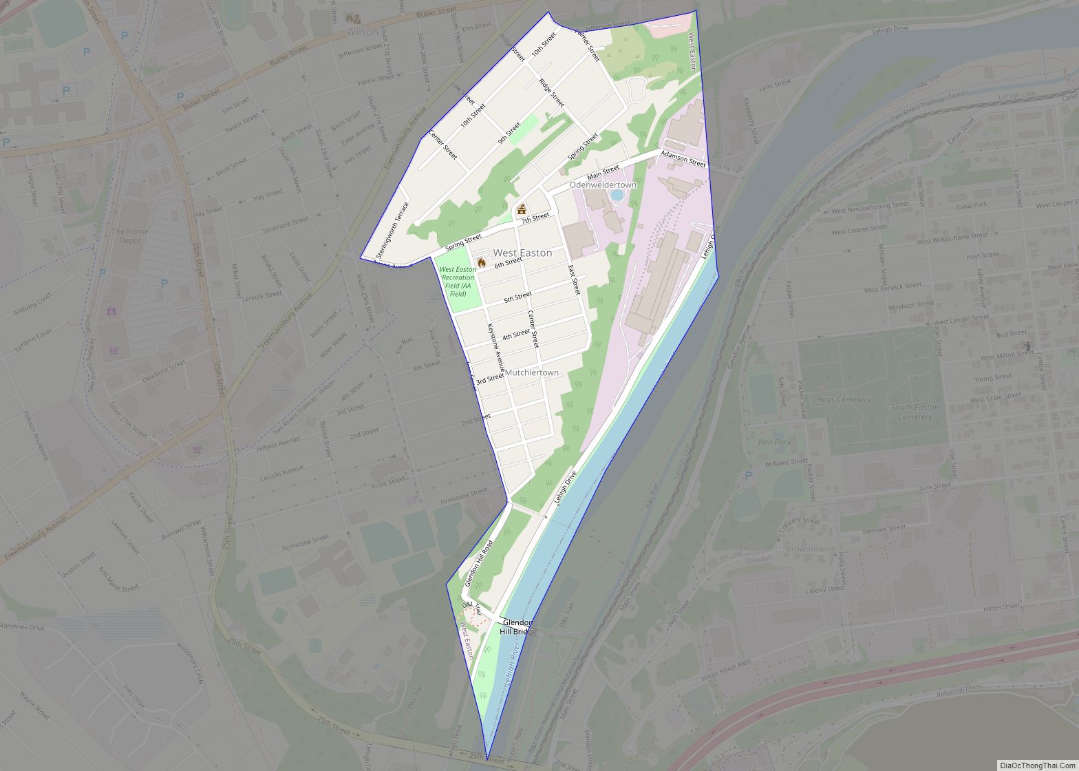
West Easton is a borough in Northampton County, Pennsylvania. The population of West Easton was 1,257 at the 2010 U.S. census. West Easton is part of the greater Easton area and the Lehigh Valley metropolitan area, which had a population of 861,899 and was the 68th-most populous metropolitan area in the U.S. as of the ... Read more
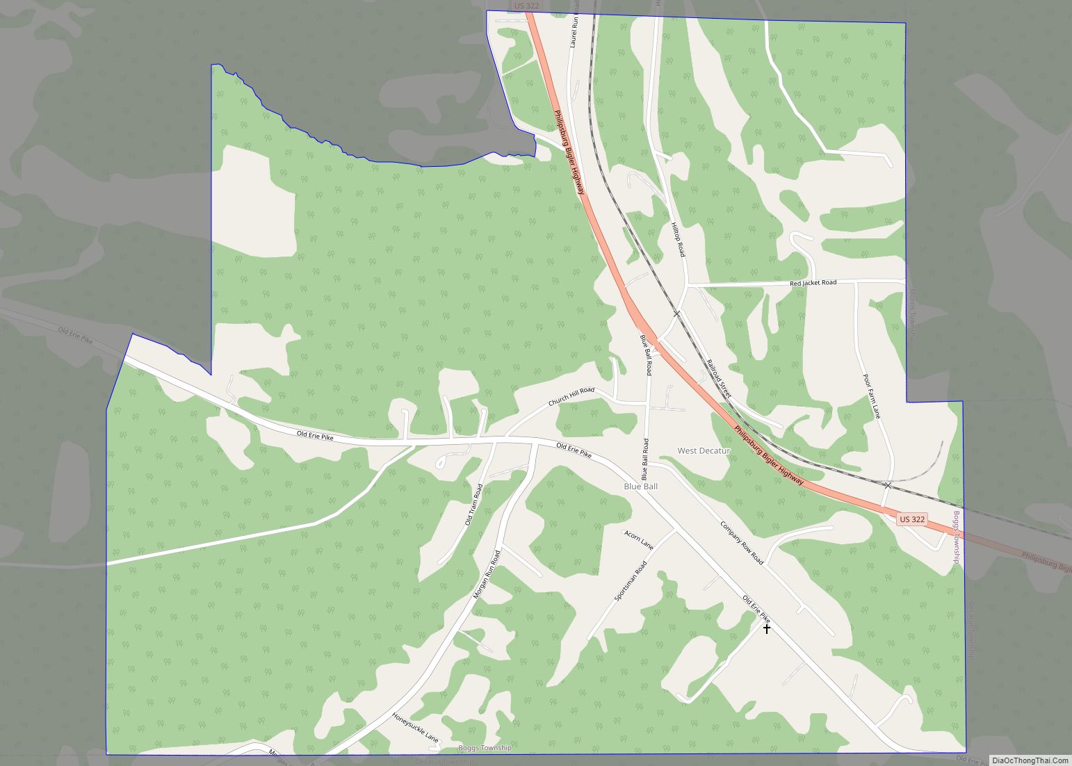
West Decatur is an unincorporated community and census-designated place in Clearfield County, Pennsylvania, United States. As of the 2020 census the population of West Decatur was 453. It lies in the southeast corner of Boggs Township along Blue Ball Road just south of U.S. Route 322 between Wallaceton and Philipsburg. It was also known as ... Read more
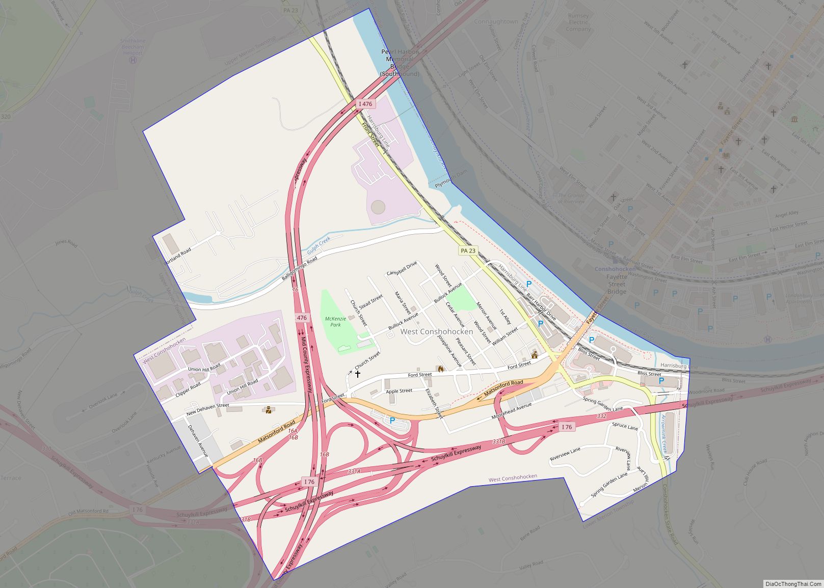
West Conshohocken is a borough in Montgomery County, Pennsylvania, United States. The population was 1,320 at the 2010 census. Its sister community is Conshohocken, located across the Schuylkill River. Montgomery County’s seat, Norristown, is located approximately two miles north of, and on the opposite side of the river from, West Conshohocken. West Conshohocken borough overview: ... Read more
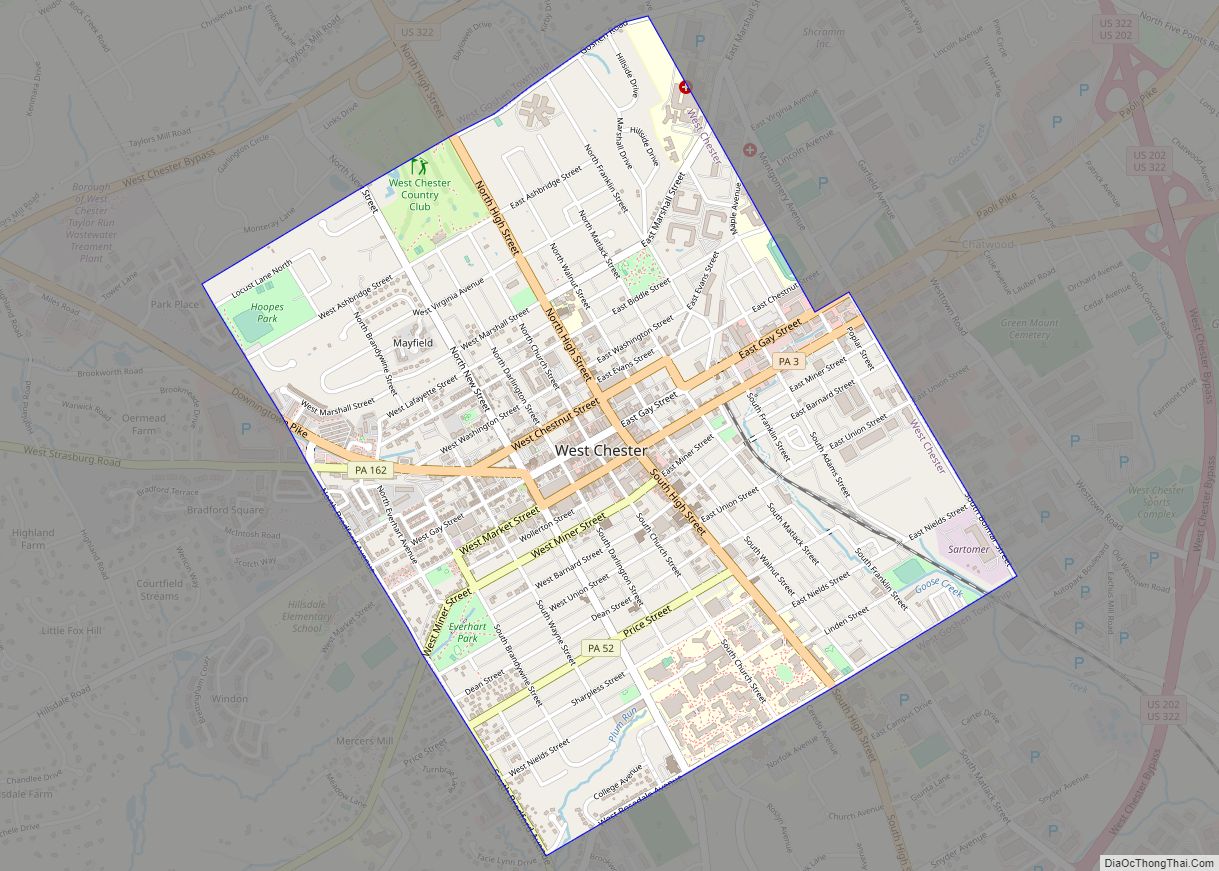
West Chester is a borough and the county seat of Chester County, Pennsylvania, United States. Located within the Philadelphia metropolitan area, the borough had a population of 18,461 at the 2010 census. West Chester is the mailing address for most of its neighboring townships. When calculated by mailing address, the population as of the 2010 ... Read more
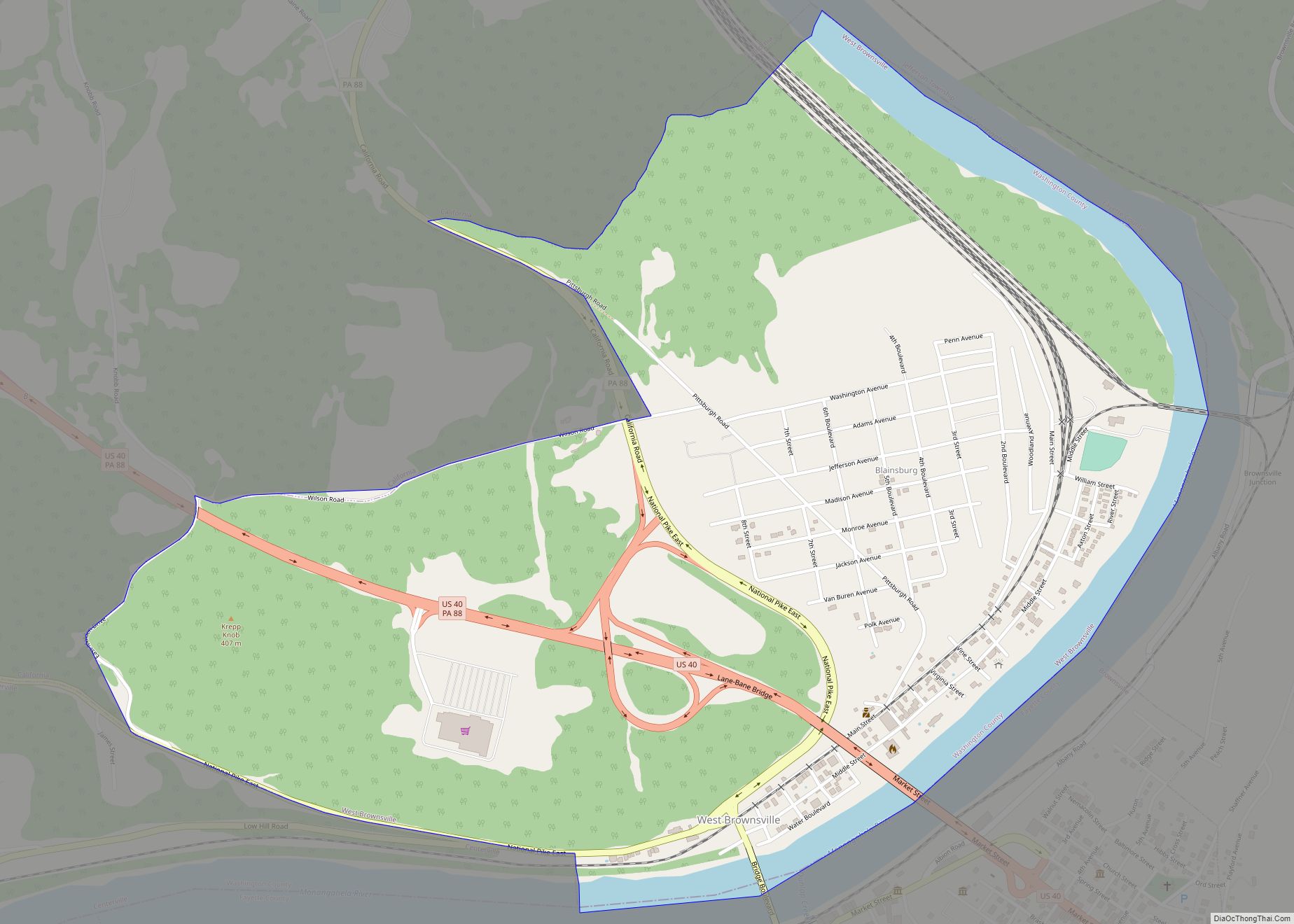
West Brownsville borough overview: Name: West Brownsville borough LSAD Code: 21 LSAD Description: borough (suffix) State: Pennsylvania County: Washington County FIPS code: 4282616 Online Interactive Map West Brownsville online map. Source: Basemap layers from Google Map, Open Street Map (OSM), Arcgisonline, Wmflabs. Boundary Data from Database of Global Administrative Areas. West Brownsville location map. Where ... Read more
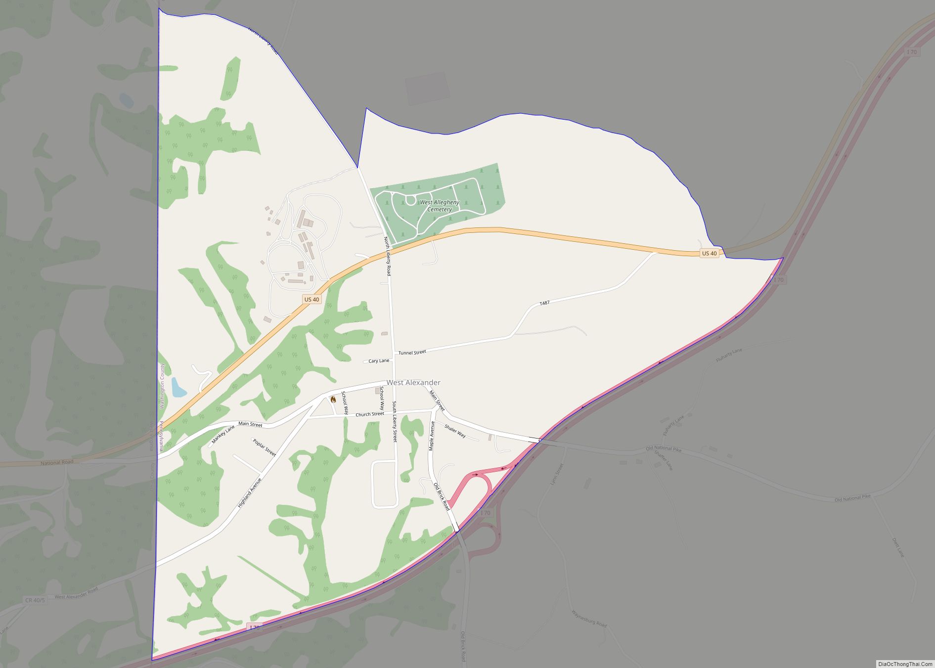
West Alexander is a census-designated place in Donegal Township, Washington County, Pennsylvania, and formerly a borough in Washington County. Located less than a mile east of the border with West Virginia, the population was 604 at the 2010 census, just short of double the population of 320 recorded in the 2000 Census. The borough was ... Read more
