West Conshohocken is a borough in Montgomery County, Pennsylvania, United States. The population was 1,320 at the 2010 census.
Its sister community is Conshohocken, located across the Schuylkill River. Montgomery County’s seat, Norristown, is located approximately two miles north of, and on the opposite side of the river from, West Conshohocken.
| Name: | West Conshohocken borough |
|---|---|
| LSAD Code: | 21 |
| LSAD Description: | borough (suffix) |
| State: | Pennsylvania |
| County: | Montgomery County |
| Incorporated: | 1874 |
| Elevation: | 144 ft (44 m) |
| Total Area: | 0.88 sq mi (2.29 km²) |
| Land Area: | 0.84 sq mi (2.19 km²) |
| Water Area: | 0.04 sq mi (0.10 km²) |
| Total Population: | 1,320 |
| Population Density: | 1,696.68/sq mi (654.73/km²) |
| ZIP code: | 19428 |
| FIPS code: | 4282736 |
| Website: | https://westconsho.com/ |
Online Interactive Map
Click on ![]() to view map in "full screen" mode.
to view map in "full screen" mode.
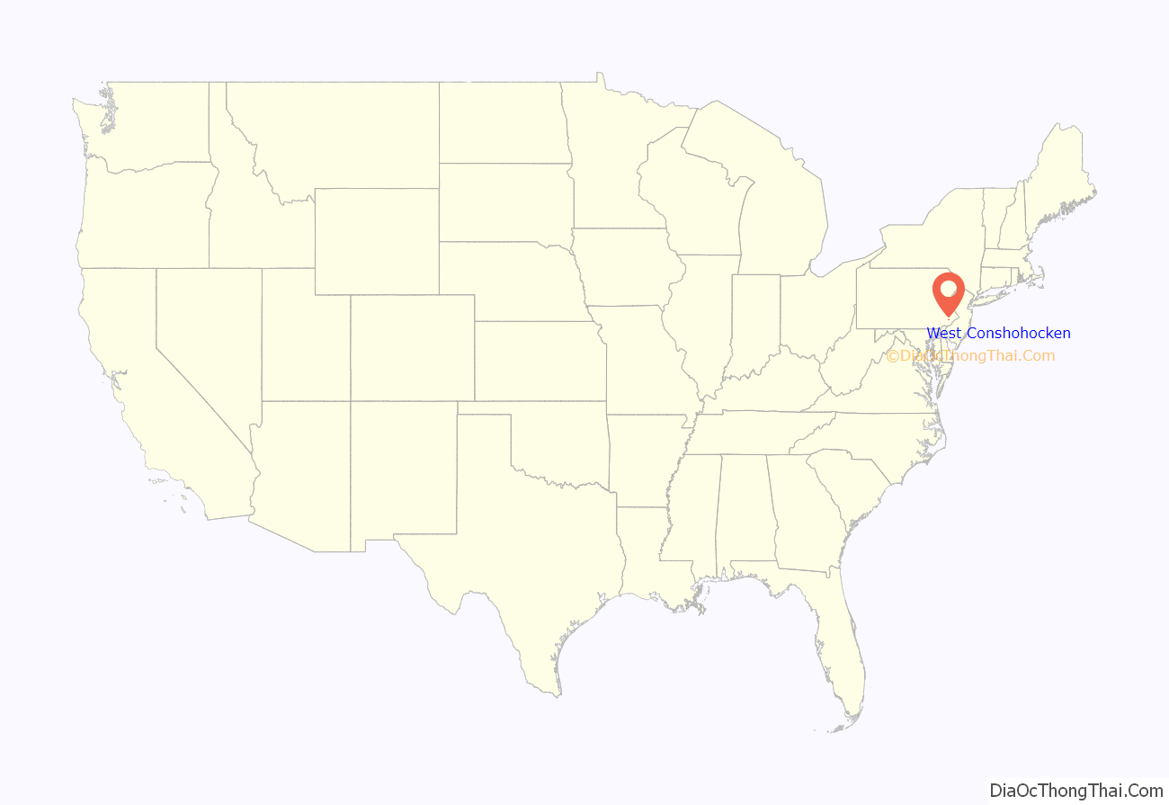
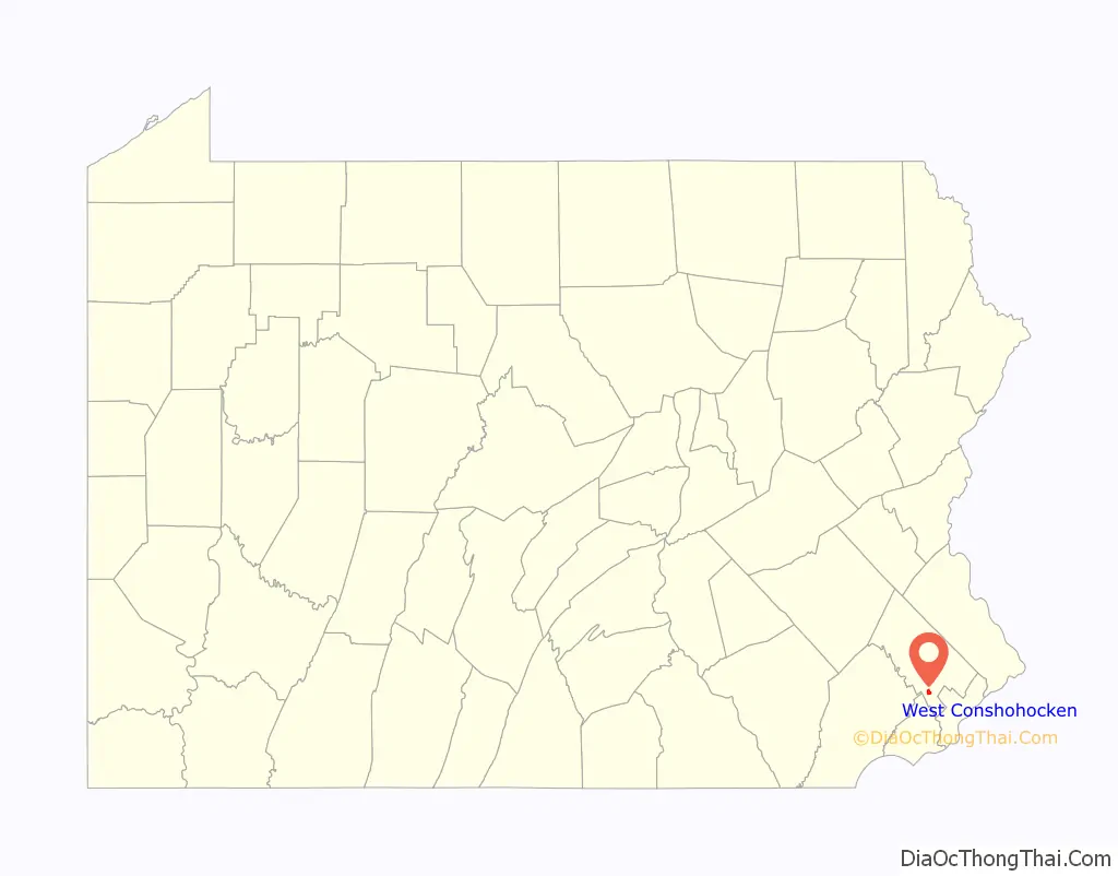
West Conshohocken location map. Where is West Conshohocken borough?
History
West Conshohocken Borough was incorporated October 6, 1874 from land taken almost equally from the Townships of Lower and Upper Merion. As a river borough, there existed a large number of mills and other industries utilizing water power. The Dougherty Quarry was a prosperous business, producing stone of superior quality known as Conshohocken or Merion Blue. It was much sought after for public buildings, and was shipped by rail throughout the East before supplies were exhausted in the mid-twentieth century.
Today, with its proximity to highways I-76 and I-476 (Blue Route), this small borough and its sister Conshohocken Borough have experienced moderate office and retail development. West Conshohocken is easily identified by the mid and high-rise commercial development along its waterfront, which in recent years has also spread across the river to Conshohocken’s waterfront.
West Conshohocken Road Map
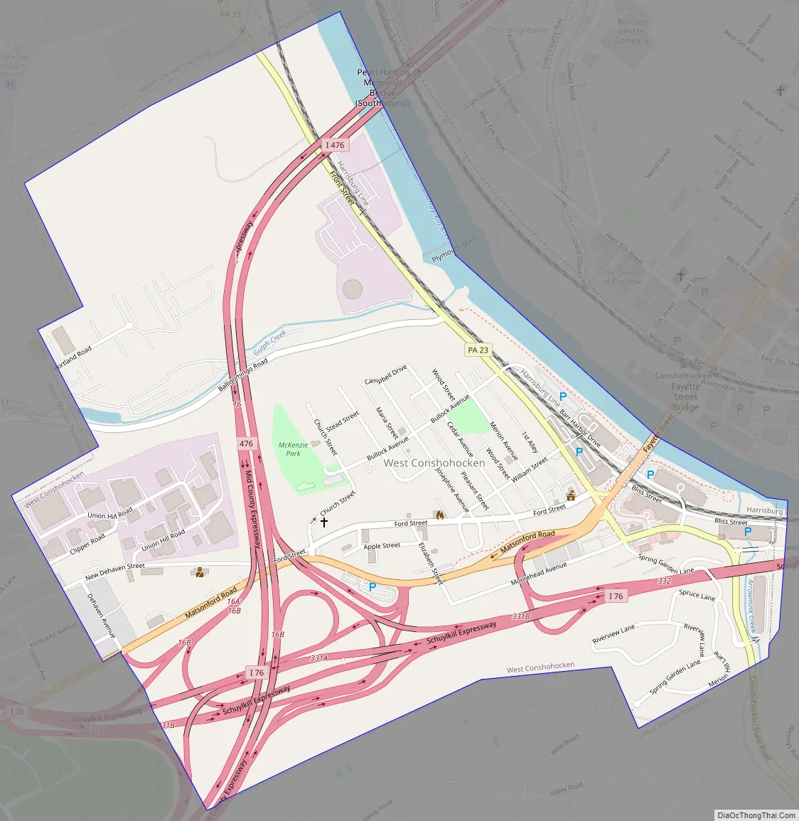
West Conshohocken city Satellite Map

Geography
West Conshohocken is located at 40°4′10″N 75°18′57″W / 40.06944°N 75.31583°W / 40.06944; -75.31583 (40.069509, -75.315755).
According to the United States Census Bureau, the borough has a total area of 0.9 square miles (2.3 km), of which 1.0 square mile (2.6 km) is land and 0.04 square miles (0.10 km) (4.49%) is water.
Climate
The climate in this area is characterized by hot, humid summers and generally mild to cool winters. According to the Köppen Climate Classification system, West Conshohocken has a humid subtropical climate, abbreviated “Cfa” on climate maps. Average monthly temperatures range from 32.1°F in January to 76.6°F in July. [1] The local hardiness zone is 7a.
See also
Map of Pennsylvania State and its subdivision:- Adams
- Allegheny
- Armstrong
- Beaver
- Bedford
- Berks
- Blair
- Bradford
- Bucks
- Butler
- Cambria
- Cameron
- Carbon
- Centre
- Chester
- Clarion
- Clearfield
- Clinton
- Columbia
- Crawford
- Cumberland
- Dauphin
- Delaware
- Elk
- Erie
- Fayette
- Forest
- Franklin
- Fulton
- Greene
- Huntingdon
- Indiana
- Jefferson
- Juniata
- Lackawanna
- Lancaster
- Lawrence
- Lebanon
- Lehigh
- Luzerne
- Lycoming
- Mc Kean
- Mercer
- Mifflin
- Monroe
- Montgomery
- Montour
- Northampton
- Northumberland
- Perry
- Philadelphia
- Pike
- Potter
- Schuylkill
- Snyder
- Somerset
- Sullivan
- Susquehanna
- Tioga
- Union
- Venango
- Warren
- Washington
- Wayne
- Westmoreland
- Wyoming
- York
- Alabama
- Alaska
- Arizona
- Arkansas
- California
- Colorado
- Connecticut
- Delaware
- District of Columbia
- Florida
- Georgia
- Hawaii
- Idaho
- Illinois
- Indiana
- Iowa
- Kansas
- Kentucky
- Louisiana
- Maine
- Maryland
- Massachusetts
- Michigan
- Minnesota
- Mississippi
- Missouri
- Montana
- Nebraska
- Nevada
- New Hampshire
- New Jersey
- New Mexico
- New York
- North Carolina
- North Dakota
- Ohio
- Oklahoma
- Oregon
- Pennsylvania
- Rhode Island
- South Carolina
- South Dakota
- Tennessee
- Texas
- Utah
- Vermont
- Virginia
- Washington
- West Virginia
- Wisconsin
- Wyoming


